Little Coppice
Wood, Forest in Dorset
England
Little Coppice
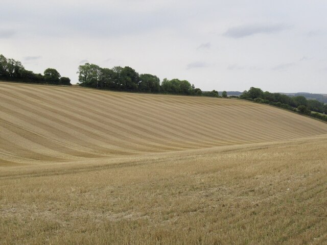
Little Coppice is a charming woodland area located in the county of Dorset, England. Situated near the village of Bere Regis, it covers an approximate area of 20 acres. The forest is known for its tranquility and natural beauty, offering visitors a peaceful escape from the hustle and bustle of everyday life.
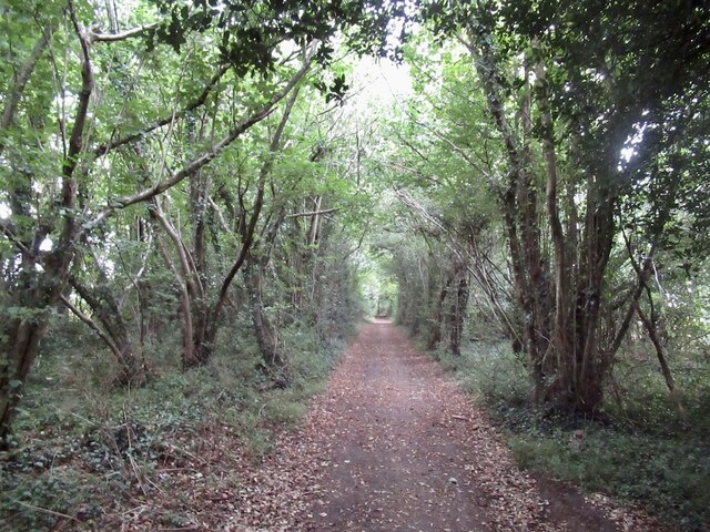
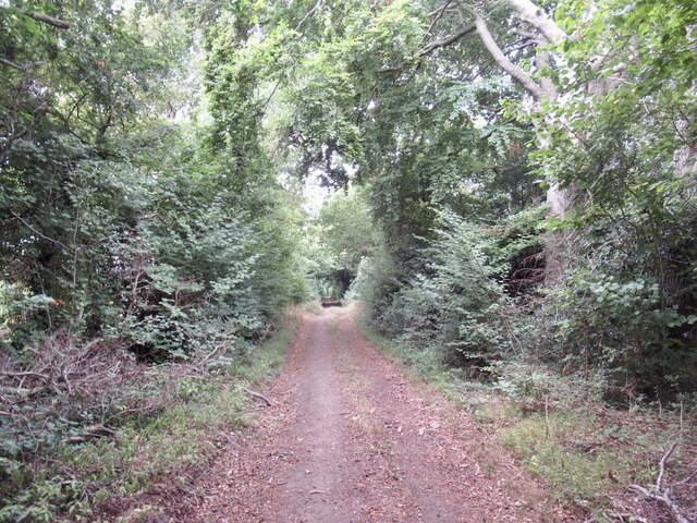
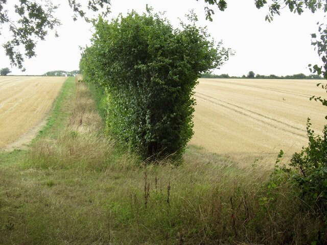
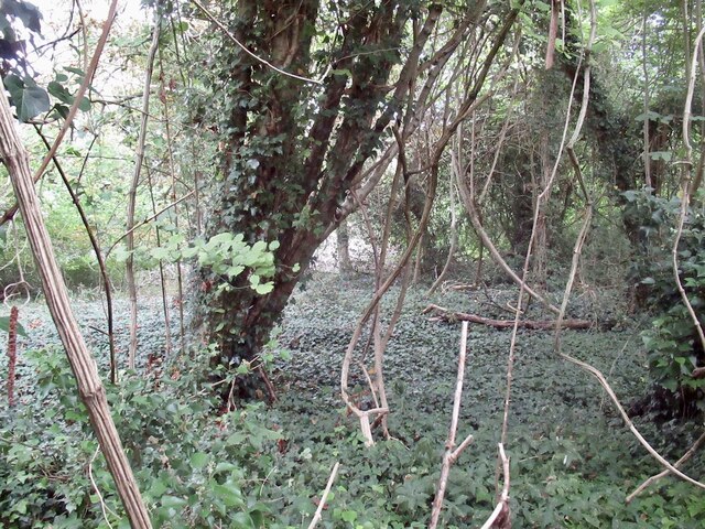
The woodland consists mainly of native broadleaf trees, such as oak, beech, and ash, which create a dense canopy, providing shade and shelter for a variety of wildlife. The forest floor is adorned with a carpet of wildflowers, including bluebells and primroses, adding a splash of color to the scenery during springtime.
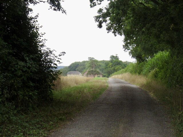
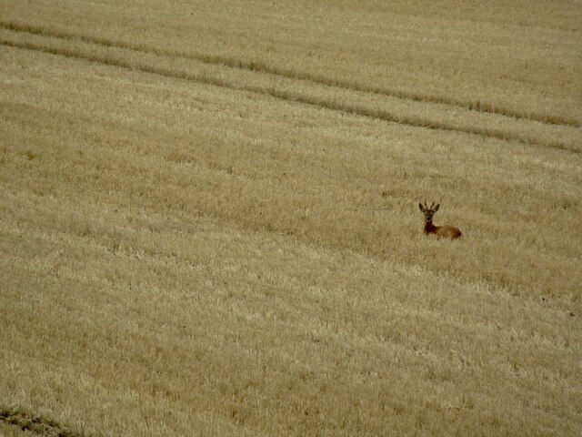
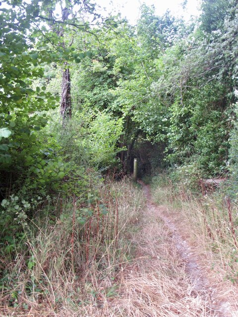
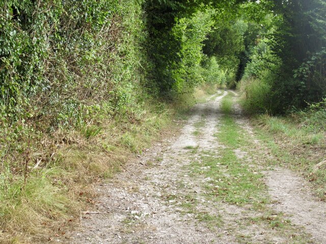
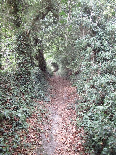
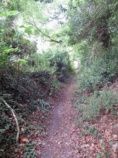
Little Coppice is a popular destination for nature enthusiasts and walkers who enjoy exploring its well-maintained trails. The pathways wind through the forest, allowing visitors to discover hidden glades, babbling brooks, and ancient trees. The diverse flora and fauna found in the woodland provide a haven for wildlife, with sightings of deer, foxes, and a rich bird population being common.
The forest is also home to a small picnic area, providing a perfect spot for visitors to relax and enjoy the surroundings. Furthermore, it offers ample opportunities for photography, with its picturesque landscapes and ever-changing colors throughout the seasons.
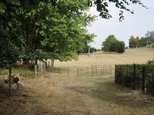
Little Coppice is easily accessible by foot or car, with a nearby parking area available for visitors. The woodland is open to the public year-round and is free of charge, making it an ideal destination for anyone seeking a peaceful retreat in the heart of Dorset's natural beauty.
If you have any feedback on the listing, please let us know in the comments section below.
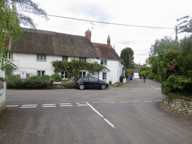
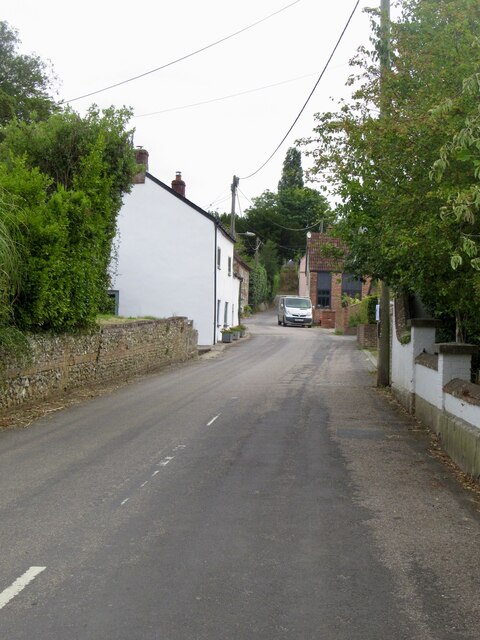
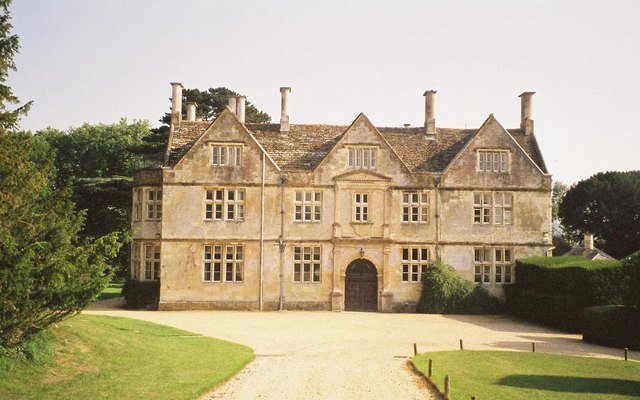
Little Coppice Images
Images are sourced within 2km of 50.895736/-2.1884063 or Grid Reference ST8610. Thanks to Geograph Open Source API. All images are credited.
Little Coppice is located at Grid Ref: ST8610 (Lat: 50.895736, Lng: -2.1884063)
Unitary Authority: Dorset
Police Authority: Dorset
What 3 Words
///packets.manage.encodes. Near Shillingstone, Dorset
Nearby Locations
Related Wikis

Ash (near Stourpaine)
Ash is a hamlet approximately 0.5 miles (1 km) north of the village of Stourpaine, Dorset, England.Ash was listed in the Domesday Book of 1086. == References... ==

Stepleton House
Stepleton House is a 17th-century country house in the parish of Iwerne Stepleton in Dorset, situated about 5 kilometres (3 mi) north of Blandford Forum...

Hod Hill
Hod Hill (or Hodd Hill) is a large hill fort in the Blackmore Vale, 3 miles (5 km) north-west of Blandford Forum, Dorset, England. The fort sits on a 143...

Stourpaine
Stourpaine () is a village and civil parish in the ceremonial county of Dorset in southern England. It is situated in the valley of the River Stour in...

Iwerne Stepleton
Iwerne Stepleton (anciently Ewern Stapleton, etc.) is a small civil parish and former manor in the county of Dorset, England. The parish comprises about...

Stourpaine and Durweston railway station
Stourpaine & Durweston Halt was a railway station in the English county of Dorset. It was located between Shillingstone and Blandford Forum on the Somerset...

Iwerne Courtney
Iwerne Courtney (), also known as Shroton, is a village and civil parish in the English county of Dorset. It lies approximately 4 miles (6 kilometres)...
Hanford School
Hanford School is a girls' boarding preparatory school located in Hanford, Child Okeford, Dorset, England, established in 1947 and located in a grade II...
Nearby Amenities
Located within 500m of 50.895736,-2.1884063Have you been to Little Coppice?
Leave your review of Little Coppice below (or comments, questions and feedback).