Ash

Settlement in Somerset South Somerset

England

Ash

Town Tree Lane
Town Tree Lane Credit: Sarah Charlesworth

Ash is a small village located in the county of Somerset, England. Situated approximately five miles south of Yeovil, it is nestled in the picturesque countryside of the South Somerset district. The village has a population of around 400 residents.

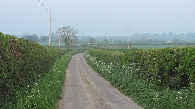
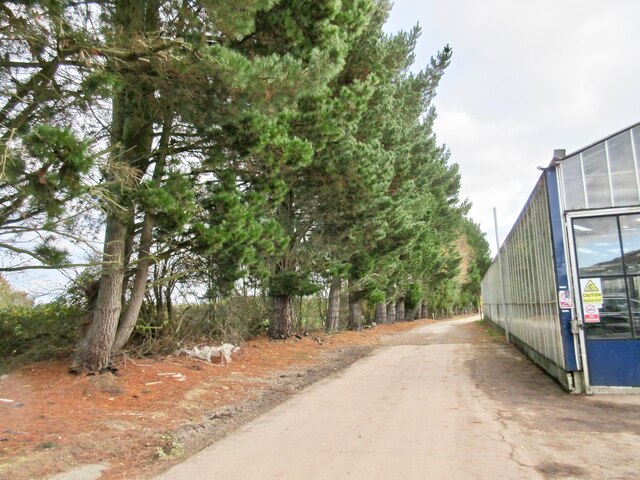
Ash is known for its charming rural setting, characterized by rolling hills, lush green fields, and quaint cottages. The village is surrounded by an abundance of natural beauty, with nearby woodlands and nature reserves providing ample opportunities for outdoor activities such as hiking and wildlife spotting.

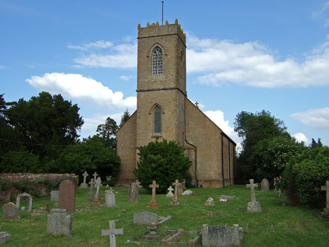
The heart of the village is centered around the historic parish church, St. Nicholas. Dating back to the 13th century, this Grade II listed building features stunning architecture and serves as a focal point for the community. The church hosts regular services and events, bringing together residents for worship and social gatherings.

Though small, Ash has a strong sense of community spirit. The village boasts a primary school, which plays a vital role in the education of local children. Additionally, there is a village hall, which serves as a hub for various activities and events, including meetings, clubs, and celebrations.

While Ash may be tranquil and idyllic, it offers convenient access to nearby amenities. The town of Yeovil is just a short drive away, providing residents with a range of shops, supermarkets, restaurants, and leisure facilities.

In summary, Ash, Somerset is a charming village that offers residents and visitors a peaceful rural lifestyle in a stunning natural setting. With its strong community ties and proximity to amenities, it is an attractive place to call home.

If you have any feedback on the listing, please let us know in the comments section below.
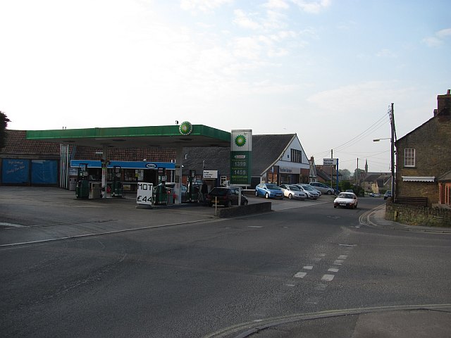
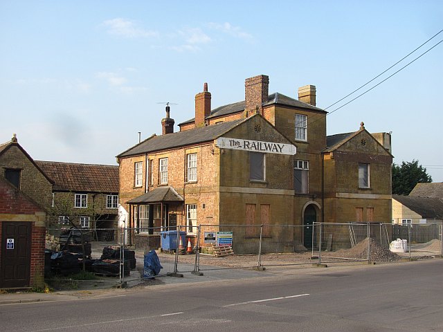
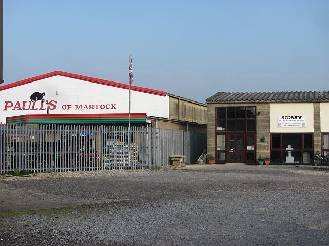
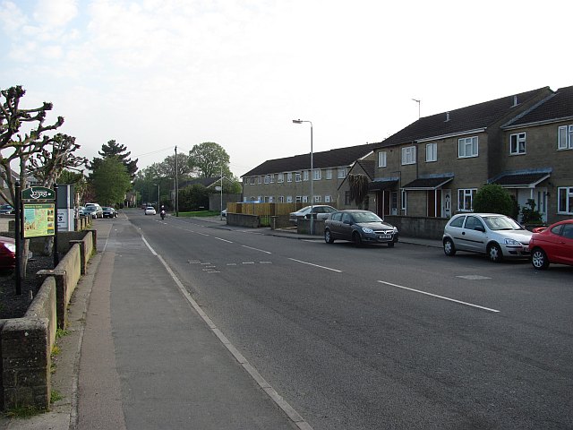
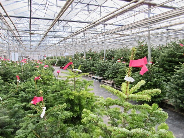
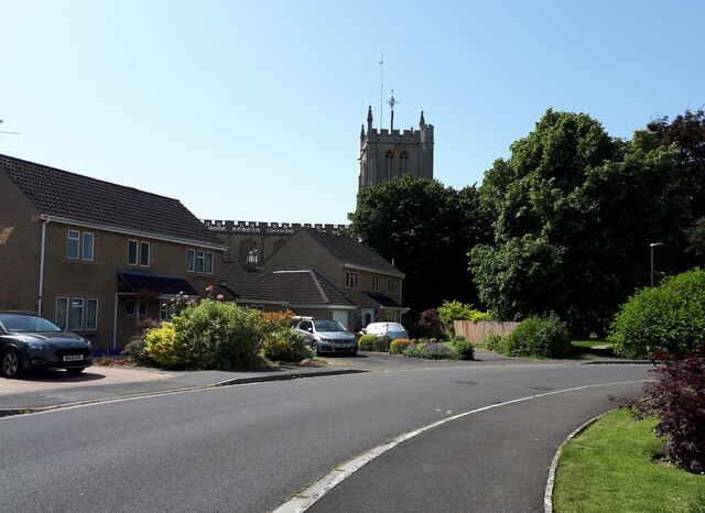
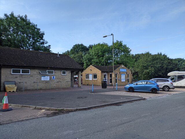
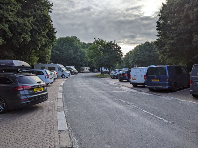
Ash Images

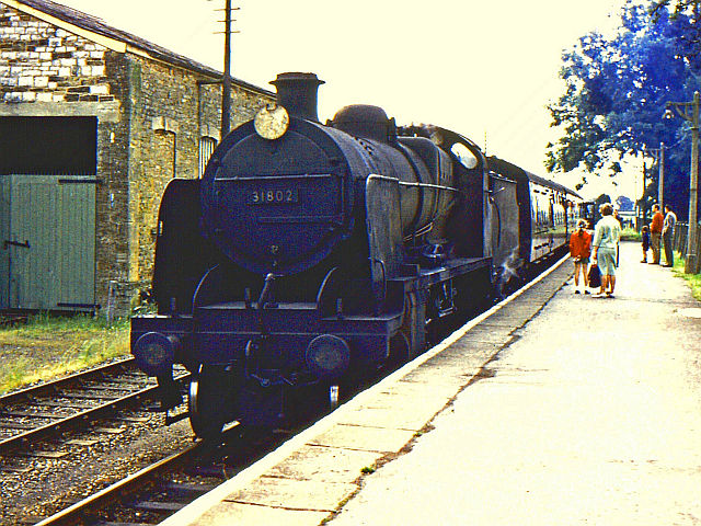
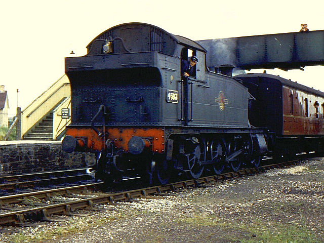
Images are sourced within 2km of 50.9828/-2.7499222 or Grid Reference ST4720. Thanks to Geograph Open Source API. All images are credited.

Town Tree Lane
Town Tree Lane
B3165 north of Stapleton (aka Long Load Road)
Garage, Stapleton Road £1.46/l for diesel. April 2011.
Garage, Stapleton Road
£1.46/l for diesel. April 2011.
The Railway Public house undergoing renovation, it is situated opposite the site of Martock railway station.
The Railway
Public house undergoing renovation, it is situated opposite the site of Martock railway station.
Retail sheds, Martock On the site of Martock's railway station.
Retail sheds, Martock
On the site of Martock's railway station.
Stapleton Road B3165 leaves Martock.
Stapleton Road
B3165 leaves Martock.
Farmland, Stapleton There is a gas pipeline marker in the hedge.
Farmland, Stapleton
There is a gas pipeline marker in the hedge.
Town Tree Lane No through road, heading down to the moors.
Town Tree Lane
No through road, heading down to the moors.
Martock railway station - the last day Martock railway station on the last day of operation. A train for Yeovil arrives, hauled by a former Southern Railway 2-6-0 locomotive.
Martock railway station - the last day
Martock railway station on the last day of operation. A train for Yeovil arrives, hauled by a former Southern Railway 2-6-0 locomotive.
Yeovil train at Martock on the last day Martock station on the last day of the Yeovil Town - Durston line. A train for Yeovil awaits departure.
Yeovil train at Martock on the last day
Martock station on the last day of the Yeovil Town - Durston line. A train for Yeovil awaits departure.
Mayne Lane Nursery and Yeovil Christmas Tree Farm Looking down the track towards the road from the nursery buildings.  The nursery is very easy to get to from the A303.
Mayne Lane Nursery and Yeovil Christmas Tree Farm
Looking down the track towards the road from the nursery buildings. The nursery is very easy to get to from the A303.
Christmas trees galore! At this time of year Mayne Lane Nursery and Yeovil Christmas Tree Farm is full of trees.  There are loads to choose from of all sizes, a few are potted and the rest are cut.
Christmas trees galore!
At this time of year Mayne Lane Nursery and Yeovil Christmas Tree Farm is full of trees. There are loads to choose from of all sizes, a few are potted and the rest are cut.
All Saints' Church from Church Close
Buildings and parking at Cartgate picnic area on the A303
Parking at Cartgate picnic area
Cartgate Lodge café, A303, Yeovil
Artwork, Cartgate Lodge café, A303, Yeovil
Show me another place!

Ash is located at Grid Ref: ST4720 (Lat: 50.9828, Lng: -2.7499222)

Administrative County: Somerset

District: South Somerset

Police Authority: Avon and Somerset

What 3 Words

///heightens.roadways.kicks. Near Martock, Somerset

Nearby Locations

Ash Ash Millennium Wood

Related Wikis

Ash, South Somerset

Ash is a village and parish in Somerset, England, situated 1 mile (1.6 km) from Martock and 6 miles (9.7 km) north-west of Yeovil. The parish has a population...

Martock

Martock is a large village and civil parish in Somerset, England, situated on the edge of the Somerset Levels 7 miles (11.3 km) north west of Yeovil in...

Market House, Martock

The Market House, also known as Martock Town Hall, is a municipal building in Church Street in Martock, Somerset, England. The building, which is the meeting...

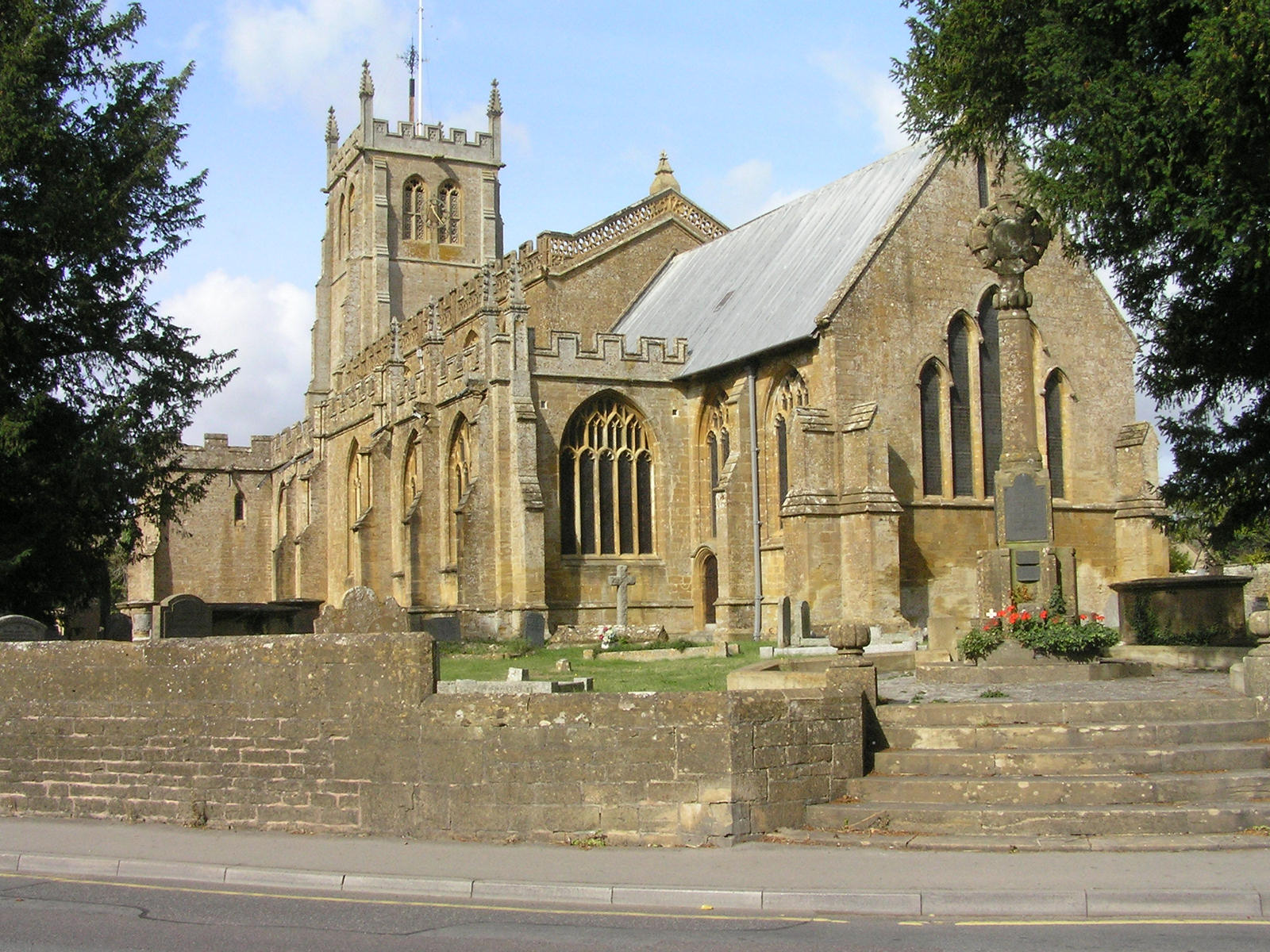
Church of All Saints, Martock

The Church of All Saints in Martock, Somerset, England dates from the 13th century and has been designated as a Grade I listed building.The church was...

Treasurer's House, Martock

The Treasurer's House is a National Trust-owned property in Martock, in the English county of Somerset. It has been designated as a Grade I listed building...

Church of St Margaret, Tintinhull

The Church of St Margaret in Tintinhull, Somerset, England, dates from the 13th century and has been designated as a Grade I listed building.There was...

Tintinhull Court

Tintinhull Court in Tintinhull, Somerset, England, was built as a medieval parsonage for the Church of St Margaret. It has been designated as a Grade I...

Tintinhull

Tintinhull is a village and civil parish near Yeovil, 2.5 miles (4 km) south west of Ilchester, in Somerset, England. The village is close to the A303...

Nearby Amenities

Located within 500m of 50.9828,-2.7499222
Post Box
Operator: Royal Mail
Operator Wikidata: Q638098
Post Box Type: wall
Ref: TA12 55D
Royal Cypher: EIIR
Royal Cypher Wikidata: Q33102113
Lat/Long: 50.9808098/-2.7435145
Restaurant
Ash House
Tourism: hotel
Wikidata: Q26309108
Lat/Long: 50.9821707/-2.7476744
Pub
The Bell Inn
Addr City: Martock
Addr Country: GB
Addr County: Somerset
Addr Housenumber: 3
Addr Postcode: TA12 6NS
Addr Street: Main Street
Addr Village: Ash
Email: thebellinnash@aol.co.uk
Fhrs Id: 75171
Opening Hours: Mo-Th 12:00-23:00; Fr-Sa 12:00-00:00; Su 12:00-22:00
Website: http://www.thebellinnash.co.uk
Lat/Long: 50.983398/-2.7512576
Ash
Place: village
Source: NPE
Lat/Long: 50.9827424/-2.7501406
Leisure: playground
Lat/Long: 50.9807883/-2.7462038
Post Office
Ash Post Office
Addr City: Martock
Addr Country: GB
Addr County: Somerset
Addr Housename: Pavilion Hall
Addr Postcode: TA12 6NS
Addr Street: Main Street
Addr Village: Ash
Brand: Post Office
Brand Wikidata: Q1783168
Brand Wikipedia: en:Post Office Ltd
Opening Hours: Tu,Fr 13:00-16:00; We 09:00-12:00
Operator: Post Office Ltd
Ref Pol Id: 115991
Lat/Long: 50.9835448/-2.7516684
Post Box
Operator: Royal Mail
Operator Wikidata: Q638098
Post Box Type: lamp
Ref: TA12 113
Royal Cypher: EIIR
Royal Cypher Wikidata: Q33102113
Lat/Long: 50.9829228/-2.7499683
Public Bookcase
Booth: K6
Colour: red
Covered: booth
Disused Amenity: telephone
Man Made: telephone_box
Public Bookcase Type: phone_box
Lat/Long: 50.9828212/-2.7500278
Power: pole
Source: bing
Lat/Long: 50.9809471/-2.7510747
Power: pole
Source: bing
Transformer: distribution
Lat/Long: 50.9788278/-2.7516152
Power: pole
Source: bing
Lat/Long: 50.9794492/-2.7510318
Power: pole
Source: bing
Lat/Long: 50.9800268/-2.7504873
Power: pole
Source: bing
Lat/Long: 50.9799449/-2.7464654
Power: pole
Source: bing
Lat/Long: 50.9798343/-2.7449566
Power: pole
Source: bing
Lat/Long: 50.9806246/-2.7499509
Power: pole
Source: bing
Lat/Long: 50.980172/-2.7479902
Power: pole
Source: bing
Transformer: distribution
Lat/Long: 50.9828848/-2.7506402
Power: pole
Source: bing
Lat/Long: 50.9820523/-2.7514489
Power: pole
Source: bing
Lat/Long: 50.9818624/-2.7516246
Power: pole
Source: bing
Lat/Long: 50.981333/-2.7508843
Power: pole
Source: bing
Lat/Long: 50.9813642/-2.7520846
Power: pole
Source: bing
Lat/Long: 50.9815027/-2.7533358
Power: pole
Source: bing
Lat/Long: 50.9814486/-2.7544731
Power: pole
Source: bing
Lat/Long: 50.9814132/-2.7556184
The data included in this document is from www.openstreetmap.org. The data is made available under ODbL.

Have you been to Ash?

Leave your review of Ash below (or comments, questions and feedback).