New Plantation

Wood, Forest in Leicestershire North West Leicestershire

England

New Plantation

The River Trent near Weston-on-Trent Seen from the Trent & Mersey canal, which runs much closer to the village than the river does.
The River Trent near Weston-on-Trent Credit: Christine Johnstone

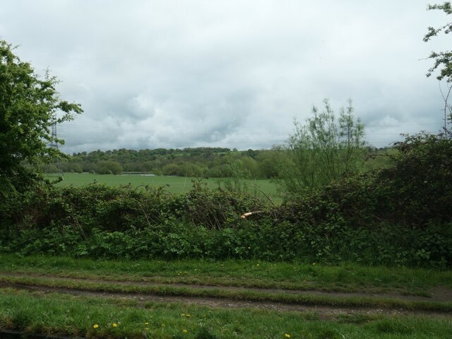
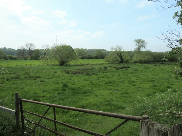
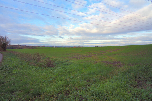
New Plantation, located in Leicestershire, is a beautiful woodland area known for its serene and picturesque surroundings. Situated in the heart of Leicestershire, this plantation covers a vast expanse of land, offering visitors a refreshing escape from the hustle and bustle of city life.

The woodland is primarily composed of a variety of tree species, including oak, birch, and beech. The dense canopy provides a haven for wildlife, making it a popular spot for nature enthusiasts and birdwatchers. Visitors can often spot a wide range of bird species, such as woodpeckers, owls, and various songbirds.

The plantation also features well-maintained trails that wind through the forest, allowing visitors to explore and appreciate the natural beauty of the area. These paths are perfect for leisurely walks, jogging, or cycling. Along the trails, visitors might encounter enchanting flora, from bluebells and wildflowers to ferns and mosses.

New Plantation offers a peaceful and tranquil environment, making it an ideal location for those seeking relaxation and a connection with nature. Families and children can enjoy picnics in designated areas, while nature lovers can immerse themselves in the serene ambiance. The plantation is accessible year-round, with each season offering its own unique charm. In autumn, the woodland is transformed into a vibrant display of colors, while winter brings a serene and magical atmosphere.

In summary, New Plantation in Leicestershire is a captivating woodland retreat that provides a sanctuary for both wildlife and visitors alike. With its diverse flora and fauna, well-maintained trails, and serene ambiance, it is a must-visit destination for anyone seeking solace in nature.

If you have any feedback on the listing, please let us know in the comments section below.

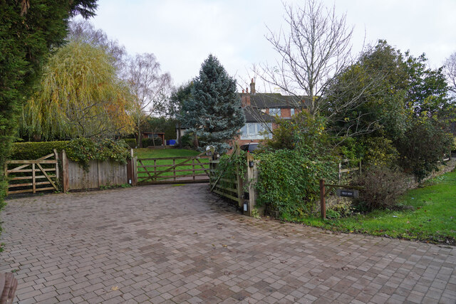
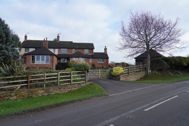
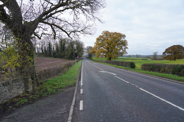
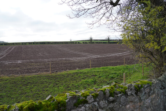
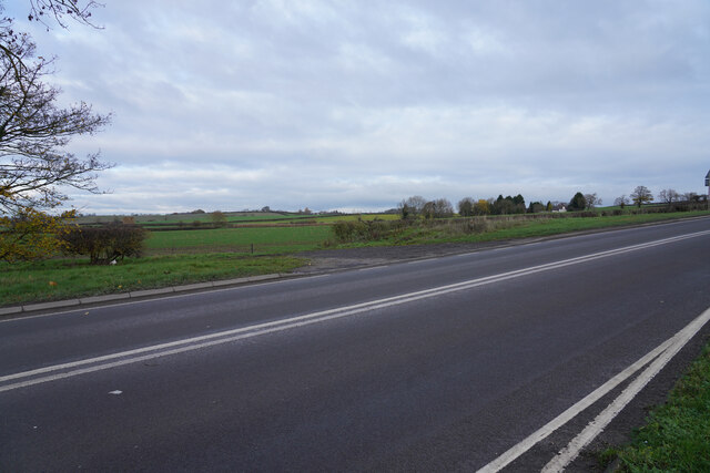
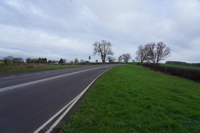
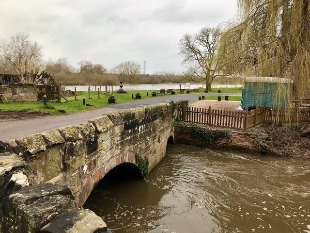
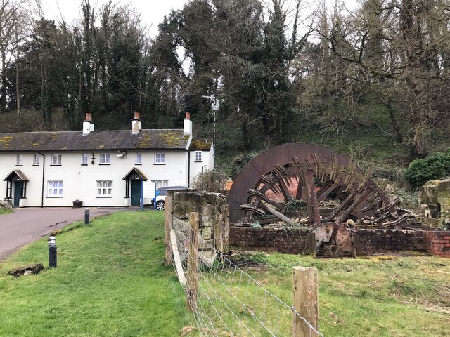
New Plantation Images

Images are sourced within 2km of 52.828734/-1.3883274 or Grid Reference SK4125. Thanks to Geograph Open Source API. All images are credited.

The River Trent near Weston-on-Trent Seen from the Trent & Mersey canal, which runs much closer to the village than the river does.
The River Trent near Weston-on-Trent
Seen from the Trent & Mersey canal, which runs much closer to the village than the river does.
Paddocks, Weston-on-Trent On the north bank of the Trent & Mersey canal.
Paddocks, Weston-on-Trent
On the north bank of the Trent & Mersey canal.
Water point, Weston Lock, Trent & Mersey canal Where you can fill a boat's water tank.
Water point, Weston Lock, Trent & Mersey canal
Where you can fill a boat's water tank.
Willows along a drain, west of King's Mills Lane The flat and floodable floor of the Trent valley.
Willows along a drain, west of King's Mills Lane
The flat and floodable floor of the Trent valley.
Bridge 9 on the Trent and Mersey Canal Known as Scotch Bridge. Grade II listed. Listing number 1205892. Canal bridge. 1770 by engineer James Brindley with minor later repairs.
Bridge 9 on the Trent and Mersey Canal
Known as Scotch Bridge. Grade II listed. Listing number 1205892. Canal bridge. 1770 by engineer James Brindley with minor later repairs.
Just below the power lines Looking across what appears to be winter wheat from the road below the power lines.
Just below the power lines
Looking across what appears to be winter wheat from the road below the power lines.
A house by the road A well paved entrance to the house.
A house by the road
A well paved entrance to the house.
A countryside house A house by the side of the Melbourne Road.
A countryside house
A house by the side of the Melbourne Road.
Close to Manor Farm Looking along Moor Lane close to Manor Farm.
Close to Manor Farm
Looking along Moor Lane close to Manor Farm.
A prepared field Nothing growing as yet in this ploughed and prepared field.
A prepared field
Nothing growing as yet in this ploughed and prepared field.
Lush green fields in the distance Looking across the A453 Moor Lane to fields with what might be a winter planted cereal crop.
Lush green fields in the distance
Looking across the A453 Moor Lane to fields with what might be a winter planted cereal crop.
Moor Lane Looking along the A453 Moor Lane on a fairly dull morning.
Moor Lane
Looking along the A453 Moor Lane on a fairly dull morning.
Trent & Mersey Canal by Weston-on-Trent
The bridge over the mill stream At King's Mills.  The main body of the River Trent in the background.

The bridge has a Grade II living List Entry Number:1361349 <span class="nowrap"><a title="https://historicengland.org.uk/listing/the-list/list-entry/1361349?section=official-list-entry" rel="nofollow ugc noopener" href="https://historicengland.org.uk/listing/the-list/list-entry/1361349?section=official-list-entry">Link</a><img style="margin-left:2px;" alt="External link" title="External link - shift click to open in new window" src="https://s1.geograph.org.uk/img/external.png" width="10" height="10"/></span>
The bridge over the mill stream
At King's Mills. The main body of the River Trent in the background. The bridge has a Grade II living List Entry Number:1361349 LinkExternal link
Mill Wheel and cottages at King's Mills The cottages are rooms of the Priest House Hotel.
Both are Grade II listed:

The wheel List Entry Number:1361338 <span class="nowrap"><a title="https://historicengland.org.uk/listing/the-list/list-entry/1361338?section=official-list-entry" rel="nofollow ugc noopener" href="https://historicengland.org.uk/listing/the-list/list-entry/1361338?section=official-list-entry">Link</a><img style="margin-left:2px;" alt="External link" title="External link - shift click to open in new window" src="https://s1.geograph.org.uk/img/external.png" width="10" height="10"/></span>

Cottages List Entry Number:1347805 <span class="nowrap"><a title="https://historicengland.org.uk/listing/the-list/list-entry/1347805?section=official-list-entry" rel="nofollow ugc noopener" href="https://historicengland.org.uk/listing/the-list/list-entry/1347805?section=official-list-entry">Link</a><img style="margin-left:2px;" alt="External link" title="External link - shift click to open in new window" src="https://s1.geograph.org.uk/img/external.png" width="10" height="10"/></span>
Mill Wheel and cottages at King's Mills
The cottages are rooms of the Priest House Hotel. Both are Grade II listed: The wheel List Entry Number:1361338 LinkExternal link Cottages List Entry Number:1347805 LinkExternal link
Pitlane at Donington Park circuit During a round of the British Touring Car Championship
Pitlane at Donington Park circuit
During a round of the British Touring Car Championship
Damaged touring car at Donington Park Daniel Rowbottom's car hit a tyre stack and this is the result.
Damaged touring car at Donington Park
Daniel Rowbottom's car hit a tyre stack and this is the result.
Total petrol station at Donington Park
Show me another place!

New Plantation is located at Grid Ref: SK4125 (Lat: 52.828734, Lng: -1.3883274)

Administrative County: Leicestershire

District: North West Leicestershire

Police Authority: Leicestershire

What 3 Words

///skirting.lowest.brothers. Near Melbourne, Derbyshire

Related Wikis

Donington Park

Donington Park is a motorsport circuit located near Castle Donington in Leicestershire, England. The circuit business is now owned by Jonathan Palmer's...

Download Festival

Download Festival is a rock festival created by Terrance Gough, held annually at the Donington Park motorsport circuit in Leicestershire, England (since...

Donington Park SSSI

Donington Park is a 32.9-hectare (81-acre) biological Site of Special Scientific Interest west of Castle Donington in Leicestershire. It is separate from...

Wilson railway station

Wilson railway station was a short-lived station at Wilson, Leicestershire, England. == History == It was opened on 1 October 1869 by the Midland Railway...

Nearby Amenities

Located within 500m of 52.828734,-1.3883274
Donington Park Farmhouse Hotel
Addr City: Derby
Addr Postcode: DE74 2RN
Addr Street: Melbourne Road
Fhrs Id: 2229
Source Addr: website
Tourism: hotel
Website: https://parkfarmhouse.co.uk/
Lat/Long: 52.8252013/-1.3865947
Park Farmhouse Caravan Site
Tourism: caravan_site
Lat/Long: 52.8266794/-1.3855379
Bar
Pit Stop Cafe
Addr City: Derby
Addr Postcode: DE74 2RP
Lat/Long: 52.8288163/-1.3822797
Pit Stop Kiosk
Addr City: Derby
Addr Place: Donington Park
Addr Postcode: DE74 2RP
Addr Suburb: Castle Donington
Fhrs Id: 47370
Shop: convenience
Lat/Long: 52.8287822/-1.3829688
Restaurant
Pit Stop Cafe
Addr City: Derby
Addr Postcode: DE74 2RP
Lat/Long: 52.8288147/-1.3823548
Fixme: There's some sort of public access up the western edge of the Tarmac Lake. Also how does it connect to the SE, S and SW, depending on what events are on?
Lat/Long: 52.830235/-1.3877108
Donington Park
Tourism: attraction
Lat/Long: 52.8295721/-1.3814777
The data included in this document is from www.openstreetmap.org. The data is made available under ODbL.

Have you been to New Plantation?

Leave your review of New Plantation below (or comments, questions and feedback).