Starkey's Hill
Hill, Mountain in Leicestershire North West Leicestershire
England
Starkey's Hill
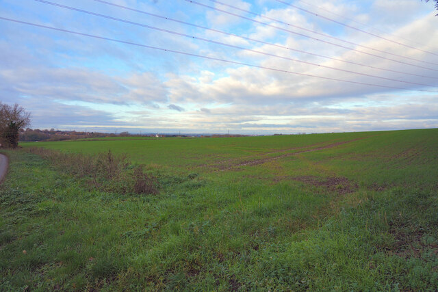
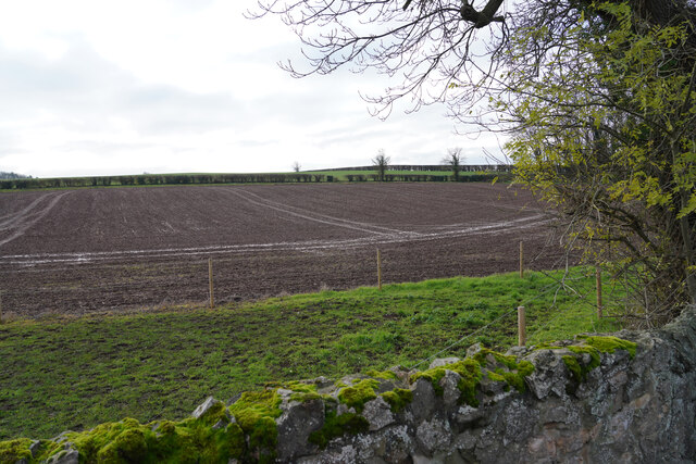
Starkey's Hill is a prominent geographical feature located in Leicestershire, England. Although referred to as a "hill," it is more accurately described as a gentle slope rather than a steep incline. Situated in the scenic countryside, Starkey's Hill is part of the rolling landscape that characterizes this region.
The hill spans approximately 1.5 kilometers in length, with an elevation of around 150 meters above sea level. It is composed of limestone and is covered in lush green grass, making it visually appealing and providing a perfect spot for picnics or leisurely walks. The gentle gradient of Starkey's Hill makes it easily accessible to visitors of all ages and fitness levels.
From the summit of Starkey's Hill, one can enjoy breathtaking panoramic views of the surrounding countryside, including the nearby villages and farmland. On clear days, it is even possible to catch glimpses of other landmarks, such as Bosworth Battlefield and the Fosse Way.
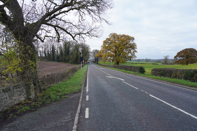
The hill is a popular destination for outdoor enthusiasts who enjoy activities like hiking, jogging, and dog walking. Additionally, it attracts nature lovers and birdwatchers, as it is home to a diverse range of flora and fauna. Wildflowers, butterflies, and small mammals can often be spotted along the hillside.
Starkey's Hill offers a peaceful and idyllic escape from the hustle and bustle of urban life. Its natural beauty, combined with its accessibility, makes it a favored location for locals and tourists alike. Whether admiring the view, engaging in outdoor activities, or simply enjoying the tranquility, Starkey's Hill provides a delightful experience for all who visit.
If you have any feedback on the listing, please let us know in the comments section below.
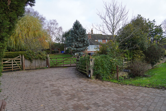
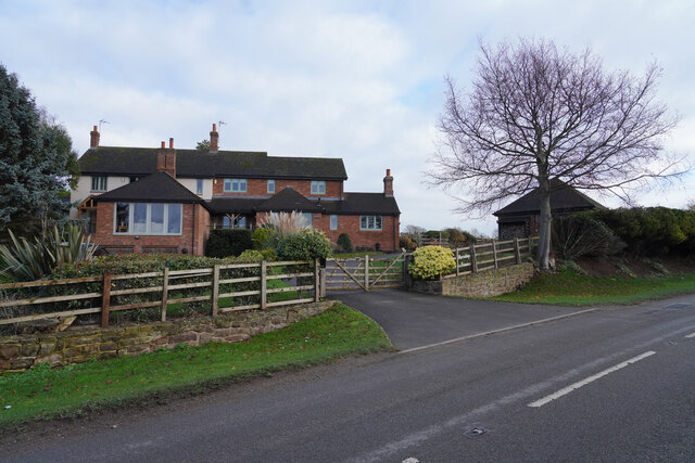
Starkey's Hill Images
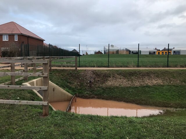
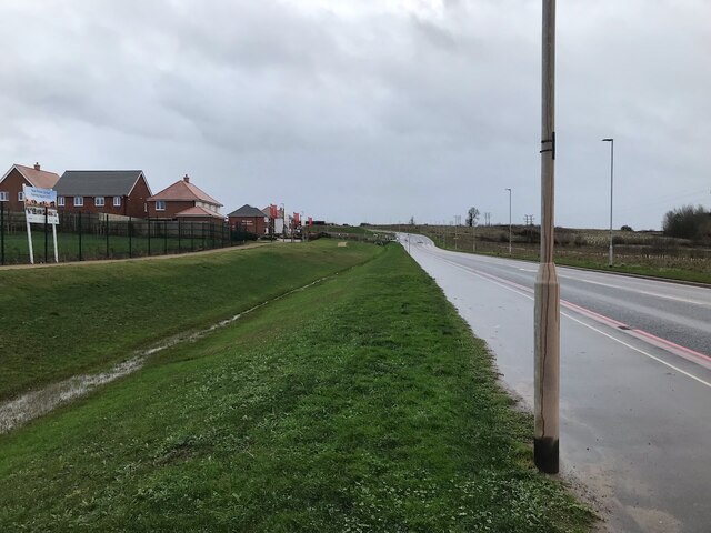
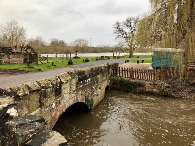
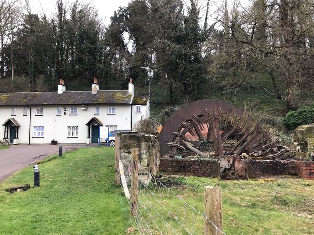
Images are sourced within 2km of 52.827922/-1.3790479 or Grid Reference SK4125. Thanks to Geograph Open Source API. All images are credited.


Starkey's Hill is located at Grid Ref: SK4125 (Lat: 52.827922, Lng: -1.3790479)
Administrative County: Leicestershire
District: North West Leicestershire
Police Authority: Leicestershire
What 3 Words
///blackouts.bricks.graver. Near Castle Donington, Leicestershire
Nearby Locations
Related Wikis

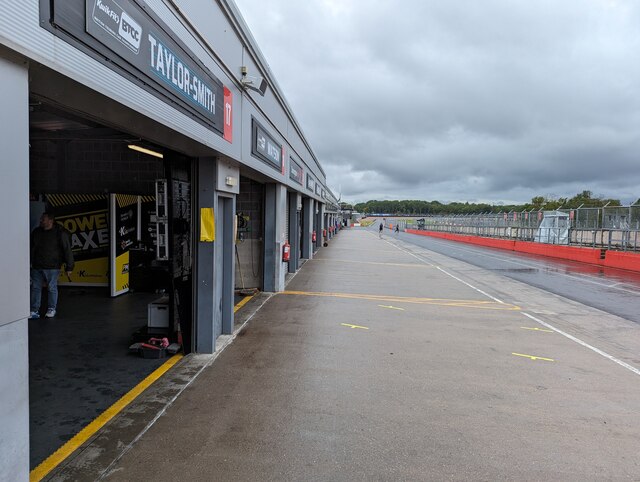
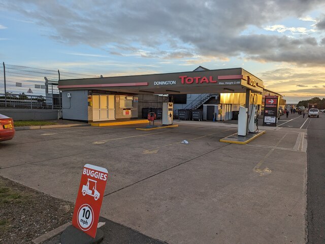
Donington Park
Donington Park is a motorsport circuit located near Castle Donington in Leicestershire, England. The circuit business is now owned by Jonathan Palmer's...

Download Festival
Download Festival is a rock festival created by Terrance Gough, held annually at the Donington Park motorsport circuit in Leicestershire, England (since...

Donington Grand Prix Collection
The Donington Grand Prix Collection, sometime known as the Donington Grand Prix Exhibition, was a museum of motor racing cars, based at the Donington Park...

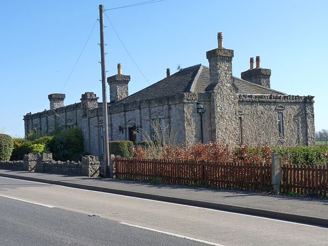
Donington Hall
Donington Hall is a mansion house set in parkland near Castle Donington village, North West Leicestershire. The Hall and Estate was purchased in April...
Nearby Amenities
Located within 500m of 52.827922,-1.3790479Have you been to Starkey's Hill?
Leave your review of Starkey's Hill below (or comments, questions and feedback).