Doctor's Wood
Wood, Forest in Yorkshire Harrogate
England
Doctor's Wood
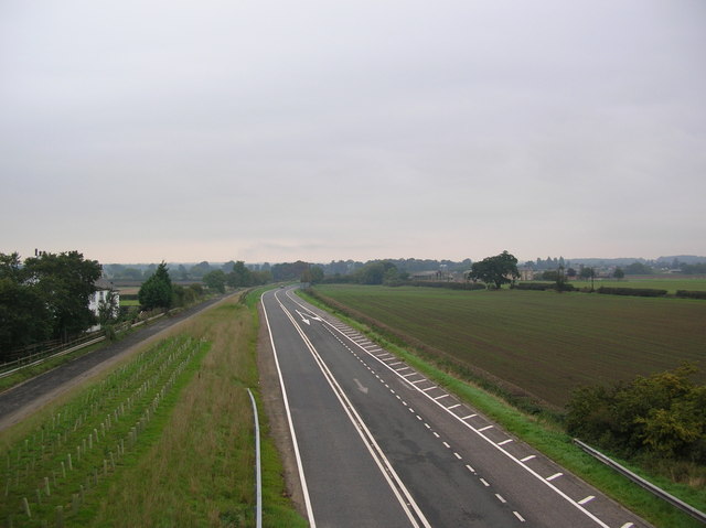
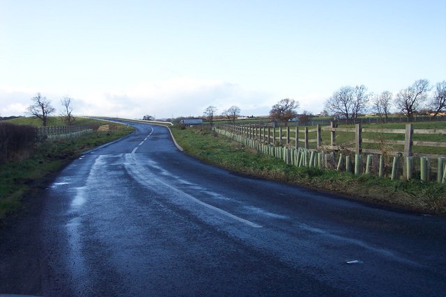
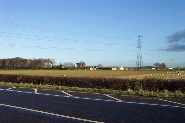
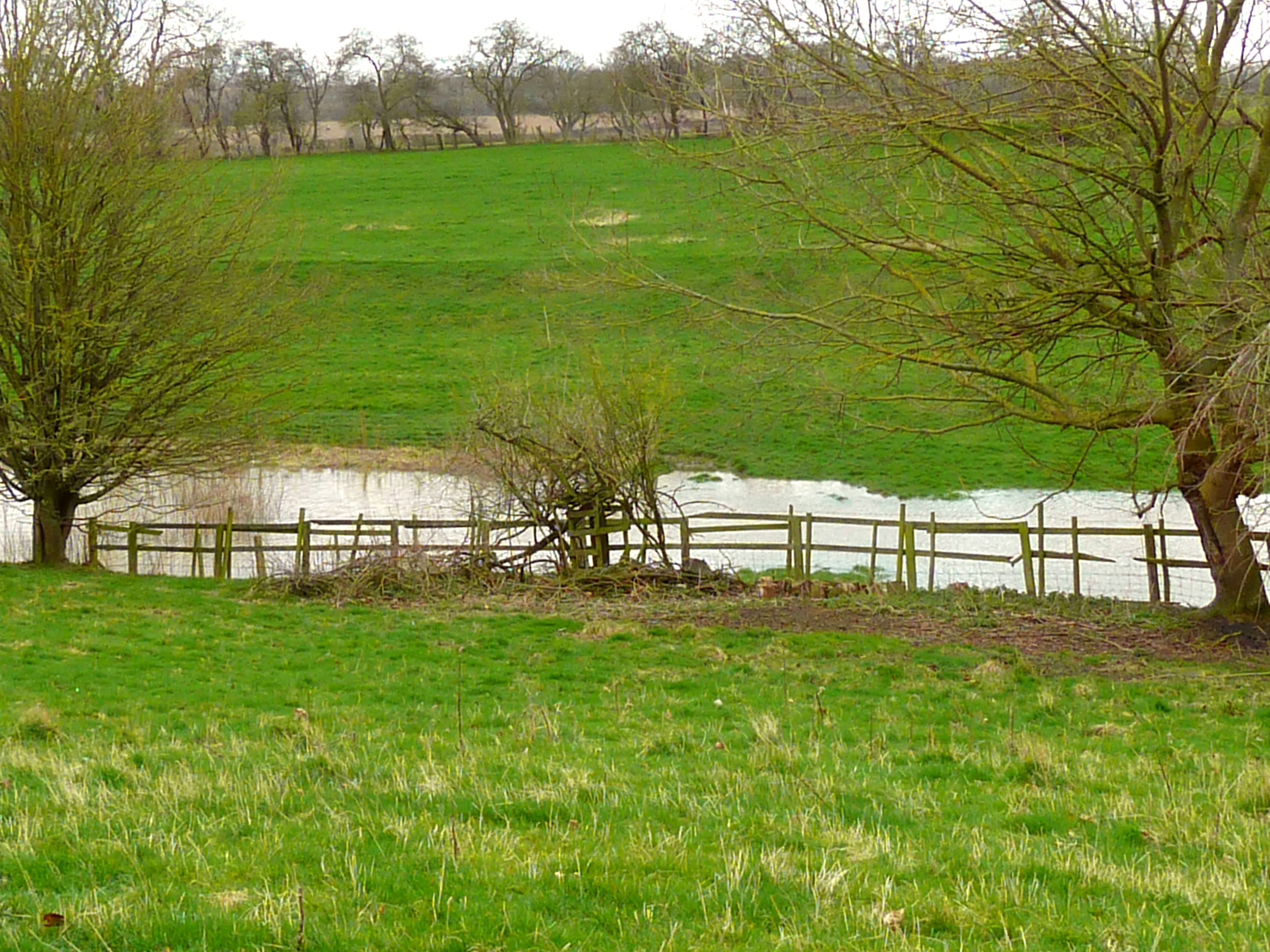
![Ox Close Farm Situated next to the old A1 [now A168], the road runs just behind the farm. This is taken from the Cowthorpe road which passes over the A168.](https://s0.geograph.org.uk/photos/24/90/249072_22b15957.jpg)
Doctor's Wood is a picturesque forest located in the county of Yorkshire, England. Covering an area of approximately 50 acres, it is nestled within the scenic landscape of the region, offering visitors a serene and tranquil environment to explore.
The woodland is named after its association with Doctor's Wood House, an 18th-century mansion that once stood nearby. Although the house is no longer in existence, the forest retains its name and continues to attract nature enthusiasts and hikers alike.
The woodland is predominantly composed of native tree species such as oak, beech, and birch, creating a diverse and vibrant ecosystem. The canopy of the trees provides ample shade, making it an ideal spot for a leisurely stroll on a sunny day. The forest floor is adorned with a variety of wildflowers, adding a burst of color to the landscape.
Several well-marked trails wind through the forest, allowing visitors to explore its beauty at their own pace. These paths cater to different levels of difficulty, accommodating both casual walkers and more experienced hikers. Along the way, nature enthusiasts may encounter an array of wildlife, including squirrels, rabbits, and various species of birds.
Doctor's Wood offers a peaceful retreat from the hustle and bustle of everyday life, providing a place for both relaxation and outdoor recreation. Whether one seeks a quiet spot for reflection or an opportunity to connect with nature, this charming woodland in Yorkshire has something to offer all who venture within its borders.
If you have any feedback on the listing, please let us know in the comments section below.
Doctor's Wood Images
Images are sourced within 2km of 53.95493/-1.3777324 or Grid Reference SE4051. Thanks to Geograph Open Source API. All images are credited.
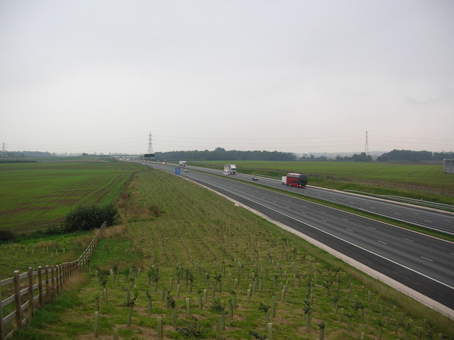
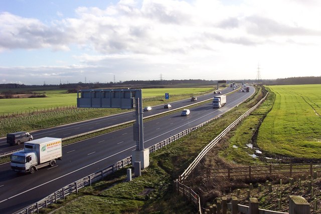
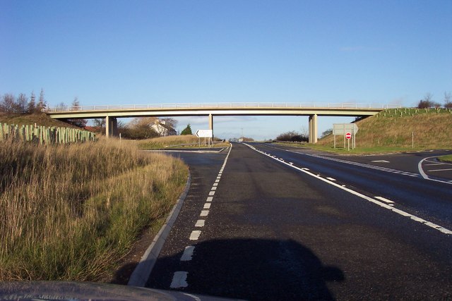

![New roundabout at Kirk Deighton A new [2006] roundabout and junction at Kirk Deighton on the line of the old A1 Wetherby by-pass, now by-passed in turn by the A1 motorway.](https://s0.geograph.org.uk/photos/35/13/351388_b9ab7239.jpg)


Doctor's Wood is located at Grid Ref: SE4051 (Lat: 53.95493, Lng: -1.3777324)
Division: West Riding
Administrative County: North Yorkshire
District: Harrogate
Police Authority: North Yorkshire
What 3 Words
///revives.establish.shudders. Near Wetherby, West Yorkshire
Nearby Locations
Related Wikis
Ingmanthorpe, North Yorkshire
Ingmanthorpe is a hamlet close to the village of Kirk Deighton in North Yorkshire, England, the village is situated approximately 2 miles (3.2 km) north...
Wetherby services
Wetherby Services is a motorway service area north of Wetherby on the A1(M) motorway in northern England. It opened in September 2008, and the hotel (a...

All Saints' Church, Kirk Deighton
All Saints Church is an Anglican church in the parish of Spofforth and Kirk Deighton in North Yorkshire, England. The church dates from the 11th century...
Kirk Deighton
Kirk Deighton is a village and civil parish in the Harrogate district of North Yorkshire, England. It is situated north-west of Wetherby, to which it is...
Kirk Deighton SSSI
Kirk Deighton SSSI is a Site of Special Scientific Interest (SSSI) in Alton's Field, Kirk Deighton, North Yorkshire, England. This site has been recognised...

North Deighton
North Deighton is a village and civil parish in the Harrogate district of North Yorkshire, England. Until 1866, when it became its own parish, the village...
Crimple Beck
Crimple Beck or the River Crimple is a beck which flows through North Yorkshire, England. It is a tributary of the River Nidd which it joins between Little...

Ainsty, Wetherby
Ainsty is an area of Wetherby, West Yorkshire, England. Ainsty is in the north of Wetherby and runs as far as the border between North and West Yorkshire...
Nearby Amenities
Located within 500m of 53.95493,-1.3777324Have you been to Doctor's Wood?
Leave your review of Doctor's Wood below (or comments, questions and feedback).