Armytage Wood

Wood, Forest in Yorkshire Harrogate

England

Armytage Wood

The Bridge, Walshford hotel and restaurant, successor to the Walshford Bridge Inn, an old coaching inn on the Great North Road about 300 metres away from the bridge over the River Nidd. <span class="nowrap"><a title="http://www.walshford.co.uk/" rel="nofollow ugc noopener" href="http://www.walshford.co.uk/">Link</a><img style="margin-left:2px;" alt="External link" title="External link - shift click to open in new window" src="https://s1.geograph.org.uk/img/external.png" width="10" height="10"/></span>
The Bridge, Walshford Credit: Roger W Haworth

Armytage Wood is a picturesque woodland located in the county of Yorkshire, England. Situated near the village of Kirklees, the wood covers an area of approximately 50 acres. It is a part of the larger Kirklees Estate, which is managed by the National Trust.

The woodland is renowned for its diverse range of tree species, including oak, beech, and birch. These majestic trees create a dense canopy, providing a habitat for various bird species such as woodpeckers, thrushes, and owls. The forest floor is covered in a thick carpet of ferns, bluebells, and wildflowers, creating a vibrant and enchanting atmosphere.

The wood is intersected by a network of well-maintained walking trails, allowing visitors to explore its beauty at their own pace. These trails lead to charming clearings and secluded spots, perfect for picnics or simply enjoying the tranquility of nature. Additionally, there are several benches strategically placed throughout the wood, offering visitors a place to rest and take in the surroundings.

Armytage Wood is a popular destination for nature lovers, walkers, and families seeking a peaceful retreat. It provides opportunities for outdoor activities such as birdwatching, photography, and nature studies. The wood is easily accessible, with a car park located nearby and clear signage indicating the entrance.

Overall, Armytage Wood is a hidden gem in Yorkshire, offering a captivating woodland experience with its stunning trees, vibrant flora, and peaceful ambiance. It is a place where visitors can escape the hustle and bustle of everyday life and immerse themselves in the beauty of nature.

If you have any feedback on the listing, please let us know in the comments section below.

Armytage Wood Images

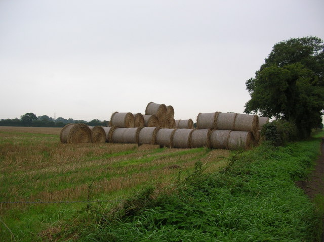
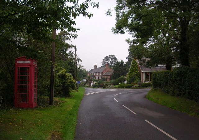
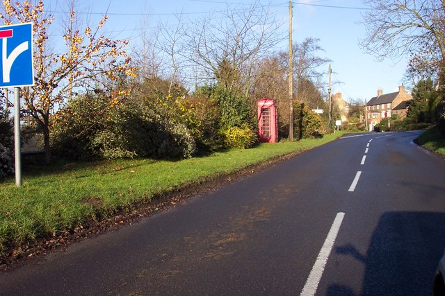
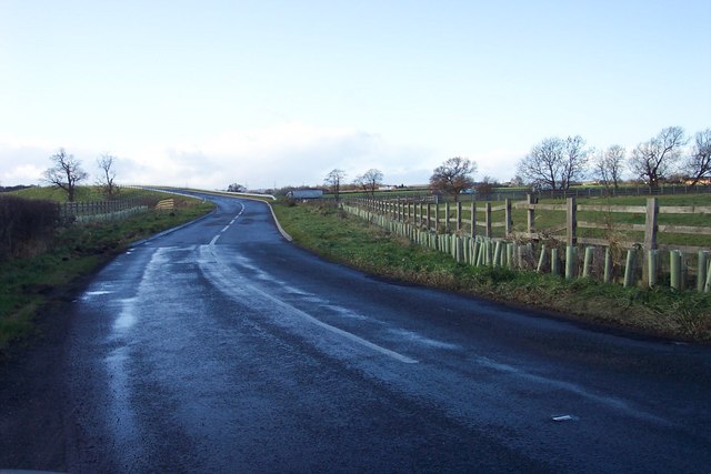
Images are sourced within 2km of 53.960524/-1.3783959 or Grid Reference SE4051. Thanks to Geograph Open Source API. All images are credited.
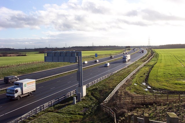
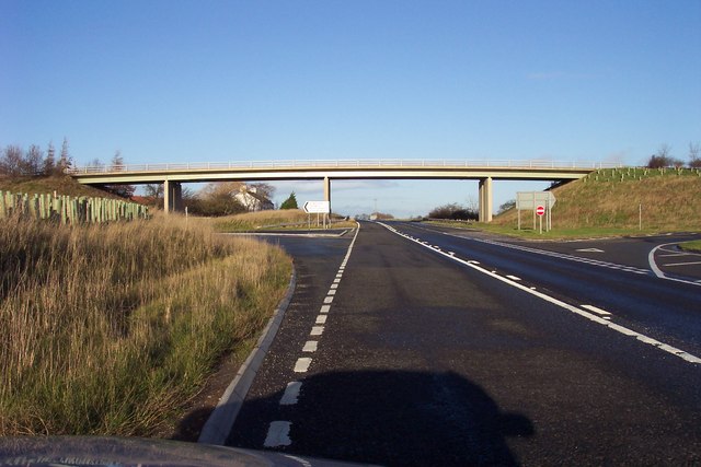
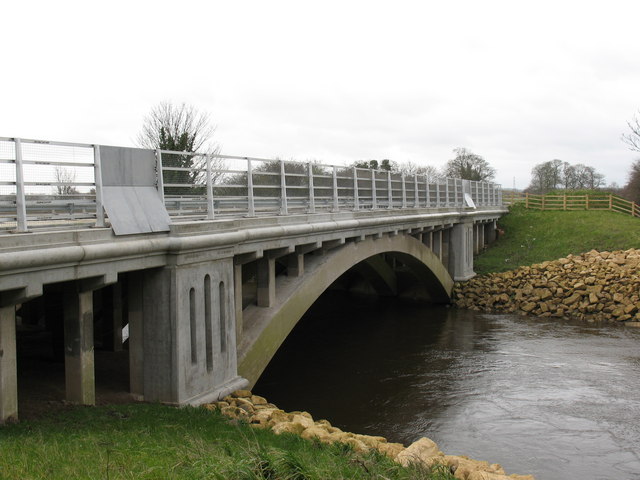
The Bridge, Walshford hotel and restaurant, successor to the Walshford Bridge Inn, an old coaching inn on the Great North Road about 300 metres away from the bridge over the River Nidd. <span class="nowrap"><a title="http://www.walshford.co.uk/" rel="nofollow ugc noopener" href="http://www.walshford.co.uk/">Link</a><img style="margin-left:2px;" alt="External link" title="External link - shift click to open in new window" src="https://s1.geograph.org.uk/img/external.png" width="10" height="10"/></span>
The Bridge, Walshford
hotel and restaurant, successor to the Walshford Bridge Inn, an old coaching inn on the Great North Road about 300 metres away from the bridge over the River Nidd. LinkExternal link
Ox Close Farm Situated next to the old A1 [now A168], the road runs just behind the farm. This is taken from the Cowthorpe road which passes over the A168.
Ox Close Farm
Situated next to the old A1 [now A168], the road runs just behind the farm. This is taken from the Cowthorpe road which passes over the A168.
The old A1 This confused me as my map was out of date. I stood here for a while wondering why the A1 was empty  before noticing the A1(M). This road is now called the A168.
The old A1
This confused me as my map was out of date. I stood here for a while wondering why the A1 was empty before noticing the A1(M). This road is now called the A168.
New bridge over the A1(M) Too new to be on any of my maps, the Cowthorpe road crosses over the A1(M).
New bridge over the A1(M)
Too new to be on any of my maps, the Cowthorpe road crosses over the A1(M).
New A1(M) This was not on my map! The newly built A1 looking south. From here it is a motorway for another mile before returning to A road classification. Taken from the bridge on the Cowthorpe road.
New A1(M)
This was not on my map! The newly built A1 looking south. From here it is a motorway for another mile before returning to A road classification. Taken from the bridge on the Cowthorpe road.
Bales next to the Cowthorpe road Bales of straw stacked up along the road from Cowthorpe to North Deighton. Not far beyond the horizon of this picture is a new section of the A1(M).
Bales next to the Cowthorpe road
Bales of straw stacked up along the road from Cowthorpe to North Deighton. Not far beyond the horizon of this picture is a new section of the A1(M).
Cowthorpe The village of Cowthorpe between York and Harrogate. The village now has the A1(M) running close by.
Cowthorpe
The village of Cowthorpe between York and Harrogate. The village now has the A1(M) running close by.
Phonebox in Cowthorpe
Wetherby Lane Approaching the bridge over the newly extended A1.
Wetherby Lane
Approaching the bridge over the newly extended A1.
Rushing north On the new section of the A1(M)
Rushing north
On the new section of the A1(M)
Rushing south On the A1(M), off the Loshpot Lane bridge.
Rushing south
On the A1(M), off the Loshpot Lane bridge.
Abandoned petrol station On what was the A1 Great North Road, now just the A168.
Abandoned petrol station
On what was the A1 Great North Road, now just the A168.
Across the fields to Deighton Grange Now sandwiched between the new and old A1
Across the fields to Deighton Grange
Now sandwiched between the new and old A1
Bridge over the old A1 The carriageway to the left has been removed but the bridge will always show the road's previous status.
Bridge over the old A1
The carriageway to the left has been removed but the bridge will always show the road's previous status.
Lodge at the entrance to Ribston Park, Walshford On the old Great North Road.
Lodge at the entrance to Ribston Park, Walshford
On the old Great North Road.
Black Stones Little Ribston used to be a farm in its own right but now provides storage for nearby Crook Farm. On the bridleway between Little Ribston and Ruddings Farm on the A1.
Black Stones Little Ribston
used to be a farm in its own right but now provides storage for nearby Crook Farm. On the bridleway between Little Ribston and Ruddings Farm on the A1.
River Nidd at Walshford Some 10 miles before its confluence with the Ouse, the Nidd passes Walshford and under the A168 & A1(M).
River Nidd at Walshford
Some 10 miles before its confluence with the Ouse, the Nidd passes Walshford and under the A168 & A1(M).
A168 bridge at Walshford This bridge is immediately south of the hamlet of Walshford, and carries the A168 over the River Nidd.
A168 bridge at Walshford
This bridge is immediately south of the hamlet of Walshford, and carries the A168 over the River Nidd.
Show me another place!

Armytage Wood is located at Grid Ref: SE4051 (Lat: 53.960524, Lng: -1.3783959)

Division: West Riding

Administrative County: North Yorkshire

District: Harrogate

Police Authority: North Yorkshire

What 3 Words

///lime.magazines.destroyer. Near Wetherby, West Yorkshire

Related Wikis

Ingmanthorpe, North Yorkshire

Ingmanthorpe is a hamlet close to the village of Kirk Deighton in North Yorkshire, England, the village is situated approximately 2 miles (3.2 km) north...

Crimple Beck

Crimple Beck or the River Crimple is a beck which flows through North Yorkshire, England. It is a tributary of the River Nidd which it joins between Little...

All Saints' Church, Kirk Deighton

All Saints Church is an Anglican church in the parish of Spofforth and Kirk Deighton in North Yorkshire, England. The church dates from the 11th century...

Wetherby services

Wetherby Services is a motorway service area north of Wetherby on the A1(M) motorway in northern England. It opened in September 2008, and the hotel (a...

Walshford

Walshford is a hamlet in the civil parish of Great Ribston with Walshford, in the Harrogate district, in the county of North Yorkshire, England. The hamlet...

Kirk Deighton

Kirk Deighton is a village and civil parish in the Harrogate district of North Yorkshire, England. It is situated north-west of Wetherby, to which it is...

North Deighton

North Deighton is a village and civil parish in the Harrogate district of North Yorkshire, England. Until 1866, when it became its own parish, the village...

Cowthorpe

Cowthorpe is a village in the civil parish of Tockwith, in North Yorkshire, England. It is situated 3 miles (4.8 km) north of Wetherby, 10 miles (16 km...

Nearby Amenities

Located within 500m of 53.960524,-1.3783959
Power: tower
Source: Bing
Lat/Long: 53.95839/-1.3795997
Power: tower
Source: Bing
Lat/Long: 53.9570959/-1.3743104
Power: tower
Source: Bing
Lat/Long: 53.9596777/-1.3848032
Barrier: cycle_barrier
Lat/Long: 53.9611419/-1.3817543
Barrier: cycle_barrier
Lat/Long: 53.9596986/-1.3824918
Barrier: cycle_barrier
Lat/Long: 53.9598457/-1.3824107
Man Made: tower
Lat/Long: 53.961101/-1.3786664
Barrier: cycle_barrier
Lat/Long: 53.9610015/-1.3818257
Man Made: tower
Lat/Long: 53.9613661/-1.3786986
The data included in this document is from www.openstreetmap.org. The data is made available under ODbL.

Have you been to Armytage Wood?

Leave your review of Armytage Wood below (or comments, questions and feedback).