Decoy Plantation
Wood, Forest in Yorkshire Harrogate
England
Decoy Plantation

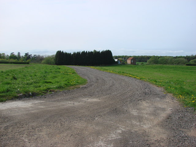
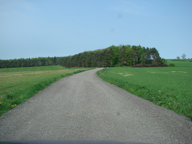
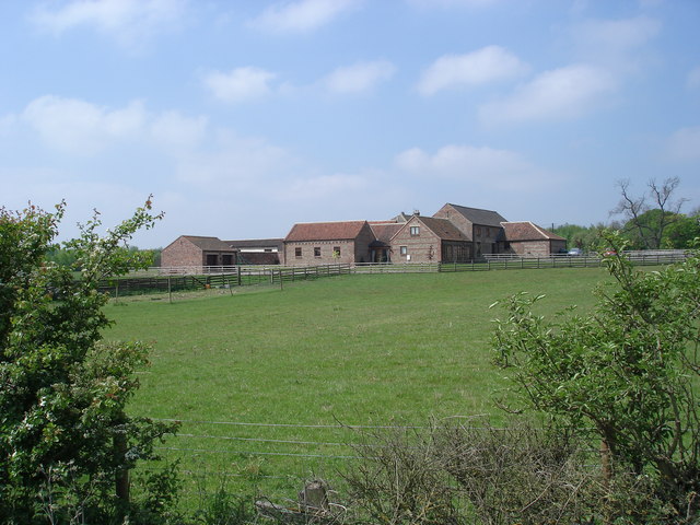
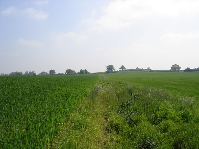
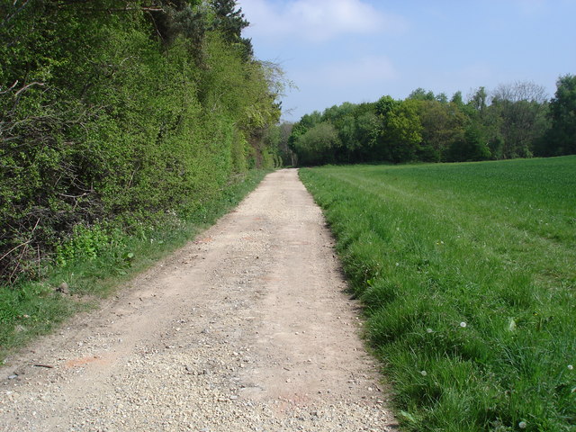
Decoy Plantation, located in Yorkshire, England, is a picturesque woodland area known for its rich biodiversity and scenic beauty. Spanning over a vast expanse of land, this forested paradise is a haven for nature enthusiasts and hikers alike.
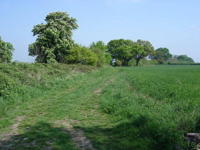
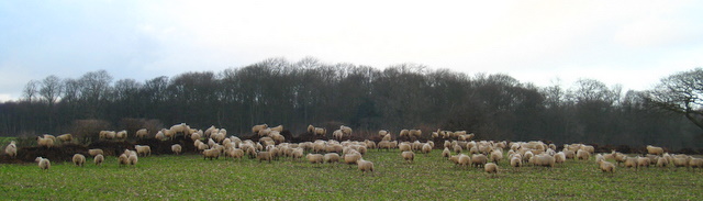
The plantation boasts a diverse range of tree species, including oak, beech, and birch, creating a lush and vibrant ecosystem. The dense canopy formed by these trees provides shelter to various wildlife species, making it a prime spot for birdwatchers and animal lovers. Visitors can often spot a variety of birds, such as woodpeckers, owls, and buzzards, as they explore the area's well-marked trails.
One of the notable features of Decoy Plantation is its tranquil atmosphere. Away from the hustle and bustle of urban life, this woodland retreat offers a peaceful respite for those seeking solitude and connection with nature. The air is filled with the soothing sounds of rustling leaves and chirping birds, creating a calming ambiance that rejuvenates the soul.
In addition to its natural beauty, Decoy Plantation also holds historical significance. The name "Decoy" stems from its past usage as a hunting ground, where trained dogs and decoy ducks were used to lure and capture wildfowl. While this practice has long ceased, remnants of the decoy infrastructure can still be seen, adding an intriguing historical element to the area.
Overall, Decoy Plantation in Yorkshire is a haven of tranquility and natural wonders. With its diverse flora and fauna, well-maintained trails, and rich history, it is a must-visit destination for anyone seeking an immersive woodland experience.
If you have any feedback on the listing, please let us know in the comments section below.
Decoy Plantation Images
Images are sourced within 2km of 54.026445/-1.3774442 or Grid Reference SE4059. Thanks to Geograph Open Source API. All images are credited.
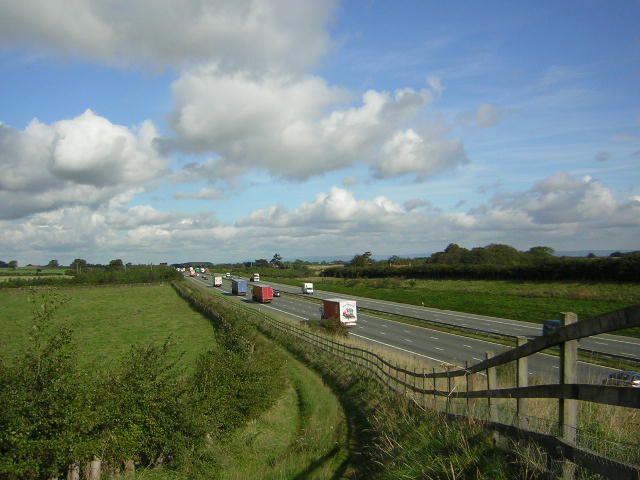
![A168 at Allerton Park The A168 runs parallel with the A1[M] at this point, using the south bound carriageway of the old A1. The wall to the right is the boundary of Allerton Park.](https://s2.geograph.org.uk/geophotos/01/06/31/1063142_0f4233fc.jpg)
Decoy Plantation is located at Grid Ref: SE4059 (Lat: 54.026445, Lng: -1.3774442)
Division: West Riding
Administrative County: North Yorkshire
District: Harrogate
Police Authority: North Yorkshire
What 3 Words
///sands.chops.ourselves. Near Knaresborough, North Yorkshire
Nearby Locations
Related Wikis

Allerton waste recovery park
Allerton waste recovery park is a waste recovery and incineration site located on a former quarry at Allerton Mauleverer, near Knaresborough, England....

Allerton Castle
Allerton Castle, also known as Allerton Park, is a Grade I listed nineteenth-century Gothic or Victorian Gothic house at Allerton Mauleverer in North Yorkshire...

Allerton Mauleverer Priory
Allerton Mauleverer Priory was a medieval monastic house in North Yorkshire, England. The site is in Allerton Mauleverer with Hopperton Parish in the Harrogate...

Allerton Mauleverer
Allerton Mauleverer is a village in North Yorkshire, England. It is part of the Allerton Mauleverer with Hopperton parish. The parish is in the district...
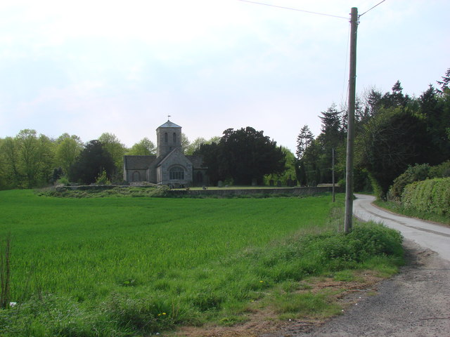
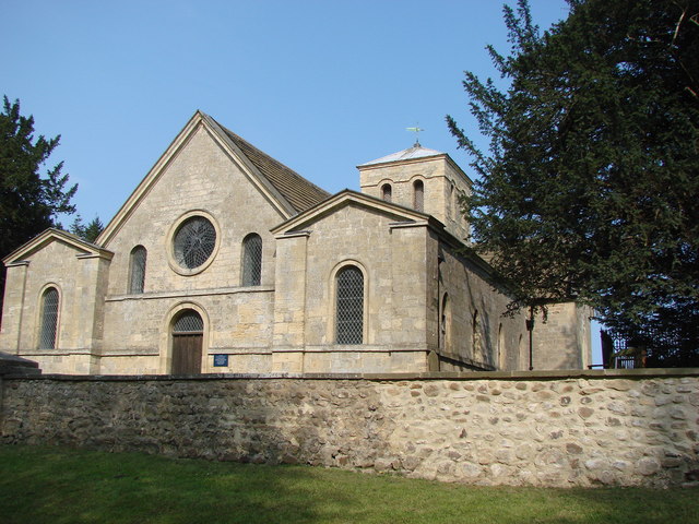
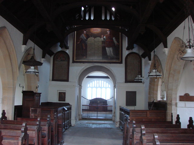
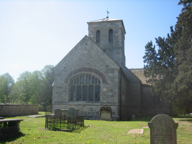
St Martin's Church, Allerton Mauleverer
St Martin's Church is a historic Anglican church in the village of Allerton Mauleverer, North Yorkshire, England. It is recorded in the National Heritage...

Flaxby
Flaxby is a village and civil parish in the Harrogate district of North Yorkshire, England. It is close to the A1(M) motorway and 2 miles (3.2 km) east...
Allerton Mauleverer with Hopperton
Allerton Mauleverer with Hopperton is a civil parish in North Yorkshire, England. At the 2011 Census, the parish had a population of 150, an increase from...

Claro Wapentake
Claro was a wapentake of the West Riding of Yorkshire, England. It was split into two divisions. The Upper Division included the parishes of Farnham...
Nearby Amenities
Located within 500m of 54.026445,-1.3774442Have you been to Decoy Plantation?
Leave your review of Decoy Plantation below (or comments, questions and feedback).