Claro Field

Downs, Moorland in Yorkshire Harrogate

England

Claro Field

The Temple, Allerton Park Taken from the A168
The Temple, Allerton Park Credit: Alison Stamp

Claro Field is a vast and picturesque landscape located in the heart of Yorkshire, England. Spread across the enchanting Yorkshire Downs and Moorland, this area is renowned for its natural beauty and rich biodiversity. Covering a vast expanse of approximately 500 acres, Claro Field is a haven for nature enthusiasts and outdoor adventurers.

The field is characterized by its rolling hills, lush green meadows, and dense woodlands, providing a diverse habitat for a wide range of wildlife species. Visitors to Claro Field can expect to encounter an array of flora and fauna including rare orchids, heather, and various species of birds, such as curlews and lapwings.

The striking landscape of Claro Field is further enhanced by the presence of babbling brooks and small streams that meander through the area, adding to its scenic charm. The field also boasts several walking trails that allow visitors to explore the natural wonders of the region at their own pace.

In addition to its natural beauty, Claro Field holds historical significance as well. The area is home to several archaeological sites, including ancient burial mounds and remnants of Roman settlements, providing a glimpse into the region's past.

Claro Field offers a tranquil escape from the hustle and bustle of everyday life, allowing visitors to connect with nature and immerse themselves in the stunning surroundings. Whether it's a leisurely walk, birdwatching, or simply enjoying a picnic amidst the breathtaking scenery, Claro Field is a must-visit destination for nature lovers and history enthusiasts alike.

If you have any feedback on the listing, please let us know in the comments section below.
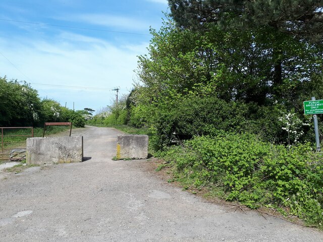
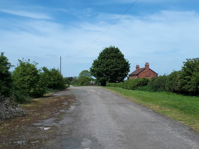
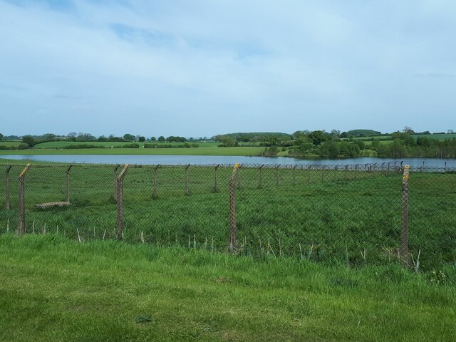
Claro Field Images

Images are sourced within 2km of 54.0309/-1.3893163 or Grid Reference SE4059. Thanks to Geograph Open Source API. All images are credited.
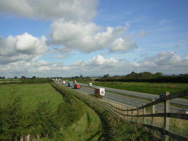
The Temple, Allerton Park Taken from the A168
The Temple, Allerton Park
Taken from the A168
A1M at Sand Hill Bridleway running parallel and to the west of the A1M between junctions 47 and 48
A1M at Sand Hill
Bridleway running parallel and to the west of the A1M between junctions 47 and 48
Walls Close House The very handsome Walls Close House Farm, bathed in the early May sunshine.
Walls Close House
The very handsome Walls Close House Farm, bathed in the early May sunshine.
The Temple The Temple Folly as viewed from the North Entrance to Allerton Park estate on the Great North Road, south of Boroughbridge.
The Temple
The Temple Folly as viewed from the North Entrance to Allerton Park estate on the Great North Road, south of Boroughbridge.
A168 at Allerton Park The A168 runs parallel with the A1[M] at this point, using the south bound carriageway of the old A1. The wall to the right is the boundary of Allerton Park.
A168 at Allerton Park
The A168 runs parallel with the A1[M] at this point, using the south bound carriageway of the old A1. The wall to the right is the boundary of Allerton Park.
Moor Lane The track runs for about 2 miles connecting two ancient routes: the Great North Road and the old Roman road of Rudgate.  It is therefore likely that this is itself an ancient thoroughfare, now classed as a public bridleway.
Moor Lane
The track runs for about 2 miles connecting two ancient routes: the Great North Road and the old Roman road of Rudgate. It is therefore likely that this is itself an ancient thoroughfare, now classed as a public bridleway.
Bridleway signpost This wooden post at a junction of two bridleways is marked (left) to "A1 0.7km".  Signs in kilometres are still rare in England: Bradford Council erected them widely in the 1980s, but I guess this dates from the 1970s.  The old Great North Road in this vicinity had already been bypassed in the 1960s by the A1, which later became the A168 when it was in turn replaced by the A1(M)
Bridleway signpost
This wooden post at a junction of two bridleways is marked (left) to "A1 0.7km". Signs in kilometres are still rare in England: Bradford Council erected them widely in the 1980s, but I guess this dates from the 1970s. The old Great North Road in this vicinity had already been bypassed in the 1960s by the A1, which later became the A168 when it was in turn replaced by the A1(M)
The old Great North Road beyond Claro House This is the old Great North Road which in this vicinity had already been bypassed in the 1960s by the A1, which later became the A168 when it was in turn replaced by the A1(M).  The sign saying "public bridleway only" is reinforced by concrete blocks.
The old Great North Road beyond Claro House
This is the old Great North Road which in this vicinity had already been bypassed in the 1960s by the A1, which later became the A168 when it was in turn replaced by the A1(M). The sign saying "public bridleway only" is reinforced by concrete blocks.
Phone box on the old Great North Road The old Great North Road in this vicinity had already been bypassed in the 1960s by the A1, which later became the A168 when it was in turn replaced by the A1(M).  Emergency phones like this have been superseded, other than on motorways, in the era of the mobile phone.  <a href="https://www.geograph.org.uk/photo/214244">SE4060 : Abandoned SOS Phone</a> shows a close look.
Phone box on the old Great North Road
The old Great North Road in this vicinity had already been bypassed in the 1960s by the A1, which later became the A168 when it was in turn replaced by the A1(M). Emergency phones like this have been superseded, other than on motorways, in the era of the mobile phone. SE4060 : Abandoned SOS Phone shows a close look.
Thornbar Farm The farm was adjacent to the old Great North Road which is now only a bridleway apart from farm access.
Thornbar Farm
The farm was adjacent to the old Great North Road which is now only a bridleway apart from farm access.
Lake east of Nineveh Farm This doesn't appear on maps of even 50 years ago.  I presume it's the result of either quarrying or mining subsidence since then.
Lake east of Nineveh Farm
This doesn't appear on maps of even 50 years ago. I presume it's the result of either quarrying or mining subsidence since then.
Field entrance, Moor Lane, Great Ouseburn According to the OS benchmark database there was a benchmark cut into a gatepost at this location on the north side of the track. Today there are no gateposts.
Field entrance, Moor Lane, Great Ouseburn
According to the OS benchmark database there was a benchmark cut into a gatepost at this location on the north side of the track. Today there are no gateposts.
Fence boundary to arable field, Moor Lane, Great Ouseburn According to the 1910 OS map there was a benchmark at this location on the north side of the Moor Lane track. Nothing was found.
Fence boundary to arable field, Moor Lane, Great Ouseburn
According to the 1910 OS map there was a benchmark at this location on the north side of the Moor Lane track. Nothing was found.
Moor Lane track, Great Ouseburn According to the 1910 OS map there was a benchmark at this location on the north side of the track. Nothing was found.
Moor Lane track, Great Ouseburn
According to the 1910 OS map there was a benchmark at this location on the north side of the track. Nothing was found.
Claro House, Coneythorpe on A168 According to the OS benchmark database there was a benchmark cut into the west facing wall of the building. Nothing was found.
Claro House, Coneythorpe on A168
According to the OS benchmark database there was a benchmark cut into the west facing wall of the building. Nothing was found.
Unruly field hedge on track between South Farm and Thornber Farm According to the 1910 OS map there was a benchmark at this location. Nothing was found.
Unruly field hedge on track between South Farm and Thornber Farm
According to the 1910 OS map there was a benchmark at this location. Nothing was found.
Outbuilding of Thornber Farm, Coneythorpe According to the OS benchmark database there is a benchmark cut into the west face of this brick built, one-storey outbuilding. There was no view from the roadside.
Outbuilding of Thornber Farm, Coneythorpe
According to the OS benchmark database there is a benchmark cut into the west face of this brick built, one-storey outbuilding. There was no view from the roadside.
Passing place in Shepherd's Wood The track is a bridleway between Claro House and Walls Close House.
Passing place in Shepherd's Wood
The track is a bridleway between Claro House and Walls Close House.
Show me another place!

Claro Field is located at Grid Ref: SE4059 (Lat: 54.0309, Lng: -1.3893163)

Division: West Riding

Administrative County: North Yorkshire

District: Harrogate

Police Authority: North Yorkshire

What 3 Words

///decisions.risks.conqueror. Near Knaresborough, North Yorkshire

Related Wikis

Allerton waste recovery park

Allerton waste recovery park is a waste recovery and incineration site located on a former quarry at Allerton Mauleverer, near Knaresborough, England....

Flaxby

Flaxby is a village and civil parish in the Harrogate district of North Yorkshire, England. It is close to the A1(M) motorway and 2 miles (3.2 km) east...

St Bartholomew's Church, Arkendale

St Bartholomew's Church is an Anglican church in Arkendale, a village in North Yorkshire, in England. A church in the village was first recorded in the...

Arkendale

Arkendale is a village and civil parish in the Harrogate district of North Yorkshire, England. It is 6 miles (10 km) north-east of Harrogate town, and...

Nearby Amenities

Located within 500m of 54.0309,-1.3893163
Phone
Check Date: 2023-12-31
Emergency: phone
Lat/Long: 54.0320024/-1.3852792
Phone
Check Date: 2023-12-31
Emergency: phone
Lat/Long: 54.0320062/-1.3846182
Power: pole
Lat/Long: 54.0345244/-1.3869574
Power: pole
Lat/Long: 54.0334864/-1.3867883
Power: pole
Lat/Long: 54.0326123/-1.3866308
Power: pole
Lat/Long: 54.031936/-1.3865048
Power: pole
Lat/Long: 54.0311152/-1.386059
Power: pole
Lat/Long: 54.0303332/-1.3856372
Power: pole
Lat/Long: 54.0294654/-1.3863364
Power: pole
Lat/Long: 54.0285747/-1.385762
Power: pole
Lat/Long: 54.0278337/-1.3853415
The data included in this document is from www.openstreetmap.org. The data is made available under ODbL.

Have you been to Claro Field?

Leave your review of Claro Field below (or comments, questions and feedback).