Tickering Hill
Hill, Mountain in Yorkshire Harrogate
England
Tickering Hill
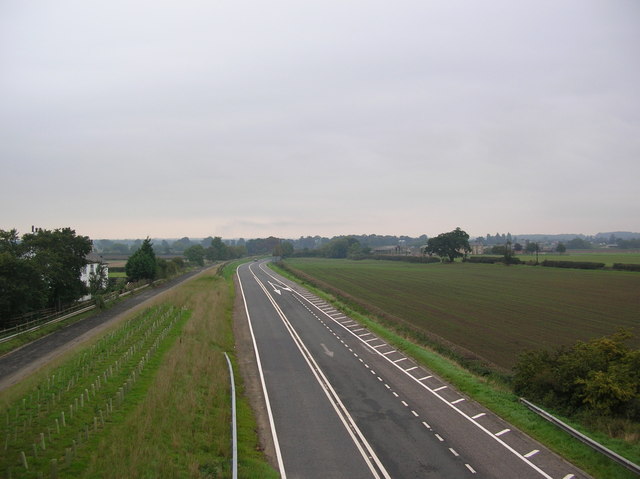
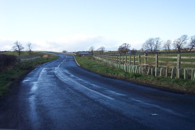
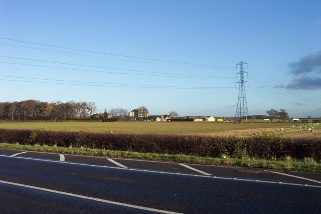
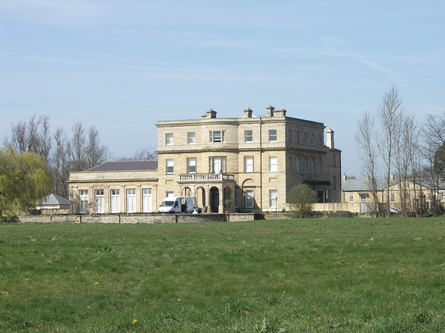
![Ox Close Farm Situated next to the old A1 [now A168], the road runs just behind the farm. This is taken from the Cowthorpe road which passes over the A168.](https://s0.geograph.org.uk/photos/24/90/249072_22b15957.jpg)
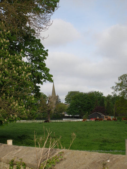
Tickering Hill is a prominent hill located in the county of Yorkshire, England. Situated near the village of Tickering, it forms part of the Yorkshire Wolds, a range of rolling hills and valleys that stretch across the region. With an elevation of approximately 150 meters, Tickering Hill offers commanding views of the surrounding countryside and is popular among outdoor enthusiasts and nature lovers.
The hill is characterized by its gently sloping terrain, covered in lush green grass and dotted with occasional patches of heather and wildflowers. Its shape is rounded and smooth, making it accessible to walkers and hikers of all abilities. The hill is crisscrossed by a network of footpaths and trails, providing ample opportunities for exploration and adventure.
Tickering Hill is home to a diverse range of flora and fauna. The hillside is often teeming with wildlife, including rabbits, hares, and various species of birds. The surrounding hedgerows and woodlands provide vital habitats for a variety of plant species, including bluebells and foxgloves, which paint the landscape with bursts of vibrant color during the spring and summer months.
In addition to its natural beauty, Tickering Hill also holds historical significance. The area is scattered with remnants of ancient settlements, including burial mounds and earthworks, providing a glimpse into its past. These archaeological features contribute to the hill's appeal and add a layer of intrigue for those interested in the region's history.
Overall, Tickering Hill in Yorkshire offers a picturesque and serene setting, inviting visitors to immerse themselves in the beauty of the countryside while enjoying its rich natural and historical heritage.
If you have any feedback on the listing, please let us know in the comments section below.
Tickering Hill Images
Images are sourced within 2km of 53.956118/-1.3904244 or Grid Reference SE4051. Thanks to Geograph Open Source API. All images are credited.
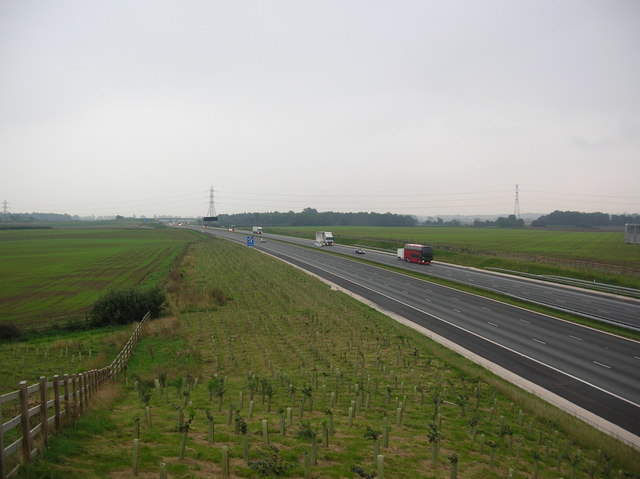
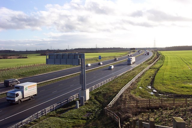
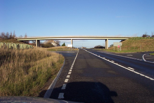
![New roundabout at Kirk Deighton A new [2006] roundabout and junction at Kirk Deighton on the line of the old A1 Wetherby by-pass, now by-passed in turn by the A1 motorway.](https://s0.geograph.org.uk/photos/35/13/351388_b9ab7239.jpg)


Tickering Hill is located at Grid Ref: SE4051 (Lat: 53.956118, Lng: -1.3904244)
Division: West Riding
Administrative County: North Yorkshire
District: Harrogate
Police Authority: North Yorkshire
What 3 Words
///exploring.winter.spell. Near Wetherby, West Yorkshire
Nearby Locations
Related Wikis

All Saints' Church, Kirk Deighton
All Saints Church is an Anglican church in the parish of Spofforth and Kirk Deighton in North Yorkshire, England. The church dates from the 11th century...
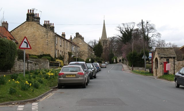
Kirk Deighton
Kirk Deighton is a village and civil parish in the Harrogate district of North Yorkshire, England. It is situated north-west of Wetherby, to which it is...

North Deighton
North Deighton is a village and civil parish in the Harrogate district of North Yorkshire, England. Until 1866, when it became its own parish, the village...
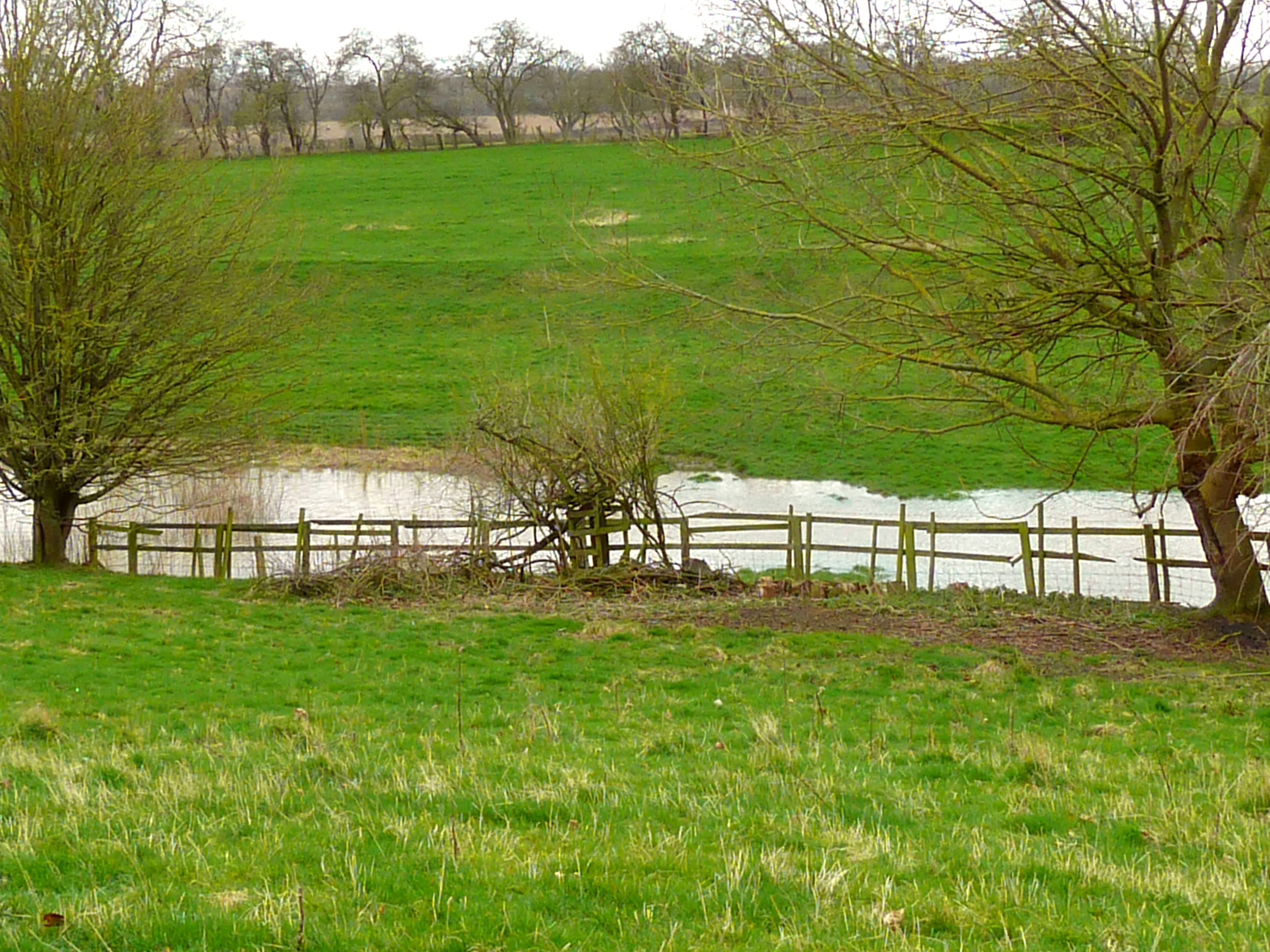
Kirk Deighton SSSI
Kirk Deighton SSSI is a Site of Special Scientific Interest (SSSI) in Alton's Field, Kirk Deighton, North Yorkshire, England. This site has been recognised...
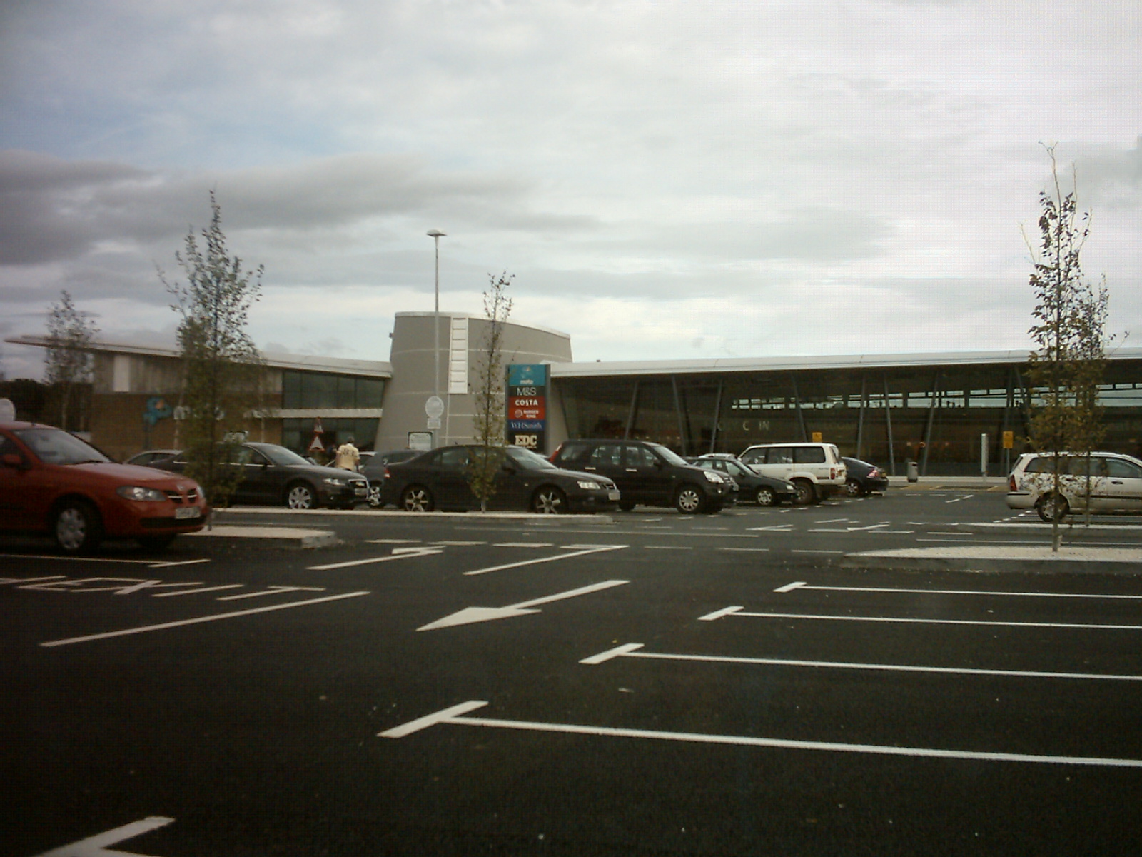
Wetherby services
Wetherby Services is a motorway service area north of Wetherby on the A1(M) motorway in northern England. It opened in September 2008, and the hotel (a...
Ingmanthorpe, North Yorkshire
Ingmanthorpe is a hamlet close to the village of Kirk Deighton in North Yorkshire, England, the village is situated approximately 2 miles (3.2 km) north...
Crimple Beck
Crimple Beck or the River Crimple is a beck which flows through North Yorkshire, England. It is a tributary of the River Nidd which it joins between Little...

Ainsty, Wetherby
Ainsty is an area of Wetherby, West Yorkshire, England. Ainsty is in the north of Wetherby and runs as far as the border between North and West Yorkshire...
Nearby Amenities
Located within 500m of 53.956118,-1.3904244Have you been to Tickering Hill?
Leave your review of Tickering Hill below (or comments, questions and feedback).