Crawley Forest
Wood, Forest in Hampshire Winchester
England
Crawley Forest
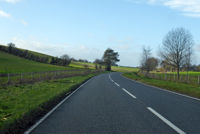
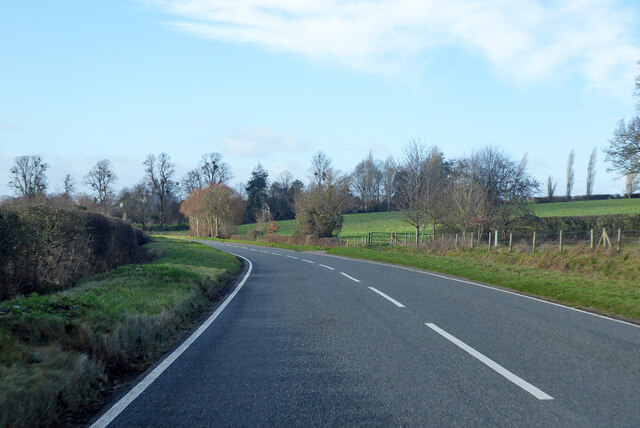
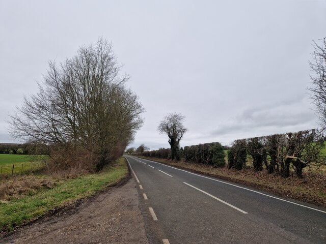
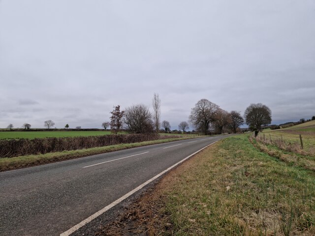
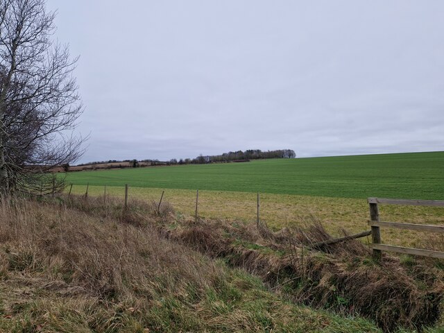
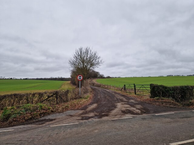
Crawley Forest, located in Hampshire, England, is a picturesque woodland area encompassing a total land area of approximately 100 hectares. This forest, known for its natural beauty and diverse ecosystem, attracts visitors from near and far.
The forest is primarily composed of a mixture of broadleaf and coniferous trees, including oak, birch, pine, and beech. These towering trees create a dense canopy, providing shade and shelter for a wide variety of flora and fauna. As visitors explore the forest, they can expect to encounter a rich tapestry of wildflowers, ferns, and mosses, adding color and texture to the landscape.
Crawley Forest is also home to various species of wildlife. Bird enthusiasts will delight in spotting woodpeckers, owls, and various songbirds nestled among the branches. Small mammals such as squirrels, foxes, and badgers can also be observed scurrying through the undergrowth, while deer occasionally graze in the clearings.
The forest offers a network of well-maintained trails and paths, allowing visitors to explore its beauty on foot or by bicycle. These trails provide opportunities for leisurely walks, invigorating hikes, or peaceful picnics amidst the serene surroundings. Additionally, there are designated areas for camping and barbecues, catering to those who wish to spend more time immersing themselves in the forest's tranquility.
Crawley Forest is a popular destination for nature lovers, photographers, and outdoor enthusiasts who seek solace and a connection with the natural world. Its breathtaking scenery, diverse wildlife, and recreational opportunities make it an ideal location for individuals seeking respite from the hustle and bustle of everyday life.
If you have any feedback on the listing, please let us know in the comments section below.
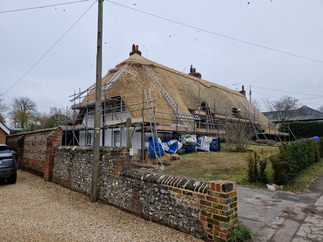
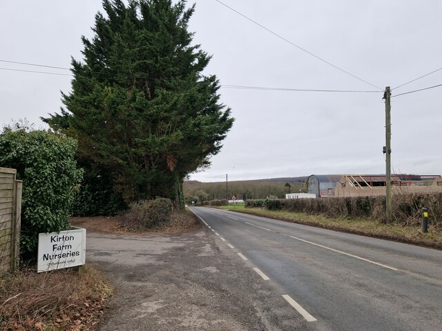
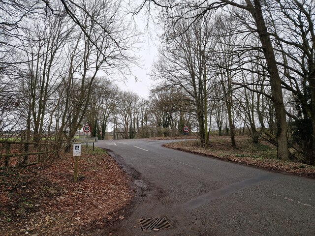
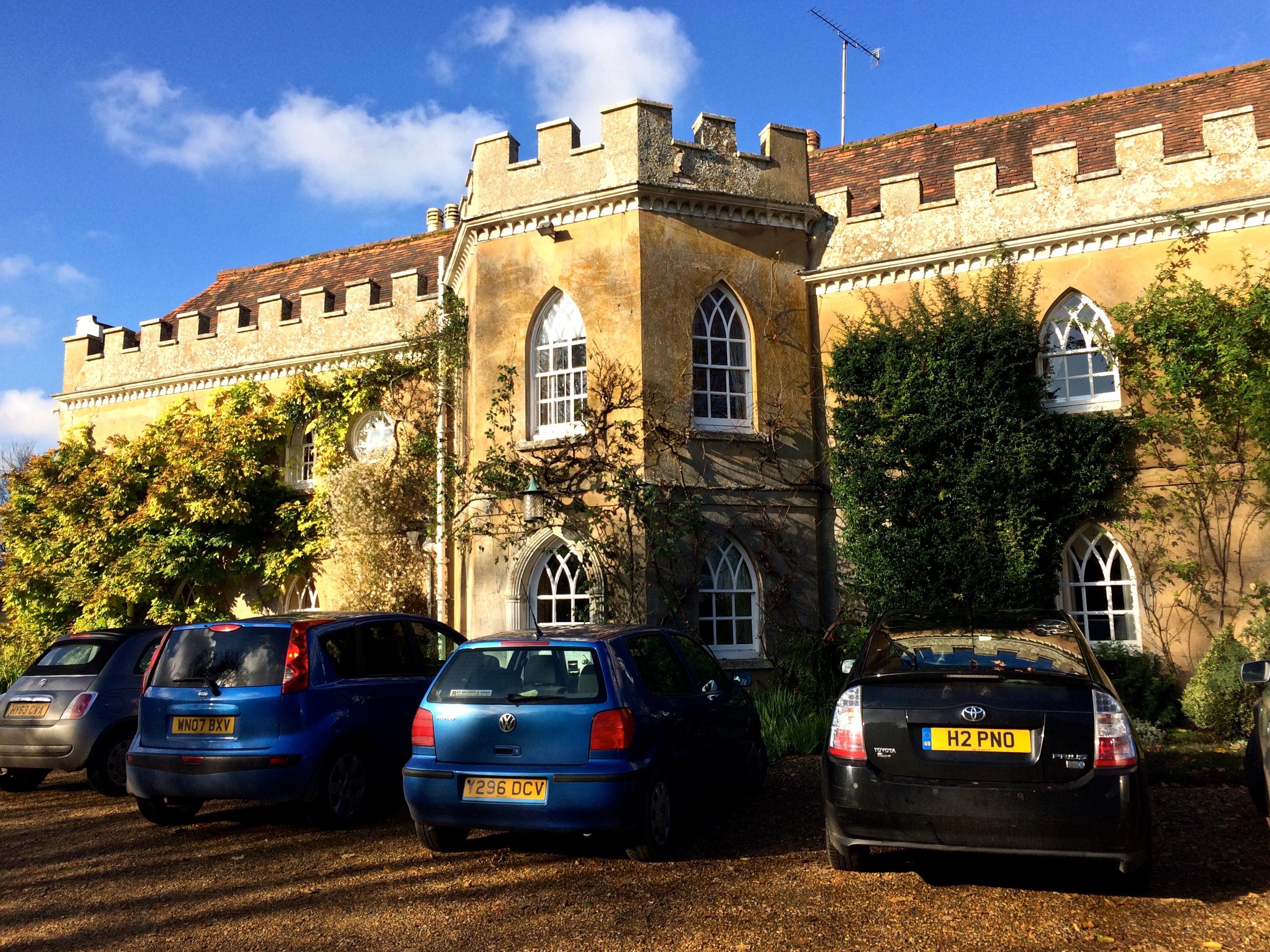
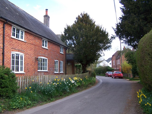
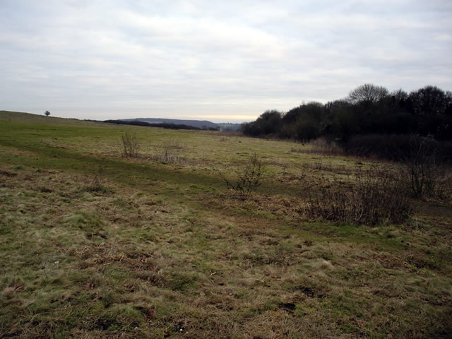
Crawley Forest Images
Images are sourced within 2km of 51.109951/-1.4166234 or Grid Reference SU4034. Thanks to Geograph Open Source API. All images are credited.


Crawley Forest is located at Grid Ref: SU4034 (Lat: 51.109951, Lng: -1.4166234)
Administrative County: Hampshire
District: Winchester
Police Authority: Hampshire
What 3 Words
///tight.blank.instilled. Near Winchester, Hampshire
Nearby Locations
Related Wikis

Crawley, Hampshire
Crawley is a small village in Hampshire, England. It is a few miles from the county town (and former capital) of Winchester. It is a civil parish within...

Chilbolton Down
Chilbolten Down is a hamlet in the civil parish of Chilbolton in Hampshire, England. Its nearest town is Stockbridge, which lies approximately 3.4 miles...
Rookley Manor, Hampshire
Rookley Manor is a Grade II* listed country house, located in Up Somborne in Hampshire, England. == Background == Located within the fertile Test Valley...
Up Somborne
Up Somborne is a hamlet in the civil parish of King's Somborne in the Test Valley district of Hampshire, England. Its nearest town is Stockbridge, which...

Woolbury
Woolbury, or Woolbury Ring, is the site of an Iron Age univallate hill fort on Stockbridge Down, Hampshire, England. == Description == The site is described...
Stockbridge Down
Stockbridge Down is a 69.8-hectare (172-acre) biological Site of Special Scientific Interest east of Stockbridge in Hampshire. It is a Nature Conservation...
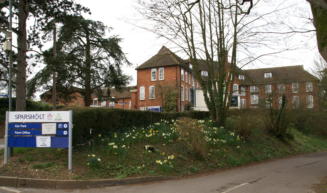
Sparsholt College
Sparsholt College is a Further Education (FE) and Higher Education (HE) college located at Sparsholt near Winchester, with a secondary campus in Andover...
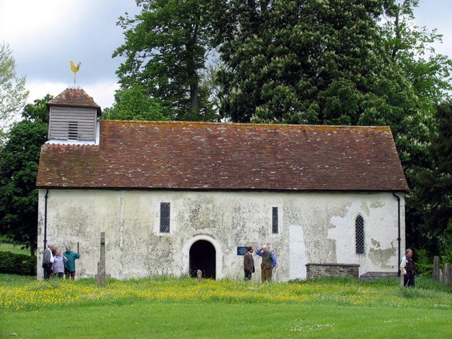
All Saints Church, Little Somborne
All Saints' Church is a redundant Church of England parish church in the hamlet of Little Somborne, Hampshire, England. It is a Grade II* listed building...
Nearby Amenities
Located within 500m of 51.109951,-1.4166234Have you been to Crawley Forest?
Leave your review of Crawley Forest below (or comments, questions and feedback).