Dell Copse

Wood, Forest in Hampshire Winchester

England

Dell Copse

Track to Gudge Copse A farm track off Dores Lane. It is not a public footpath.
Track to Gudge Copse Credit: Bill Boaden

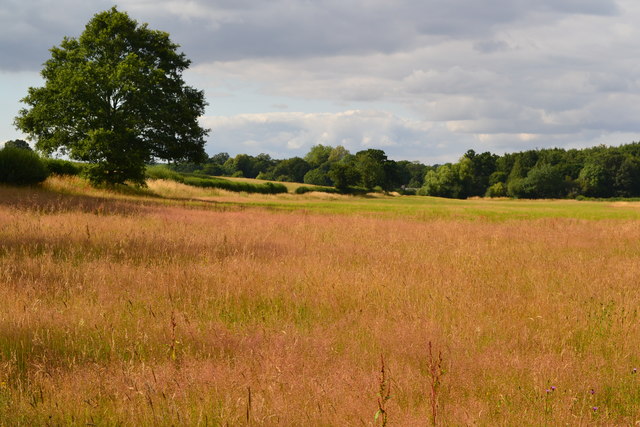
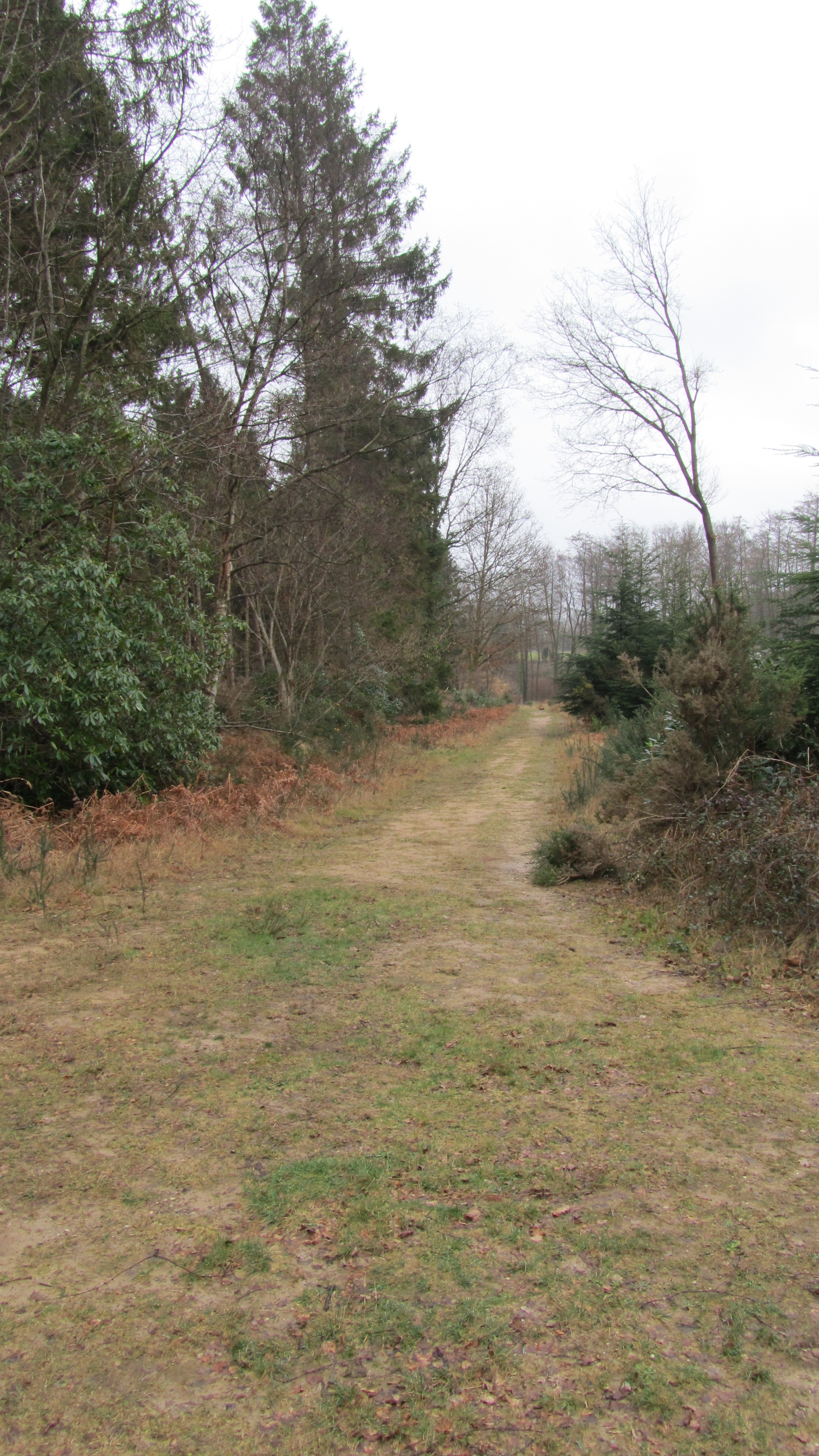
Dell Copse is a picturesque woodland located in the county of Hampshire, England. It is situated near the village of Binsted, approximately three miles east of Alton. Covering an area of around 50 acres, Dell Copse is a popular destination for nature enthusiasts and those seeking a peaceful retreat.

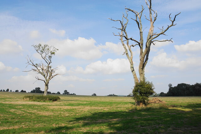
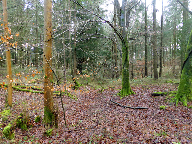
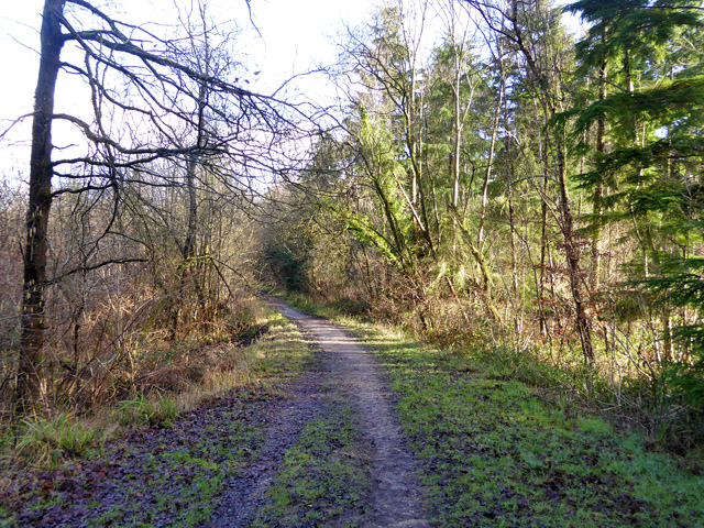
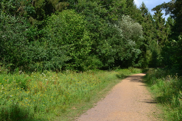
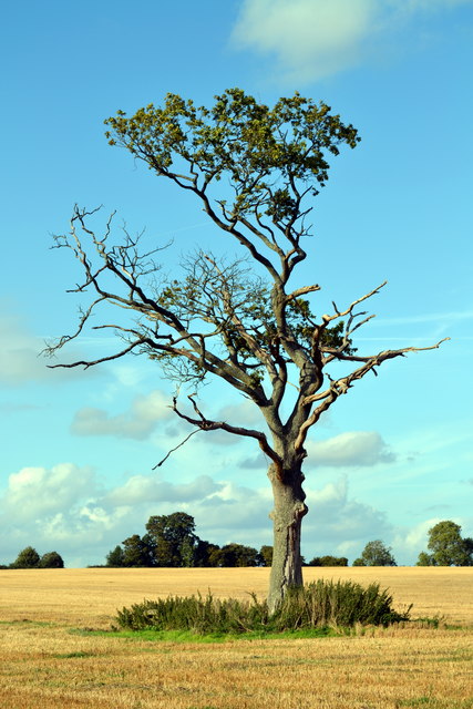
The woodland consists mainly of broadleaf trees such as oak, beech, and hornbeam, along with a variety of wildflowers and ferns that thrive in the understory. The dense canopy provided by the towering trees creates a cool and shaded environment, perfect for a leisurely stroll on a hot summer's day.

Dell Copse is home to a diverse range of wildlife, including deer, badgers, foxes, and a multitude of bird species. The woodland provides a rich habitat for these creatures, offering both food and shelter. Birdwatchers can often spot woodpeckers, jays, and various songbirds flitting among the branches.

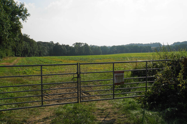
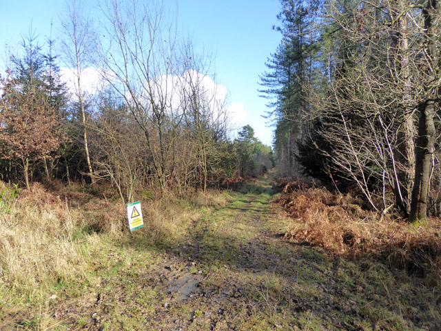
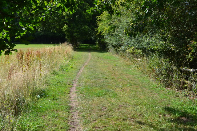
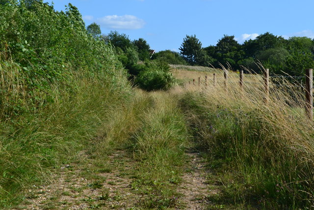
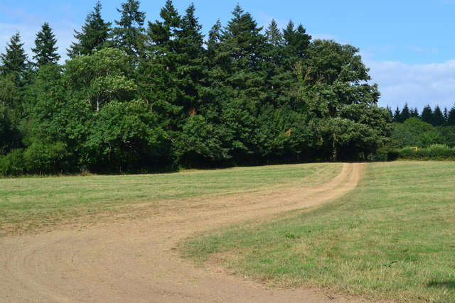
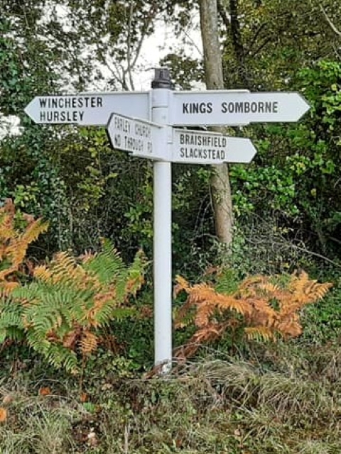
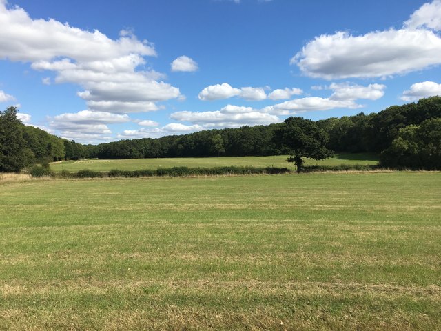
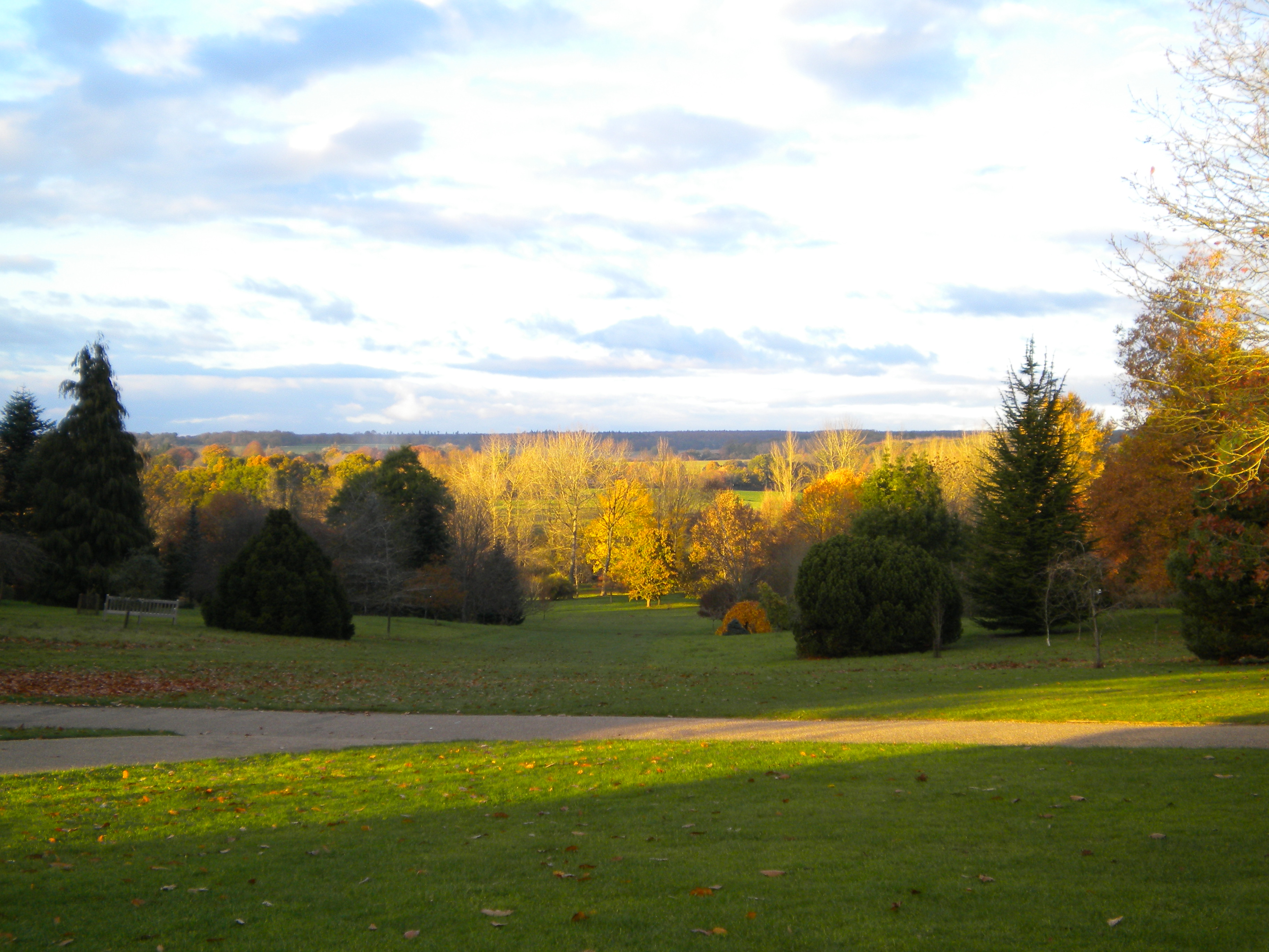
Visitors to Dell Copse can explore the woodland via a network of well-maintained footpaths that meander through the trees. These paths lead to various points of interest, including a small pond and a clearing that offers panoramic views of the surrounding countryside.

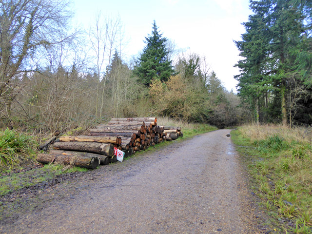
The woodland is managed by a local conservation group, who strive to preserve its natural beauty and protect the delicate ecosystem within. As a result, Dell Copse remains a tranquil and unspoiled haven, inviting visitors to immerse themselves in the sights, sounds, and scents of nature.

If you have any feedback on the listing, please let us know in the comments section below.

Dell Copse Images

Images are sourced within 2km of 51.02561/-1.4288325 or Grid Reference SU4025. Thanks to Geograph Open Source API. All images are credited.

Track to Gudge Copse A farm track off Dores Lane. It is not a public footpath.
Track to Gudge Copse
A farm track off Dores Lane. It is not a public footpath.
Skeletal trees on Berry Down These have presumably succumbed to a fungal infection, but there are signs of life clinging on.
Skeletal trees on Berry Down
These have presumably succumbed to a fungal infection, but there are signs of life clinging on.
Field above Miller's Copse A crop is emerging but I cannot tell what it is from this distance.
Field above Miller's Copse
A crop is emerging but I cannot tell what it is from this distance.
Log stack, Ampfield Wood Forestry Commission woodland.
Log stack, Ampfield Wood
Forestry Commission woodland.
In Ampfield Wood Forestry Commission woodland.
In Ampfield Wood
Forestry Commission woodland.
Forestry track, Ampfield Wood Forestry Commission woodland.
Forestry track, Ampfield Wood
Forestry Commission woodland.
Public footpath in Ampfield Wood Forestry Commission woodland.
Public footpath in Ampfield Wood
Forestry Commission woodland.
Old Direction Sign - Signpost by Dores Lane, Hursley Parish No finial - 4 arms; by the UC road, in parish of Hursley (Winchester District), junction of Dores Lane and Merdon Castle Lane.

To be surveyed

Milestone Society National ID: HA_SU3926
Old Direction Sign - Signpost by Dores Lane, Hursley Parish
No finial - 4 arms; by the UC road, in parish of Hursley (Winchester District), junction of Dores Lane and Merdon Castle Lane. To be surveyed Milestone Society National ID: HA_SU3926
Old Direction Sign - Signpost by Lower Slackstead No finial - 3 arms; by the UC road, in parish of Hursley (Winchester District), Lower Slackstead, junction of Dores Lane with road to Upper Slackstead.

To be surveyed

Milestone Society National ID: HA_SU3925
Old Direction Sign - Signpost by Lower Slackstead
No finial - 3 arms; by the UC road, in parish of Hursley (Winchester District), Lower Slackstead, junction of Dores Lane with road to Upper Slackstead. To be surveyed Milestone Society National ID: HA_SU3925
Path from Ampfield Wood to Lower Slackstead
Field north of Red Gate
Path in Ampfield Wood
Field below Hill House
Path south from Plantation Copse
Track in field south of Ampfield Wood
Farley Chamberlayne
Farley Chamberlayne
Direction Sign – Signpost Located on the southeast side of the junction of Dores Lane and Merdon Castle Lane in Hursley parish. 4 arms and missing annulus finial. An updated photo of <a title="https://www.geograph.org.uk/photo/6045056" href="https://www.geograph.org.uk/photo/6045056">Link</a>.

Milestone Society National ID: HA_SU3926
Direction Sign – Signpost
Located on the southeast side of the junction of Dores Lane and Merdon Castle Lane in Hursley parish. 4 arms and missing annulus finial. An updated photo of Link. Milestone Society National ID: HA_SU3926
Facing towards Ampfield wood This is a photo taken of a field near Ampfield wood from the path next to it.
Facing towards Ampfield wood
This is a photo taken of a field near Ampfield wood from the path next to it.
Show me another place!

Dell Copse is located at Grid Ref: SU4025 (Lat: 51.02561, Lng: -1.4288325)

Administrative County: Hampshire

District: Winchester

Police Authority: Hampshire

What 3 Words

///dent.thinkers.cubed. Near North Baddesley, Hampshire

Nearby Locations

Dell Copse Dores Copse

Related Wikis

Ampfield

Ampfield is a village and civil parish in the Borough of Test Valley in Hampshire, England, between Romsey, Eastleigh, and Winchester. It had a population...

The Quarters, Hursley Park

The Quarters is a cricket ground located off Hursley Park Road in the grounds of the former Hursley Park Estate at Hursley, Hampshire, England. Set in...

IBM Hursley

IBM Hursley is a research and development laboratory belonging to International Business Machines in the village of Hursley, Hampshire, England. Established...

Hursley House

Hursley House is an 18th-century Queen Anne style mansion in Hursley, near Winchester in the English county of Hampshire. The building is Grade II* listed...

Ratlake Meadows

Ratlake Meadows is a 4.2-hectare (10-acre) biological Site of Special Scientific Interest north of Chandler's Ford in Hampshire.These unimproved meadows...

Braishfield

Braishfield is a village and civil parish north of Romsey in Hampshire, England. The name is thought to be derived from the Old English bræsc + feld,...

Hursley

Hursley is a village and civil parish in Hampshire, England with a population of around 900 in 2011. It is located roughly midway between Romsey and Winchester...

Sir Harold Hillier Gardens

The Sir Harold Hillier Gardens is an arboretum comprising 72 hectares (180 acres) accommodating over 42,000 trees and shrubs in about 12,000 taxa, notably...

Nearby Amenities

Located within 500m of 51.02561,-1.4288325
Power: pole
Lat/Long: 51.0265134/-1.4341327
Power: pole
Lat/Long: 51.0267177/-1.4318011
Power: pole
Lat/Long: 51.0266251/-1.4293223
Power: pole
Lat/Long: 51.0265581/-1.4272646
Power: pole
Lat/Long: 51.0255352/-1.4225506
Power: pole
Lat/Long: 51.0252878/-1.4219163
Hunting Stand
Lat/Long: 51.0253242/-1.4260021
Hunting Stand
Lat/Long: 51.0262149/-1.4239677
Hunting Stand
Lat/Long: 51.0286729/-1.4254757
Dell Copse
Place: locality
Lat/Long: 51.0256272/-1.4284375
Crossing
Lat/Long: 51.0259745/-1.4359079
Power: pole
Lat/Long: 51.0264258/-1.424893
Hunting Stand
Disused: yes
Lat/Long: 51.0240303/-1.4287959
Barrier: bollard
Lat/Long: 51.0234691/-1.429525
Hunting Stand
Lat/Long: 51.0242176/-1.4283609
Hunting Stand
Lat/Long: 51.0236705/-1.4238668
Hunting Stand
Access: private
Lockable: no
Lat/Long: 51.025939/-1.4304525
Hunting Stand
Access: private
Lockable: no
Lat/Long: 51.0272507/-1.4277327
Power: pole
Lat/Long: 51.0255268/-1.4354101
Power: pole
Lat/Long: 51.0259722/-1.4344495
Power: pole
Lat/Long: 51.0271337/-1.4319979
Power: pole
Lat/Long: 51.0283096/-1.4326182
Power: pole
Lat/Long: 51.0291819/-1.4330956
Hunting Stand
Lat/Long: 51.0212341/-1.4288092
Great Grubbed Ground
Place: locality
Lat/Long: 51.0246893/-1.4238969
Hatchet Gate
Place: locality
Lat/Long: 51.0262793/-1.4233302
Hunting Stand
Lat/Long: 51.0258936/-1.4224361
The data included in this document is from www.openstreetmap.org. The data is made available under ODbL.

Have you been to Dell Copse?

Leave your review of Dell Copse below (or comments, questions and feedback).