Great Up Somborne Wood
Wood, Forest in Hampshire Test Valley
England
Great Up Somborne Wood
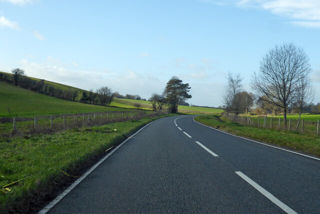
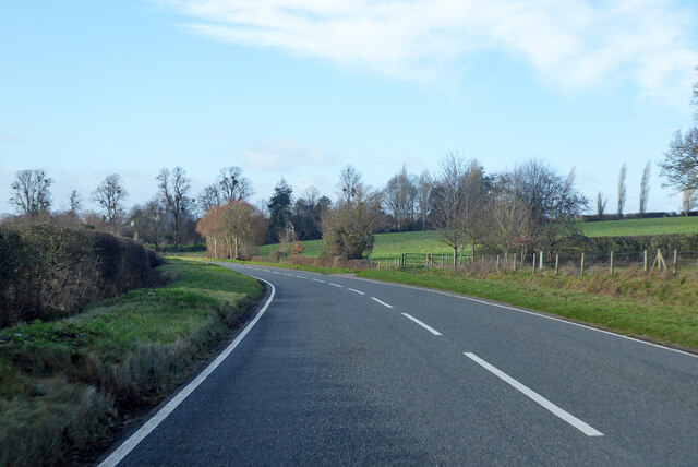
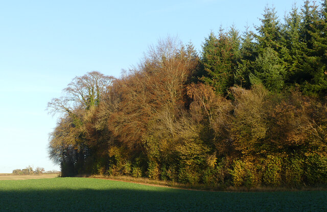
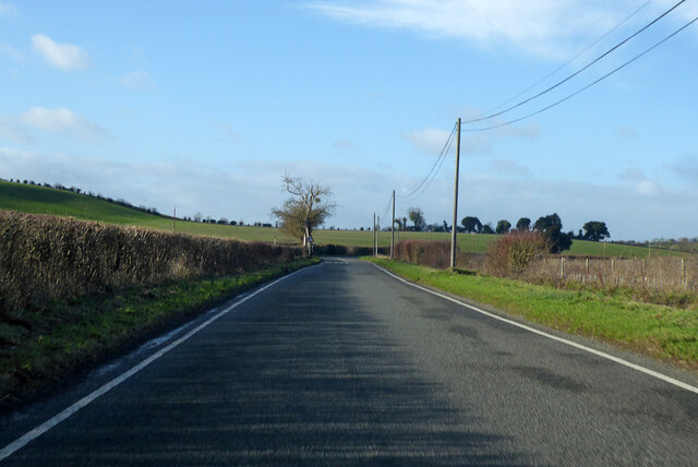
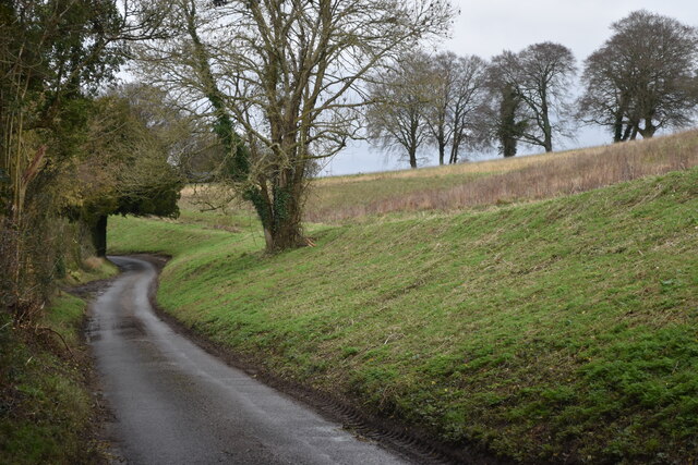
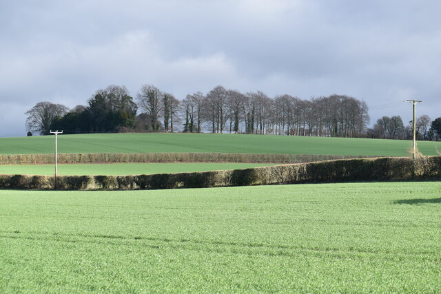
Great Up Somborne Wood is a picturesque woodland located in the county of Hampshire, England. Covering an area of approximately 100 acres, it is a popular destination for nature enthusiasts and outdoor lovers.
The woodland is home to a diverse range of flora and fauna, including ancient oak trees, beech trees, and holly bushes. These trees create a dense canopy, providing shade and shelter for a variety of wildlife species. Visitors to Great Up Somborne Wood may be fortunate enough to spot deer, foxes, badgers, and a wide variety of birds.
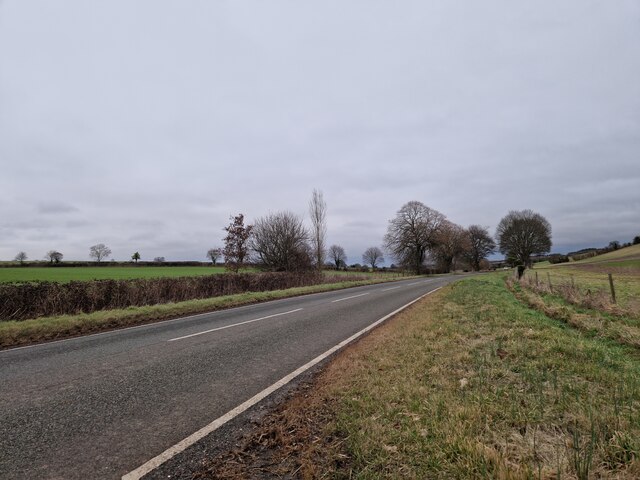
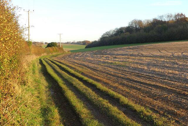
Tranquil walking trails wind their way through the wood, offering visitors the opportunity to explore and immerse themselves in the natural beauty of the surroundings. The paths are well-maintained and suitable for all levels of fitness, making it an ideal location for families, dog walkers, and nature enthusiasts.
Great Up Somborne Wood is also known for its vibrant display of wildflowers during the spring and summer months. Bluebells, primroses, and wood anemones carpet the forest floor, creating a stunning spectacle of color and fragrance.
The wood is managed by a local conservation group, who ensure that the delicate balance of the ecosystem is maintained. They also organize guided walks and educational events to promote awareness and appreciation for the natural environment.
Overall, Great Up Somborne Wood is a hidden gem in the Hampshire countryside, offering visitors the opportunity to escape the hustle and bustle of everyday life and reconnect with nature.
If you have any feedback on the listing, please let us know in the comments section below.
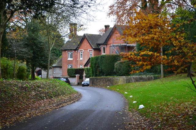
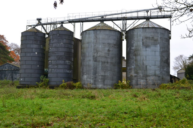
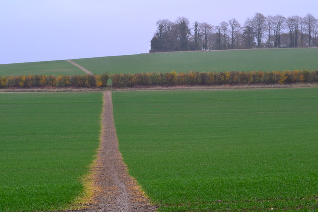
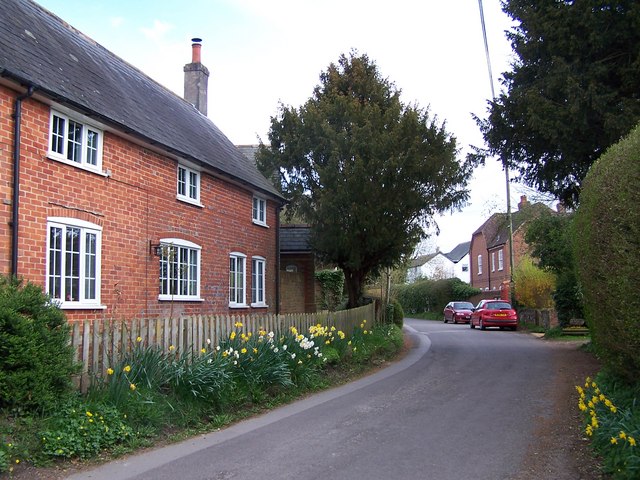
Great Up Somborne Wood Images
Images are sourced within 2km of 51.080864/-1.4281955 or Grid Reference SU4031. Thanks to Geograph Open Source API. All images are credited.


Great Up Somborne Wood is located at Grid Ref: SU4031 (Lat: 51.080864, Lng: -1.4281955)
Administrative County: Hampshire
District: Test Valley
Police Authority: Hampshire
What 3 Words
///enthused.slim.haunts. Near Winchester, Hampshire
Nearby Locations
Related Wikis
Up Somborne
Up Somborne is a hamlet in the civil parish of King's Somborne in the Test Valley district of Hampshire, England. Its nearest town is Stockbridge, which...
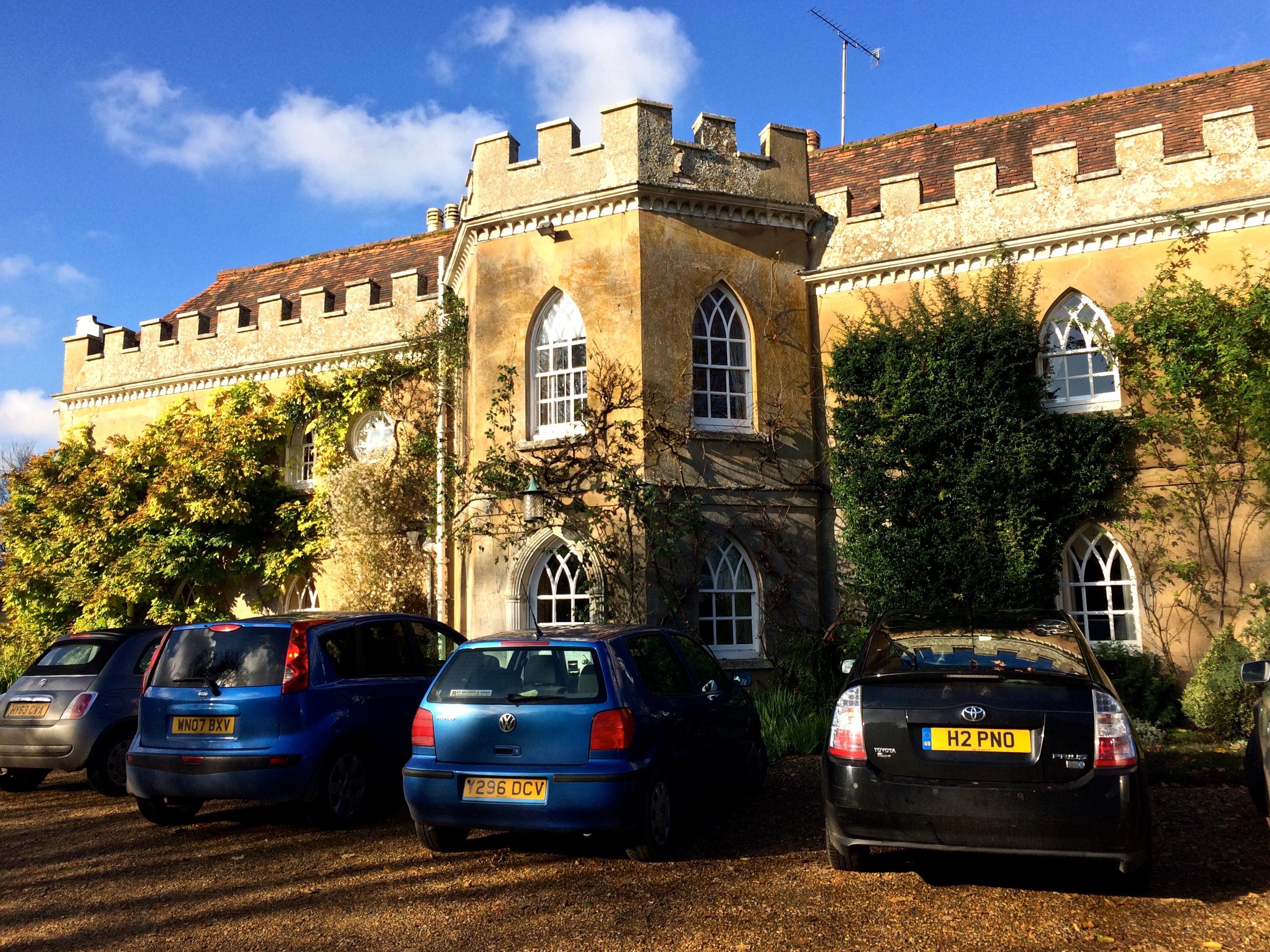
Rookley Manor, Hampshire
Rookley Manor is a Grade II* listed country house, located in Up Somborne in Hampshire, England. == Background == Located within the fertile Test Valley...
Ashley, Test Valley
Ashley is a village and civil parish in the Test Valley district of Hampshire, England, 8 miles (13 km) west of Winchester. Its nearest town is Stockbridge...
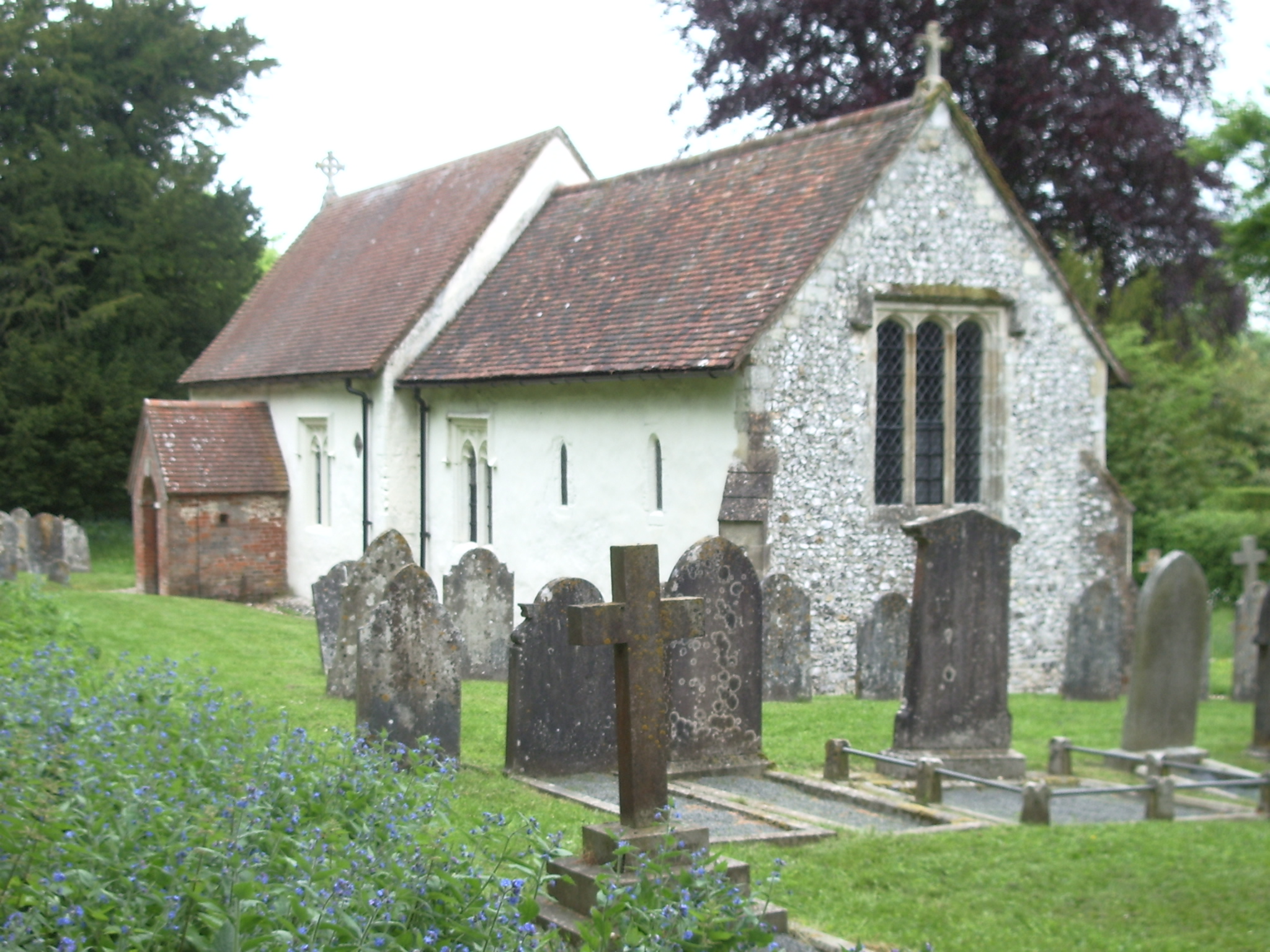
St. Mary's Church, Ashley
St. Mary's Church is a historic Anglican church in the hamlet of Ashley, Hampshire, England. It is recorded in the National Heritage List for England...
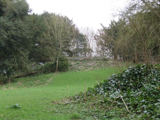
Ashley Castle
The remains of Ashley Castle are in the small village of Ashley, Test Valley, in Hampshire (grid reference SU385308). The visible remains now consist of...

Sparsholt Roman Villa
Sparsholt Roman Villa was a Roman villa near the village of Sparsholt, Hampshire, England. It was constructed in phases from the 2nd to the 5th century...

Little Somborne
Little Somborne is a hamlet and civil parish of the Test Valley district in Hampshire, England. Its nearest town is Stockbridge, which lies approximately...
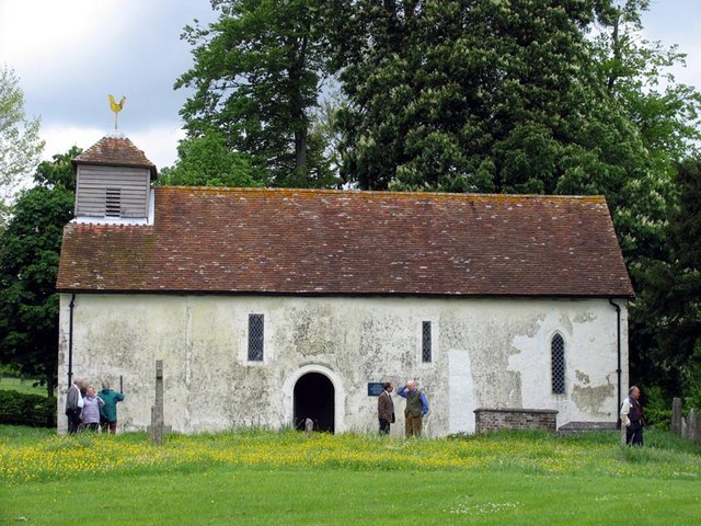
All Saints Church, Little Somborne
All Saints' Church is a redundant Church of England parish church in the hamlet of Little Somborne, Hampshire, England. It is a Grade II* listed building...
Nearby Amenities
Located within 500m of 51.080864,-1.4281955Have you been to Great Up Somborne Wood?
Leave your review of Great Up Somborne Wood below (or comments, questions and feedback).