Ambion Wood
Wood, Forest in Leicestershire Hinckley and Bosworth
England
Ambion Wood
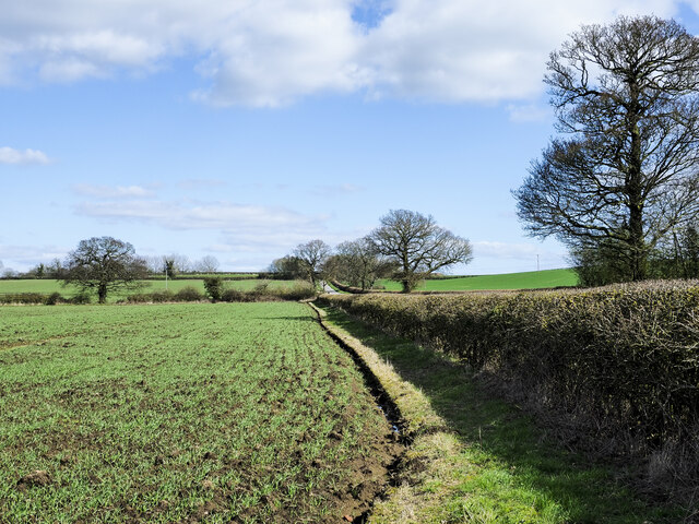
Ambion Wood is a picturesque woodland located in Leicestershire, England. Covering an area of approximately 200 acres, it is a popular destination for nature enthusiasts and outdoor enthusiasts alike. The wood is situated near the village of Carlton and is easily accessible from the nearby towns of Market Bosworth and Hinckley.
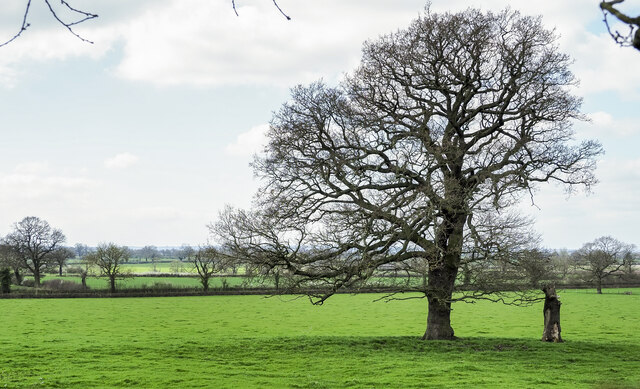
Ambion Wood is primarily composed of native broadleaf trees, including oak, ash, and birch, creating a diverse and vibrant ecosystem. The wood is home to a variety of wildlife, including deer, foxes, badgers, and a wide range of bird species, making it a haven for wildlife enthusiasts and birdwatchers.
The wood offers a network of well-maintained walking trails, allowing visitors to explore the beautiful surroundings and immerse themselves in nature. These trails cater to both casual walkers and more experienced hikers, with options for shorter strolls or longer, more challenging routes.
In addition to its natural beauty, Ambion Wood also holds historical significance. The wood is located near the site of Ambion Hill, where the Battle of Bosworth took place in 1485, marking the end of the Wars of the Roses and the beginning of the Tudor dynasty. Visitors can visit the nearby Bosworth Battlefield Heritage Centre to learn more about this important historical event.
Overall, Ambion Wood offers a tranquil and scenic escape for those seeking to connect with nature, explore walking trails, or delve into local history. Its diverse flora and fauna, combined with its historical significance, make it a beloved destination for both locals and tourists alike.
If you have any feedback on the listing, please let us know in the comments section below.
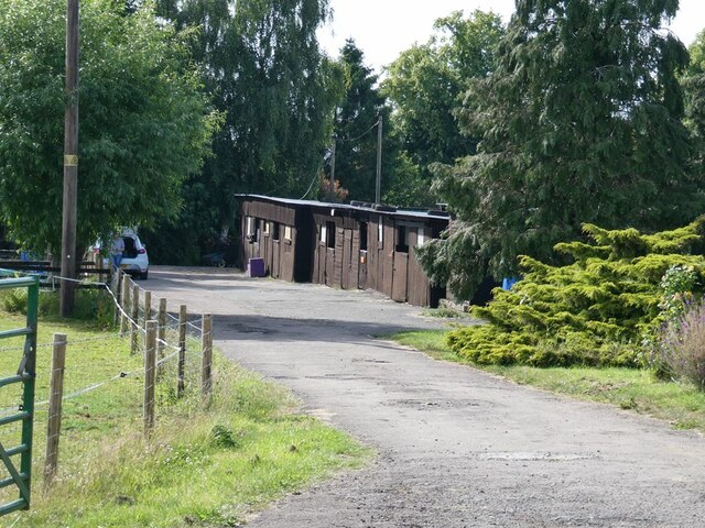
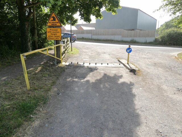
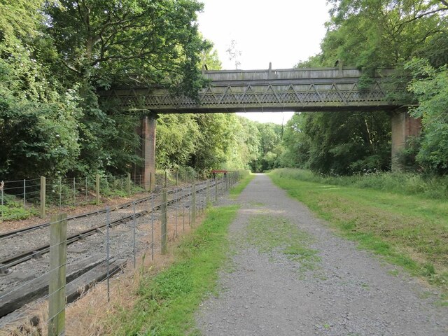
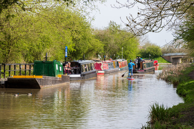
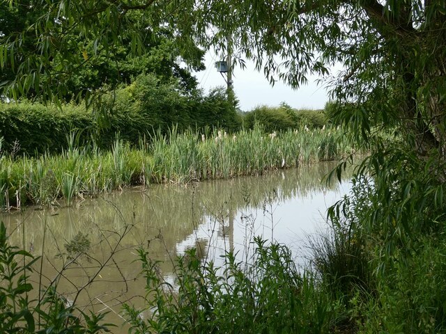
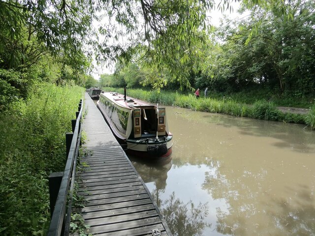
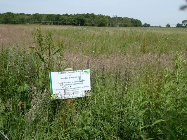
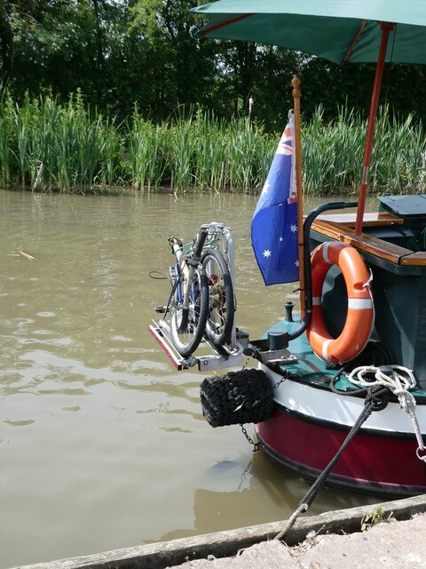
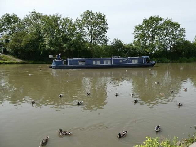
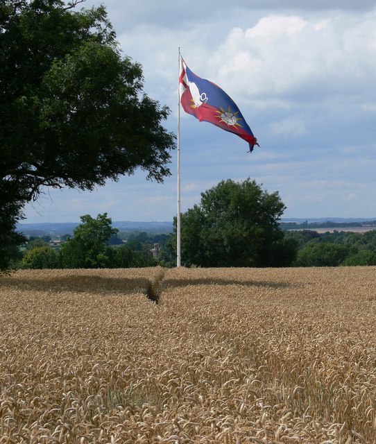
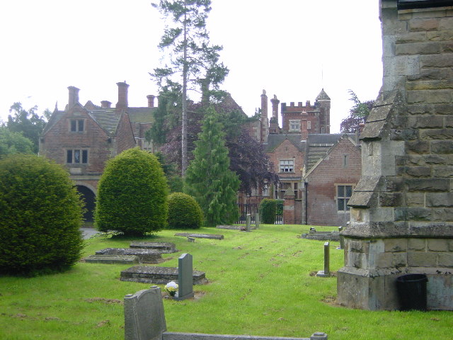
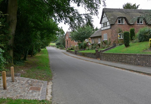
Ambion Wood Images
Images are sourced within 2km of 52.593853/-1.4102471 or Grid Reference SP4099. Thanks to Geograph Open Source API. All images are credited.
Ambion Wood is located at Grid Ref: SP4099 (Lat: 52.593853, Lng: -1.4102471)
Administrative County: Leicestershire
District: Hinckley and Bosworth
Police Authority: Leicestershire
What 3 Words
///vaulting.acrobatic.amid. Near Stoke Golding, Leicestershire
Nearby Locations
Related Wikis

Battle of Bosworth Field
The Battle of Bosworth or Bosworth Field ( BOZ-wərth) was the last significant battle of the Wars of the Roses, the civil war between the houses of Lancaster...
Ambion Hill
Ambion Hill is a hill in west Leicestershire, England, south of the town of Market Bosworth and lying south of the Sutton Cheney to Shenton road and north...
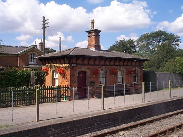
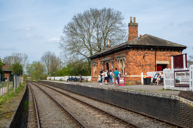
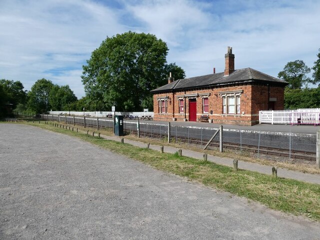
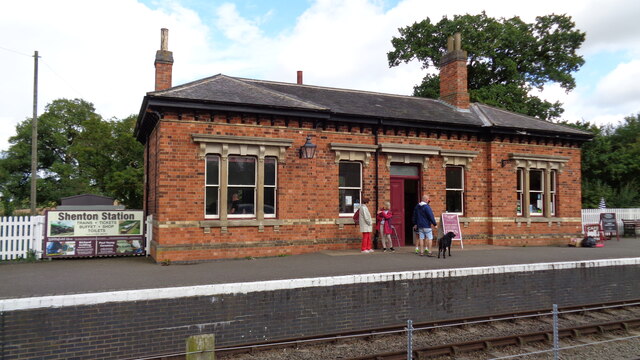
Shenton railway station
Shenton railway station is located about 0.5 miles from the village of Shenton, Leicestershire, England. It currently serves as a glassblowing studio Station...

Sparkenhoe
Sparkenhoe was a hundred of Leicestershire, England in the south-west of the county, covering Market Bosworth and Hinckley, broadly corresponding to the...

Bosworth (UK Parliament constituency)
Bosworth ( BOZ-wərth) is a constituency represented in the House of Commons of the UK Parliament since 2019 by Luke Evans, a Conservative.Further to the...
Shenton Hall
Shenton Hall is a country house within the village of Shenton, in Leicestershire, England. It is recorded in the National Heritage List for England as...
Shenton
Shenton is a village and former civil parish, now in the parish of Dadlington and Sutton Cheney, in the Hinckley and Bosworth district, in the county of...

Sutton Cheney
Sutton Cheney ( SUT-ən CHEE-nee) is a village and former civil parish, now in the parish of Dadlington and Sutton Cheney, in the borough of Hinckley and...
Nearby Amenities
Located within 500m of 52.593853,-1.4102471Have you been to Ambion Wood?
Leave your review of Ambion Wood below (or comments, questions and feedback).