Sutton Cheney
Civil Parish in Leicestershire Hinckley and Bosworth
England
Sutton Cheney
Sutton Cheney is a civil parish located in Leicestershire, England. It is situated approximately 8 miles east of Hinckley and 10 miles west of Market Bosworth. The parish covers an area of about 4.5 square miles and has a population of around 500 people.
The village of Sutton Cheney is known for its historical significance. It was the birthplace of Richard III, the infamous King of England who reigned from 1483 to 1485. The site of his birth, now marked by a memorial stone, attracts many history enthusiasts and visitors.
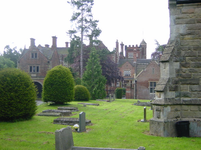
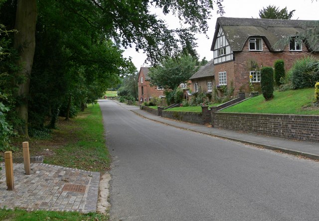
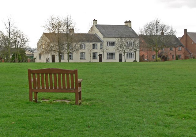
The village itself has a charming rural setting, with a mix of traditional cottages and modern houses. The parish church, St. James' Church, is a prominent landmark in the village. Built in the 13th century, it features a unique octagonal spire and is a Grade II* listed building.
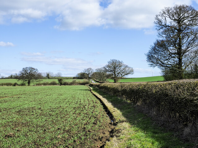
Sutton Cheney is surrounded by picturesque countryside and offers several walking and cycling routes, including the Ashby Woulds Heritage Trail and the Battlefield Line Railway. The area is also home to Bosworth Battlefield, where the historic Battle of Bosworth took place in 1485, resulting in the death of Richard III and the ascension of Henry VII to the throne.
In terms of amenities, Sutton Cheney has a village hall and a pub, The Hercules Revived, which is popular among locals and visitors alike. The village maintains a strong sense of community, with various events and activities organized throughout the year.
Overall, Sutton Cheney is a quaint and historically significant village, offering a peaceful and scenic environment for residents and visitors to enjoy.
If you have any feedback on the listing, please let us know in the comments section below.
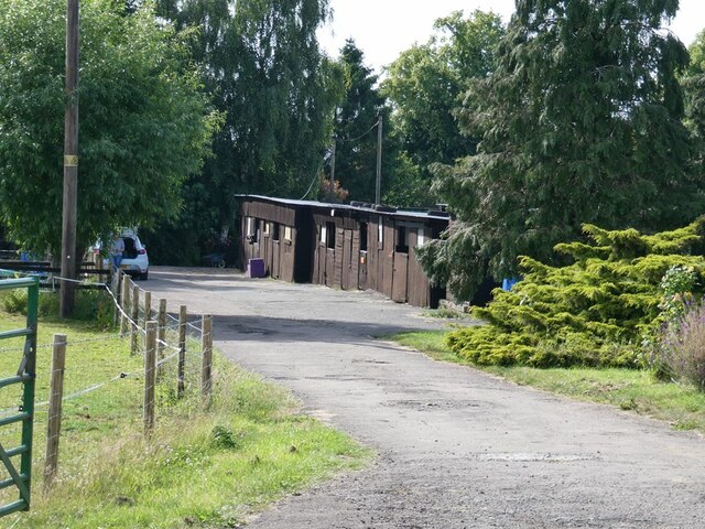
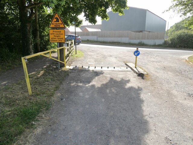
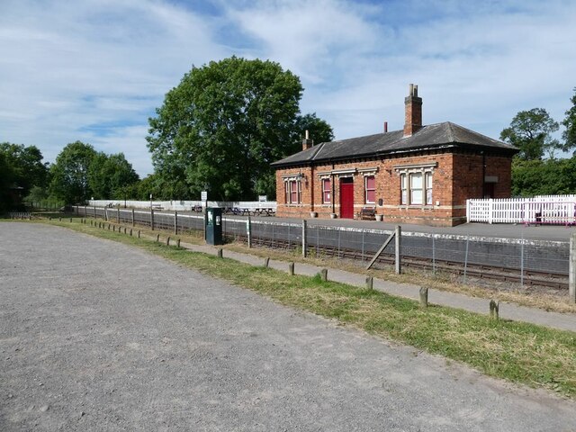
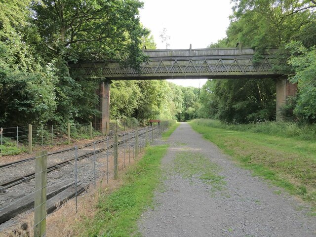
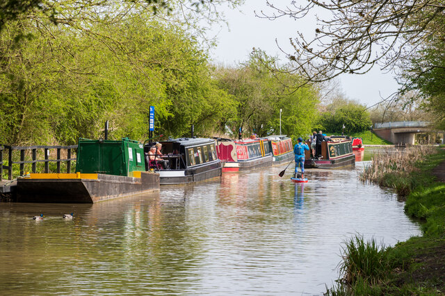
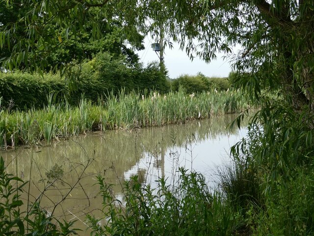
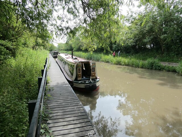
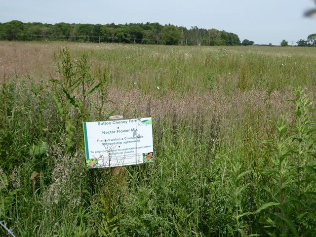
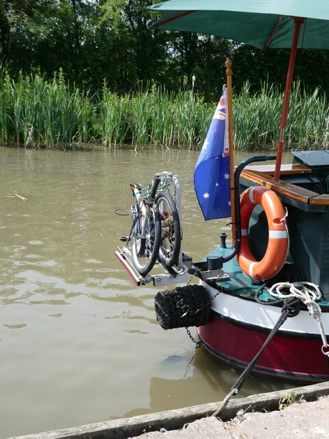
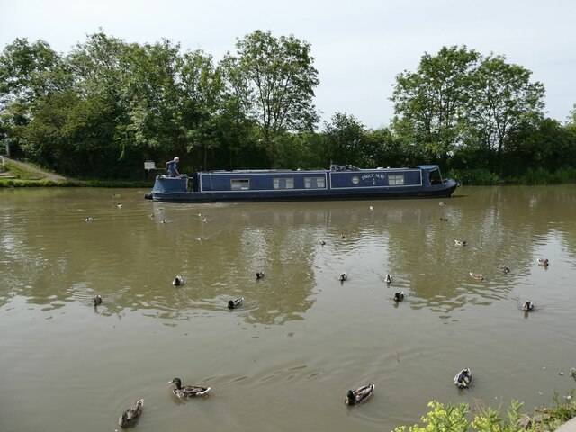
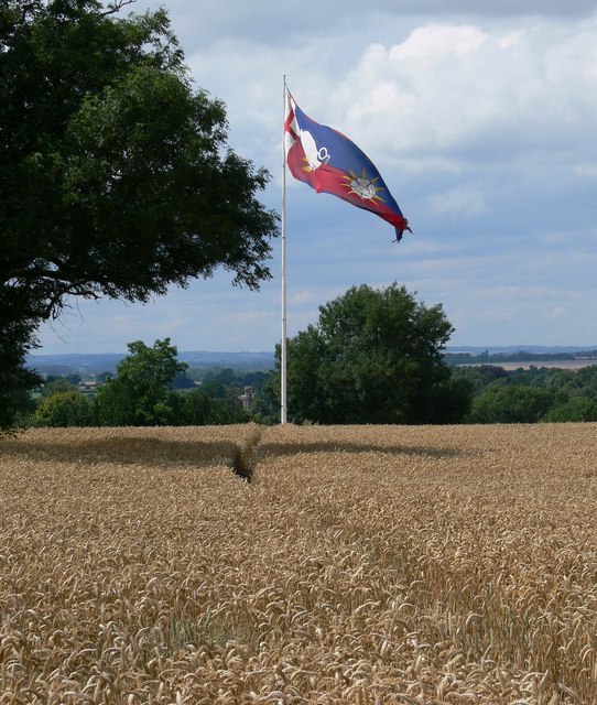
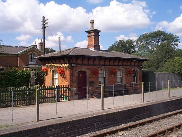
Sutton Cheney Images
Images are sourced within 2km of 52.593765/-1.410719 or Grid Reference SP4099. Thanks to Geograph Open Source API. All images are credited.
Sutton Cheney is located at Grid Ref: SP4099 (Lat: 52.593765, Lng: -1.410719)
Administrative County: Leicestershire
District: Hinckley and Bosworth
Police Authority: Leicestershire
What 3 Words
///learns.shallower.couch. Near Stoke Golding, Leicestershire
Nearby Locations
Related Wikis

Battle of Bosworth Field
The Battle of Bosworth or Bosworth Field ( BOZ-wərth) was the last significant battle of the Wars of the Roses, the civil war between the houses of Lancaster...
Ambion Hill
Ambion Hill is a hill in west Leicestershire, England, south of the town of Market Bosworth and lying south of the Sutton Cheney to Shenton road and north...
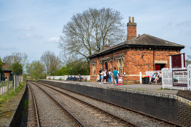
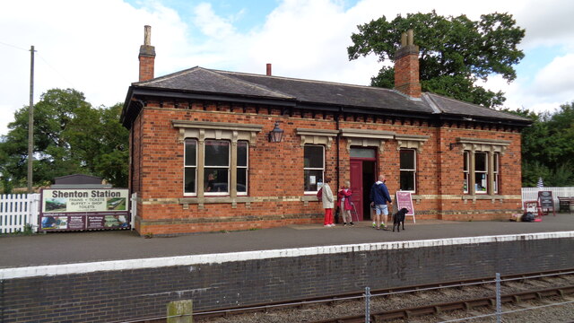
Shenton railway station
Shenton railway station is located about 0.5 miles from the village of Shenton, Leicestershire, England. It currently serves as a glassblowing studio Station...

Sparkenhoe
Sparkenhoe was a hundred of Leicestershire, England in the south-west of the county, covering Market Bosworth and Hinckley, broadly corresponding to the...

Bosworth (UK Parliament constituency)
Bosworth ( BOZ-wərth) is a constituency represented in the House of Commons of the UK Parliament since 2019 by Luke Evans, a Conservative.Further to the...
Shenton Hall
Shenton Hall is a country house within the village of Shenton, in Leicestershire, England. It is recorded in the National Heritage List for England as...
Shenton
Shenton is a village and former civil parish, now in the parish of Dadlington and Sutton Cheney, in the Hinckley and Bosworth district, in the county of...
Dadlington
Dadlington is a village and former civil parish, now in the parish of Dadlington and Sutton Cheney, in the Hinckley and Bosworth district, in Leicestershire...
Nearby Amenities
Located within 500m of 52.593765,-1.410719Have you been to Sutton Cheney?
Leave your review of Sutton Cheney below (or comments, questions and feedback).