Mill Dam Plantation

Wood, Forest in Derbyshire Amber Valley

England

Mill Dam Plantation

Stile and kissing gate A stile and kissing gate at a field boundary on the footpath to Stanley Common.
Stile and kissing gate Credit: Ian Calderwood

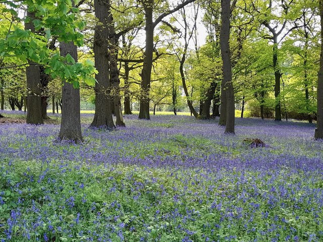
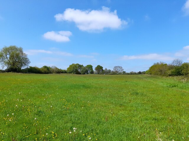
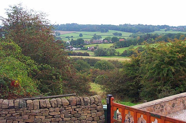
Mill Dam Plantation is a picturesque woodland located in Derbyshire, England. Covering an area of approximately 100 acres, this stunning plantation offers a serene escape from the hustle and bustle of everyday life.

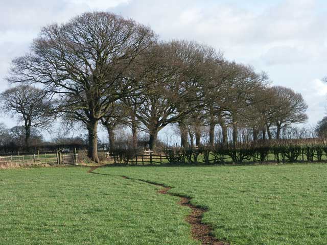
The woodland is characterized by a diverse mix of native trees, including oak, birch, beech, and ash, which create a lush and vibrant landscape throughout the year. The plantation is also home to a variety of wildlife, with deer, foxes, and numerous bird species frequently spotted by visitors.

One of the standout features of Mill Dam Plantation is the charming mill pond, which dates back to the 18th century. Surrounded by ancient trees and tranquil walking trails, the pond provides a tranquil setting for relaxation and reflection. Visitors can enjoy a leisurely stroll along the water's edge, or simply sit and soak in the peaceful atmosphere.

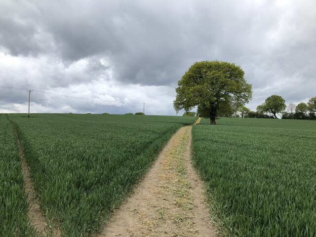
The woodland is well-maintained, with clearly marked paths and seating areas strategically placed throughout the plantation. This makes it an ideal location for outdoor activities such as walking, picnicking, or birdwatching. The plantation also offers a network of cycling trails, allowing visitors to explore the woodland on two wheels.

Mill Dam Plantation is a popular destination for nature enthusiasts and families alike, offering a range of activities for all ages and interests. Whether you are seeking a peaceful retreat or an adventure in the great outdoors, this woodland sanctuary is sure to captivate and delight.

If you have any feedback on the listing, please let us know in the comments section below.

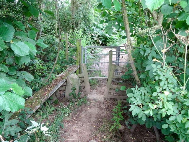
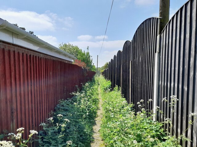
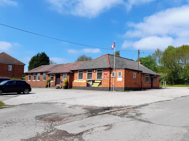
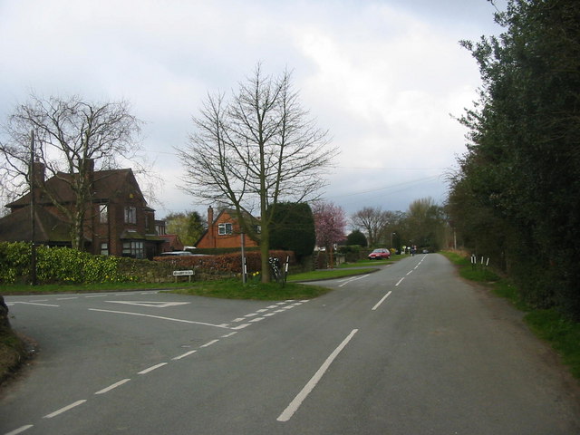
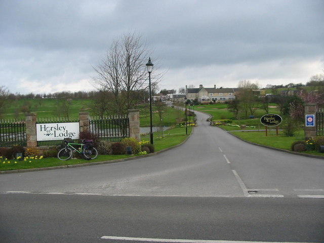
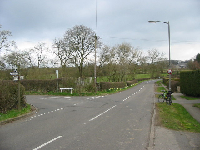
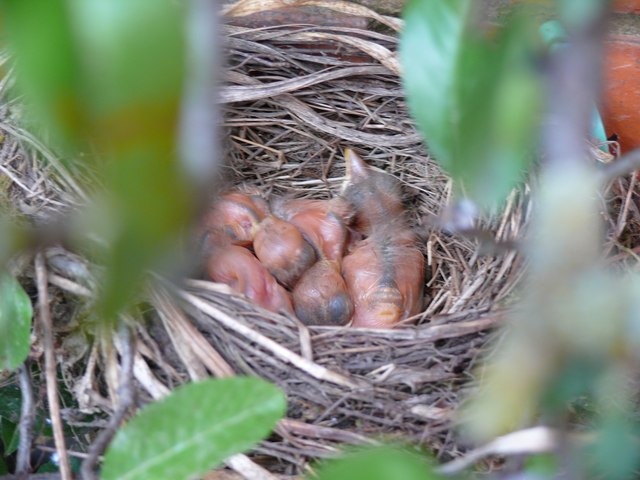
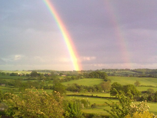
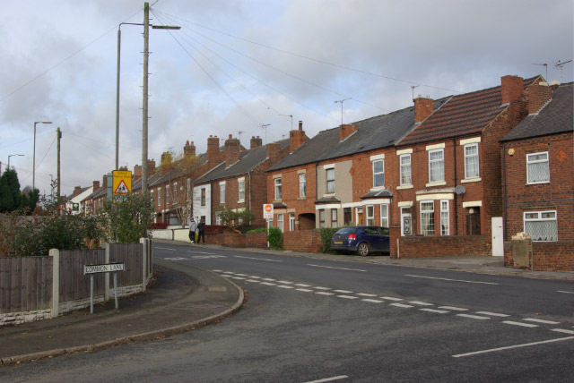
Mill Dam Plantation Images

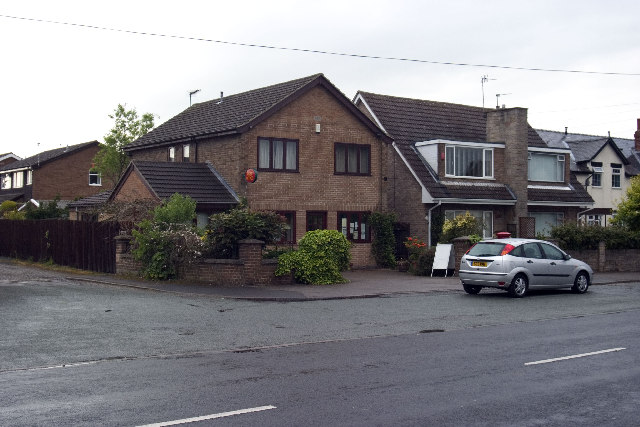
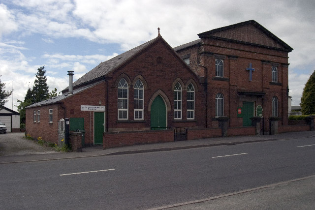
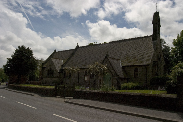
Images are sourced within 2km of 52.985675/-1.404927 or Grid Reference SK4043. Thanks to Geograph Open Source API. All images are credited.

Stile and kissing gate A stile and kissing gate at a field boundary on the footpath to Stanley Common.
Stile and kissing gate
A stile and kissing gate at a field boundary on the footpath to Stanley Common.
Footpath between the fences The start of an old field path now straightened and hemmed in between garden fences.
Footpath between the fences
The start of an old field path now straightened and hemmed in between garden fences.
338 Top Club Stanley Common Ex-Service & Workmen's Club
338 Top Club
Stanley Common Ex-Service & Workmen's Club
Bluebells in the woods Right next to the busy A609, the woodland floor is carpeted with bluebells.
Bluebells in the woods
Right next to the busy A609, the woodland floor is carpeted with bluebells.
The Fallow Field Literally just an empty field, "Solely for the purpose of recreation", managed by Stanley & Stanley Common Parish Council.
The Fallow Field
Literally just an empty field, "Solely for the purpose of recreation", managed by Stanley & Stanley Common Parish Council.
The path through Haynes Park Farm fields
Sitwell Arms Sitwell Arms Public House, Horsley Woodhouse/Woodside, Derbyshire. SK397441
Sitwell Arms
Sitwell Arms Public House, Horsley Woodhouse/Woodside, Derbyshire. SK397441
Morley Smithy Morley Smithy, road junction with Brick Kiln Lane and the A608 Derby to Heanor Road. The Three Horse Shoes public House is also plainly visible.
Morley Smithy
Morley Smithy, road junction with Brick Kiln Lane and the A608 Derby to Heanor Road. The Three Horse Shoes public House is also plainly visible.
Horsley Woodhouse Post Office Horsley Woodhouse Post Office, A609, Horsley Woodhouse, Derbyshire, opposite the Central Methodist Church.
Horsley Woodhouse Post Office
Horsley Woodhouse Post Office, A609, Horsley Woodhouse, Derbyshire, opposite the Central Methodist Church.
Horsley Woodhouse Central Methodist Church Horsley Woodhouse Central Methodist Church, opposite Post Office, A609, Horsley Woodhouse, Derbyshire.
Horsley Woodhouse Central Methodist Church
Horsley Woodhouse Central Methodist Church, opposite Post Office, A609, Horsley Woodhouse, Derbyshire.
Horsley Woodhouse Church Horsley Woodhouse Church, A609, Horsley Woodhouse, Derbyshire SK396448
Horsley Woodhouse Church
Horsley Woodhouse Church, A609, Horsley Woodhouse, Derbyshire SK396448
Cloves Hill, Morley This view from near the top of Cloves Hill is towards Smalley.
Cloves Hill, Morley
This view from near the top of Cloves Hill is towards Smalley.
Brackely Gate Road Junction
Horsley Lodge Golf Club Horsley Lodge golf centre and restaurant - yet another example of a farm and farmland being converted to leisure usage.
Horsley Lodge Golf Club
Horsley Lodge golf centre and restaurant - yet another example of a farm and farmland being converted to leisure usage.
Woodside Road Junction
A fine line of trees near Morleymoor farm
Blackbirds Two day old chicks
Blackbirds
Two day old chicks
Horsley Woodhouse View over open fields towards Woodside and Horsley Lodge Golf Club, with the added bonus of a double rainbow
Horsley Woodhouse
View over open fields towards Woodside and Horsley Lodge Golf Club, with the added bonus of a double rainbow
Show me another place!

Mill Dam Plantation is located at Grid Ref: SK4043 (Lat: 52.985675, Lng: -1.404927)

Administrative County: Derbyshire

District: Amber Valley

Police Authority: Derbyshire

What 3 Words

///attention.thuds.students. Near Kilburn, Derbyshire

Related Wikis

Stainsby House

Stainsby House is an architecturally notable house in Horsley Woodhouse, Derbyshire, England. It was designed by Nottingham architect David Shelley, and...

Brackley Gate

Brackley Gate is a hamlet in the Erewash district, in Derbyshire, England. It forms part of the civil parish of Morley. It is located northeast of Derby...

Smalley, Derbyshire

Smalley is a village on the main A608 Heanor to Derby road in Derbyshire in the East Midlands of England. The population of the civil parish as of the...

Amber Valley

Amber Valley is a local government district with borough status in the east of Derbyshire, England, taking its name from the River Amber. Its council is...

Horsley Woodhouse

Horsley Woodhouse is a village and civil parish in the Amber Valley district of Derbyshire, in the East Midlands of England. The population of the civil...

Stanley Common

Stanley Common is a village in the south-east of Derbyshire in the East Midlands of England.It is situated on the A609 main road between Ilkeston and Derby...

Horsley, Derbyshire

Horsley is a small village in the Amber Valley district of Derbyshire, roughly 5 miles north of the City of Derby, England, with a population of 973 at...

Morley, Derbyshire

Morley is a village and civil parish within the Borough of Erewash in Derbyshire, England. It is on the eastern side of Morley Moor, with Morley Smithy...

Nearby Amenities

Located within 500m of 52.985675,-1.404927
Traffic Signals
Source: survey
Lat/Long: 52.982136/-1.4015191
Crossing
Crossing: traffic_signals
Source: survey
Lat/Long: 52.9819961/-1.4018076
Barrier: stile
Step Count: 2
Stile: stepover
Lat/Long: 52.9835793/-1.4096919
Bus Stop
Rose & Crown
Bus: yes
Public Transport: platform
Shelter: no
Lat/Long: 52.9816275/-1.402241
Traffic Sign: give_way
Lat/Long: 52.984903/-1.4108654
Post Box
Collection Times: Mo-Fr 09:00; Sa 07:00
Operator: Royal Mail
Operator Wikidata: Q638098
Post Box Manufacturer: Lion Foundry Co Ltd, Kirkintilloch
Post Box Type: lamp
Ref: DE7 484D
Royal Cypher: EIIR
Royal Cypher Wikidata: Q33102113
Source: survey
Lat/Long: 52.9842896/-1.4112441
Crossing
Crossing: traffic_signals
Source: survey
Lat/Long: 52.9822101/-1.4016977
Note: 40 mph speed limit sign SE-bound
Traffic Sign Forward: GB:670[40]
Lat/Long: 52.9820358/-1.401291
Ele: 91.2100830
Lat/Long: 52.9889329/-1.409163
Ele: 92.4118652
Lat/Long: 52.9889948/-1.409348
Ele: 87.1245117
Lat/Long: 52.9882173/-1.4075413
Ele: 90.2487793
Lat/Long: 52.9882475/-1.4065824
Ele: 86.1632080
Lat/Long: 52.9880516/-1.4082041
Ele: 86.8841553
Lat/Long: 52.9881368/-1.4082962
Ele: 87.1245117
Lat/Long: 52.9882846/-1.4084187
Ele: 89.2874756
Lat/Long: 52.988514/-1.4086417
Barrier: stile
Ele: 98.9006348
Material: wood
Stile: stepover
Lat/Long: 52.988554/-1.4040088
Ele: 93.8537598
Lat/Long: 52.9881105/-1.4052197
Post Box
Collection Times: Mo-Fr 17:00; Sa 08:00
Operator: Royal Mail
Operator Wikidata: Q638098
Post Box Manufacturer: W.T. Allen & Co. London
Post Box Type: wall
Ref: DE7 1345
Royal Cypher: GVIR
Royal Cypher Wikidata: Q33102169
Source: survey
Lat/Long: 52.9823392/-1.401858
Booth: K6
Disused Amenity: telephone
Note: No sign of a telephone here any more
Note 2: Lasted checked January 2020
Source: survey
Lat/Long: 52.9842517/-1.4114412
Barrier: stile
Ele: 82.0000000
Stile: squeezer
Lat/Long: 52.9852784/-1.4118384
Ele: 81.0000000
Lat/Long: 52.9853503/-1.4113635
Ele: 82.0000000
Lat/Long: 52.9853378/-1.4112951
Barrier: stile
Step Count: 2
Stile: stepover
Lat/Long: 52.9843959/-1.4094257
Bus Stop
Smalley / Woodside
Bus: yes
Naptan AtcoCode: 1000DSRCW503
Naptan Bearing: NW
Naptan CommonName: New Farm
Naptan Indicator: Adj
Naptan Landmark: New Farm
Naptan NaptanCode: dbsdjdam
Naptan Street: Woodside
Public Transport: platform
Shelter: no
Lat/Long: 52.9832847/-1.4064301
Bench
Backrest: yes
Lat/Long: 52.9847761/-1.4101005
Bus Stop
Smalley / Cloves Hill / Woodside Farm
Bus: yes
Naptan AtcoCode: 1000DSCH1677
Naptan NaptanCode: dbsdmajm
Public Transport: platform
Shelter: yes
Source: survey
Lat/Long: 52.9843913/-1.4111702
Bus Stop
Woodside
Bus: yes
Naptan AtcoCode: 1000DSCHW171
Naptan NaptanCode: dbsdmama
Public Transport: platform
Shelter: yes
Source: survey
Lat/Long: 52.9845671/-1.411166
Waste Basket
Lat/Long: 52.9826017/-1.400604
Bus Stop
Rose & Crown
Bus: yes
Naptan AtcoCode: 1000DSMR4497
Naptan Bearing: NE
Naptan CommonName: Rose and Crown
Naptan Indicator: Opp
Naptan Landmark: Rose and Crown
Naptan NaptanCode: dbsdjmpj
Naptan Street: Main Road
Public Transport: platform
Shelter: yes
Lat/Long: 52.9825759/-1.400663
Bench
Backrest: no
Lat/Long: 52.9819937/-1.4009902
Grit Bin
Lat/Long: 52.9848108/-1.4104745
Bus Stop
Smalley Green Farm
Bus: yes
Naptan AtcoCode: 1000DSMR4499
Naptan NaptanCode: dbsdjmpt
Public Transport: platform
Lat/Long: 52.9840462/-1.3980927
Bus Stop
Rose & Crown
Bus: yes
Naptan AtcoCode: 1000DSIR5909
Naptan Bearing: E
Naptan CommonName: Rose and Crown
Naptan Indicator: E-bound
Naptan Landmark: Rose and Crown
Naptan NaptanCode: dbsdamjw
Naptan Street: Ilkeston Road
Public Transport: platform
Lat/Long: 52.9819404/-1.400966
The data included in this document is from www.openstreetmap.org. The data is made available under ODbL.

Have you been to Mill Dam Plantation?

Leave your review of Mill Dam Plantation below (or comments, questions and feedback).