Thorpe Rough

Wood, Forest in Warwickshire Stratford-on-Avon

England

Thorpe Rough

Pudding Bag Lane
Pudding Bag Lane Credit: AJD

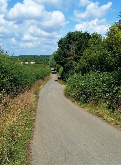
Thorpe Rough is a picturesque woodland area located in the county of Warwickshire, England. It covers an extensive area of approximately 200 acres and is renowned for its natural beauty and rich biodiversity. The woodland is situated near the village of Thorpe, which is a rural community known for its tranquility and charm.

The forest is primarily composed of native deciduous trees such as oak, beech, and birch, which create a stunning display of colors throughout the seasons. These trees form a dense canopy, providing a habitat for a wide range of wildlife. Visitors to Thorpe Rough may be fortunate enough to spot various bird species, including woodpeckers, owls, and songbirds, as well as small mammals like foxes, badgers, and rabbits.

The woodland is crisscrossed by a network of well-maintained footpaths and trails, making it a popular destination for walkers, hikers, and nature enthusiasts. These paths lead visitors through the heart of the forest, allowing them to immerse themselves in the peaceful ambiance and admire the natural wonders that Thorpe Rough has to offer.

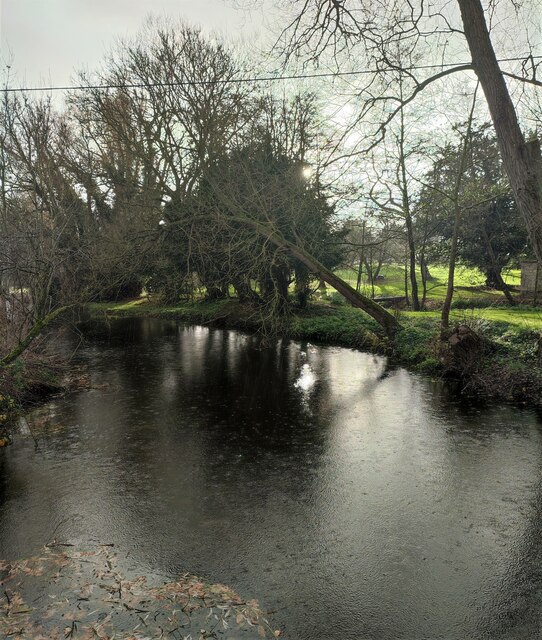
Thorpe Rough also boasts a small lake, known as Thorpe Lake, which adds to the charm of the area. The lake is home to various aquatic plants and creatures, and it provides a tranquil spot for relaxation and reflection.

Overall, Thorpe Rough in Warwickshire is a haven for those seeking solace in nature. Its woodland, trails, and lake make it an ideal destination for outdoor activities, wildlife observation, and unwinding amidst the beauty of the natural world.

If you have any feedback on the listing, please let us know in the comments section below.

Thorpe Rough Images

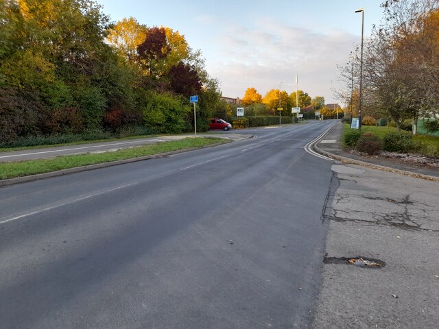
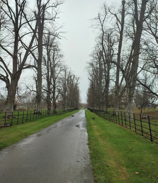
Images are sourced within 2km of 52.259478/-1.4147494 or Grid Reference SP4062. Thanks to Geograph Open Source API. All images are credited.

Pudding Bag Lane
Pudding Bag Lane
Daventry Street, Southam
Coventry Street at the corner of Southam High Street
Shops on Southam High Street
Southam Fire Station
Merestone Close, Southam From Coventry Street
Merestone Close, Southam
From Coventry Street
Laser Hand Tools on Bourne End, Southam They make tools for car maintenance <span class="nowrap"><a title="https://www.lasertools.co.uk/" rel="nofollow ugc noopener" href="https://www.lasertools.co.uk/">Link</a><img style="margin-left:2px;" alt="External link" title="External link - shift click to open in new window" src="https://s1.geograph.org.uk/img/external.png" width="10" height="10"/></span>
Laser Hand Tools on Bourne End, Southam
They make tools for car maintenance LinkExternal link
Alumet offices on Bourne End, Southam They specialise in cladding buildings, including this one which was a dull brick 1970s style under the plastic tiles. <span class="nowrap"><a title="https://www.alumet.co.uk/" rel="nofollow ugc noopener" href="https://www.alumet.co.uk/">Link</a><img style="margin-left:2px;" alt="External link" title="External link - shift click to open in new window" src="https://s1.geograph.org.uk/img/external.png" width="10" height="10"/></span>
Alumet offices on Bourne End, Southam
They specialise in cladding buildings, including this one which was a dull brick 1970s style under the plastic tiles. LinkExternal link
Kineton Road, Southam By the industrial estate
Kineton Road, Southam
By the industrial estate
Kineton Road. Southam
Avenue of Trees The drive to Stoneythorpe Hall.
Avenue of Trees
The drive to Stoneythorpe Hall.
River Itchen above Stoneythorpe Weir
HS2 Long Itchington Wood Tunnel-building site from the air It looks like this is the south east portal of the one mile long Long Itchington Wood Tunnel. Seen from a Birmingham-bound flight from Prague. Dallas Burston Polo Club <span class="nowrap"><a title="https://dbpoloclub.com/" rel="nofollow ugc noopener" href="https://dbpoloclub.com/">Link</a><img style="margin-left:2px;" alt="External link" title="External link - shift click to open in new window" src="https://s1.geograph.org.uk/img/external.png" width="10" height="10"/></span> appears to have lost some ground to the development.

See the north west portal site here <a href="https://www.geograph.org.uk/photo/7097452">SP3863 : HS2 Long Itchington Wood Tunnel-building site from the air</a>.

See both ends here <a href="https://www.geograph.org.uk/photo/7103335">SP3961 : HS2 Long Itchington Wood Tunnel-building site from the air</a>.
HS2 Long Itchington Wood Tunnel-building site from the air
It looks like this is the south east portal of the one mile long Long Itchington Wood Tunnel. Seen from a Birmingham-bound flight from Prague. Dallas Burston Polo Club LinkExternal link appears to have lost some ground to the development. See the north west portal site here SP3863 : HS2 Long Itchington Wood Tunnel-building site from the air. See both ends here SP3961 : HS2 Long Itchington Wood Tunnel-building site from the air.
St James' parish church, Southam
Southam Library from the High Street
Southam Library
Southam Library
Southam Pharmacy Originally the Manor House: Grade II listed: mid to late 16th century.
Southam Pharmacy
Originally the Manor House: Grade II listed: mid to late 16th century.
Show me another place!

Thorpe Rough is located at Grid Ref: SP4062 (Lat: 52.259478, Lng: -1.4147494)

Administrative County: Warwickshire

District: Stratford-on-Avon

Police Authority: Warwickshire

What 3 Words

///trembles.romance.warrior. Near Southam, Warwickshire

Related Wikis

Bascote

Bascote is a hamlet in rural Warwickshire, England. Population details can be found under Long Itchington. The nearest town is Southam, 1.5 miles away...

Dallas Burston Polo Club

The Dallas Burston Polo Club is a 600 acre polo club based near the market town of Southam, Warwickshire. Opened in 1999, and merged with the Stoneleigh...

Kenilworth and Southam (UK Parliament constituency)

Kenilworth and Southam is a constituency in Warwickshire, England represented in the House of Commons of the UK Parliament since 2010 by Jeremy Wright...

Southam Rural District

Southam Rural District was a rural district in the county of Warwickshire, England. It was created in 1894 and consisted of 26 parishes, a further six...

Ufton

Ufton is a small village and civil parish in the Stratford-on-Avon District of Warwickshire, England. The population taken from the 2011 census was 319...

Bascote Locks

Bascote locks form a flight of four locks on the Grand Union Canal, which is part of the British canal system and connects London and Birmingham. The lock...

Southam

Southam () is a market town and civil parish in the Stratford-on-Avon district of Warwickshire, England. Southam is situated on the River Stowe, which...

Southam Heritage Collection

The Southam Heritage Collection contains artefacts, documents, and photographs relating to the history of the town of Southam, Warwickshire, England, including...

Nearby Amenities

Located within 500m of 52.259478,-1.4147494
Barrier: kissing_gate
Lat/Long: 52.2579643/-1.409873
Barrier: kissing_gate
Lat/Long: 52.2586434/-1.4119818
Barrier: kissing_gate
Lat/Long: 52.2586362/-1.4117959
Barrier: kissing_gate
Lat/Long: 52.2596468/-1.4101862
Barrier: kissing_gate
Lat/Long: 52.2570503/-1.408842
The data included in this document is from www.openstreetmap.org. The data is made available under ODbL.

Have you been to Thorpe Rough?

Leave your review of Thorpe Rough below (or comments, questions and feedback).