Stoney Thorpe Hall
Heritage Site in Warwickshire Stratford-on-Avon
England
Stoney Thorpe Hall
Stoney Thorpe Hall, located in Warwickshire, England, is a historic estate with significant heritage value. The hall, which dates back to the 16th century, is a prime example of Elizabethan architecture and is renowned for its unique design and intricate details.
The hall was originally built for the wealthy Throckmorton family, who were prominent landowners in the area. It served as their ancestral home for several generations. The architecture of Stoney Thorpe Hall reflects the grandeur and opulence of the Elizabethan era, with its impressive façade, large mullioned windows, and ornate stone carvings.
The hall underwent several renovations and additions over the centuries, including the addition of a stunning Italianate garden in the 18th century. The garden, with its neatly trimmed hedges, statues, and flower beds, is a picturesque sight and adds to the overall charm of the estate.
Stoney Thorpe Hall has witnessed many significant historical events throughout its existence. During the English Civil War, it served as a base for the Royalist forces. The hall also played a role in the Catholic emancipation movement, as the Throckmorton family were known for their staunch Catholic beliefs.
Today, Stoney Thorpe Hall is a protected heritage site and is open to the public. Visitors can explore the hall's rich history by taking guided tours of its beautifully preserved rooms and gardens. The estate also hosts various events and exhibitions, showcasing the cultural and historical significance of the area.
If you have any feedback on the listing, please let us know in the comments section below.
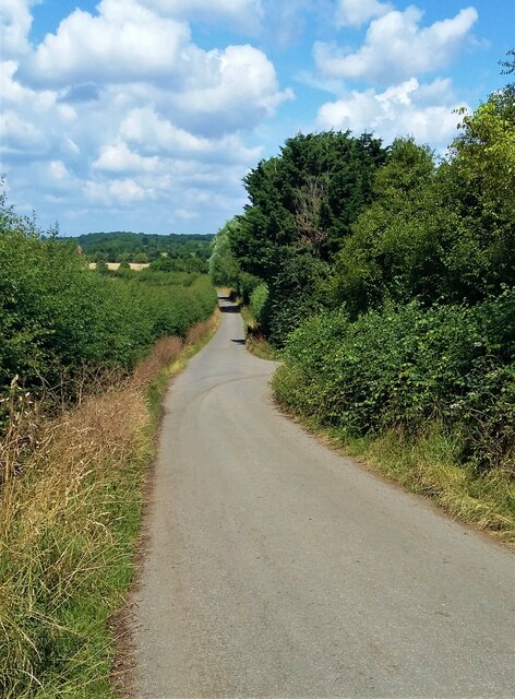
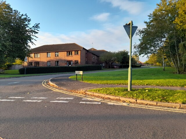
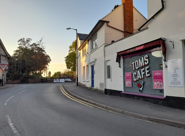
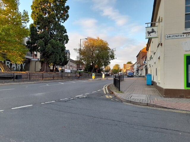
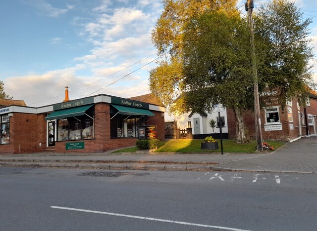
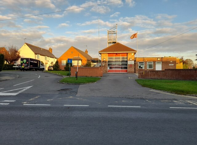
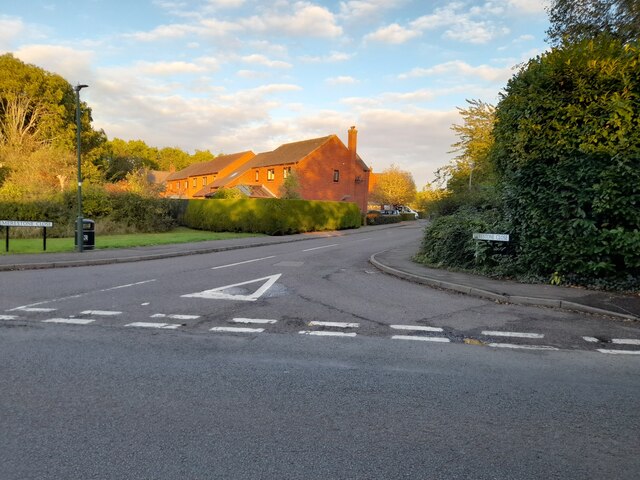
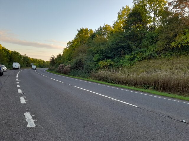
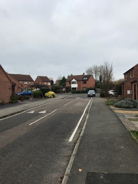
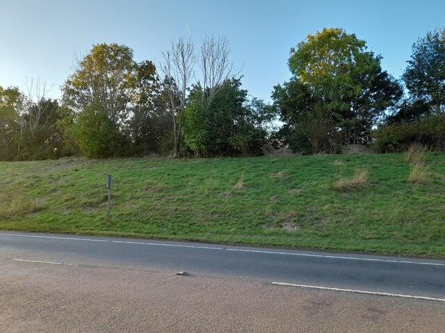
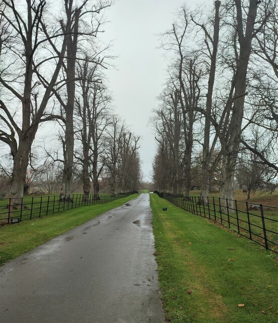
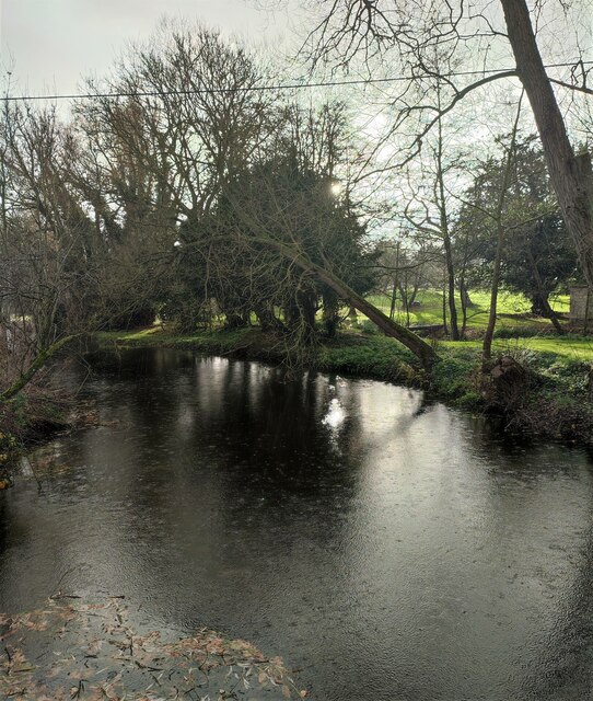
Stoney Thorpe Hall Images
Images are sourced within 2km of 52.258/-1.407 or Grid Reference SP4062. Thanks to Geograph Open Source API. All images are credited.


Stoney Thorpe Hall is located at Grid Ref: SP4062 (Lat: 52.258, Lng: -1.407)
Administrative County: Warwickshire
District: Stratford-on-Avon
Police Authority: Warwickshire
What 3 Words
///officers.artichoke.mergers. Near Southam, Warwickshire
Nearby Locations
Related Wikis

Bascote
Bascote is a hamlet in rural Warwickshire, England. Population details can be found under Long Itchington. The nearest town is Southam, 1.5 miles away...
Dallas Burston Polo Club
The Dallas Burston Polo Club is a 600 acre polo club based near the market town of Southam, Warwickshire. Opened in 1999, and merged with the Stoneleigh...

Kenilworth and Southam (UK Parliament constituency)
Kenilworth and Southam is a constituency in Warwickshire, England represented in the House of Commons of the UK Parliament since 2010 by Jeremy Wright...
Southam Rural District
Southam Rural District was a rural district in the county of Warwickshire, England. It was created in 1894 and consisted of 26 parishes, a further six...

Southam
Southam () is a market town and civil parish in the Stratford-on-Avon district of Warwickshire, England. Southam is situated on the River Stowe, which...
Southam Heritage Collection
The Southam Heritage Collection contains artefacts, documents, and photographs relating to the history of the town of Southam, Warwickshire, England, including...
Southam United F.C.
Southam United Football Club is a football club based in Southam, Warwickshire. They are members of the Hellenic League Division One and play at Bobby...
Ufton
Ufton is a small village and civil parish in the Stratford-on-Avon District of Warwickshire, England. The population taken from the 2011 census was 319...
Nearby Amenities
Located within 500m of 52.258,-1.407Have you been to Stoney Thorpe Hall?
Leave your review of Stoney Thorpe Hall below (or comments, questions and feedback).