Stonewall
Heritage Site in Kent
England
Stonewall
Stonewall, Kent is a significant heritage site located in the southeastern part of England. This historic landmark holds immense cultural, architectural, and historical importance. Situated in the tranquil countryside of Kent, Stonewall stands as a testament to the region's rich heritage and attracts numerous visitors each year.
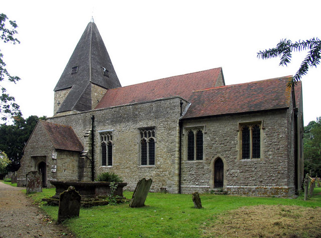
The main feature of Stonewall is its well-preserved medieval castle, which dates back to the 13th century. This imposing fortress was originally built by the influential de Monchensey family and played a crucial role in defending the region during various conflicts throughout its history. The castle's sturdy stone walls, imposing towers, and intricate architecture are a captivating sight for history enthusiasts and architectural admirers alike.
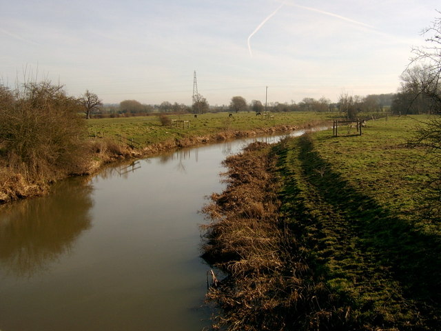
In addition to the castle, the site also boasts beautiful gardens and expansive grounds that offer visitors a peaceful retreat away from the hustle and bustle of everyday life. These meticulously maintained gardens provide a perfect backdrop for leisurely strolls, picnics, or simply soaking in the serenity of the surroundings.
Stonewall's heritage significance extends beyond its physical structures. The site has witnessed numerous historical events and has been associated with notable figures throughout the centuries. It has served as a residence for various aristocratic families, witnessed battles during the English Civil War, and even played a role in the development of the nearby town.
Overall, Stonewall, Kent offers visitors a unique opportunity to delve into England's rich history and experience the grandeur of a medieval castle. Its picturesque surroundings and cultural significance make it a must-visit destination for history buffs, architecture enthusiasts, and anyone seeking a glimpse into the past.
If you have any feedback on the listing, please let us know in the comments section below.
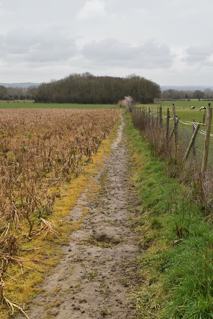
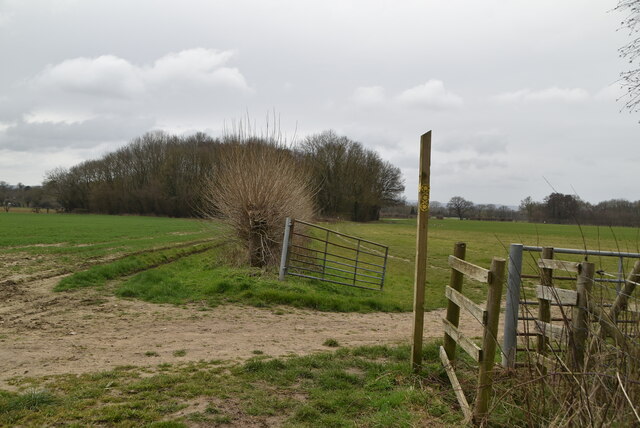
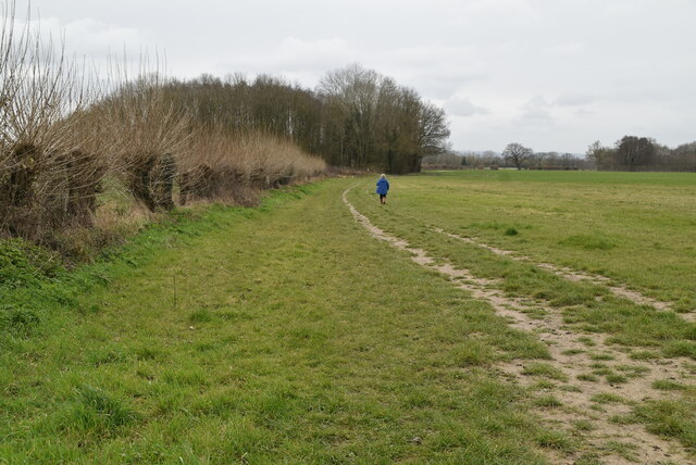
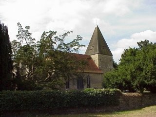
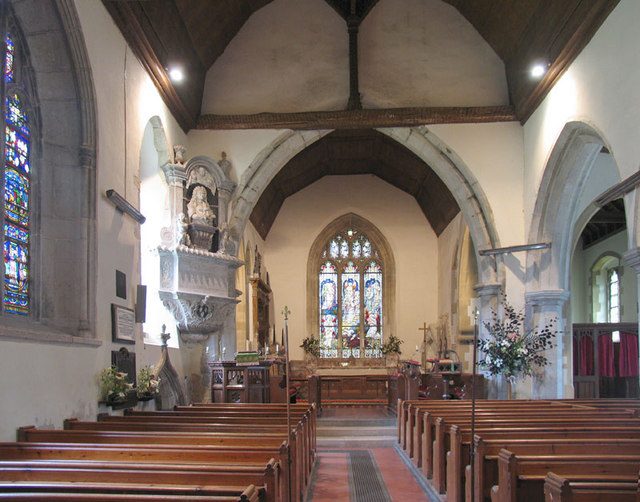
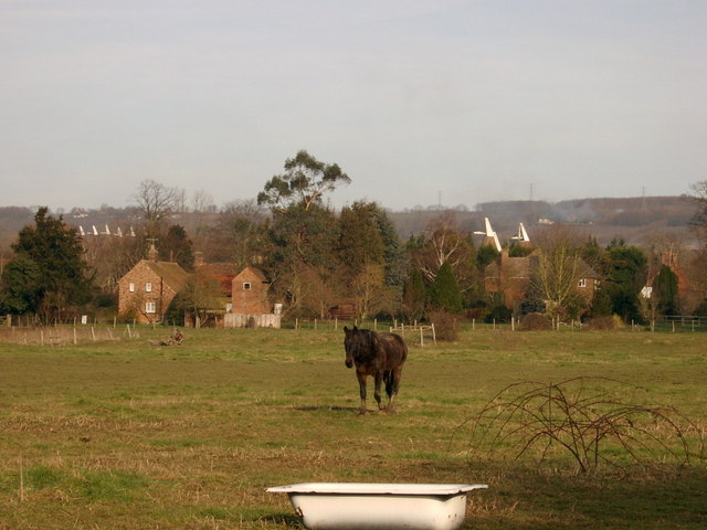
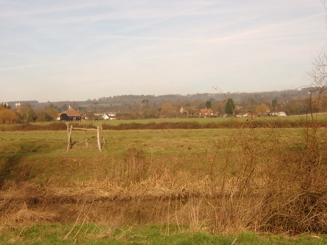
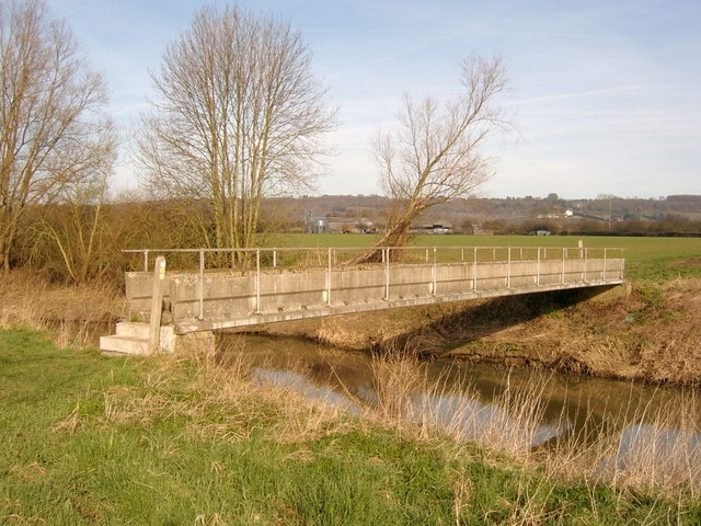
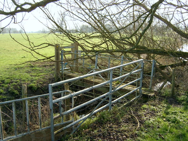
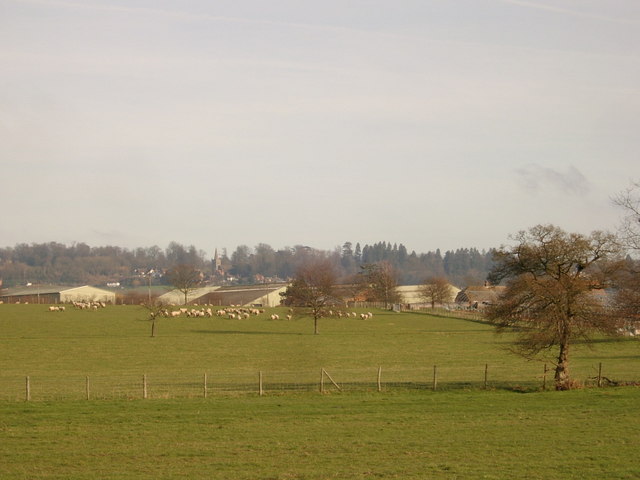
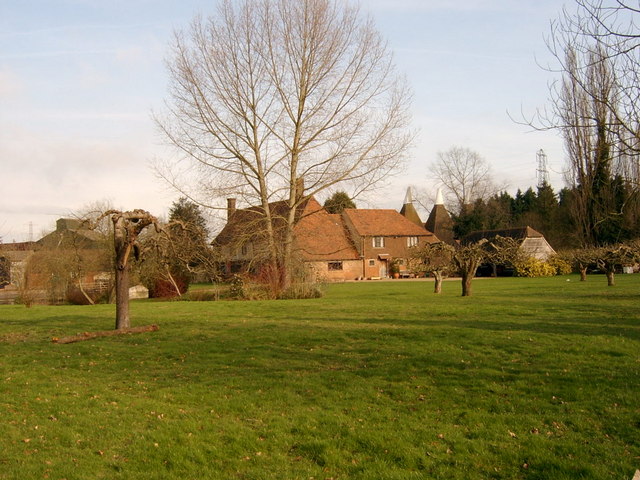
Stonewall Images
Images are sourced within 2km of 51.208/0.47 or Grid Reference TQ7248. Thanks to Geograph Open Source API. All images are credited.
Stonewall is located at Grid Ref: TQ7248 (Lat: 51.208, Lng: 0.47)
What 3 Words
///doctors.nation.occur. Near Yalding, Kent
Nearby Locations
Related Wikis

Chainhurst
Chainhurst is a wealden village in Kent, England, and is part of Marden civil parish and Maidstone District. It is about 2 miles (3.2 km) north of Marden...

Hunton, Kent
Hunton is a civil parish and village near the town of Maidstone in Kent, England. == Toponymy == The village's first recorded name was Huntindone in the...

St Mary's Church, Hunton
St Mary's Church is a parish church in Hunton, Kent. It was begun in the late 11th or the 12th century and is a Grade I listed building. == Building... ==
Gennings Park
Gennings Park (sometimes spelt Jennings, and referred to as Gennings House or Gennings Court), located on Lughorse Lane near Hunton, Kent, is a Grade II...
Benover
Benover is a rural settlement in the Maidstone district of Kent, in the south east of England. It lies on the B2162 road and is almost ten miles (16 km...

Collier Street
Collier Street is a small village and civil parish in the Borough of Maidstone in Kent, England. The village of Collier Street includes St Margaret's Church...

St Margaret's Church, Collier Street
St Margaret's Church is a parish church in the village of Collier Street, Kent, England. It is a Grade II listed building. == Building == St Margaret's...

Yalding Organic Gardens
Yalding Gardens were demonstration gardens open to the public near Yalding, Kent in April 1995. Originally established by the organic gardening charity...
Nearby Amenities
Located within 500m of 51.208,0.47Have you been to Stonewall?
Leave your review of Stonewall below (or comments, questions and feedback).