Pingle Plantation
Wood, Forest in Leicestershire North West Leicestershire
England
Pingle Plantation
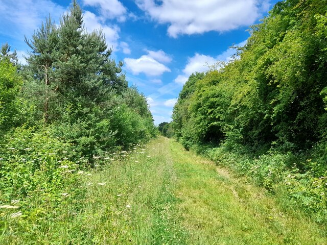
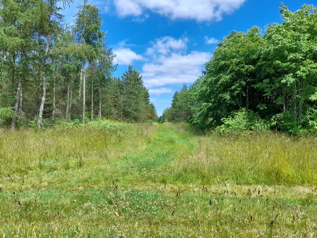
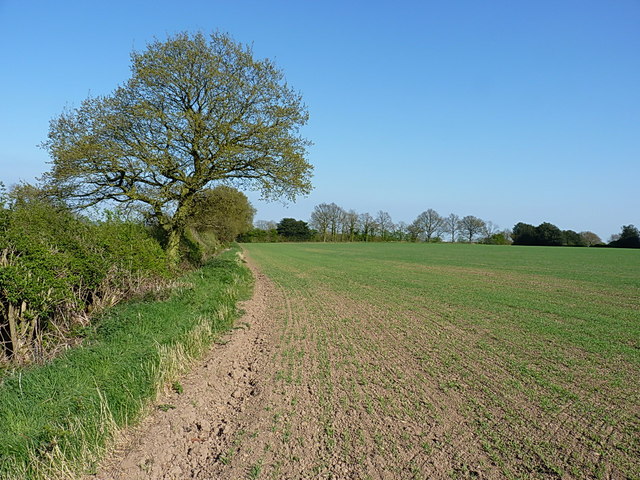
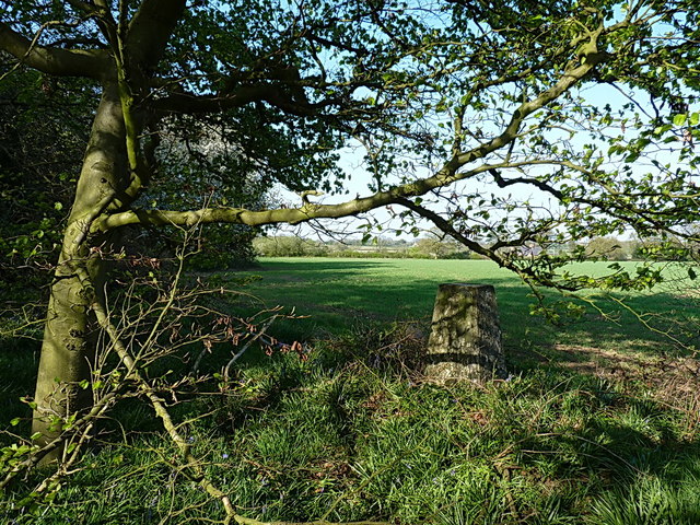
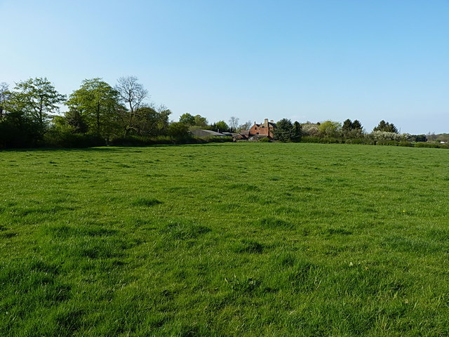
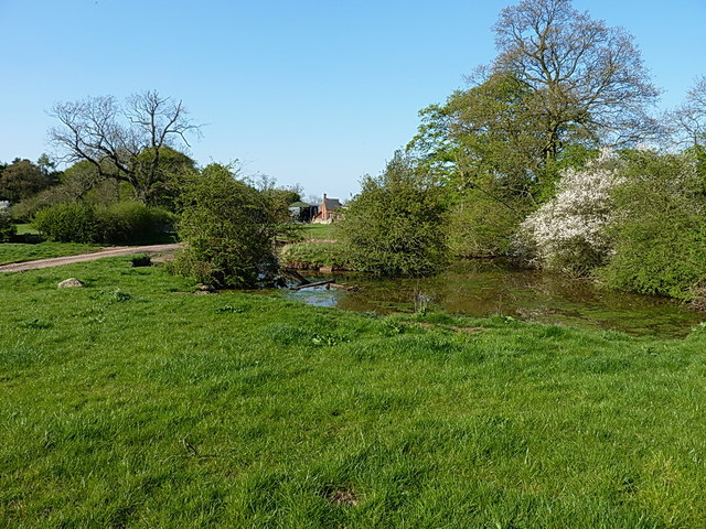
Pingle Plantation is a pristine woodland located in Leicestershire, England. Situated on the outskirts of the village of Woodhouse Eaves, this enchanting forest covers an area of approximately 50 acres. The plantation is managed by the Woodland Trust, a renowned conservation charity dedicated to preserving and restoring woodlands across the United Kingdom.
Pingle Plantation boasts a diverse range of tree species, including oak, birch, beech, and coniferous trees. The rich biodiversity of the woodland supports a multitude of wildlife, with an array of bird species, small mammals, and insects calling it home. The forest floor is adorned with a vibrant carpet of wildflowers during the spring and summer months, attracting butterflies and bees.
The plantation offers a tranquil escape for nature enthusiasts, hikers, and dog walkers alike. Crisscrossed by well-maintained footpaths, visitors can wander through the woodland, immersing themselves in its natural beauty. The peaceful ambiance is further enhanced by the soothing sounds of birdsong and the rustling of leaves in the gentle breeze.
Pingle Plantation also provides recreational facilities, including picnic areas and a children's play area, making it an ideal spot for families to enjoy a day out in the heart of nature. Additionally, the woodland serves as an educational resource, with information boards strategically placed throughout, offering insights into the local flora and fauna.
Overall, Pingle Plantation is a cherished natural gem in Leicestershire, offering a haven of tranquility and an opportunity to connect with the wonders of the natural world.
If you have any feedback on the listing, please let us know in the comments section below.
Pingle Plantation Images
Images are sourced within 2km of 52.725811/-1.4240757 or Grid Reference SK3814. Thanks to Geograph Open Source API. All images are credited.


Pingle Plantation is located at Grid Ref: SK3814 (Lat: 52.725811, Lng: -1.4240757)
Administrative County: Leicestershire
District: North West Leicestershire
Police Authority: Leicestershire
What 3 Words
///headlight.nurtures.decent. Near Ravenstone, Leicestershire
Nearby Locations
Related Wikis

Alton, Leicestershire
Alton is a deserted medieval village between Coalville and Ashby-de-la-Zouch, in North West Leicestershire, England. The earliest documentation of the...

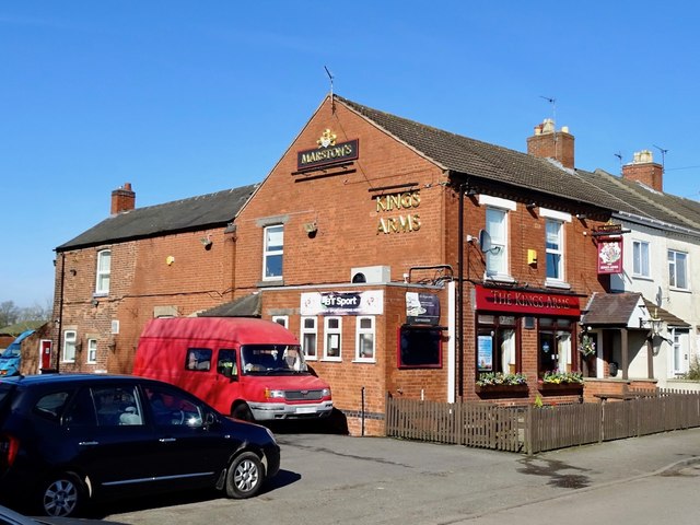
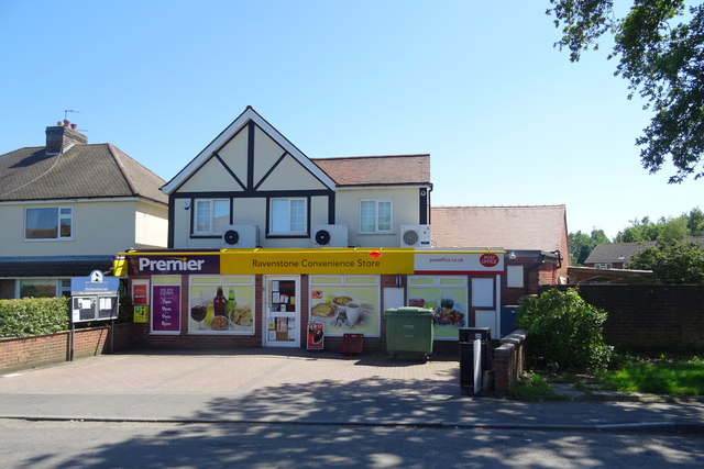
Ravenstone, Leicestershire
Ravenstone is a village and former civil parish, now in the parish of Ravenstone with Snibstone, in the North West Leicestershire district, in the county...

Queen Elizabeth Diamond Jubilee Wood
The Queen Elizabeth Diamond Jubilee Wood (initially known as the Flagship Diamond Wood) is a woodland in Leicestershire, UK created in 2012. Covering 186...
Ashby de la Zouch Rural District
Ashby de la Zouch Rural District was a rural district in England, near Ashby de la Zouch (which was an urban district). It was formed in 1894 along with...
Ravenstone with Snibston
Ravenstone with Snibston is a civil parish in the North West Leicestershire district of Leicestershire, England. According to the 2001 census it had a...

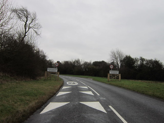
Normanton le Heath
Normanton le Heath is a village and civil parish situated between the parishes of Packington, Ravenstone and Heather in North West Leicestershire, England...
Coleorton Wood
Coleorton Wood is a woodland in the village of Coleorton, near Coalville in northwest Leicestershire, England. It is a six-hectare (15-acre) mixed woodland...
Swannington railway station
Swannington railway station was a railway station at Swannington in North West Leicestershire, England. Swannington has had two railway stations. The first...
Nearby Amenities
Located within 500m of 52.725811,-1.4240757Have you been to Pingle Plantation?
Leave your review of Pingle Plantation below (or comments, questions and feedback).