Quaker's Wood
Wood, Forest in Leicestershire North West Leicestershire
England
Quaker's Wood
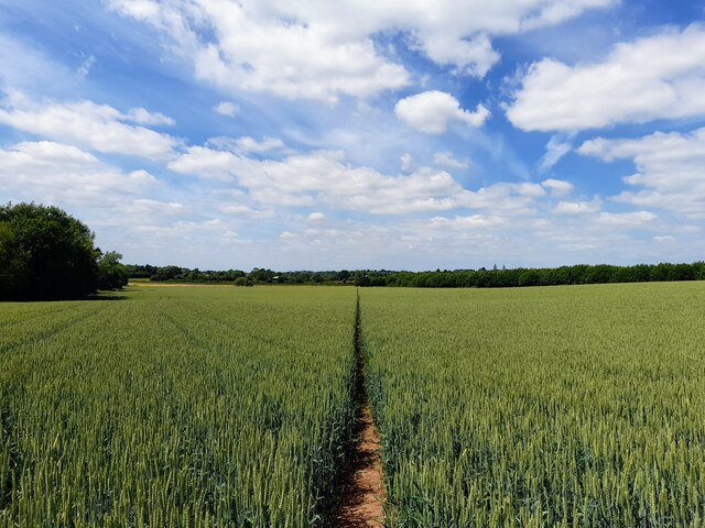
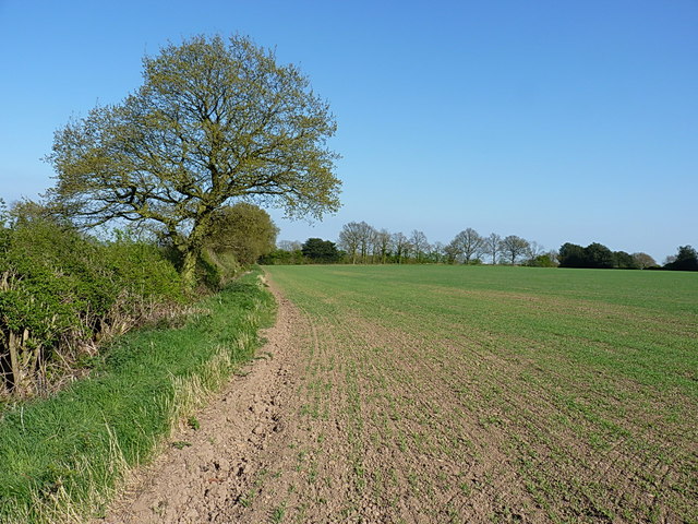
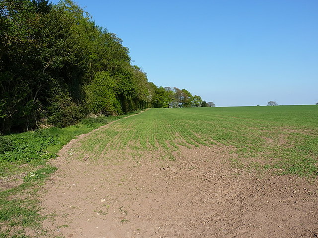
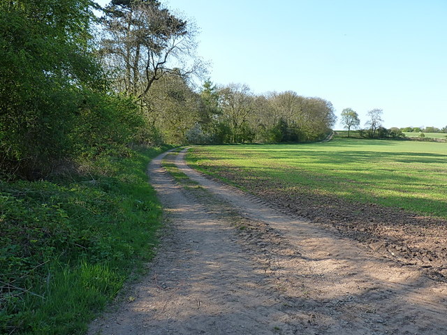
Quaker's Wood is a serene and captivating woodland located in Leicestershire, England. Covering an area of approximately 50 acres, this enchanting forest is nestled within the heart of the Charnwood Forest, offering visitors a tranquil escape from the bustling city life.
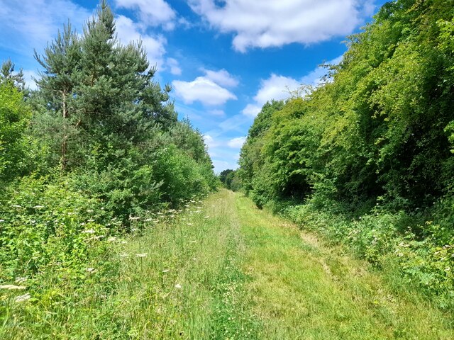
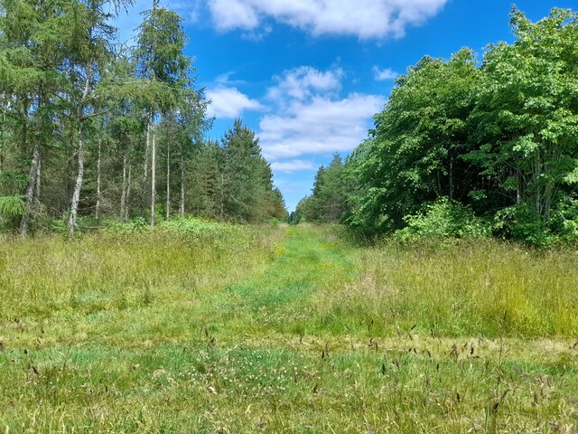
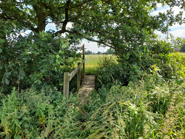
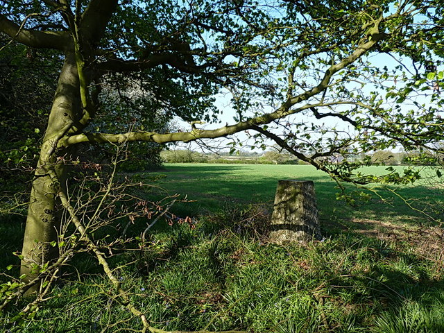
As you enter Quaker's Wood, you are immediately greeted by a breathtaking display of lush greenery and towering trees. The woodland is predominantly composed of oak, birch, and beech trees, creating a diverse and vibrant ecosystem. These ancient trees provide a haven for a plethora of wildlife, including squirrels, badgers, and a variety of bird species.
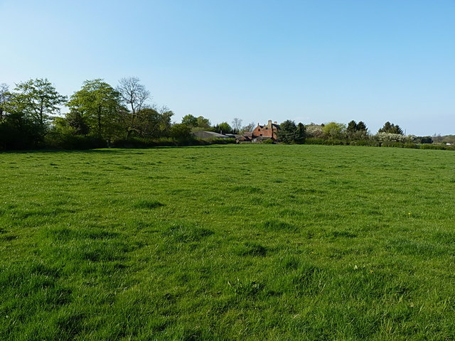
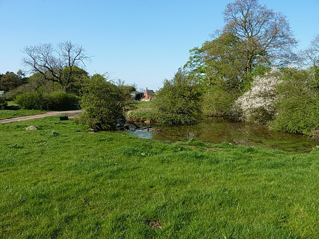
The woodland is crisscrossed with well-maintained footpaths and trails, allowing visitors to explore its beauty at their own pace. The pathways wind through the forest, leading you to hidden clearings, babbling brooks, and picturesque ponds. These natural features add to the charm and allure of Quaker's Wood, making it a popular spot for nature enthusiasts, hikers, and photographers.
Quaker's Wood also has a rich historical significance. In the 17th century, the forest was a meeting place for the Quaker religious group, hence its name. The Quakers used the peaceful surroundings of the woodland to hold their gatherings and worship, leaving a lasting imprint on the area.
Overall, Quaker's Wood is a captivating destination that offers a harmonious blend of natural beauty and historical significance. Whether you are seeking solace in nature, embarking on an adventure, or simply looking to embrace the tranquility of the forest, Quaker's Wood is sure to leave a lasting impression on all who visit.
If you have any feedback on the listing, please let us know in the comments section below.
Quaker's Wood Images
Images are sourced within 2km of 52.724965/-1.4313866 or Grid Reference SK3814. Thanks to Geograph Open Source API. All images are credited.


Quaker's Wood is located at Grid Ref: SK3814 (Lat: 52.724965, Lng: -1.4313866)
Administrative County: Leicestershire
District: North West Leicestershire
Police Authority: Leicestershire
What 3 Words
///exclusive.sleep.evoke. Near Ravenstone, Leicestershire
Nearby Locations
Related Wikis

Alton, Leicestershire
Alton is a deserted medieval village between Coalville and Ashby-de-la-Zouch, in North West Leicestershire, England. The earliest documentation of the...

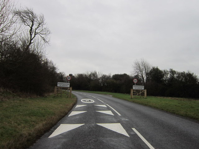
Normanton le Heath
Normanton le Heath is a village and civil parish situated between the parishes of Packington, Ravenstone and Heather in North West Leicestershire, England...

Queen Elizabeth Diamond Jubilee Wood
The Queen Elizabeth Diamond Jubilee Wood (initially known as the Flagship Diamond Wood) is a woodland in Leicestershire, UK created in 2012. Covering 186...
Ashby de la Zouch Rural District
Ashby de la Zouch Rural District was a rural district in England, near Ashby de la Zouch (which was an urban district). It was formed in 1894 along with...

Ravenstone, Leicestershire
Ravenstone is a village and former civil parish, now in the parish of Ravenstone with Snibstone, in the North West Leicestershire district, in the county...

Packington
Packington is a village and civil parish in the district of North West Leicestershire. It is situated close to the A42 road and the towns of Ashby de la...
Ravenstone with Snibston
Ravenstone with Snibston is a civil parish in the North West Leicestershire district of Leicestershire, England. According to the 2001 census it had a...
Coleorton Wood
Coleorton Wood is a woodland in the village of Coleorton, near Coalville in northwest Leicestershire, England. It is a six-hectare (15-acre) mixed woodland...
Nearby Amenities
Located within 500m of 52.724965,-1.4313866Have you been to Quaker's Wood?
Leave your review of Quaker's Wood below (or comments, questions and feedback).