Daisy Plantation
Wood, Forest in Leicestershire North West Leicestershire
England
Daisy Plantation
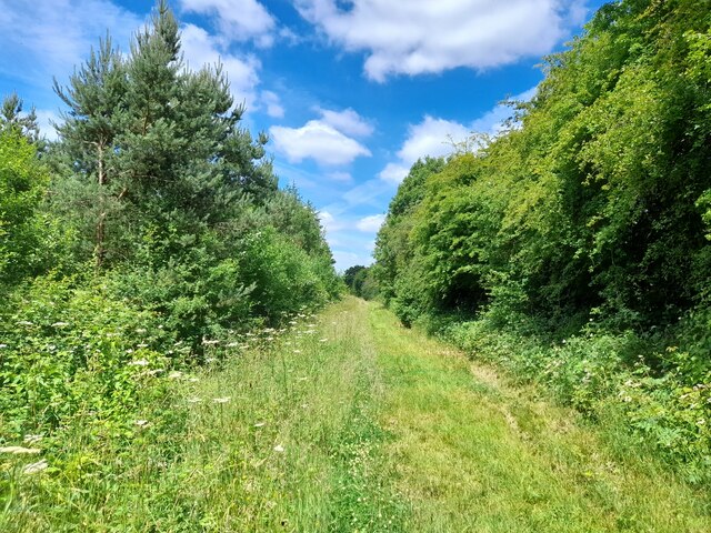
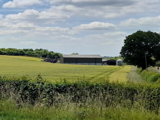
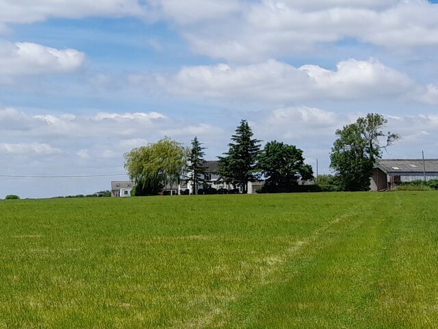
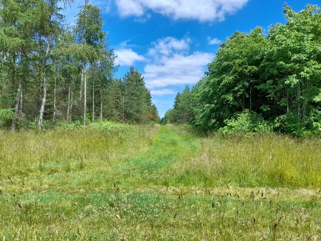
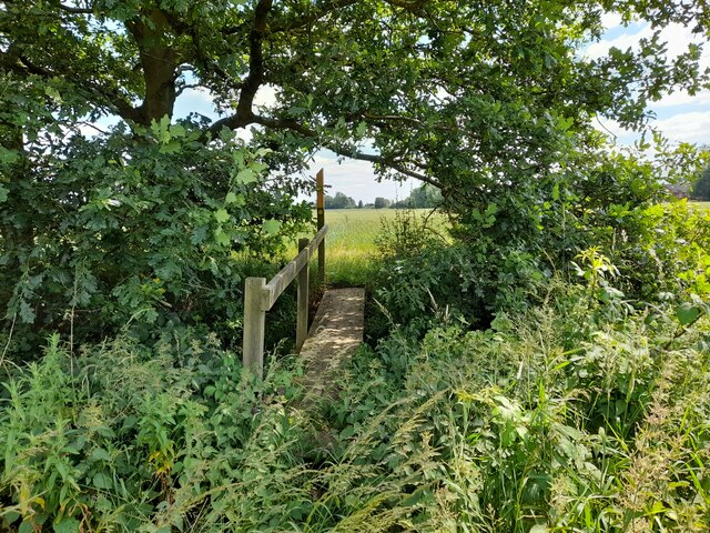
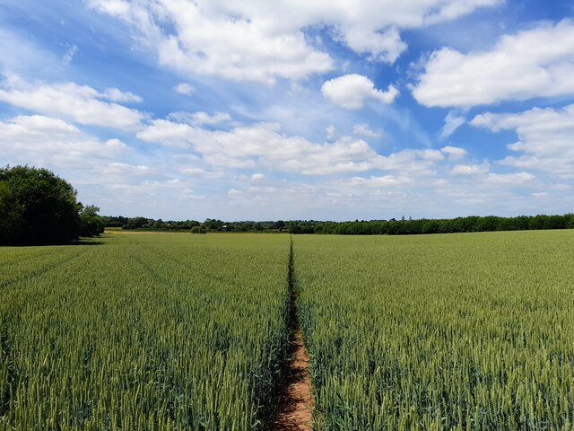
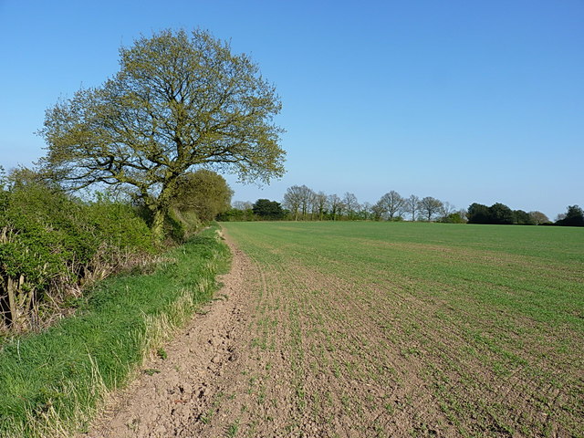
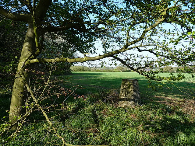
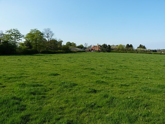
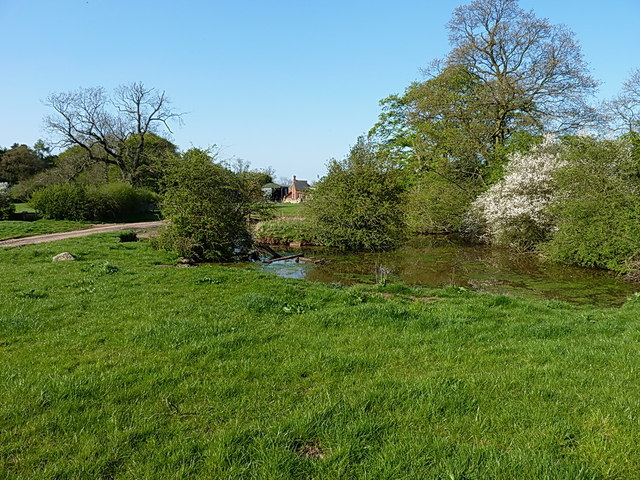
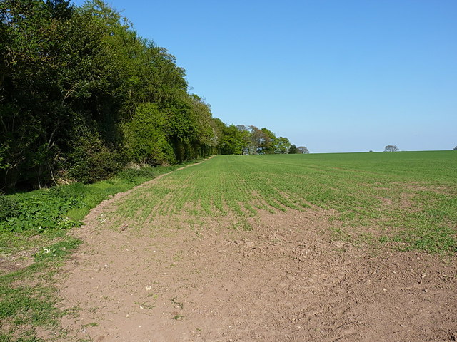
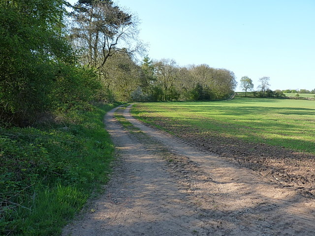
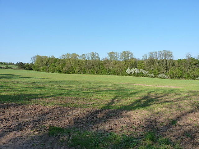
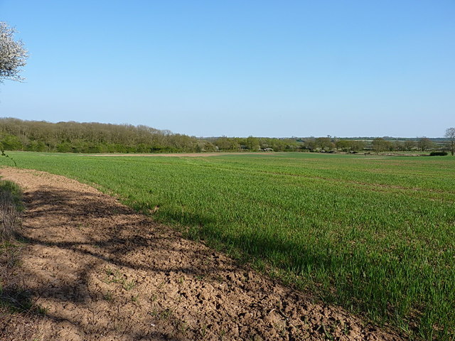
Daisy Plantation, located in Leicestershire, England, is a picturesque woodland estate known for its natural beauty and tranquility. Situated in the heart of the county, the plantation spans across a vast area of lush greenery and dense forests, making it a haven for nature enthusiasts and outdoor adventurers alike.
The plantation is characterized by its diverse ecosystem, which includes a variety of tree species such as oak, beech, and birch, creating a rich and vibrant landscape. The dense foliage provides a habitat for numerous wildlife species, including deer, foxes, and various bird species, making it a popular spot for birdwatchers and wildlife photographers.
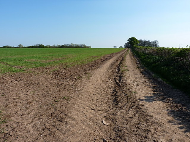
Visitors to Daisy Plantation can explore the estate through its well-maintained walking trails, which wind through the woodlands, offering stunning views and a chance to immerse oneself in nature. These trails are suitable for all levels of fitness and offer a peaceful retreat away from the hustle and bustle of urban life.
In addition to its natural beauty, Daisy Plantation also offers a range of recreational activities for visitors. The estate features designated picnic areas where families and friends can enjoy a leisurely lunch surrounded by the serenity of the woodlands. There are also camping facilities available, allowing visitors to extend their stay and fully experience the tranquility of the plantation.
Overall, Daisy Plantation in Leicestershire is a hidden gem that showcases the beauty of nature in its purest form. With its diverse flora and fauna, well-maintained trails, and recreational facilities, it is a must-visit destination for those seeking solace in the serenity of the woodlands.
If you have any feedback on the listing, please let us know in the comments section below.
Daisy Plantation Images
Images are sourced within 2km of 52.728358/-1.4341263 or Grid Reference SK3814. Thanks to Geograph Open Source API. All images are credited.


Daisy Plantation is located at Grid Ref: SK3814 (Lat: 52.728358, Lng: -1.4341263)
Administrative County: Leicestershire
District: North West Leicestershire
Police Authority: Leicestershire
What 3 Words
///ribcage.invoices.beamed. Near Ravenstone, Leicestershire
Nearby Locations
Related Wikis

Alton, Leicestershire
Alton is a deserted medieval village between Coalville and Ashby-de-la-Zouch, in North West Leicestershire, England. The earliest documentation of the...
Ashby de la Zouch Rural District
Ashby de la Zouch Rural District was a rural district in England, near Ashby de la Zouch (which was an urban district). It was formed in 1894 along with...

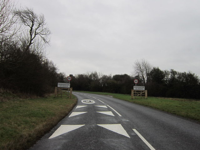
Normanton le Heath
Normanton le Heath is a village and civil parish situated between the parishes of Packington, Ravenstone and Heather in North West Leicestershire, England...

Ravenstone, Leicestershire
Ravenstone is a village and former civil parish, now in the parish of Ravenstone with Snibstone, in the North West Leicestershire district, in the county...

Queen Elizabeth Diamond Jubilee Wood
The Queen Elizabeth Diamond Jubilee Wood (initially known as the Flagship Diamond Wood) is a woodland in Leicestershire, UK created in 2012. Covering 186...

Packington
Packington is a village and civil parish in the district of North West Leicestershire. It is situated close to the A42 road and the towns of Ashby de la...
Coleorton Wood
Coleorton Wood is a woodland in the village of Coleorton, near Coalville in northwest Leicestershire, England. It is a six-hectare (15-acre) mixed woodland...
Ashby Ivanhoe F.C.
Ashby Ivanhoe Football Club are a football club based in Ashby-de-la-Zouch, Leicestershire, England. They are currently members of the United Counties...
Nearby Amenities
Located within 500m of 52.728358,-1.4341263Have you been to Daisy Plantation?
Leave your review of Daisy Plantation below (or comments, questions and feedback).