High Wood
Wood, Forest in Yorkshire Harrogate
England
High Wood
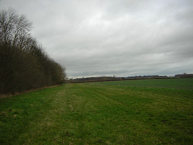
High Wood is a picturesque forest located in Yorkshire, England. Situated amidst the rolling hills and lush green landscapes, this woodland area spans over a considerable area of approximately 250 acres. The forest is predominantly composed of deciduous trees, such as oak, beech, and birch, which provide a stunning canopy of vibrant colors during the autumn season. The dense foliage and towering trees create a tranquil and serene atmosphere, making it a popular destination for nature lovers and hikers.
High Wood is known for its diverse wildlife, including a variety of bird species, mammals, and insects. Birdwatchers can spot species like woodpeckers, owls, and songbirds, while lucky visitors may even catch a glimpse of deer or squirrels scurrying through the undergrowth. The forest is also home to numerous walking trails and pathways, allowing visitors to explore and immerse themselves in the natural beauty of the surroundings.
In addition to its natural wonders, High Wood holds historical significance as well. The forest has witnessed various events throughout the centuries, including battles and conflicts during medieval times. It is not uncommon to stumble upon remnants of old structures or ancient ruins while traversing through the woodland.
High Wood offers a peaceful retreat from the hustle and bustle of city life, providing visitors with an opportunity to reconnect with nature. Whether it's a leisurely stroll, birdwatching, or a family picnic, this enchanting forest offers something for everyone seeking solace in the beauty of the great outdoors.
If you have any feedback on the listing, please let us know in the comments section below.
High Wood Images
Images are sourced within 2km of 53.98498/-1.4068392 or Grid Reference SE3854. Thanks to Geograph Open Source API. All images are credited.


High Wood is located at Grid Ref: SE3854 (Lat: 53.98498, Lng: -1.4068392)
Division: West Riding
Administrative County: North Yorkshire
District: Harrogate
Police Authority: North Yorkshire
What 3 Words
///dabbling.meanings.hardening. Near Spofforth, North Yorkshire
Nearby Locations
Related Wikis
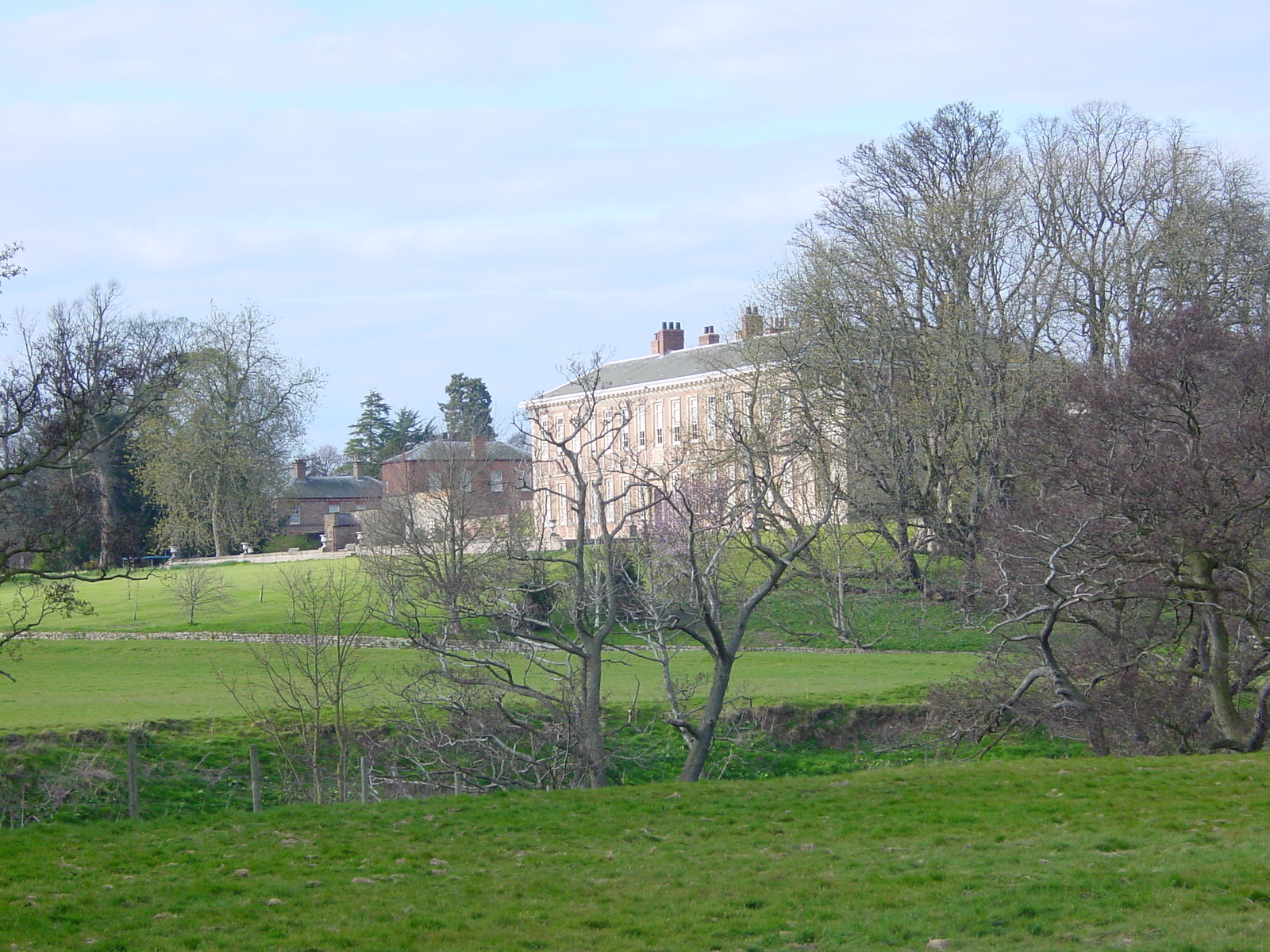
Ribston Hall
Ribston Hall is a privately owned 17th-century country mansion situated on the banks of the River Nidd, at Great Ribston, near Knaresborough, North Yorkshire...

Ribston Preceptory
Ribston Preceptory was a priory just east of the village of Little Ribston, in North Yorkshire, England on the east bank of the River Nidd. The preceptory...

Little Ribston
Little Ribston is a village and civil parish in the Harrogate district of North Yorkshire, England. Little Ribston is located on the River Nidd, 4 miles...
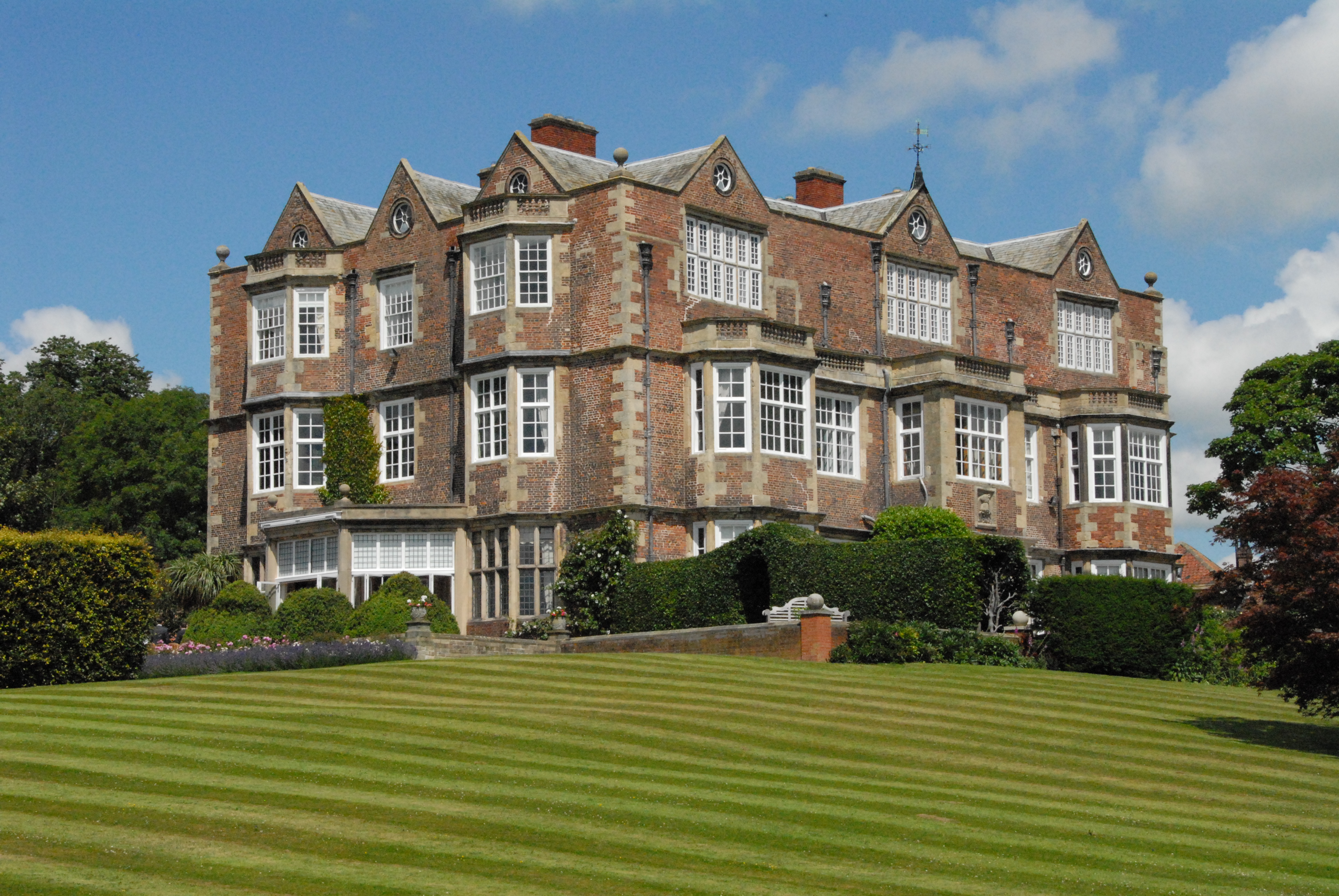
Goldsborough Hall
Goldsborough Hall is a Jacobean stately home located in the village of Goldsborough, North Yorkshire, England. It is a member of the Historic Houses Association...
Nearby Amenities
Located within 500m of 53.98498,-1.4068392Have you been to High Wood?
Leave your review of High Wood below (or comments, questions and feedback).