Dogley Lane
Settlement in Yorkshire
England
Dogley Lane
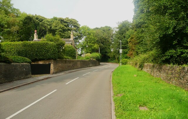
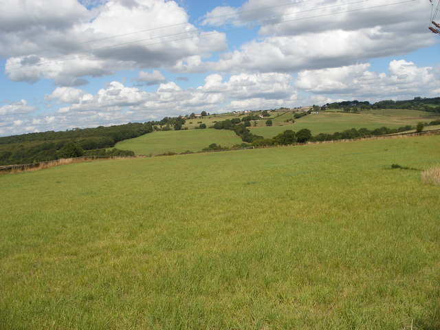
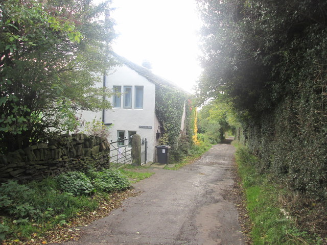
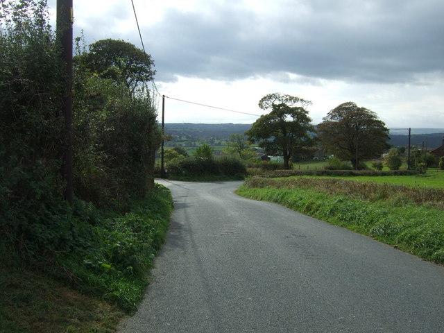
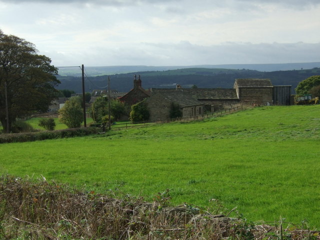
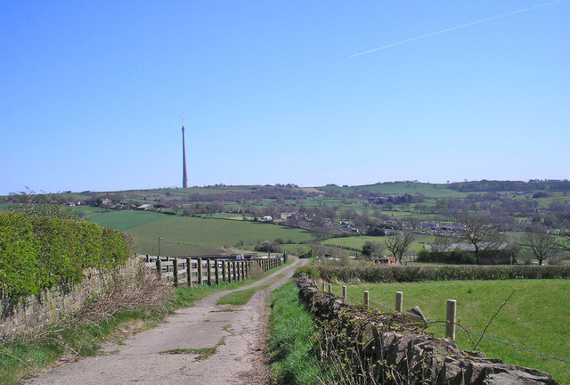
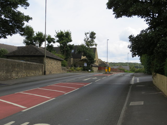
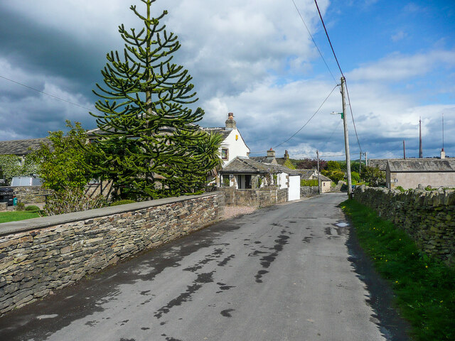
Dogley Lane is a picturesque rural lane located in the heart of Yorkshire, England. Situated in the scenic countryside, it offers a tranquil and idyllic setting for residents and visitors alike. The lane is known for its stunning natural beauty, with rolling green hills, charming cottages, and quaint farmlands surrounding it.
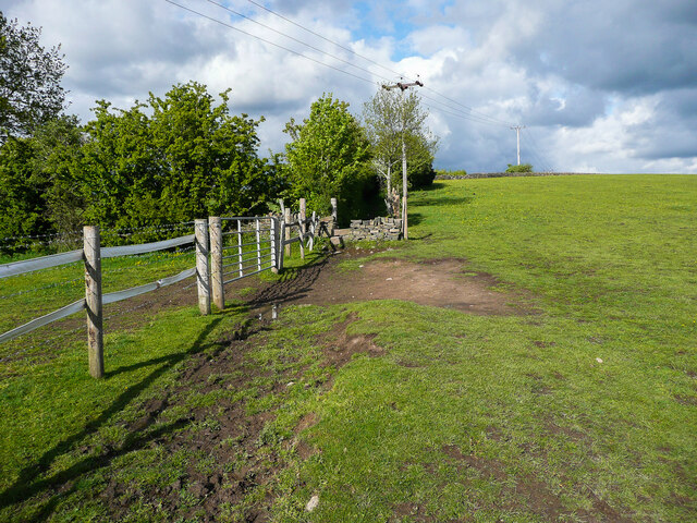
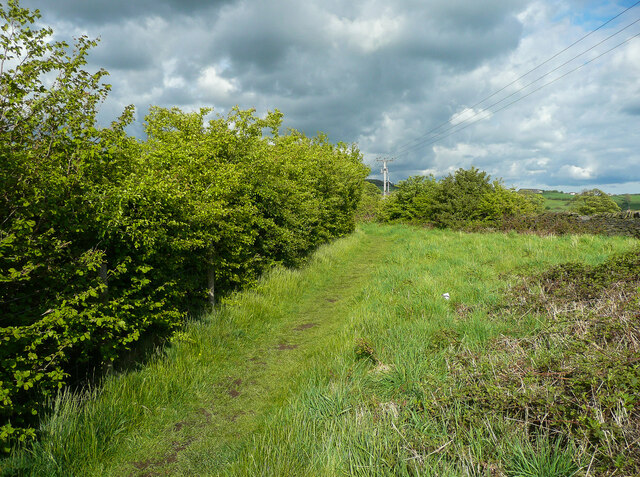
Dogley Lane stretches for approximately one mile, winding its way through the countryside, offering stunning vistas at every turn. The lane is lined with ancient oak trees, imparting a sense of history and serenity. It is a popular spot for leisurely walks and bike rides, as it provides a peaceful escape from the hustle and bustle of city life.
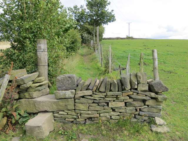
Along Dogley Lane, one can find a few small farms, where local farmers can be seen tending to their livestock or working the fields. The lane is also home to a few scattered cottages, each with its own unique charm and character. These cottages often have well-manicured gardens and traditional Yorkshire stone walls, adding to the overall charm of the area.
Visitors to Dogley Lane can expect to encounter a wide variety of wildlife, including rabbits, squirrels, and various species of birds. The lane is a haven for nature enthusiasts, who can enjoy spotting these animals in their natural habitats. The tranquility of the lane is further enhanced by the absence of heavy traffic, as it is primarily used by locals and those seeking a peaceful escape.
In conclusion, Dogley Lane is a hidden gem in Yorkshire, offering a serene and picturesque escape to those who venture down its winding path. With its breathtaking scenery and peaceful ambiance, it is a must-visit destination for nature lovers and anyone seeking a break from the chaos of everyday life.
If you have any feedback on the listing, please let us know in the comments section below.
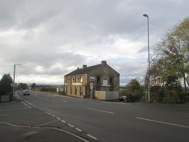
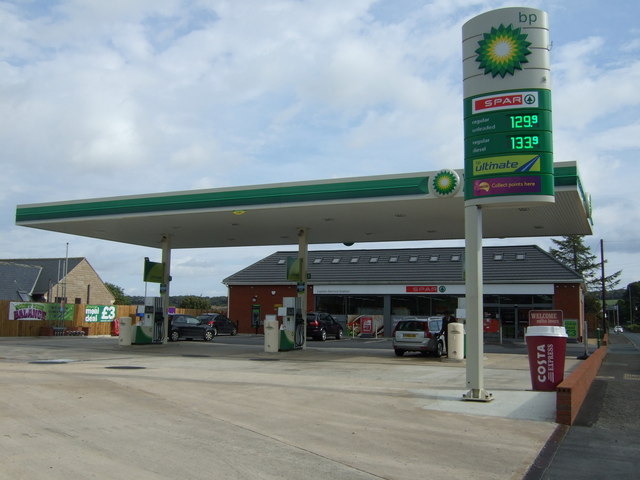
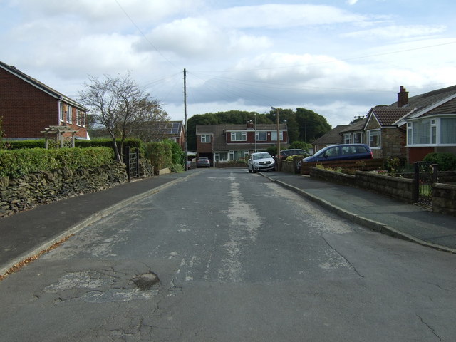
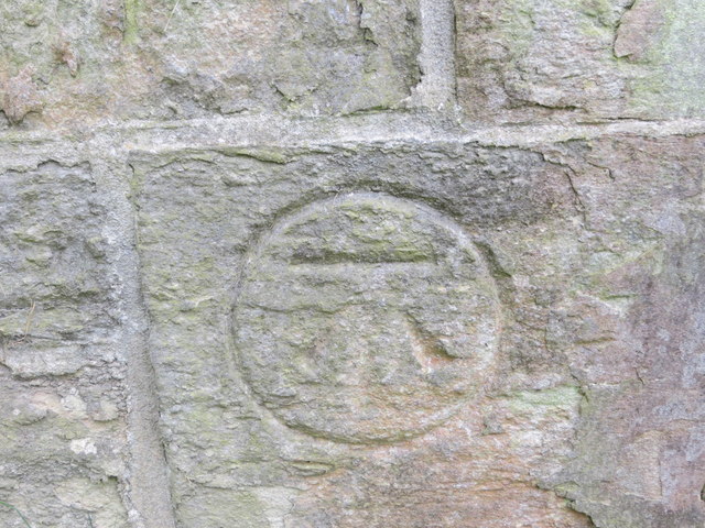
Dogley Lane Images
Images are sourced within 2km of 53.623554/-1.720257 or Grid Reference SE1814. Thanks to Geograph Open Source API. All images are credited.


Dogley Lane is located at Grid Ref: SE1814 (Lat: 53.623554, Lng: -1.720257)
Division: West Riding
Unitary Authority: Kirklees
Police Authority: West Yorkshire
What 3 Words
///rules.wizard.swim. Near Kirkburton, West Yorkshire
Nearby Locations
Related Wikis
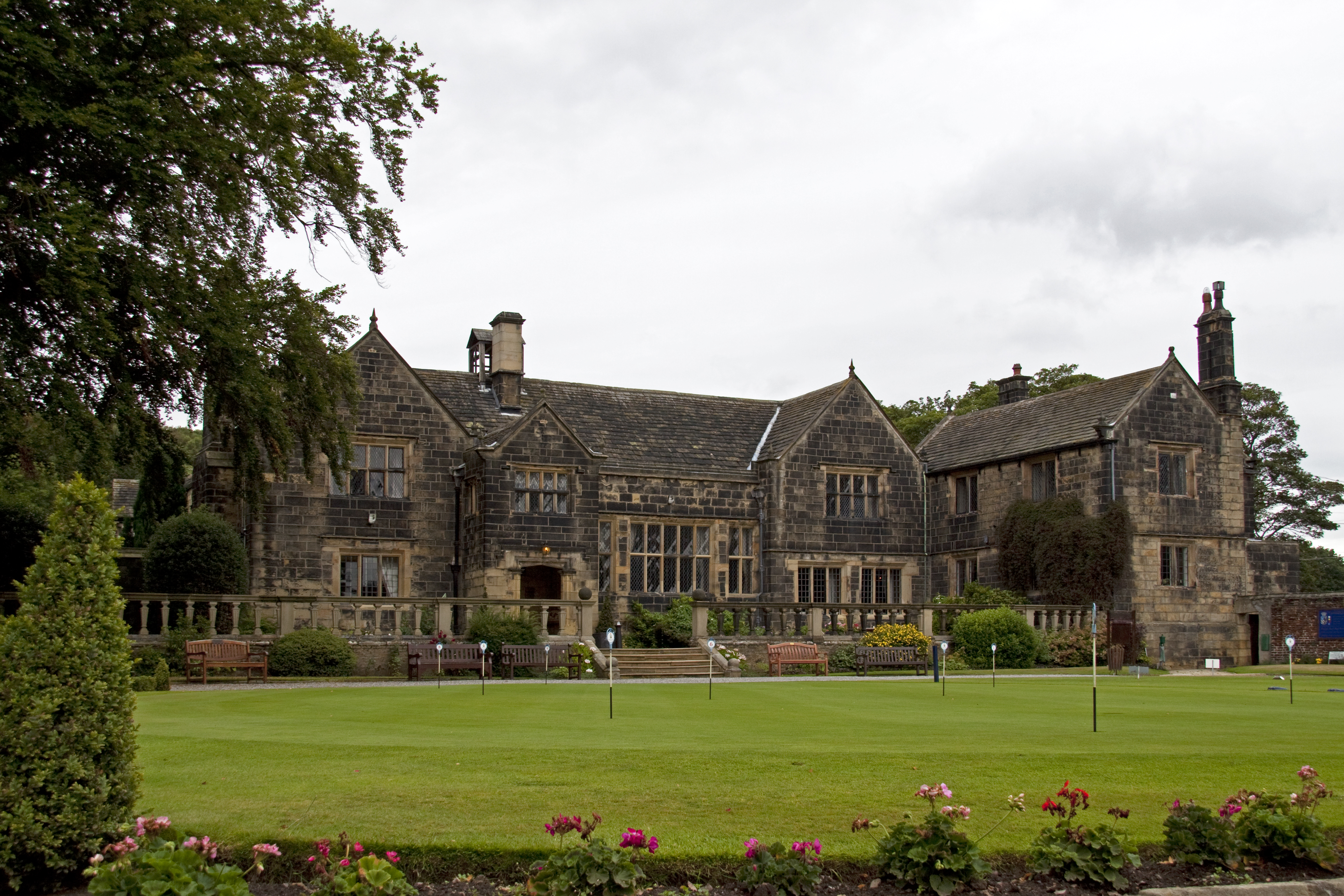
Woodsome Hall
Woodsome Hall is a 16th-century country house in the parish of Almondbury, near Huddersfield, West Yorkshire, England. It is now the clubhouse of Woodsome...
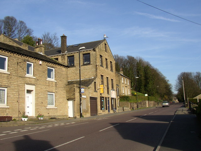
Highburton
Highburton is part of the township of Kirkburton, a village in the county of West Yorkshire, England. It is five miles southeast of Huddersfield. It occupies...

Kirkburton railway station
Kirkburton railway station served the village of Kirkburton, West Yorkshire, England until closure in 1930. == History == The Huddersfield-Kirkburton Branch...
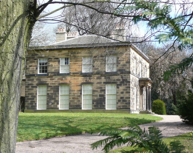
Kirkburton Hall
Kirkburton Hall, formerly known as Kirkburton Town Hall, and before that, as Springfield House, is a former municipal building in Penistone Road in Kirkburton...
Nearby Amenities
Located within 500m of 53.623554,-1.720257Have you been to Dogley Lane?
Leave your review of Dogley Lane below (or comments, questions and feedback).