Woodsome Hall

Heritage Site in Yorkshire

England

Woodsome Hall

Derelict building Been derelict for a few years now.
Derelict building Credit: terry

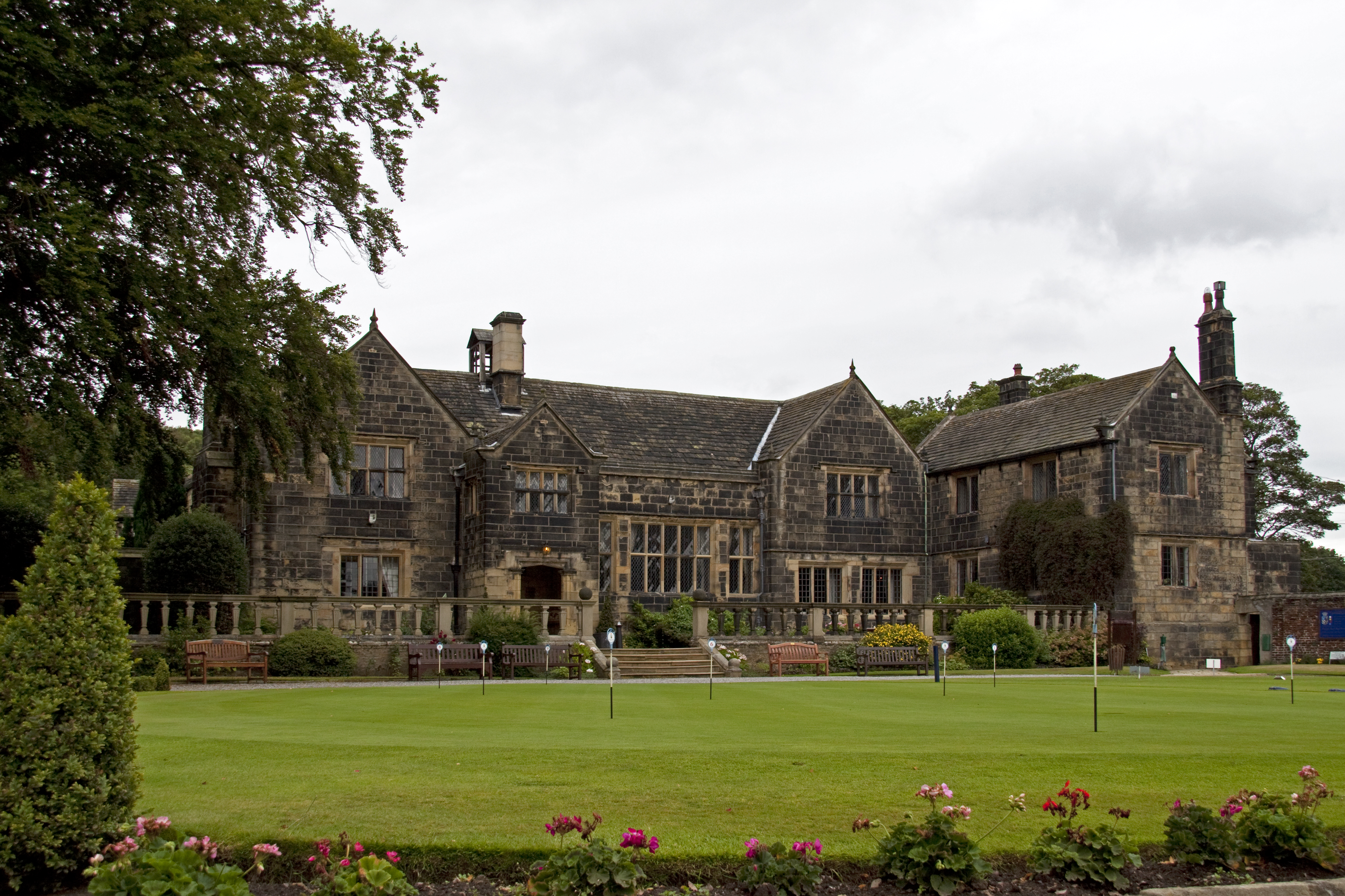
Woodsome Hall, located in the picturesque village of Fenay Bridge near Huddersfield, West Yorkshire, is a historic country house that dates back to the 17th century. This Grade I listed building is widely recognized as one of the finest examples of Jacobean architecture in Yorkshire and is considered a significant heritage site.

Built in 1639 by the Kaye family, the hall boasts an imposing stone façade with mullioned windows, intricate stone carvings, and a grand entrance porch. The interiors of the house exhibit a blend of original features and later additions, showcasing the evolution of architectural styles over the centuries. Notably, the Great Hall showcases a stunning oak-panelled ceiling adorned with ornate plasterwork.

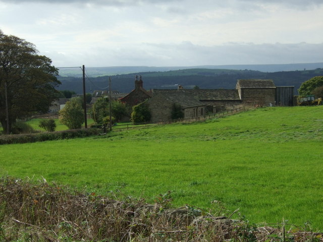
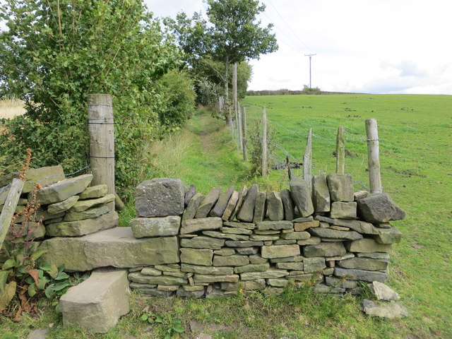
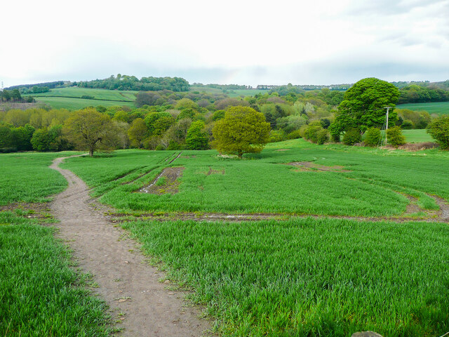
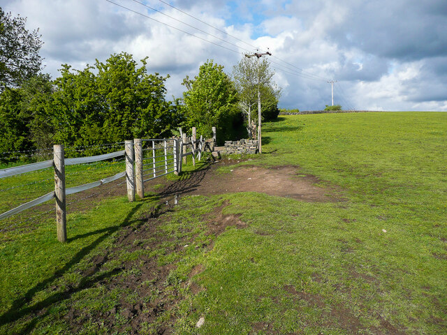
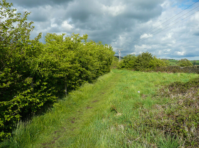
Surrounded by 150 acres of beautifully landscaped gardens and parkland, Woodsome Hall offers stunning views of the Yorkshire countryside. The estate also features a picturesque lake, ancient woodland, and well-preserved footpaths, making it an ideal destination for nature enthusiasts and walkers alike.

Over the years, Woodsome Hall has undergone several renovations and restorations to preserve its historical significance. Today, it serves as a private residence, hosting exclusive events and weddings. The hall's rich history and architectural beauty make it a popular attraction for visitors interested in exploring Yorkshire's heritage.

Woodsome Hall's status as a Grade I listed building and its contribution to the local cultural landscape make it a cherished heritage site, offering visitors a glimpse into the region's architectural and historical past.

If you have any feedback on the listing, please let us know in the comments section below.

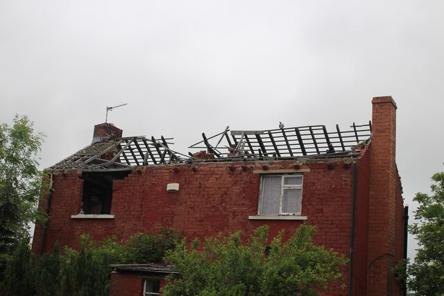
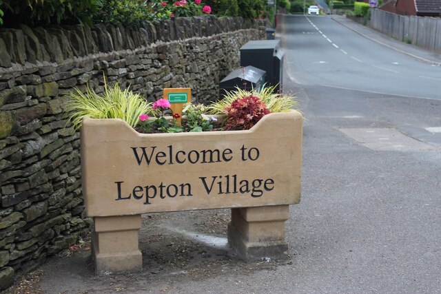
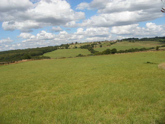
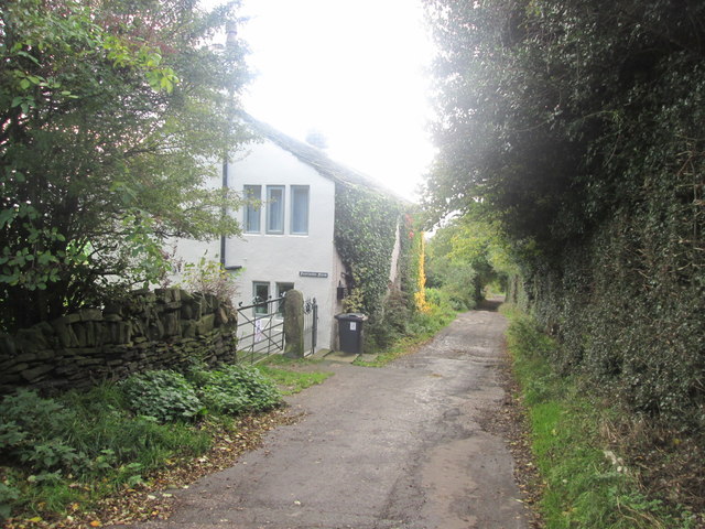
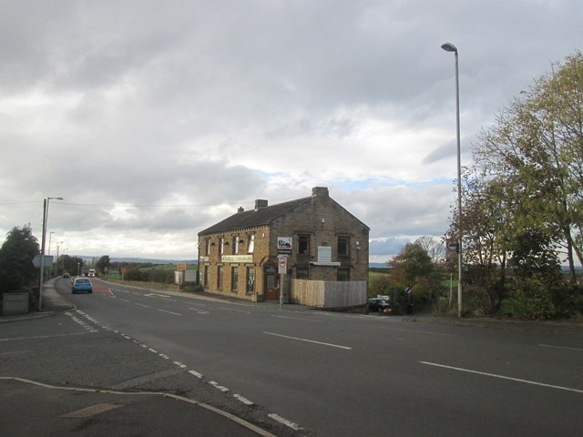
Woodsome Hall Images

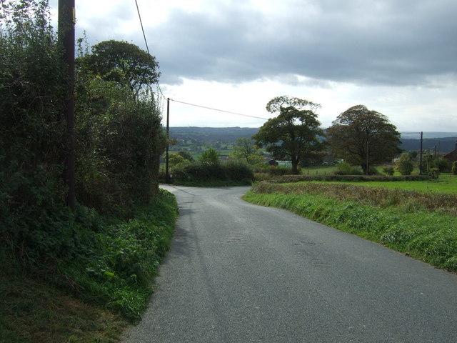
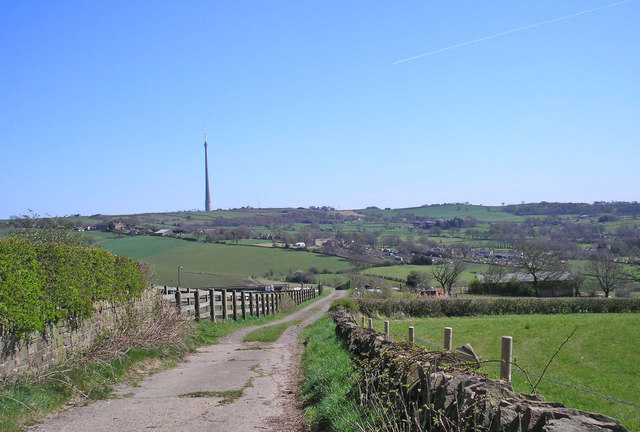
Images are sourced within 2km of 53.627/-1.72 or Grid Reference SE1814. Thanks to Geograph Open Source API. All images are credited.

Derelict building Been derelict for a few years now.
Derelict building
Been derelict for a few years now.
New village sign Not a sign for a new village, but a new sign for an old village.
New village sign
Not a sign for a new village, but a new sign for an old village.
Looking north from Moor Road
Fourlands Farm, Lepton Lane
Wakefield Road/Rowley Lane junction Rowley Lane to the left.   The minor road to the right of the shop is Knotty Lane
Wakefield Road/Rowley Lane junction
Rowley Lane to the left. The minor road to the right of the shop is Knotty Lane
Service station on Wakefield Road (A642)
Wakefield Road (A642)  Heading east.
Wakefield Road (A642)
Heading east.
Far Croft Residential close off Pond Lane.
Far Croft
Residential close off Pond Lane.
Pond Lane Heading south near junction with Tinker Lane.
Pond Lane
Heading south near junction with Tinker Lane.
Farmland, Little Lepton Off Pond Lane.
Farmland, Little Lepton
Off Pond Lane.
Lane near Little Lepton Emley Moor TV transmission mast in the distance.
Lane near Little Lepton
Emley Moor TV transmission mast in the distance.
Wakefield road (A642) passing through Lepton Looking eastward.
Wakefield road (A642) passing through Lepton
Looking eastward.
Field path about to cross a wall stile and become an enclosed path near Lepton Looking north-eastward.
Field path about to cross a wall stile and become an enclosed path near Lepton
Looking north-eastward.
Ordnance Survey Cut Mark This mark can be found on the wall of St John's Church in Lepton. The benchmark height is recorded as being 190.6097 metres above sea level.
For more detail see : <span class="nowrap"><a title="http://www.bench-marks.org.uk/bm52086" rel="nofollow ugc noopener" href="http://www.bench-marks.org.uk/bm52086">Link</a><img style="margin-left:2px;" alt="External link" title="External link - shift click to open in new window" src="https://s1.geograph.org.uk/img/external.png" width="10" height="10"/></span>
Ordnance Survey Cut Mark
This mark can be found on the wall of St John's Church in Lepton. The benchmark height is recorded as being 190.6097 metres above sea level. For more detail see : LinkExternal link
Footpath from Botany Lane to Rods Beck, Lepton This is Footpath KIR/30/10. It is a broad path, probably due to people trying to avoid sticky mud on the surface. The field is enormous, due to the removal of the hedgerows shown on old maps.  Fortunately the trees have been retained.
Footpath from Botany Lane to Rods Beck, Lepton
This is Footpath KIR/30/10. It is a broad path, probably due to people trying to avoid sticky mud on the surface. The field is enormous, due to the removal of the hedgerows shown on old maps. Fortunately the trees have been retained.
Monkey Puzzle tree, Green Balk Lane, Lepton
Footpath KIR/87/10  near Green Balk Lane, Lepton This path is mostly enclosed by hedges, and goes to Lydgate.
Footpath KIR/87/10 near Green Balk Lane, Lepton
This path is mostly enclosed by hedges, and goes to Lydgate.
Footpath KIR/87/10 at the summit of a little hill, Lepton Here the land just reaches the 200m contour. There was once a triangulation pillar at the corner to the right, and the path used to go into producing a pleasant triangular area.
Footpath KIR/87/10 at the summit of a little hill, Lepton
Here the land just reaches the 200m contour. There was once a triangulation pillar at the corner to the right, and the path used to go into producing a pleasant triangular area.
Show me another place!

Woodsome Hall is located at Grid Ref: SE1814 (Lat: 53.627, Lng: -1.72)

Division: West Riding

Unitary Authority: Kirklees

Police Authority: West Yorkshire

What 3 Words

///acid.bland.apply. Near Kirkburton, West Yorkshire

Related Wikis

Woodsome Hall

Woodsome Hall is a 16th-century country house in the parish of Almondbury, near Huddersfield, West Yorkshire, England. It is now the clubhouse of Woodsome...

Fenay Bridge and Lepton railway station

Fenay Bridge and Lepton railway station served the villages of Lepton and Fenay Bridge, West Riding of Yorkshire, England, from 1867 to 1965 on the Kirkburton...

Highburton

Highburton is part of the township of Kirkburton, a village in the county of West Yorkshire, England. It is five miles southeast of Huddersfield. It occupies...

Kirkburton railway station

Kirkburton railway station served the village of Kirkburton, West Yorkshire, England until closure in 1930. == History == The Huddersfield-Kirkburton Branch...

King James's School, Almondbury

King James's School is a coeducational secondary school located in Almondbury in the English county of West Yorkshire. == History == King James's Grammar...

South Pennines

The South Pennines is a region of moorland and hill country in northern England lying towards the southern end of the Pennines. In the west it includes...

Waterloo, Huddersfield

Waterloo is a suburb of Huddersfield, West Yorkshire, England. It is 2 miles (3.2 km) to the east of Huddersfield Town Centre. It is the part of Dalton...

Lepton, West Yorkshire

Lepton is a village near Huddersfield in the parish of Kirkburton, in the Kirklees district of West Yorkshire, England. It is 4.25 miles (7 km) to the...

Nearby Amenities

Located within 500m of 53.627,-1.72
Bus Stop
Penistone Road Whitegates Grove
Local Ref: 45016772
Naptan AtcoCode: 450016772
Naptan Bearing: N
Naptan CommonName: Penistone Road Whitegates Grove
Naptan Crossing: Whitegates Grove
Naptan Indicator: Stop 45016772
Naptan PlusbusZoneRef: LEEDS
Naptan ShortCommonName: Whitegates Grove
Naptan Street: Penistone Road
Naptan Verified: no
Source: naptan_import
Lat/Long: 53.6312464/-1.7216891
Bus Stop
Penistone Road Whitegates Grove
Local Ref: 45016773
Naptan AtcoCode: 450016773
Naptan Bearing: S
Naptan CommonName: Penistone Road Whitegates Grove
Naptan Crossing: Nr-At Whitegates Grove
Naptan Indicator: Stop 45016773
Naptan PlusbusZoneRef: LEEDS
Naptan ShortCommonName: Whitegates Grove
Naptan Street: Penistone Road
Naptan Verified: no
Source: naptan_import
Lat/Long: 53.6299319/-1.7207904
Bus Stop
Penistone Road Rowley Lane
Local Ref: 45016774
Naptan AtcoCode: 450016774
Naptan Bearing: S
Naptan CommonName: Penistone Road Rowley Lane
Naptan Crossing: Rowley Lane
Naptan Indicator: Stop 45016774
Naptan PlusbusZoneRef: LEEDS
Naptan ShortCommonName: Rowley Lane
Naptan Street: Penistone Road
Naptan Verified: no
Source: naptan_import
Lat/Long: 53.6269089/-1.7195554
Bus Stop
Penistone Road Rowley Lane
Local Ref: 45016775
Naptan AtcoCode: 450016775
Naptan Bearing: N
Naptan CommonName: Penistone Road Rowley Lane
Naptan Crossing: Rowley Lane
Naptan Indicator: Stop 45016775
Naptan PlusbusZoneRef: LEEDS
Naptan ShortCommonName: Rowley Lane
Naptan Street: Penistone Road
Naptan Verified: no
Source: naptan_import
Lat/Long: 53.6280341/-1.7202284
Bus Stop
Penistone Road Woodsome Bridge
Local Ref: 45016776
Naptan AtcoCode: 450016776
Naptan Bearing: S
Naptan CommonName: Penistone Road Woodsome Bridge
Naptan Crossing: Ashford Manor
Naptan Indicator: Stop 45016776
Naptan Notes: OSR taken place 141205
Naptan PlusbusZoneRef: LEEDS
Naptan ShortCommonName: Ashford Manor
Naptan Street: Penistone Road
Naptan Verified: no
Source: naptan_import
Lat/Long: 53.6246415/-1.7185876
Bus Stop
Penistone Road Ashford Manor
Local Ref: 45016777
Naptan AtcoCode: 450016777
Naptan Bearing: N
Naptan CommonName: Penistone Road Ashford Manor
Naptan Crossing: Ashford Manor
Naptan Indicator: Stop 45016777
Naptan Landmark: Magna House
Naptan PlusbusZoneRef: LEEDS
Naptan ShortCommonName: Woodsome Road
Naptan Street: Penistone Road
Naptan Verified: no
Source: naptan_import
Lat/Long: 53.6248849/-1.7188733
Bus Stop
Rowley Lane Woodsome Drive
Local Ref: 45018782
Naptan AtcoCode: 450018782
Naptan Bearing: E
Naptan CommonName: Rowley Lane Woodsome Drive
Naptan Crossing: Woodsome Drive
Naptan Indicator: Stop 45018782
Naptan Notes: OSR taken place 121205
Naptan PlusbusZoneRef: LEEDS
Naptan ShortCommonName: Woodsome Drive
Naptan Street: Rowley Lane
Naptan Verified: no
Source: naptan_import
Lat/Long: 53.6276345/-1.7184921
Bus Stop
Rowley Lane Clough Park
Local Ref: 45018783
Naptan AtcoCode: 450018783
Naptan Bearing: SW
Naptan CommonName: Rowley Lane Clough Park
Naptan Crossing: Clough Park
Naptan Indicator: Stop 45018783
Naptan PlusbusZoneRef: LEEDS
Naptan ShortCommonName: Clough Park
Naptan Street: Rowley Lane
Naptan Verified: no
Source: naptan_import
Lat/Long: 53.6277432/-1.7150438
Bus Stop
Rowley Lane Clough Park
Local Ref: 45018784
Naptan AtcoCode: 450018784
Naptan Bearing: NE
Naptan CommonName: Rowley Lane Clough Park
Naptan Crossing: Clough Park
Naptan Indicator: Stop 45018784
Naptan PlusbusZoneRef: LEEDS
Naptan ShortCommonName: Clough Park
Naptan Street: Rowley Lane
Naptan Verified: no
Source: naptan_import
Lat/Long: 53.6281012/-1.7143911
Bus Stop
Rowley Lane Penistone Road
Naptan AtcoCode: 450028528
Naptan Bearing: W
Naptan CommonName: Rowley Lane Penistone Road
Naptan Crossing: Woodsome Drive
Naptan Landmark: Unknown
Naptan PlusbusZoneRef: LEEDS
Naptan ShortCommonName: Penistone Road
Naptan Street: Rowley Lane
Naptan Verified: no
Source: naptan_import
Lat/Long: 53.627544/-1.7182205
Power: pole
Lat/Long: 53.6300776/-1.7252302
Power: pole
Lat/Long: 53.6302611/-1.7231899
Power: pole
Lat/Long: 53.6309441/-1.7206343
Power: pole
Lat/Long: 53.6310455/-1.7202788
Woodsome Bridge
Place: locality
Source: local knowledge
Lat/Long: 53.6255294/-1.7206756
Description: 16 panels
Generator Method: photovoltaic
Generator Output Electricity: small_installation
Generator Source: solar
Generator Type: solar_photovoltaic_panel
Note: roof household
Power: generator
Lat/Long: 53.6283911/-1.7155791
Description: 9 panels
Generator Method: photovoltaic
Generator Output Electricity: small_installation
Generator Source: solar
Generator Type: solar_photovoltaic_panel
Note: roof household
Power: generator
Lat/Long: 53.6283264/-1.7149627
Description: 12 panels
Generator Method: photovoltaic
Generator Output Electricity: small_installation
Generator Source: solar
Generator Type: solar_photovoltaic_panel
Note: roof household
Power: generator
Lat/Long: 53.6298388/-1.718104
Description: 16 panels
Generator Method: photovoltaic
Generator Output Electricity: small_installation
Generator Source: solar
Generator Type: solar_photovoltaic_panel
Note: roof household
Power: generator
Lat/Long: 53.6301439/-1.7165275
Description: 13 panels
Generator Method: photovoltaic
Generator Output Electricity: small_installation
Generator Source: solar
Generator Type: solar_photovoltaic_panel
Note: roof household
Power: generator
Lat/Long: 53.6299224/-1.7150858
Description: 13 panels
Generator Method: photovoltaic
Generator Output Electricity: small_installation
Generator Source: solar
Generator Type: solar_photovoltaic_panel
Note: roof household
Power: generator
Lat/Long: 53.629939/-1.7150002
Generator Method: photovoltaic
Generator Output Electricity: yes
Generator Source: solar
Generator Type: solar_photovoltaic_panel
Location: roof
Power: generator
Lat/Long: 53.6271984/-1.7149923
Generator Method: photovoltaic
Generator Output Electricity: yes
Generator Source: solar
Generator Type: solar_photovoltaic_panel
Location: roof
Power: generator
Lat/Long: 53.6294745/-1.7162314
Generator Method: photovoltaic
Generator Output Electricity: yes
Generator Source: solar
Generator Type: solar_photovoltaic_panel
Location: roof
Power: generator
Lat/Long: 53.6309172/-1.7172078
Generator Method: photovoltaic
Generator Output Electricity: yes
Generator Source: solar
Generator Type: solar_photovoltaic_panel
Location: roof
Power: generator
Lat/Long: 53.6284041/-1.7188159
Generator Method: photovoltaic
Generator Output Electricity: yes
Generator Source: solar
Generator Type: solar_photovoltaic_panel
Location: roof
Power: generator
Lat/Long: 53.6284518/-1.7186657
Generator Method: photovoltaic
Generator Output Electricity: yes
Generator Source: solar
Generator Type: solar_photovoltaic_panel
Location: roof
Power: generator
Lat/Long: 53.6282275/-1.718663
Generator Method: photovoltaic
Generator Output Electricity: yes
Generator Source: solar
Generator Type: solar_photovoltaic_panel
Location: roof
Power: generator
Lat/Long: 53.6286124/-1.7175525
Generator Method: photovoltaic
Generator Output Electricity: yes
Generator Source: solar
Generator Type: solar_photovoltaic_panel
Location: roof
Power: generator
Lat/Long: 53.6280032/-1.7169598
Generator Method: photovoltaic
Generator Output Electricity: yes
Generator Source: solar
Generator Type: solar_photovoltaic_panel
Location: roof
Power: generator
Lat/Long: 53.6278601/-1.712628
The data included in this document is from www.openstreetmap.org. The data is made available under ODbL.

Have you been to Woodsome Hall?

Leave your review of Woodsome Hall below (or comments, questions and feedback).