Spring Wood
Wood, Forest in Yorkshire
England
Spring Wood
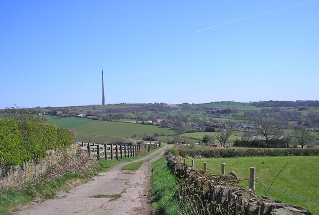
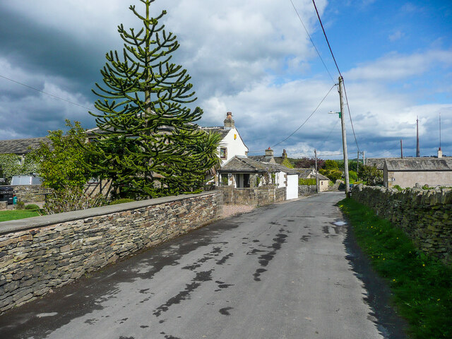
Spring Wood is a picturesque woodland located in the county of Yorkshire, England. Situated near the village of Wood, this enchanting forest spans an area of approximately 100 acres and is renowned for its natural beauty and diverse wildlife.
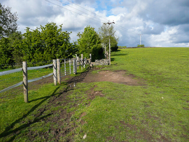
The wood gets its name from the vibrant array of flowers and blossoms that emerge during the spring season, creating a stunning display of colors. The woodland is characterized by a mix of deciduous and coniferous trees, including oak, beech, birch, and pine, which provide a rich habitat for various bird species, mammals, and insects.
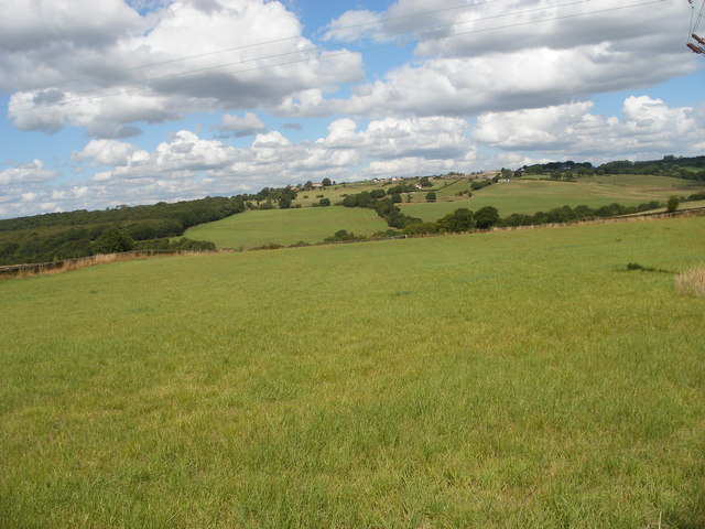
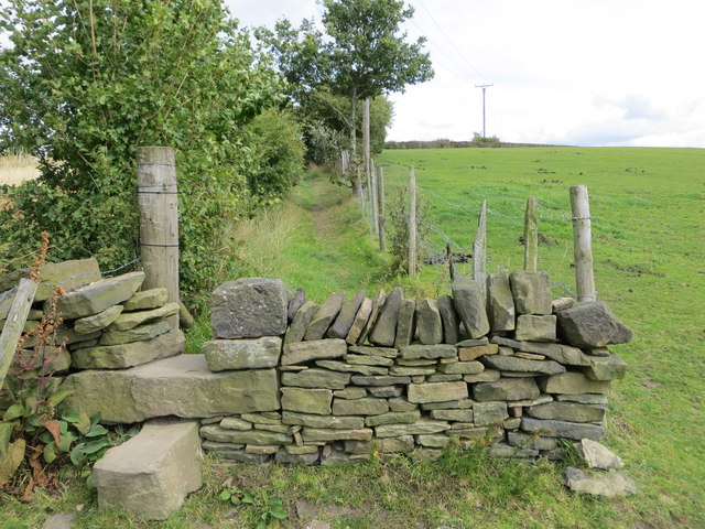
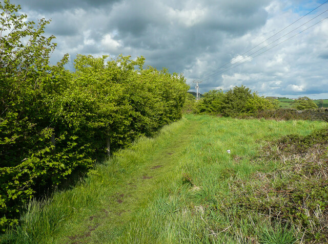
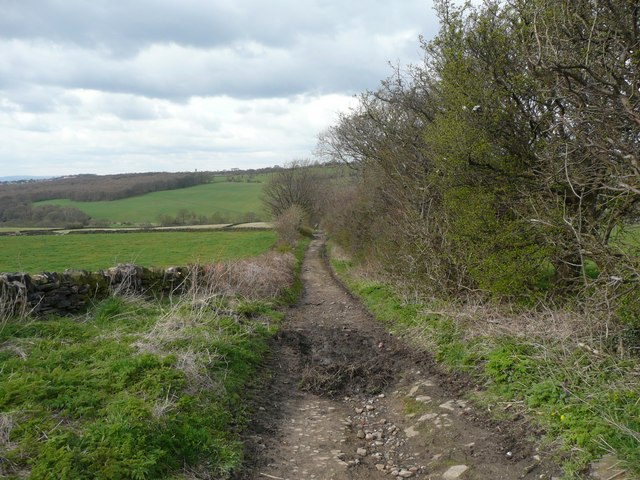
Visitors to Spring Wood can enjoy a network of well-maintained footpaths that wind through the forest, offering breathtaking views of the surrounding countryside. The tranquil atmosphere and peaceful surroundings make it an ideal spot for nature lovers, hikers, and photographers.
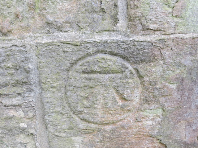
In addition to its natural beauty, Spring Wood also has historical significance. The remains of an ancient Roman road can still be seen within the woodland, serving as a reminder of the area's past. There are also several archaeological sites nearby, including a burial mound dating back to the Bronze Age.
Spring Wood is managed by a local conservation group, which works tirelessly to preserve its unique ecosystem and protect its wildlife. The group organizes guided walks and educational programs to raise awareness about the importance of environmental conservation.
Overall, Spring Wood in Yorkshire offers a refreshing escape into nature, showcasing the splendor of the English countryside and providing a sanctuary for both wildlife and humans alike.
If you have any feedback on the listing, please let us know in the comments section below.
Spring Wood Images
Images are sourced within 2km of 53.625036/-1.7247844 or Grid Reference SE1814. Thanks to Geograph Open Source API. All images are credited.


Spring Wood is located at Grid Ref: SE1814 (Lat: 53.625036, Lng: -1.7247844)
Division: West Riding
Unitary Authority: Kirklees
Police Authority: West Yorkshire
What 3 Words
///scam.judge.edits. Near Kirkburton, West Yorkshire
Nearby Locations
Related Wikis
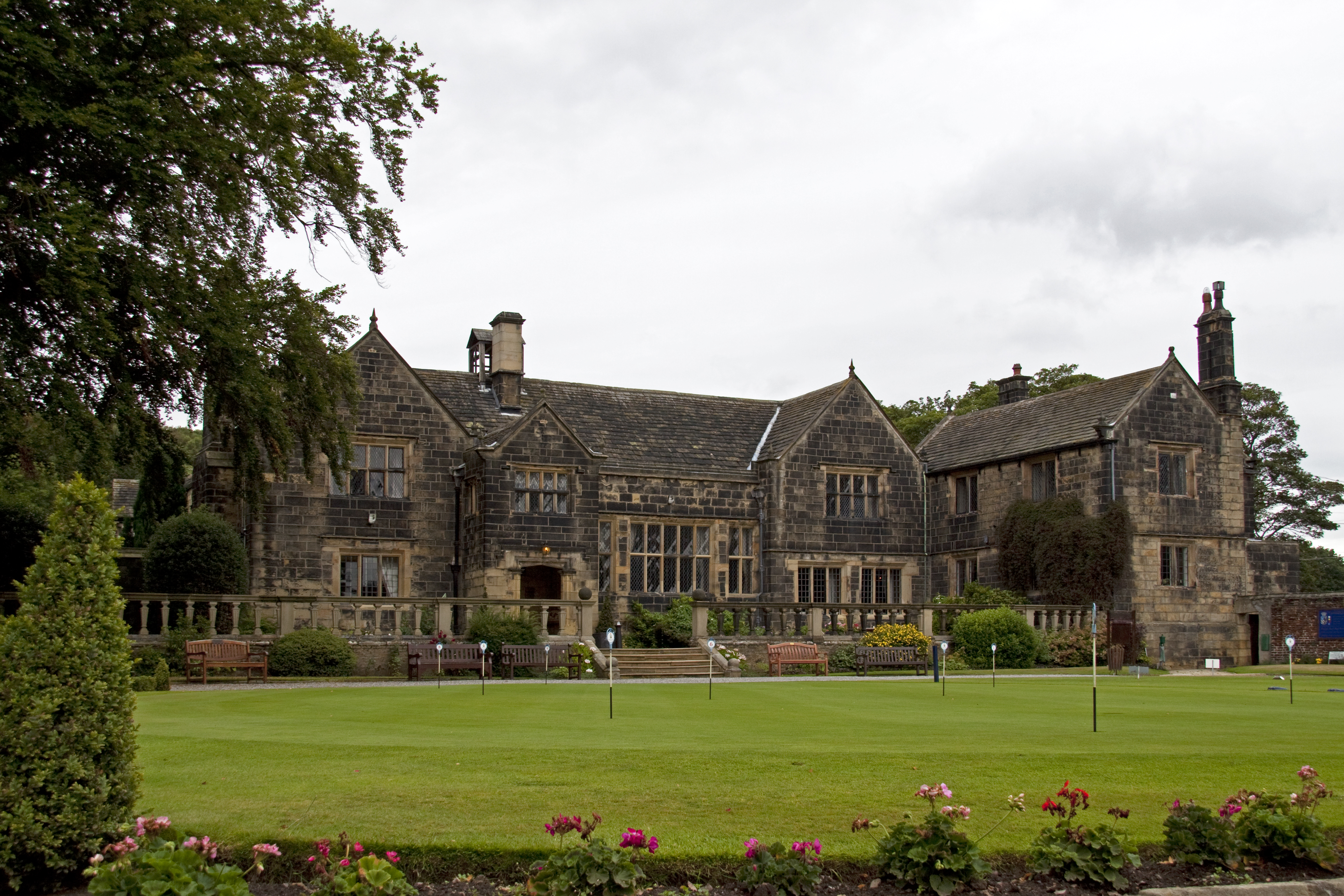
Woodsome Hall
Woodsome Hall is a 16th-century country house in the parish of Almondbury, near Huddersfield, West Yorkshire, England. It is now the clubhouse of Woodsome...
Highburton
Highburton is part of the township of Kirkburton, a village in the county of West Yorkshire, England. It is five miles southeast of Huddersfield. It occupies...

Fenay Bridge and Lepton railway station
Fenay Bridge and Lepton railway station served the villages of Lepton and Fenay Bridge, West Riding of Yorkshire, England, from 1867 to 1965 on the Kirkburton...

South Pennines
The South Pennines is a region of moorland and hill country in northern England lying towards the southern end of the Pennines. In the west it includes...
Nearby Amenities
Located within 500m of 53.625036,-1.7247844Have you been to Spring Wood?
Leave your review of Spring Wood below (or comments, questions and feedback).