Dogingtree Estate
Settlement in Staffordshire South Staffordshire
England
Dogingtree Estate
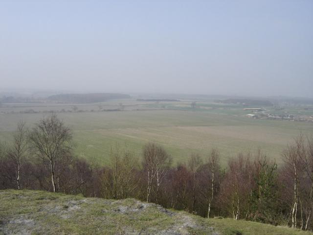
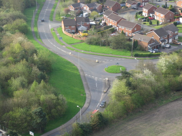
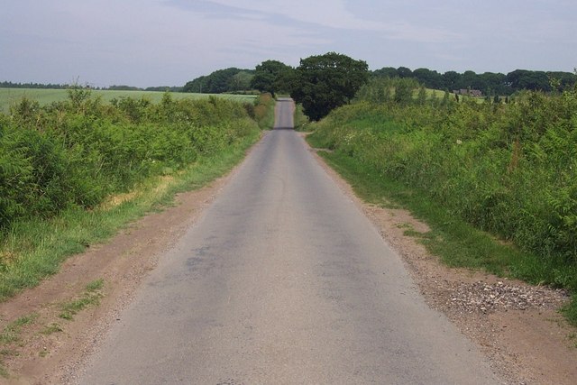
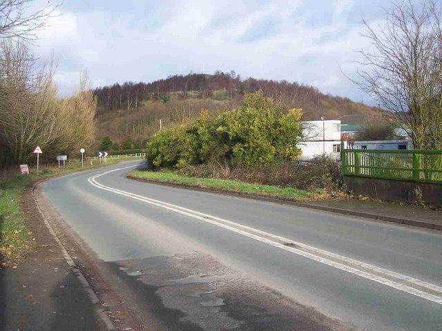
Dogingtree Estate is a historic estate located in Staffordshire, England. Covering an area of approximately 500 acres, it is nestled within the picturesque countryside, offering breathtaking views of the rolling hills and lush greenery. The estate is renowned for its stunning landscapes, making it a popular destination for nature enthusiasts and outdoor enthusiasts alike.
Dating back to the 17th century, Dogingtree Estate boasts a rich history and is steeped in tradition. The main manor house, a Grade II listed building, serves as the centerpiece of the estate and showcases exquisite architecture and design elements from different periods of history. It has been meticulously maintained and retains much of its original charm.
The estate also features a variety of other structures, including a charming chapel, stables, and a range of outbuildings. These buildings not only add to the estate's beauty but also provide a glimpse into its past.
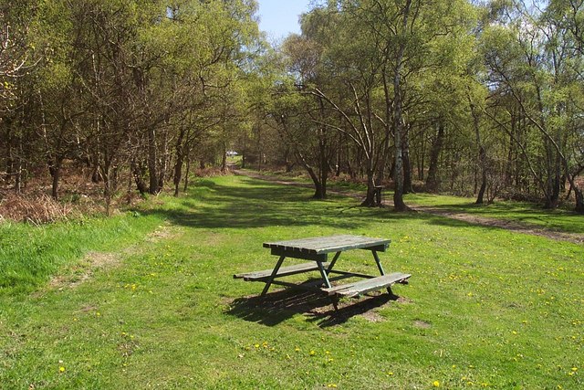
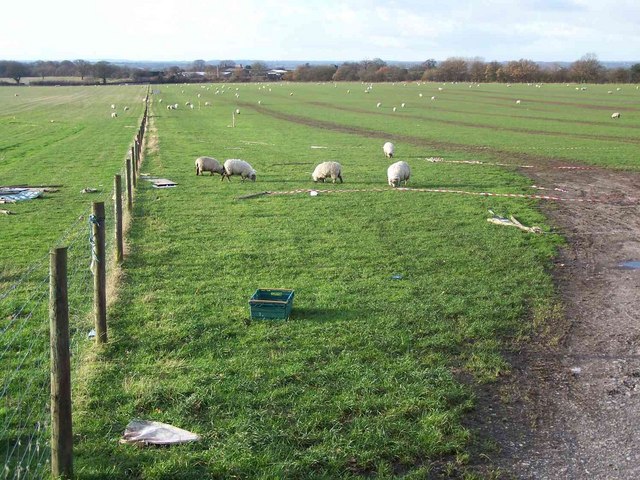
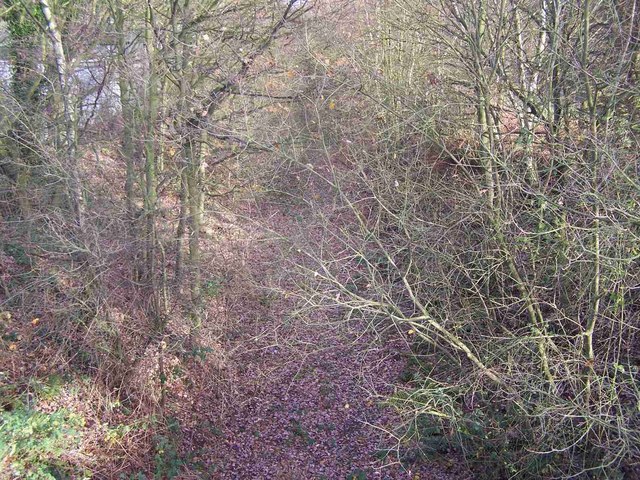
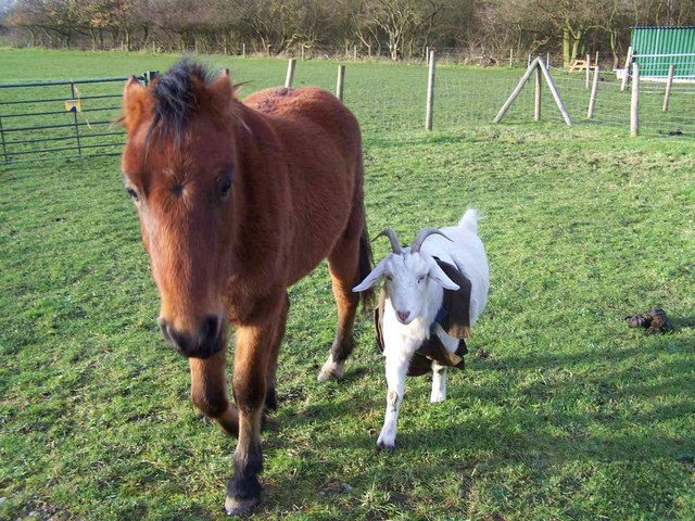
Visitors to Dogingtree Estate can explore the well-manicured gardens, which feature a diverse collection of plants and flowers, as well as numerous walking trails that wind through the estate's extensive woodlands. The estate is also home to a variety of wildlife, making it a haven for nature lovers.
In addition to its natural beauty, Dogingtree Estate offers a range of recreational activities, including fishing in its well-stocked lakes and horse riding through its expansive grounds. It is also a popular venue for weddings, with its picturesque surroundings providing a romantic backdrop for couples tying the knot.
Overall, Dogingtree Estate is a captivating destination that seamlessly blends history, natural beauty, and outdoor recreation, making it a must-visit location for those seeking an idyllic countryside experience in Staffordshire.
If you have any feedback on the listing, please let us know in the comments section below.
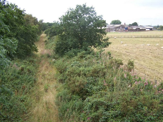
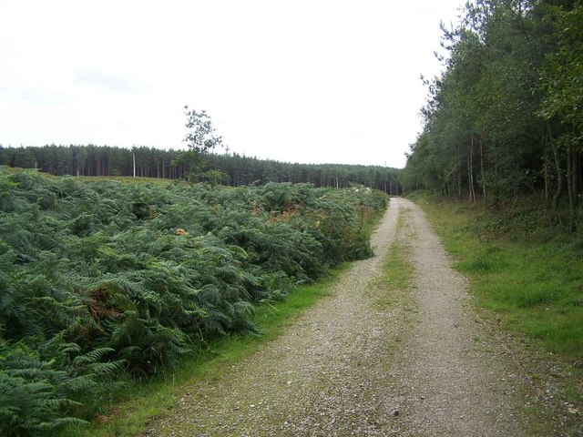
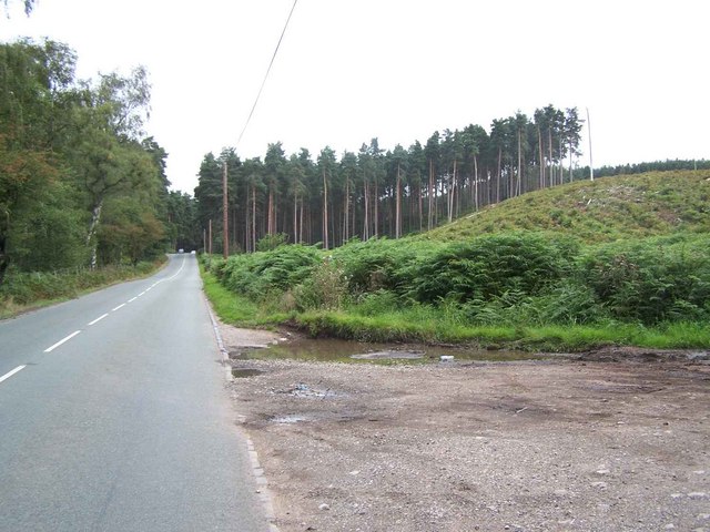
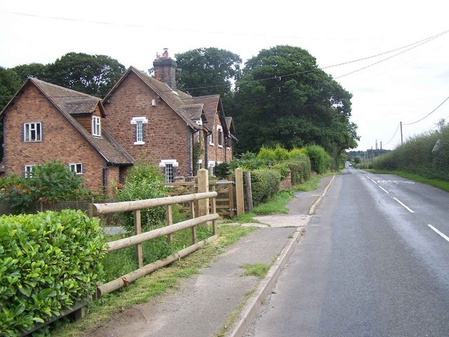
Dogingtree Estate Images
Images are sourced within 2km of 52.714649/-2.0458466 or Grid Reference SJ9713. Thanks to Geograph Open Source API. All images are credited.


Dogingtree Estate is located at Grid Ref: SJ9713 (Lat: 52.714649, Lng: -2.0458466)
Administrative County: Staffordshire
District: South Staffordshire
Police Authority: Staffordshire
What 3 Words
///victor.olive.respected. Near Cannock, Staffordshire
Nearby Locations
Related Wikis
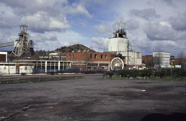
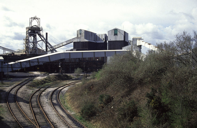
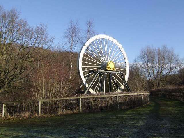
Littleton Colliery
Littleton Colliery was a deep coal mine situated two miles north of Cannock on the A34 in the village of Huntington. The colliery closed on 3 December...
Huntington, Staffordshire
Huntington is a civil parish and former mining village in Staffordshire, on the outskirts of Cannock Chase. It lies on the A34 road just north of Cannock...

Staffordshire University Academy
Staffordshire University Academy is a secondary school and sixth form located in Marston Road, Hednesford, Cannock, Staffordshire, England. The school...
Pye Green
Pye Green is part of Hednesford, Staffordshire, England, running from Chadsmoor and Hednesford, across the Pye Green valley and to the edge of The Chase...

Cardinal Griffin Catholic College
Cardinal Griffin Catholic College is a coeducational Catholic Secondary school and sixth form located in Cannock, Staffordshire, England. == History... ==

Chadsmoor
Chadsmoor () is a historic village in the Cannock Chase District in Staffordshire, England and is situated between the towns of Cannock and Hednesford...

Pye Green BT Tower
Pye Green BT Tower is a 96.9-metre (318 ft) tall telecommunication tower built of reinforced concrete at Pye Green, Staffordshire, England (grid reference...
Pillaton, Staffordshire
Pillaton is a small village in Staffordshire, England, nearby to Penkridge and lying on the B5012 road between Cannock and Penkridge. It falls under the...
Nearby Amenities
Located within 500m of 52.714649,-2.0458466Have you been to Dogingtree Estate?
Leave your review of Dogingtree Estate below (or comments, questions and feedback).