North Hills Wood
Wood, Forest in Yorkshire
England
North Hills Wood
North Hills Wood is a picturesque forest located in the county of Yorkshire, England. Nestled amidst the rolling hills and lush green landscapes, this woodland is renowned for its natural beauty and tranquil atmosphere.
Covering an area of approximately 100 acres, North Hills Wood is predominantly composed of deciduous trees, including oak, beech, and ash. These towering giants provide a dense canopy, allowing only dappled sunlight to filter through to the forest floor. The woodland is also home to a diverse array of flora, such as bluebells, primroses, and ferns, which add bursts of color and texture to the surroundings.
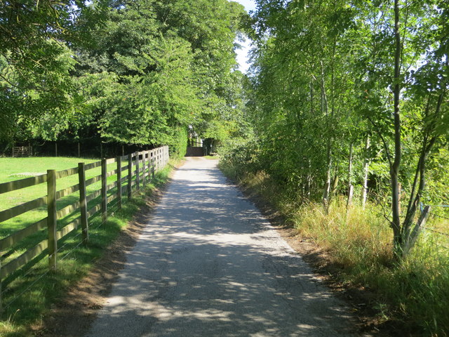
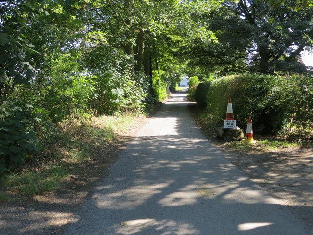
The forest is intersected by a network of well-maintained trails, making it a popular destination for nature enthusiasts and hikers. The paths wind their way through the woods, offering glimpses of babbling brooks, charming glades, and small clearings where wildlife can often be spotted. The tranquil ambiance of the wood makes it an ideal location for birdwatching, with species such as the great spotted woodpecker, tawny owl, and treecreeper frequently seen and heard.
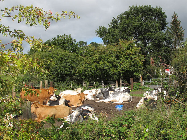
North Hills Wood not only provides a haven for nature lovers, but it also serves as an important habitat for a variety of wildlife. Deer, foxes, badgers, and squirrels are just a few of the creatures that call this woodland home.
Overall, North Hills Wood is a captivating destination that offers a serene escape from the hustle and bustle of everyday life. Its natural splendor and abundant wildlife make it a must-visit location for anyone seeking solace in the great outdoors.
If you have any feedback on the listing, please let us know in the comments section below.
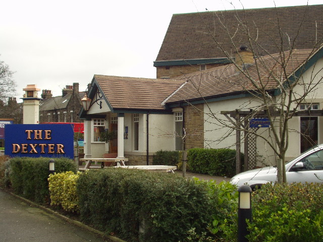
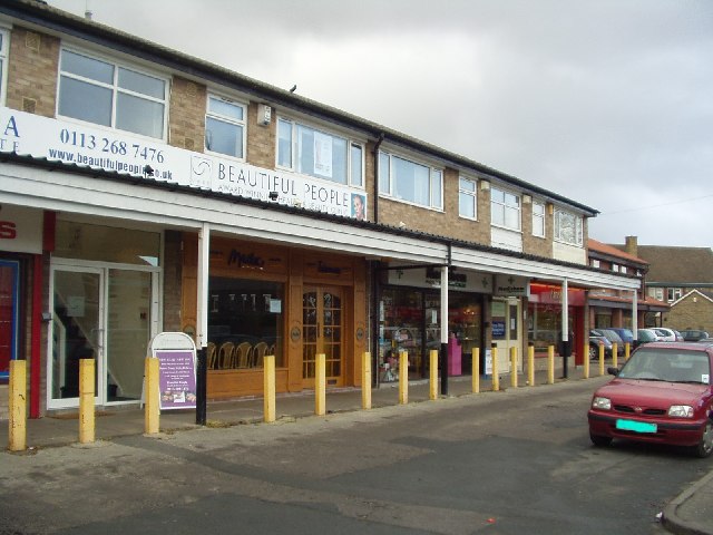
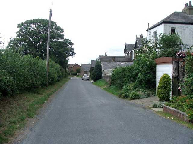
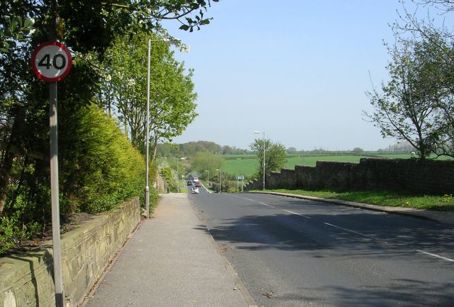
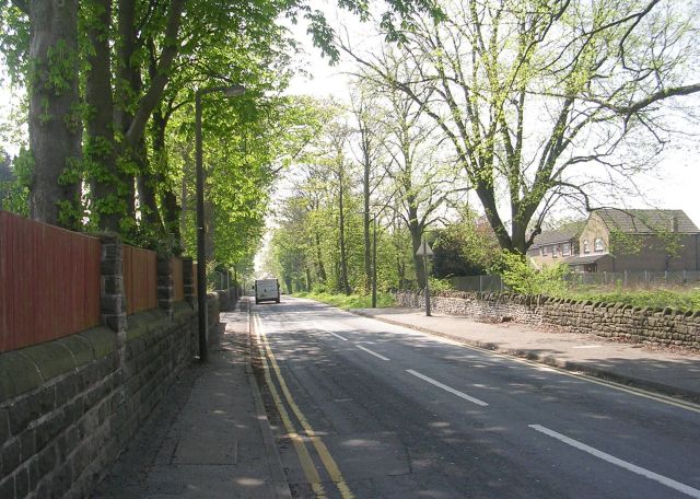
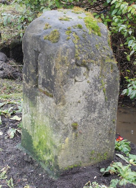
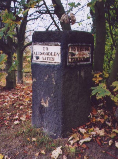
North Hills Wood Images
Images are sourced within 2km of 53.844392/-1.4955819 or Grid Reference SE3338. Thanks to Geograph Open Source API. All images are credited.


North Hills Wood is located at Grid Ref: SE3338 (Lat: 53.844392, Lng: -1.4955819)
Division: West Riding
Unitary Authority: Leeds
Police Authority: West Yorkshire
What 3 Words
///race.claps.flows. Near Shadwell, West Yorkshire
Nearby Locations
Related Wikis
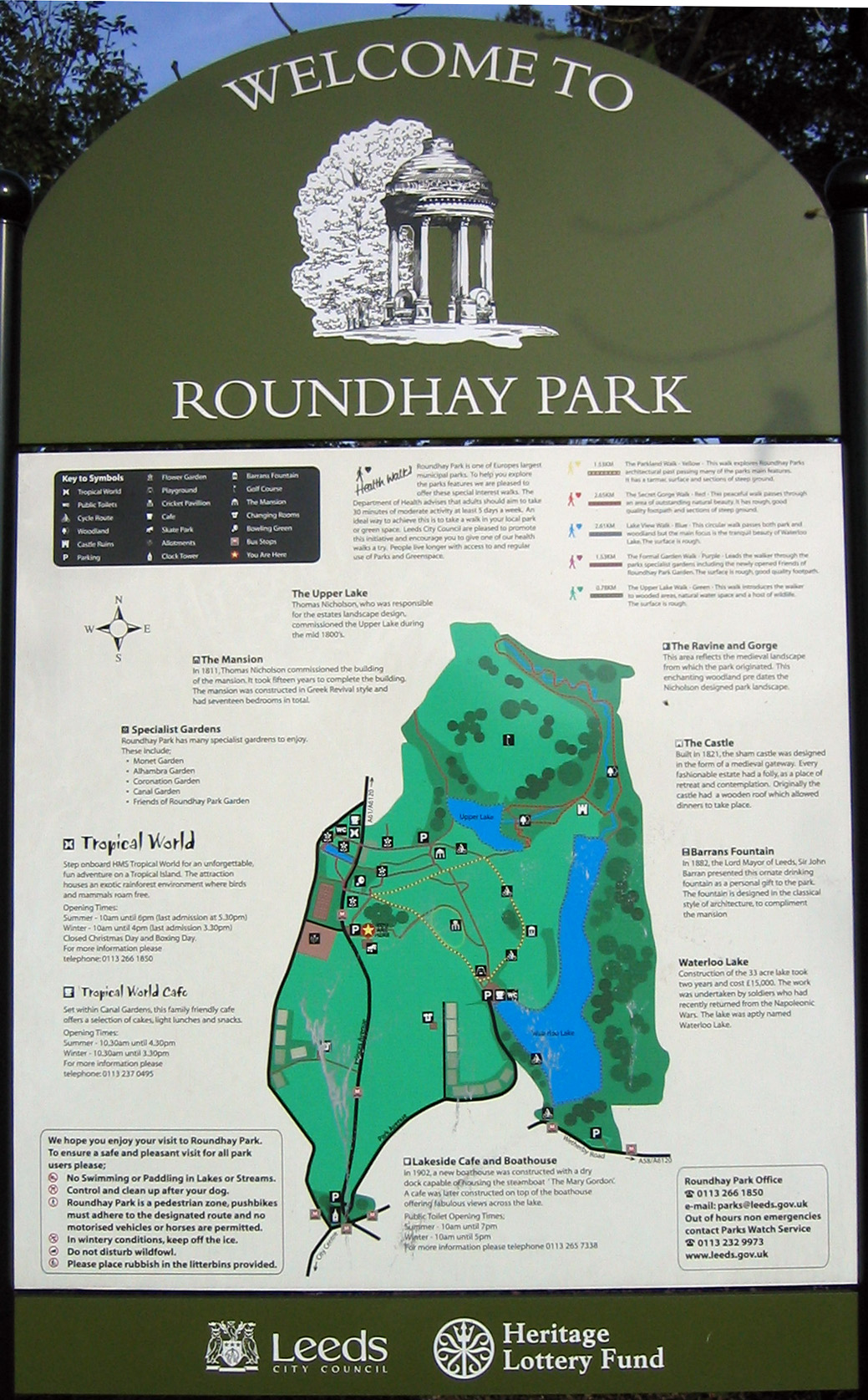
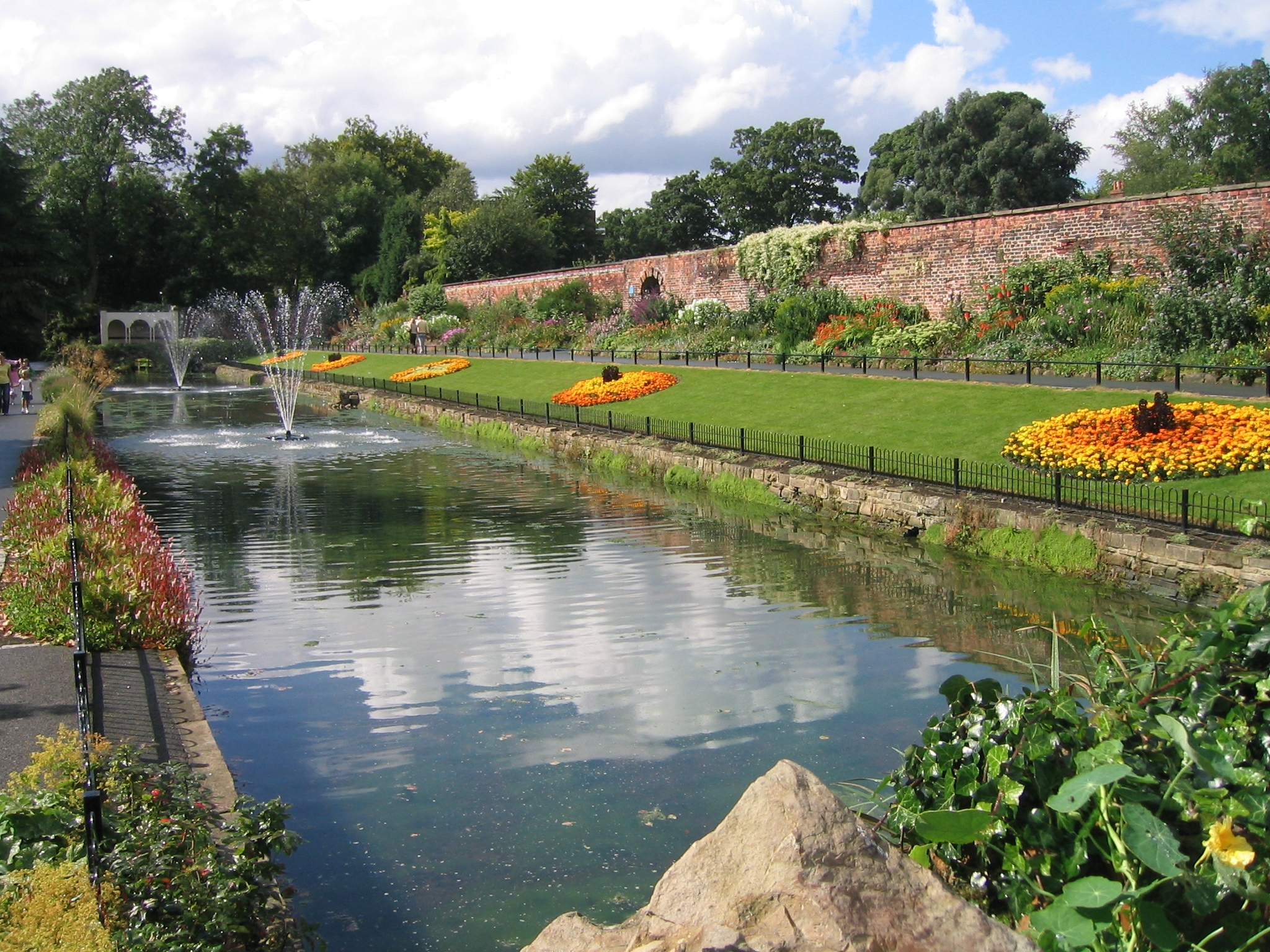
Roundhay Park
Roundhay Park in Leeds, West Yorkshire, England, is one of the biggest city parks in Europe. It covers more than 700 acres (2.8 km2) of parkland, lakes...

Tropical World (Leeds)
Tropical World is a butterfly house and animal attraction located in Leeds, West Yorkshire, England. It is a licensed zoo with membership of BIAZA and...
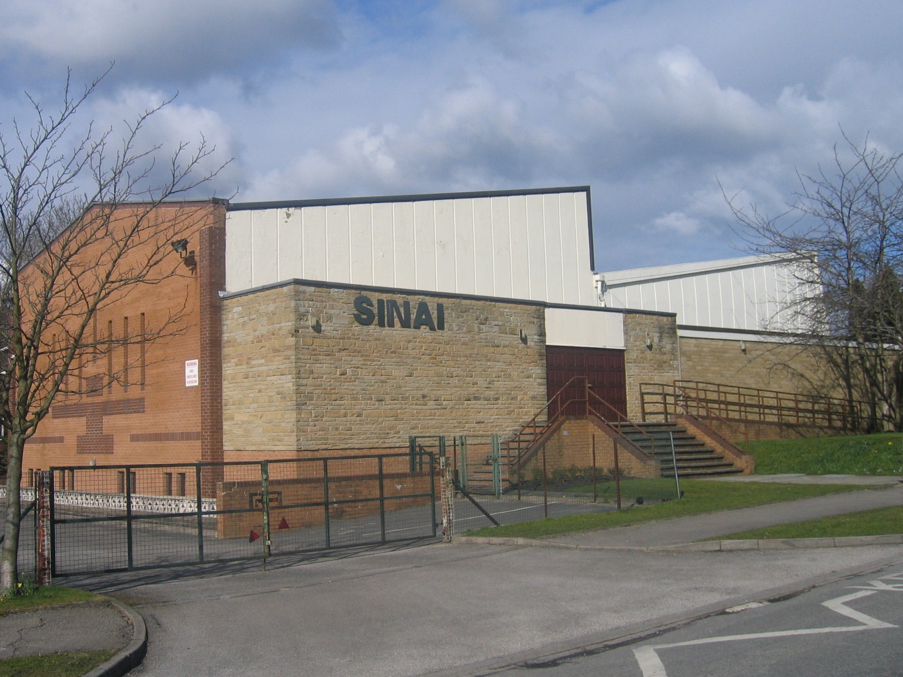
Sinai Synagogue (Leeds)
Sinai Synagogue is a Reform Jewish congregation on Roman Avenue in Roundhay, Leeds, West Yorkshire, England. It was founded in 1944 and is affiliated to...
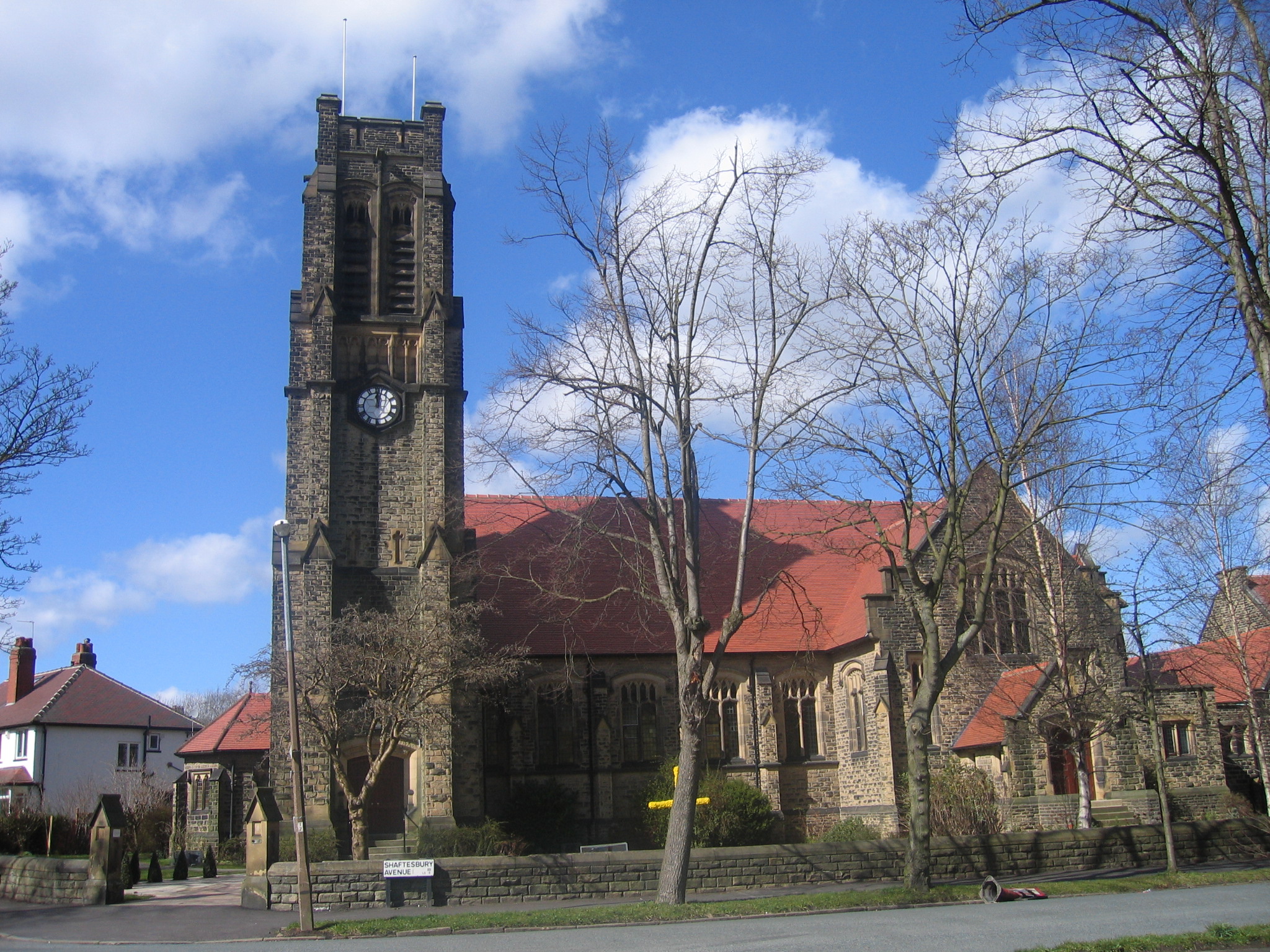
St Andrew's Roundhay United Reformed Church
St Andrew's Roundhay is in Shaftesbury Avenue, Roundhay, Leeds, West Yorkshire, England. It is an active United Reformed Church in Leeds. The church and...

Shadwell, West Yorkshire
Shadwell is a village and civil parish in north-east Leeds, West Yorkshire, England. The village is 6 miles (9.7 km) to the north east of Leeds city centre...

Leeds North East (UK Parliament constituency)
Leeds North East is a constituency which has been represented in the House of Commons of the UK Parliament since 1997 by Fabian Hamilton of the Labour...
Roundhay
Roundhay is a large suburb in north-east Leeds, West Yorkshire, England. Roundhay had a population of 22,546 in 2011.It sits in the Roundhay ward of Leeds...

Allerton Grange School
Allerton Grange School is a coeducational secondary school and sixth form located in Moortown, Leeds, West Yorkshire, England. The school has around 1...
Related Videos

History of Roundhay Park in Leeds
Roundhay Park in Leeds is one of the largest parks in Europe. This video traces the history of Roundhay Park, from its beginnings ...

Beautiful Autumn🍂 Day in Roundhay Park, Leeds📍#leeds #nature #autumnvibes #autumn #shorts #travel
A beautiful Autumn day in Roundhay Park Leeds ! An aerial footage with beautiful colours #beautifulcolours #parks #autumnvibes ...

The Mansion House, England 🏴
The Mansion House, Roundhay, Leeds, England SUBSCRIBE FOR MORE UPDATES My Instagram ...
Nearby Amenities
Located within 500m of 53.844392,-1.4955819Have you been to North Hills Wood?
Leave your review of North Hills Wood below (or comments, questions and feedback).