Upper Lake
Lake, Pool, Pond, Freshwater Marsh in Yorkshire
England
Upper Lake
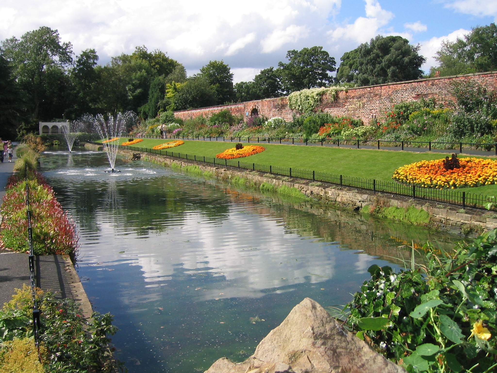
Upper Lake is a picturesque body of water located in the scenic region of Yorkshire, England. Nestled amidst a backdrop of rolling hills and lush greenery, this natural marvel is classified as a freshwater lake, pool, pond, and freshwater marsh, thanks to its diverse ecosystem.
Covering an area of approximately 10 acres, Upper Lake is a prime habitat for a wide variety of flora and fauna. The lake itself is crystal clear, its tranquil waters reflecting the beauty of the surrounding landscape. It is fed by several freshwater springs, ensuring a constant flow of clean, unpolluted water.
The lake is home to an abundance of aquatic plants, including lilies, reeds, and water lilies, which provide shelter and sustenance for a myriad of aquatic animals. Fish species such as perch, roach, and pike can be found swimming beneath the surface, attracting fishing enthusiasts from near and far.
Surrounding the lake, a freshwater marsh thrives with vibrant vegetation, including sedges and rushes. This marshland serves as a breeding ground and sanctuary for numerous bird species, such as mallards, herons, and swans. Birdwatchers flock to Upper Lake to catch glimpses of these magnificent creatures in their natural habitat.
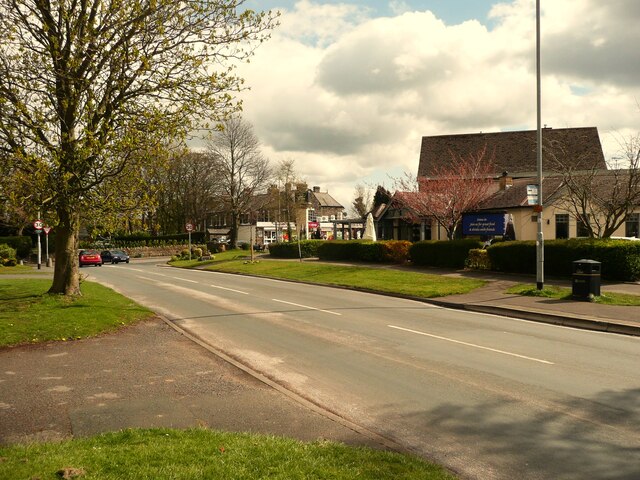
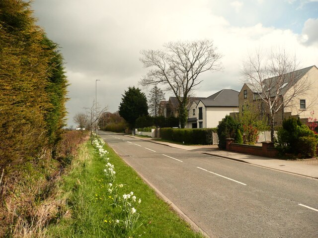
Visitors to Upper Lake can enjoy the peaceful ambiance and take leisurely walks along the well-maintained footpaths that encircle the water. The surrounding landscape offers breathtaking views and opportunities for nature photography. Additionally, the lake provides recreational activities such as fishing and boating, allowing visitors to immerse themselves in the natural splendor of Yorkshire.
In conclusion, Upper Lake is a captivating freshwater marvel in Yorkshire, boasting a diverse ecosystem that supports a range of plant and animal life. Its serene surroundings and recreational offerings make it a must-visit destination for nature enthusiasts and those seeking tranquility amidst the beauty of the English countryside.
If you have any feedback on the listing, please let us know in the comments section below.
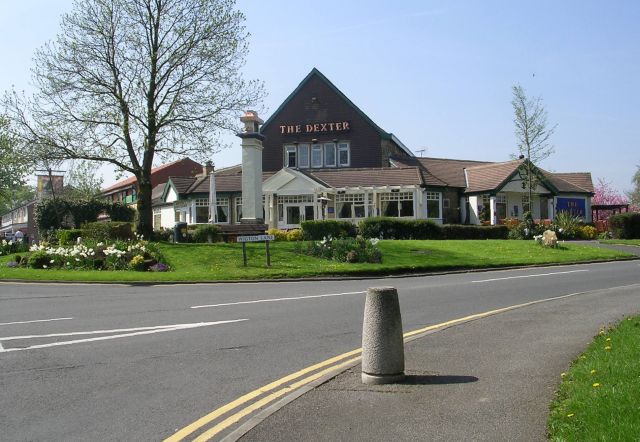
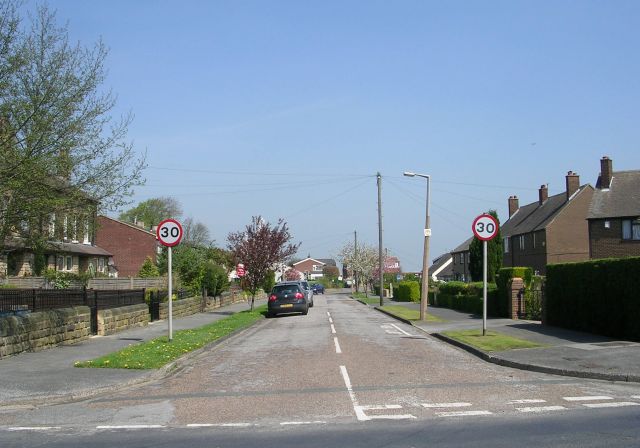
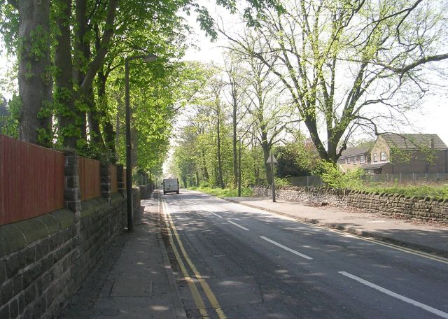
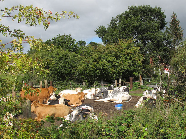
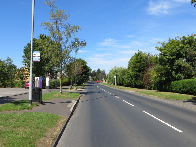
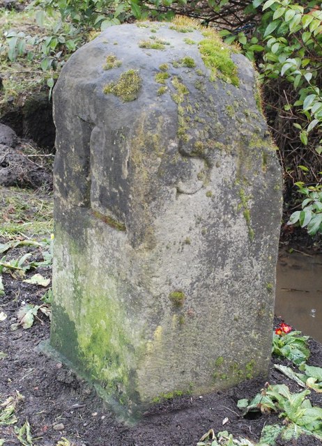
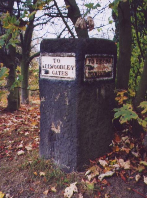
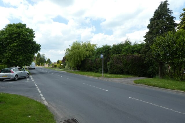
Upper Lake Images
Images are sourced within 2km of 53.840606/-1.4972079 or Grid Reference SE3338. Thanks to Geograph Open Source API. All images are credited.


Upper Lake is located at Grid Ref: SE3338 (Lat: 53.840606, Lng: -1.4972079)
Division: West Riding
Unitary Authority: Leeds
Police Authority: West Yorkshire
What 3 Words
///small.desks.clever. Near Shadwell, West Yorkshire
Nearby Locations
Related Wikis
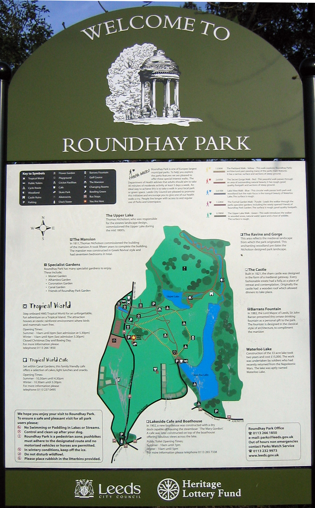
Roundhay Park
Roundhay Park in Leeds, West Yorkshire, England, is one of the biggest city parks in Europe. It covers more than 700 acres (2.8 km2) of parkland, lakes...

Tropical World (Leeds)
Tropical World is a butterfly house and animal attraction located in Leeds, West Yorkshire, England. It is a licensed zoo with membership of BIAZA and...
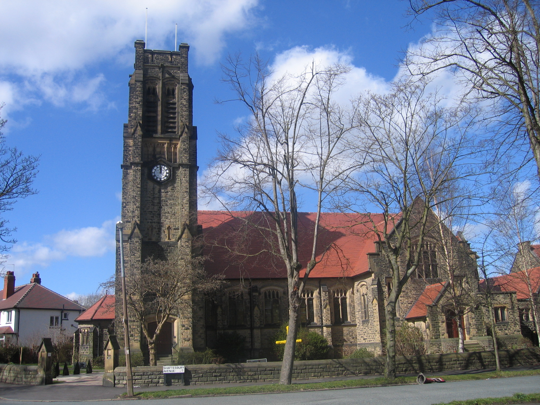
St Andrew's Roundhay United Reformed Church
St Andrew's Roundhay is in Shaftesbury Avenue, Roundhay, Leeds, West Yorkshire, England. It is an active United Reformed Church in Leeds. The church and...
Roundhay
Roundhay is a large suburb in north-east Leeds, West Yorkshire, England. Roundhay had a population of 22,546 in 2011.It sits in the Roundhay ward of Leeds...
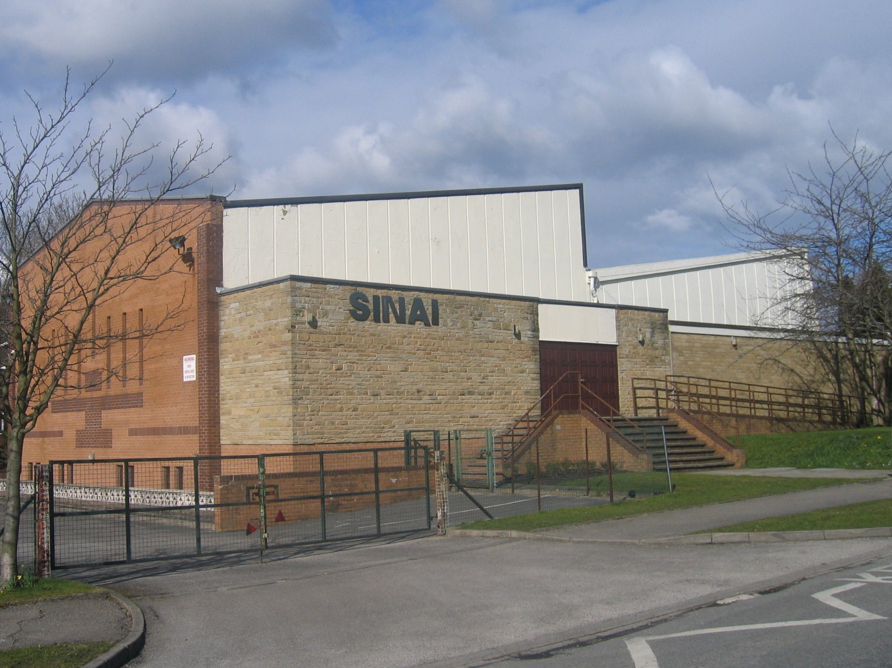
Sinai Synagogue (Leeds)
Sinai Synagogue is a Reform Jewish congregation on Roman Avenue in Roundhay, Leeds, West Yorkshire, England. It was founded in 1944 and is affiliated to...

Roundhay School
Roundhay School is a mixed, all-through and sixth form community school in Roundhay, Leeds, West Yorkshire, England. In 2020, the school received a World...

Leeds North East (UK Parliament constituency)
Leeds North East is a constituency which has been represented in the House of Commons of the UK Parliament since 1997 by Fabian Hamilton of the Labour...

Oakwood, Leeds
Oakwood is a suburb of north-east Leeds, West Yorkshire, England, that lies between Gipton and Roundhay Park. The suburb lies within the LS8 postcode and...
Nearby Amenities
Located within 500m of 53.840606,-1.4972079Have you been to Upper Lake?
Leave your review of Upper Lake below (or comments, questions and feedback).