Braim Wood
Wood, Forest in Yorkshire
England
Braim Wood
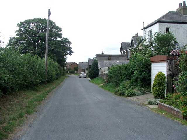
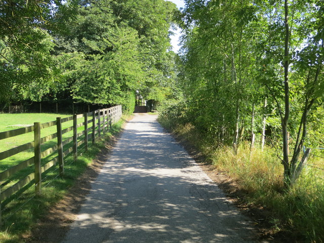
Braim Wood is a picturesque forest located in the county of Yorkshire, England. Covering an area of approximately 500 acres, it is a cherished natural gem that attracts visitors from near and far. The wood is situated on the eastern edge of Yorkshire, near the town of Scarborough, and is easily accessible by car or public transportation.
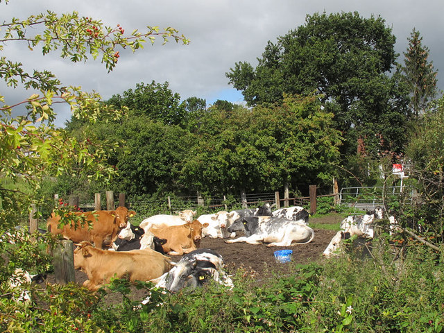
Braim Wood is known for its diverse range of flora and fauna, making it an ideal destination for nature enthusiasts and wildlife lovers. The forest is home to a variety of tree species, including oak, ash, birch, and beech, which create a dense canopy and provide a habitat for numerous bird species, such as woodpeckers and owls. Additionally, the forest floor is adorned with a carpet of vibrant wildflowers during the spring and summer months.
Visitors to Braim Wood can enjoy a multitude of outdoor activities. The forest boasts several well-marked walking trails, allowing visitors to explore its beauty at their own pace. These trails range in difficulty, making them suitable for both casual strolls and more challenging hikes. The wood also features designated picnic areas, where visitors can relax and enjoy a packed lunch amidst the tranquil surroundings.
Furthermore, Braim Wood is a popular spot for wildlife spotting and photography. The chance to see deer, rabbits, and squirrels in their natural habitat adds to the allure of this enchanting forest. It is important to note that the wood is protected, and visitors are kindly asked to adhere to the designated paths and respect the wildlife.
In conclusion, Braim Wood in Yorkshire is a captivating forest that offers a peaceful retreat for nature lovers. With its diverse ecosystem, well-maintained trails, and abundant wildlife, it is a must-visit destination for those seeking solace in the beauty of nature.
If you have any feedback on the listing, please let us know in the comments section below.
Braim Wood Images
Images are sourced within 2km of 53.839752/-1.4887078 or Grid Reference SE3338. Thanks to Geograph Open Source API. All images are credited.


![Shadwell Park [3] Shadwell Park Gardens, off Shadwell Park Avenue.](https://s0.geograph.org.uk/geophotos/03/04/45/3044500_66711ae4.jpg)
![Shadwell Park [4] Shadwell Park Close, off Shadwell Park Avenue.](https://s1.geograph.org.uk/geophotos/03/04/45/3044501_d0dde8a5.jpg)
![Shadwell Park [5] The first [or last] house in Shadwell Park Avenue is this dormer bungalow, totally untypical of the rest of the estate, which is mock-classical.](https://s3.geograph.org.uk/geophotos/03/04/45/3044503_f06ac2f5.jpg)


Braim Wood is located at Grid Ref: SE3338 (Lat: 53.839752, Lng: -1.4887078)
Division: West Riding
Unitary Authority: Leeds
Police Authority: West Yorkshire
What 3 Words
///bits.author.choice. Near Shadwell, West Yorkshire
Nearby Locations
Related Wikis
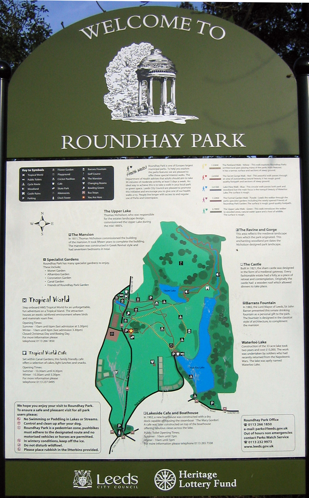
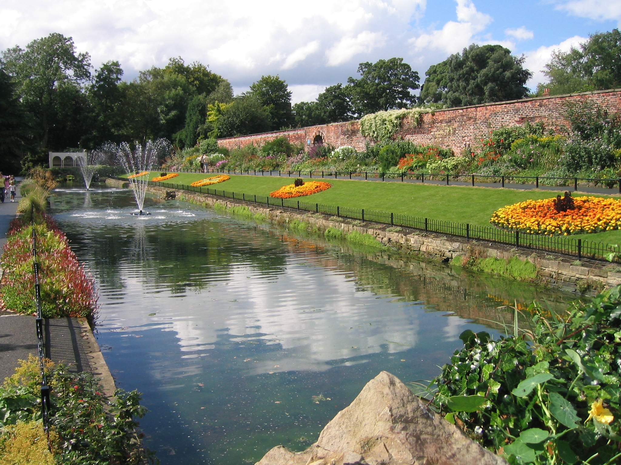
Roundhay Park
Roundhay Park in Leeds, West Yorkshire, England, is one of the biggest city parks in Europe. It covers more than 700 acres (2.8 km2) of parkland, lakes...

Tropical World (Leeds)
Tropical World is a butterfly house and animal attraction located in Leeds, West Yorkshire, England. It is a licensed zoo with membership of BIAZA and...
Roundhay
Roundhay is a large suburb in north-east Leeds, West Yorkshire, England. Roundhay had a population of 22,546 in 2011.It sits in the Roundhay ward of Leeds...
Leeds Rural District
Leeds was, from 1894 to 1912, a rural district in the administrative county of Yorkshire, West Riding, England. It comprised an area adjacent to, but not...
Nearby Amenities
Located within 500m of 53.839752,-1.4887078Have you been to Braim Wood?
Leave your review of Braim Wood below (or comments, questions and feedback).