The Gorge
Valley in Yorkshire
England
The Gorge
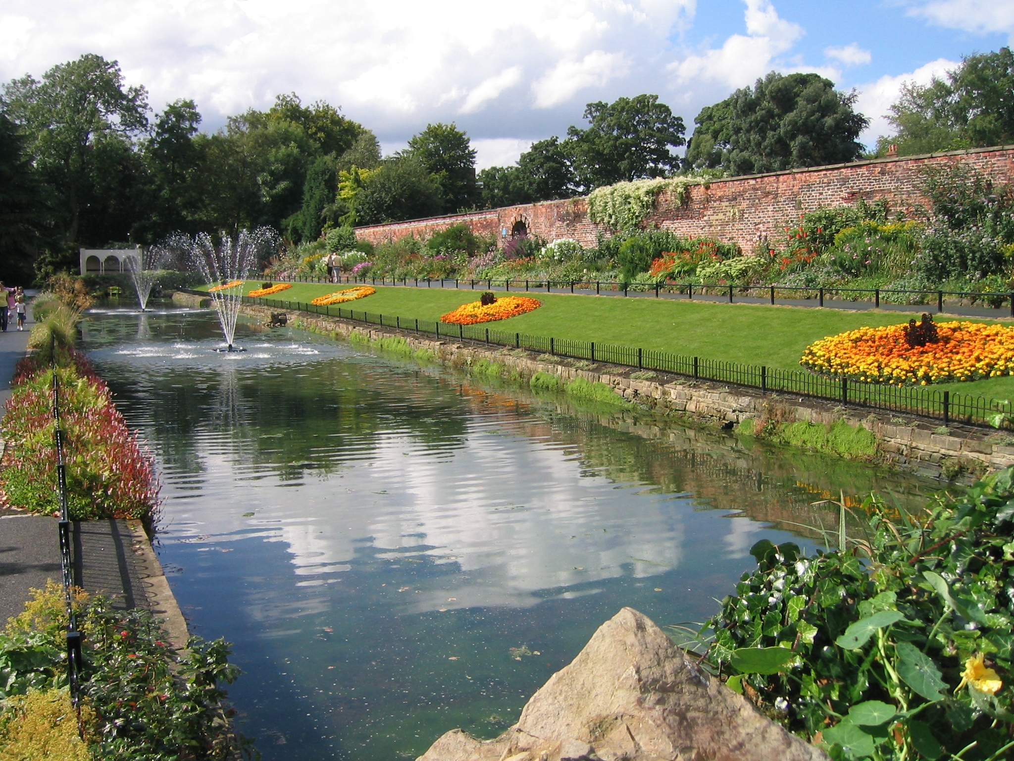
The Gorge, Yorkshire, also known as the Yorkshire Valley, is a breathtaking natural wonder located in the county of Yorkshire, England. Spanning approximately 5 miles in length, this scenic valley is situated within the Yorkshire Dales National Park and is renowned for its dramatic landscape and stunning vistas.
The Gorge is carved out by the River Wharfe, which meanders through the valley, creating steep-sided cliffs and rocky outcrops that add to the valley's picturesque charm. The river itself is known for its crystal-clear waters, which reflect the surrounding greenery and add to the valley's overall beauty.
The Gorge is a haven for nature enthusiasts and outdoor adventurers alike. Its diverse ecosystem supports a wide range of plant and animal species, making it an ideal location for wildlife spotting and birdwatching. The valley is also home to several walking trails and hiking routes that cater to all skill levels, allowing visitors to explore the area's natural wonders at their own pace.
Beyond its natural attractions, The Gorge is surrounded by quaint villages and historic sites, offering visitors the opportunity to immerse themselves in the rich cultural heritage of Yorkshire. The valley is dotted with charming stone cottages, traditional pubs, and tea rooms, providing a warm and welcoming atmosphere for tourists.
In conclusion, The Gorge, Yorkshire is a remarkable valley that showcases the picturesque beauty of the Yorkshire Dales National Park. With its dramatic landscape, clear river waters, and abundant wildlife, it offers a memorable experience for nature lovers and adventurers seeking to explore one of England's most stunning natural wonders.
If you have any feedback on the listing, please let us know in the comments section below.
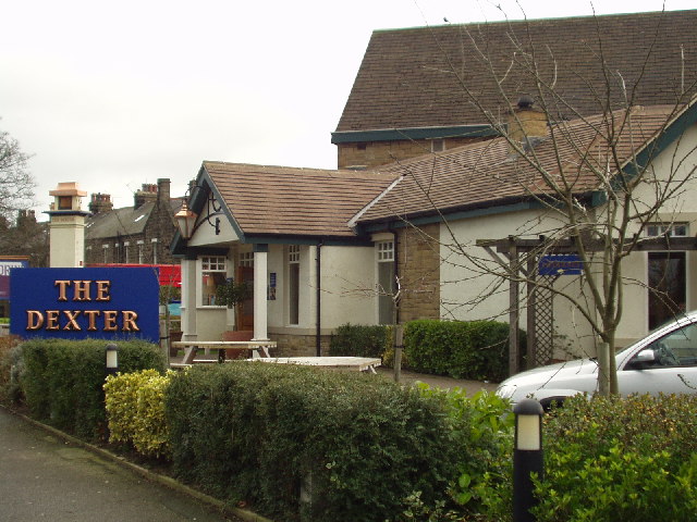
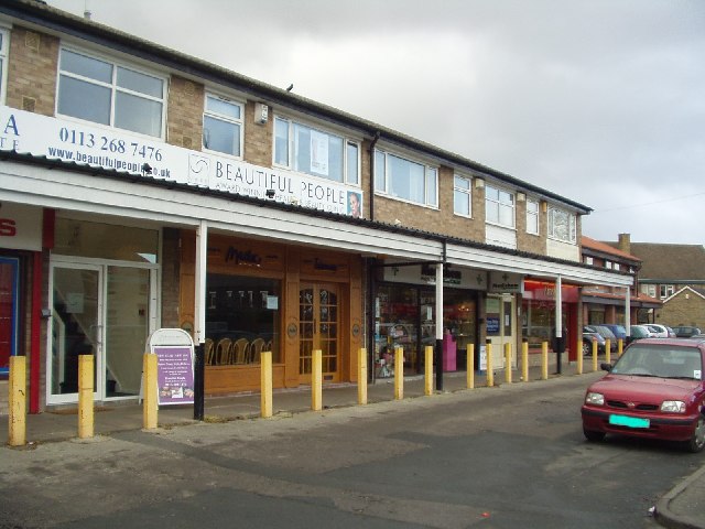
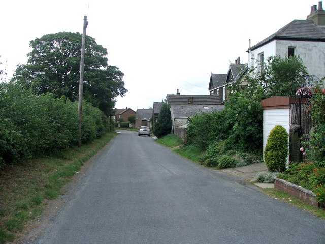
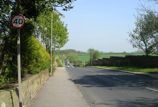
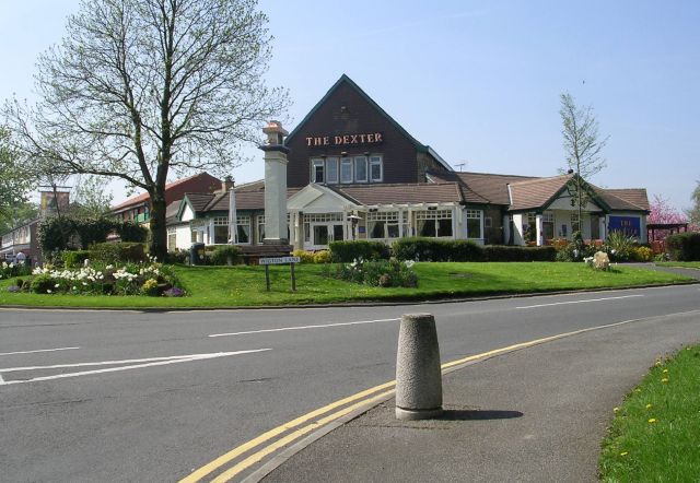
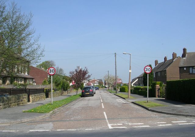
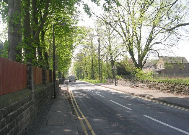
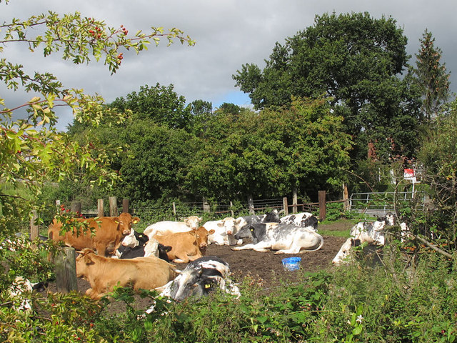
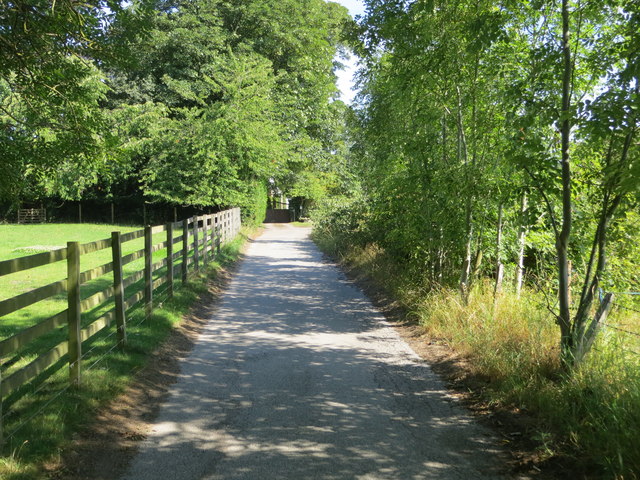
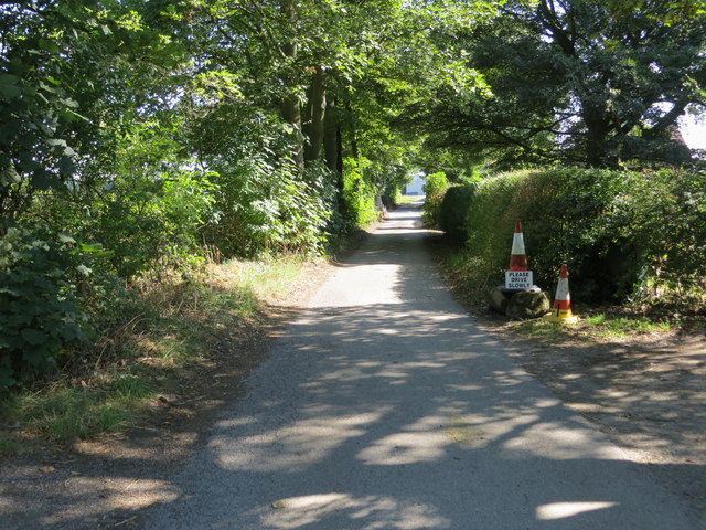
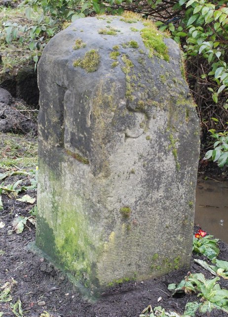
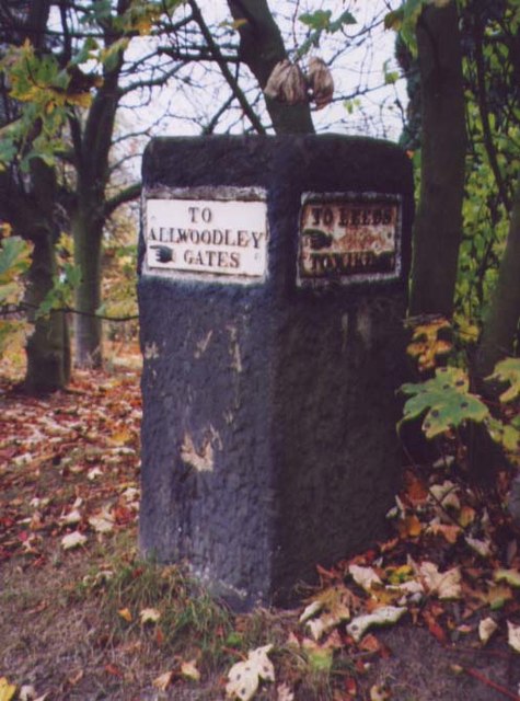
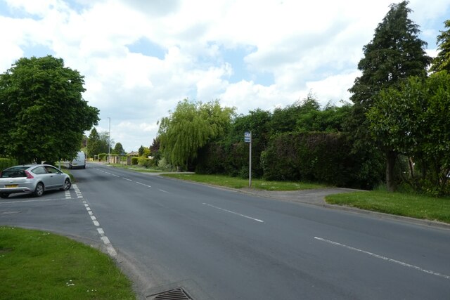
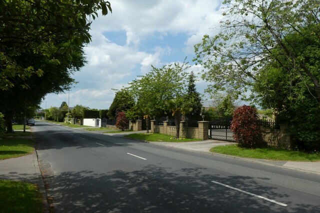
The Gorge Images
Images are sourced within 2km of 53.843201/-1.4903984 or Grid Reference SE3338. Thanks to Geograph Open Source API. All images are credited.
The Gorge is located at Grid Ref: SE3338 (Lat: 53.843201, Lng: -1.4903984)
Division: West Riding
Unitary Authority: Leeds
Police Authority: West Yorkshire
What 3 Words
///became.glue.acted. Near Shadwell, West Yorkshire
Nearby Locations
Related Wikis
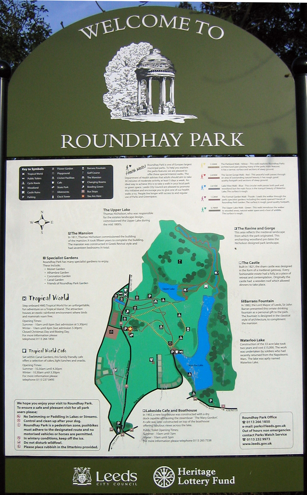
Roundhay Park
Roundhay Park in Leeds, West Yorkshire, England, is one of the biggest city parks in Europe. It covers more than 700 acres (2.8 km2) of parkland, lakes...

Tropical World (Leeds)
Tropical World is a butterfly house and animal attraction located in Leeds, West Yorkshire, England. It is a licensed zoo with membership of BIAZA and...

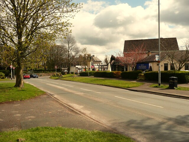
Shadwell, West Yorkshire
Shadwell is a village and civil parish in north-east Leeds, West Yorkshire, England. The village is 6 miles (9.7 km) to the north east of Leeds city centre...
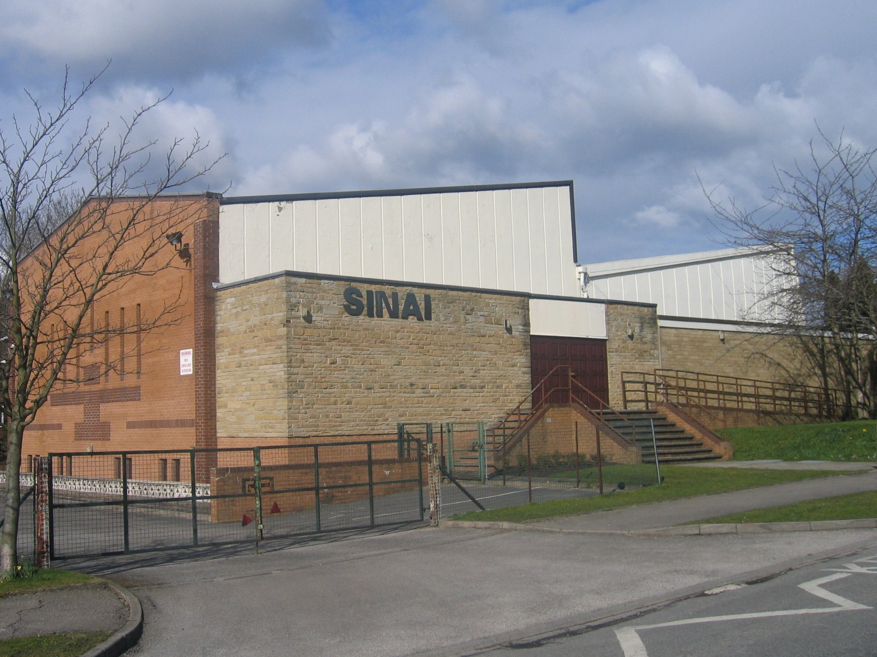
Sinai Synagogue (Leeds)
Sinai Synagogue is a Reform Jewish congregation on Roman Avenue in Roundhay, Leeds, West Yorkshire, England. It was founded in 1944 and is affiliated to...
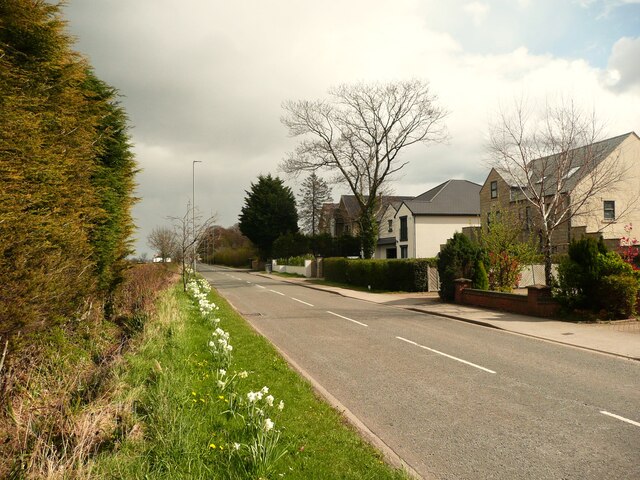
Roundhay
Roundhay is a large suburb in north-east Leeds, West Yorkshire, England. Roundhay had a population of 22,546 in 2011.It sits in the Roundhay ward of Leeds...
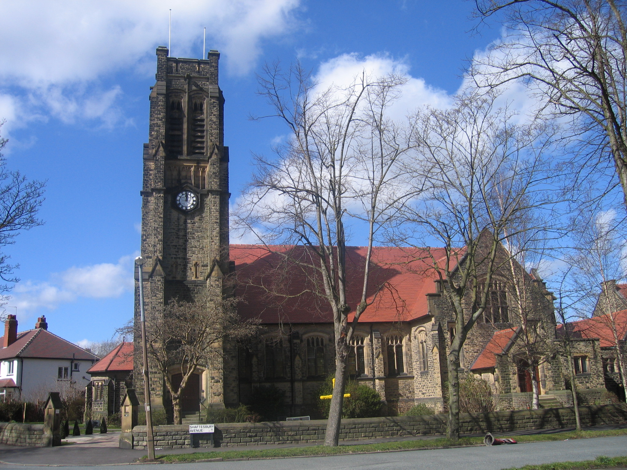
St Andrew's Roundhay United Reformed Church
St Andrew's Roundhay is in Shaftesbury Avenue, Roundhay, Leeds, West Yorkshire, England. It is an active United Reformed Church in Leeds. The church and...
Leeds Rural District
Leeds was, from 1894 to 1912, a rural district in the administrative county of Yorkshire, West Riding, England. It comprised an area adjacent to, but not...

Leeds North East (UK Parliament constituency)
Leeds North East is a constituency which has been represented in the House of Commons of the UK Parliament since 1997 by Fabian Hamilton of the Labour...
Related Videos

History of Roundhay Park in Leeds
Roundhay Park in Leeds is one of the largest parks in Europe. This video traces the history of Roundhay Park, from its beginnings ...


Roundhay Park (2021) Travel Film
This Video is MT's Property - Do Not Reupload Elsewhere Without Permission! 2160p 4K HD! Hello everyone, MT here with the ...
Nearby Amenities
Located within 500m of 53.843201,-1.4903984Have you been to The Gorge?
Leave your review of The Gorge below (or comments, questions and feedback).