Reformatory Copse

Wood, Forest in Hampshire New Forest

England

Reformatory Copse

The Haywain on Southampton Road The Haywain is a Stonehouse public house.
The Haywain on Southampton Road Credit: Steve Daniels

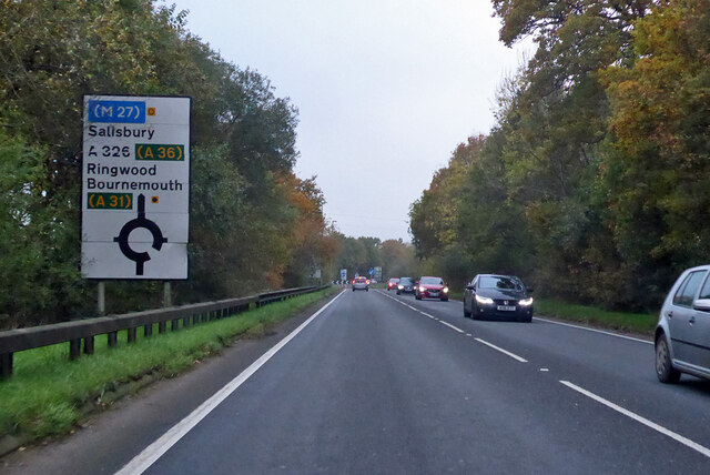
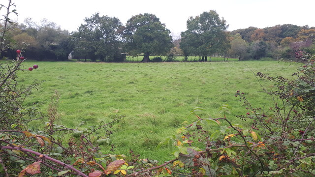
Reformatory Copse is a picturesque woodland located in Hampshire, England. Sprawling across an area of approximately 20 acres, this charming copse is a haven for nature enthusiasts and outdoor adventurers alike. Nestled amidst the rolling hills and verdant countryside, it offers a serene retreat from the hustle and bustle of urban life.

The copse is primarily composed of a mix of broadleaf trees, including oak, beech, and ash, which create a dense canopy overhead. This creates a cool and shaded environment, perfect for leisurely walks and exploration. The forest floor is adorned with a rich carpet of bluebells in the spring, transforming the copse into a magical wonderland.

Reformatory Copse is home to a diverse range of wildlife, making it a popular spot for birdwatchers and nature lovers. Visitors can expect to spot various species of birds, including woodpeckers, nuthatches, and tawny owls. Squirrels and rabbits are also commonly seen darting amongst the undergrowth.

The copse is crisscrossed by a network of well-maintained footpaths, allowing visitors to easily navigate through the woodland. There are also several benches strategically placed along the trails, providing a perfect opportunity to rest and soak in the tranquil surroundings.

Reformatory Copse is open year-round, and admission is free. It is a popular destination for families, walkers, and photographers, who flock to the copse to capture its natural beauty. With its peaceful ambiance and abundant wildlife, Reformatory Copse is truly a hidden gem in the heart of Hampshire.

If you have any feedback on the listing, please let us know in the comments section below.

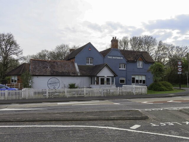
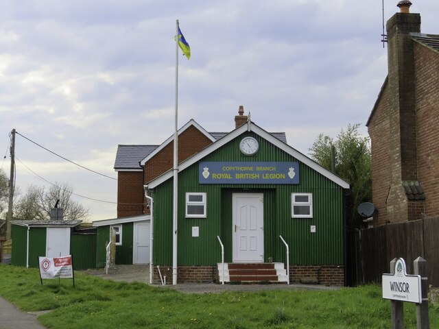
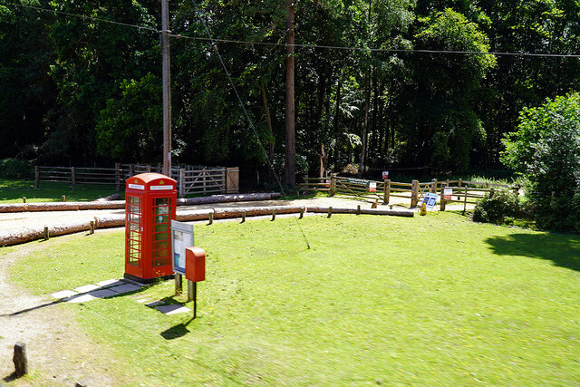
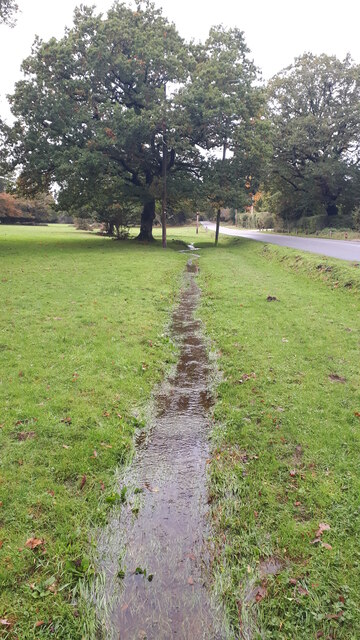
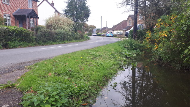
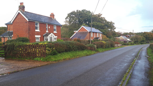
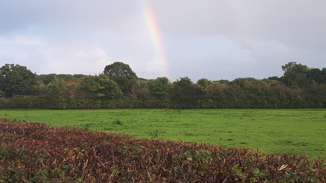
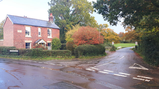
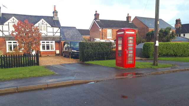
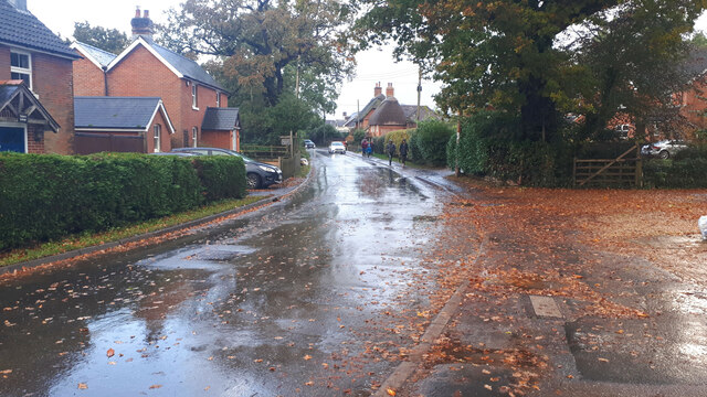
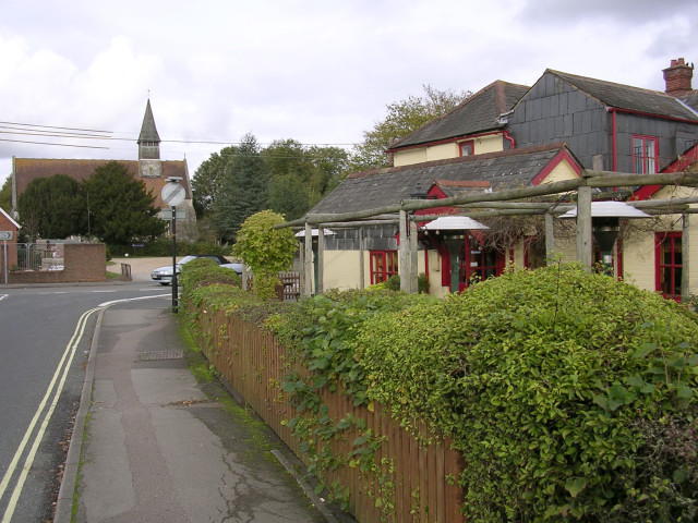
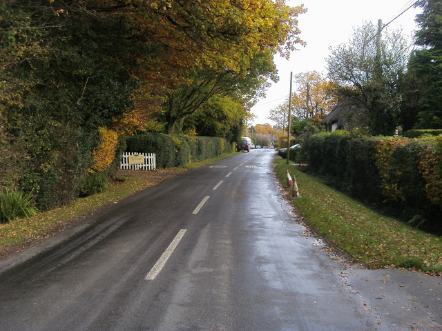
Reformatory Copse Images

Images are sourced within 2km of 50.915586/-1.5403531 or Grid Reference SU3213. Thanks to Geograph Open Source API. All images are credited.

The Haywain on Southampton Road The Haywain is a Stonehouse public house.
The Haywain on Southampton Road
The Haywain is a Stonehouse public house.
The Royal British Legion in Cadnam
Morrisons Supermarket This large branch of Morrisons is on the western edge of Totton close to the bypass.
Morrisons Supermarket
This large branch of Morrisons is on the western edge of Totton close to the bypass.
Communication centre - Woodlands Well, it's just a postbox, noticeboard and a TCB - but the TCB has been decommissioned! The track leads into Busketts Lawn Inclosure
Communication centre - Woodlands
Well, it's just a postbox, noticeboard and a TCB - but the TCB has been decommissioned! The track leads into Busketts Lawn Inclosure
A326 northwards towards M27
A326 northwards towards M27 Approaching the roundabout crossing of the A336.
A326 northwards towards M27
Approaching the roundabout crossing of the A336.
A326 northwards towards M27
Modern housing in West Totton The end of Shetland Close seen from Stonechat Drive.
Modern housing in West Totton
The end of Shetland Close seen from Stonechat Drive.
The White Horse public house, Netley Marsh
Roadside stream The ground is saturated and water is flowing over the grass in this small channel beside Woodlands Road.
Roadside stream
The ground is saturated and water is flowing over the grass in this small channel beside Woodlands Road.
Field beside Bartley Road
Full ditch beside Woodlands Road This roadside ditch appears to be near capacity on the last day of October, and will overflow into gardens before reaching the road level.
Full ditch beside Woodlands Road
This roadside ditch appears to be near capacity on the last day of October, and will overflow into gardens before reaching the road level.
Cottages on Chinham Road
Rainbow over field south of Chinham Road
Cottage on a corner at Bartley
Houses and former telephone kiosk at Bartley Now a village information point.
Houses and former telephone kiosk at Bartley
Now a village information point.
Wet walk home Schoolchildren walking home along Winsor Road after a heavy shower.
Wet walk home
Schoolchildren walking home along Winsor Road after a heavy shower.
Show me another place!

Reformatory Copse is located at Grid Ref: SU3213 (Lat: 50.915586, Lng: -1.5403531)

Administrative County: Hampshire

District: New Forest

Police Authority: Hampshire

What 3 Words

///textiles.hails.shepherds. Near Cadnam, Hampshire

Related Wikis

Netley Marsh

Netley Marsh is a village and civil parish in Hampshire, close to the town of Totton. It lies within the New Forest District, and the New Forest National...

Winsor, Hampshire

Winsor is a village in the civil parish of Copythorne, in Hampshire, England. It is situated within the boundaries of the New Forest National Park. Surrounding...

Woodlands, Hampshire

Woodlands is a village in the New Forest National Park of Hampshire, England. The village lies 6 miles (9.7 km) west from Southampton and 2+3⁄4 miles...

Bartley, Hampshire

Bartley is a village in Hampshire, England, within the boundaries of the New Forest National Park, seven miles (11 km) west of Southampton. == Overview... ==

Tatchbury Mount Hospital

Tatchbury Mount Hospital is a health facility to the north of Totton, Hampshire, England. It is owned and managed by Southern Health NHS Foundation Trust...

Copythorne

Copythorne is a village and civil parish in Hampshire, England, within the boundaries of the New Forest National Park. == Overview == Copythorne is in...

Totton College

Totton College is a further education college located in Totton, Hampshire, providing courses for mainly 16- to 19-year-olds as well as adult education...

Bartley Lodge

Bartley Lodge is a country house near Cadnam in Hampshire, England, within the boundaries of the New Forest National Park. It was built in the 18th century...

Nearby Amenities

Located within 500m of 50.915586,-1.5403531
Bus Stop
Tatchbury Lane
Bus: yes
Naptan AtcoCode: 1900HA081165
Naptan Bearing: E
Naptan CommonName: Tatchbury Lane
Naptan Crossing: Tatchbury Lane
Naptan NaptanCode: hamamadm
Naptan Street: Ringwood Road
Naptan Verified: no
Public Transport: platform
Source: naptan_import
Lat/Long: 50.9166488/-1.5358999
Bus Stop
Tatchbury Lane
Bus: yes
Naptan AtcoCode: 1900HA081166
Naptan Bearing: W
Naptan CommonName: Tatchbury Lane
Naptan Crossing: Tatchbury Lane
Naptan NaptanCode: hamamadp
Naptan Street: Ringwood Road
Naptan Verified: no
Public Transport: platform
Source: naptan_import
Lat/Long: 50.9163695/-1.5357746
Material: wood
Power: pole
Lat/Long: 50.9158147/-1.5363972
Material: wood
Operator: Scottish and southern Energy
Power: pole
Lat/Long: 50.9163206/-1.5355251
Material: wood
Operator: Scottish and southern Energy
Power: pole
Lat/Long: 50.9153302/-1.5369089
Material: wood
Operator: Scottish and southern Energy
Power: pole
Lat/Long: 50.9152652/-1.5380989
Material: wood
Operator: Scottish and southern Energy
Power: pole
Lat/Long: 50.9161472/-1.5392285
Material: wood
Operator: Scottish and southern Energy
Power: pole
Lat/Long: 50.9141442/-1.5366819
Material: wood
Operator: Scottish and southern Energy
Poles: bipole
Power: pole
Lat/Long: 50.9132789/-1.5355718
Material: wood
Operator: Scottish and southern Energy
Power: pole
Lat/Long: 50.9130251/-1.5344981
Power: pole
Source: bing
Lat/Long: 50.9184246/-1.5435979
Power: pole
Source: bing
Lat/Long: 50.9172274/-1.5412791
Power: pole
Source: bing
Lat/Long: 50.917853/-1.5425196
Hilly Copse
Ele: 42
Man Made: survey_point
Natural: peak
Lat/Long: 50.9140885/-1.5368145
The data included in this document is from www.openstreetmap.org. The data is made available under ODbL.

Have you been to Reformatory Copse?

Leave your review of Reformatory Copse below (or comments, questions and feedback).