Goddards Copse

Wood, Forest in Hampshire New Forest

England

Goddards Copse

The Haywain on Southampton Road The Haywain is a Stonehouse public house.
The Haywain on Southampton Road Credit: Steve Daniels

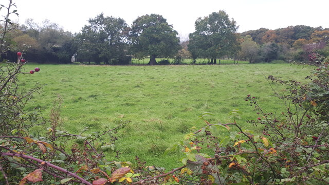
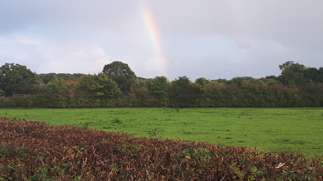
Goddards Copse is a picturesque woodland located in Hampshire, England. Covering an area of approximately 60 acres, it is a popular destination for nature lovers, hikers, and birdwatchers. The copse is situated within the South Downs National Park, renowned for its diverse flora and fauna.

The forest is predominantly composed of broadleaf trees, including oak, beech, and ash, which create a dense canopy, providing shade and shelter for a variety of wildlife. The forest floor is adorned with a rich carpet of bluebells and wildflowers during the spring, attracting numerous species of butterflies and bees.

Goddards Copse boasts a network of well-maintained walking trails, allowing visitors to explore the peaceful surroundings at their own pace. The trails wind through the woodland, offering breathtaking views of the surrounding countryside. Along the way, visitors may encounter various wildlife such as deer, foxes, and rabbits.

Bird enthusiasts will be delighted by the copse's avian inhabitants. The woodland is home to a plethora of bird species, including woodpeckers, owls, and various songbirds. Ornithologists can spend hours observing and listening to the melodic calls of the feathered residents.

Goddards Copse offers a tranquil retreat from the bustling city life, providing a serene atmosphere where visitors can reconnect with nature. Its natural beauty, diverse ecosystem, and accessibility make it a must-visit destination for anyone seeking to immerse themselves in the enchanting Hampshire countryside.

If you have any feedback on the listing, please let us know in the comments section below.

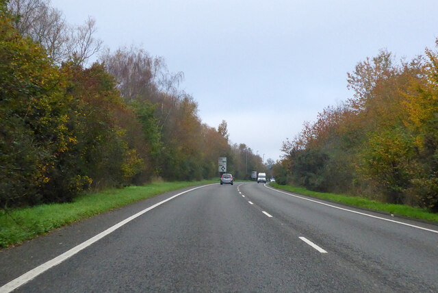
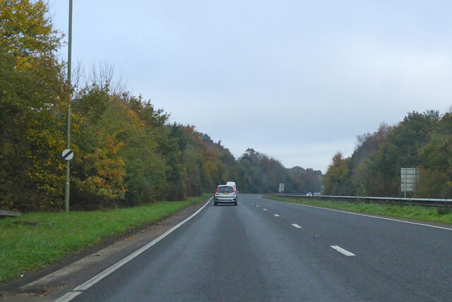
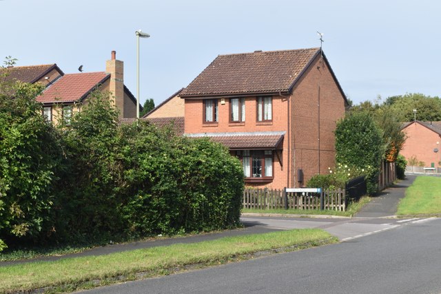
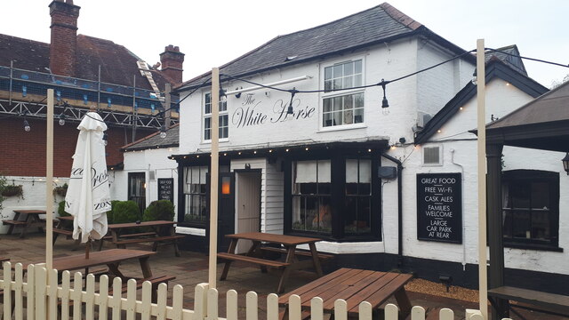
Goddards Copse Images

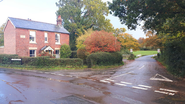
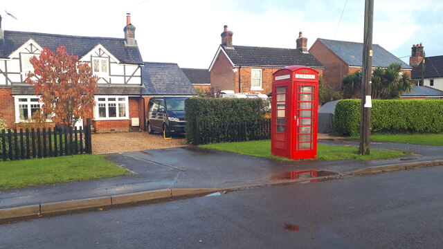
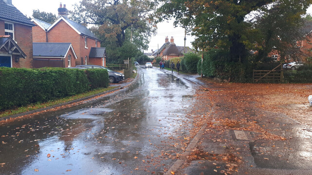
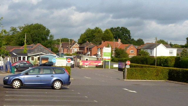
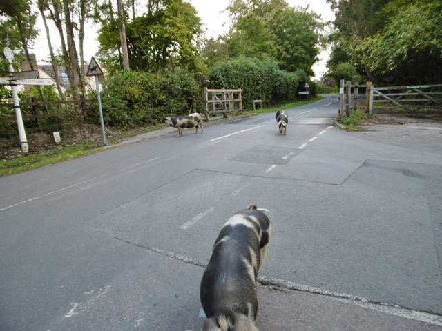
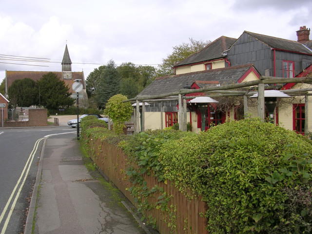
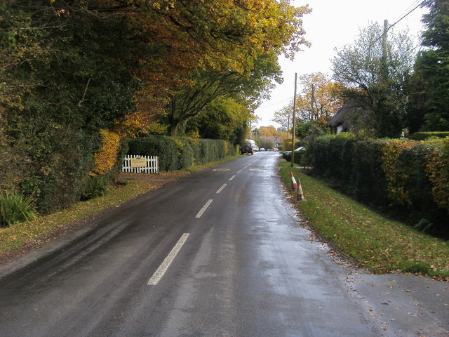
Images are sourced within 2km of 50.917643/-1.5445152 or Grid Reference SU3213. Thanks to Geograph Open Source API. All images are credited.

The Haywain on Southampton Road The Haywain is a Stonehouse public house.
The Haywain on Southampton Road
The Haywain is a Stonehouse public house.
The Royal British Legion in Cadnam
Morrisons Supermarket This large branch of Morrisons is on the western edge of Totton close to the bypass.
Morrisons Supermarket
This large branch of Morrisons is on the western edge of Totton close to the bypass.
A326 northwards towards M27 Approaching the roundabout crossing of the A336.
A326 northwards towards M27
Approaching the roundabout crossing of the A336.
A326 northwards towards M27
Modern housing in West Totton The end of Shetland Close seen from Stonechat Drive.
Modern housing in West Totton
The end of Shetland Close seen from Stonechat Drive.
The White Horse public house, Netley Marsh
Field beside Bartley Road
Full ditch beside Woodlands Road This roadside ditch appears to be near capacity on the last day of October, and will overflow into gardens before reaching the road level.
Full ditch beside Woodlands Road
This roadside ditch appears to be near capacity on the last day of October, and will overflow into gardens before reaching the road level.
Cottages on Chinham Road
Rainbow over field south of Chinham Road
Cottage on a corner at Bartley
Houses and former telephone kiosk at Bartley Now a village information point.
Houses and former telephone kiosk at Bartley
Now a village information point.
Wet walk home Schoolchildren walking home along Winsor Road after a heavy shower.
Wet walk home
Schoolchildren walking home along Winsor Road after a heavy shower.
Cadnam Garden Centre car park, 1 A Wyevale branded centre. Looking towards the entrance/exit and the main road through the village.
Cadnam Garden Centre car park, 1
A Wyevale branded centre. Looking towards the entrance/exit and the main road through the village.
Cadnam Garden Centre car park, 2 Looking towards the main building.
Cadnam Garden Centre car park, 2
Looking towards the main building.
Woodlands, pannage pigs Foraging on Bartley Road, in the Open Forest. Registered and ringed pigs are allowed out for up to three months, to look for beech mast and acorns, which can be toxic in quantity to other livestock. The leading pig had to be discouraged from tasting my boots. <span class="nowrap"><a title="http://www.newforest.hampshire.org.uk/today1.html" rel="nofollow ugc noopener" href="http://www.newforest.hampshire.org.uk/today1.html">Link</a><img style="margin-left:2px;" alt="External link" title="External link - shift click to open in new window" src="https://s1.geograph.org.uk/img/external.png" width="10" height="10"/></span>
Woodlands, pannage pigs
Foraging on Bartley Road, in the Open Forest. Registered and ringed pigs are allowed out for up to three months, to look for beech mast and acorns, which can be toxic in quantity to other livestock. The leading pig had to be discouraged from tasting my boots. LinkExternal link
Show me another place!

Goddards Copse is located at Grid Ref: SU3213 (Lat: 50.917643, Lng: -1.5445152)

Administrative County: Hampshire

District: New Forest

Police Authority: Hampshire

What 3 Words

///plot.surprises.dare. Near Cadnam, Hampshire

Related Wikis

Winsor, Hampshire

Winsor is a village in the civil parish of Copythorne, in Hampshire, England. It is situated within the boundaries of the New Forest National Park. Surrounding...

Netley Marsh

Netley Marsh is a village and civil parish in Hampshire, close to the town of Totton. It lies within the New Forest District, and the New Forest National...

Bartley, Hampshire

Bartley is a village in Hampshire, England, within the boundaries of the New Forest National Park, seven miles (11 km) west of Southampton. == Overview... ==

Woodlands, Hampshire

Woodlands is a village in the New Forest National Park of Hampshire, England. The village lies 6 miles (9.7 km) west from Southampton and 2+3⁄4 miles...

Nearby Amenities

Located within 500m of 50.917643,-1.5445152
Post Box
Collection Plate: CP5
Collection Times: Mo-Fr 16:45; Sa 07:00
Operator: Royal Mail
Operator Wikidata: Q638098
Post Box Type: wall
Ref: SO40 421
Royal Cypher: EVIIR
Royal Cypher Wikidata: Q33102324
Lat/Long: 50.9148805/-1.5484625
Material: wood
Operator: Scottish and southern Energy
Power: pole
Lat/Long: 50.9161472/-1.5392285
Power: pole
Source: bing
Transformer: distribution
Lat/Long: 50.9213608/-1.5478814
Power: pole
Source: bing
Lat/Long: 50.9216246/-1.5475582
Power: pole
Source: bing
Lat/Long: 50.9211951/-1.5473878
Power: pole
Source: bing
Lat/Long: 50.9210353/-1.5473101
Power: pole
Source: bing
Lat/Long: 50.9201493/-1.5468849
Power: pole
Source: bing
Lat/Long: 50.9193715/-1.5453909
Power: pole
Source: bing
Lat/Long: 50.9184246/-1.5435979
Power: pole
Source: bing
Lat/Long: 50.9172274/-1.5412791
Power: pole
Source: bing
Lat/Long: 50.917853/-1.5425196
Clock
Display: sundial
Lat/Long: 50.9180027/-1.5480643
The data included in this document is from www.openstreetmap.org. The data is made available under ODbL.

Have you been to Goddards Copse?

Leave your review of Goddards Copse below (or comments, questions and feedback).