Cathanger Wood

Wood, Forest in Wiltshire

England

Cathanger Wood

Chute Causeway Looking eastward in the direction of Cornholt.
Chute Causeway Credit: Peter Wood

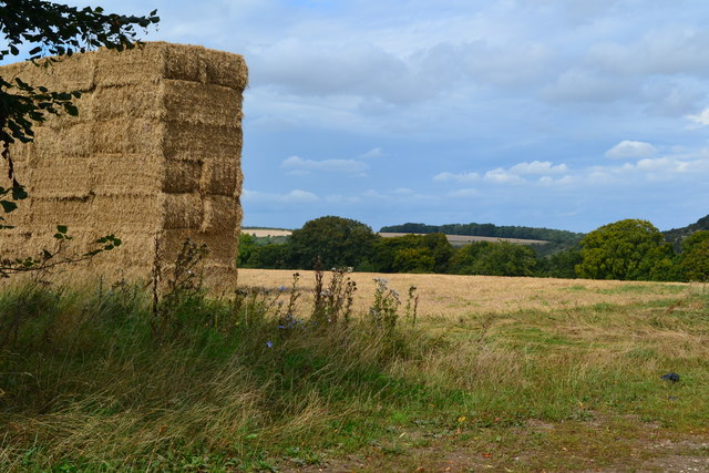
Cathanger Wood is a picturesque woodland located in Wiltshire, England. Spanning approximately 50 acres, it is situated near the village of Tisbury, just a few miles south of the iconic Salisbury Plain. The wood is part of the larger Cranborne Chase and West Wiltshire Downs Area of Outstanding Natural Beauty.

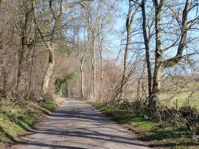
With its serene atmosphere and diverse ecosystem, Cathanger Wood attracts nature enthusiasts and outdoor lovers from near and far. The wood is primarily composed of broadleaf trees, including oak, beech, ash, and hazel, creating a rich canopy that offers shade and shelter to an array of wildlife.

The woodland floor is adorned with a vibrant carpet of bluebells during spring, while in summer, the undergrowth comes alive with ferns, mosses, and wildflowers. The wood is also home to a variety of bird species, including woodpeckers, owls, and warblers, making it a haven for birdwatchers.

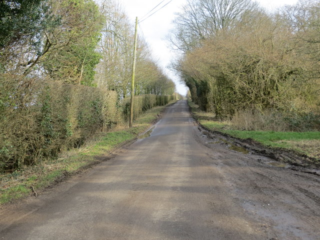
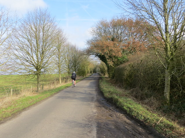
Cathanger Wood is crisscrossed with a network of footpaths and trails, allowing visitors to explore its enchanting beauty. The wood is managed by the local council, which maintains the paths and ensures the preservation of its natural heritage.

Aside from its natural splendor, Cathanger Wood is also steeped in history. It is believed to have been part of a medieval hunting ground, and remnants of ancient earthworks and boundaries can still be seen within its boundaries.

Overall, Cathanger Wood offers a tranquil escape from the hustle and bustle of modern life, providing a haven for both wildlife and visitors seeking solace in nature's embrace.

If you have any feedback on the listing, please let us know in the comments section below.

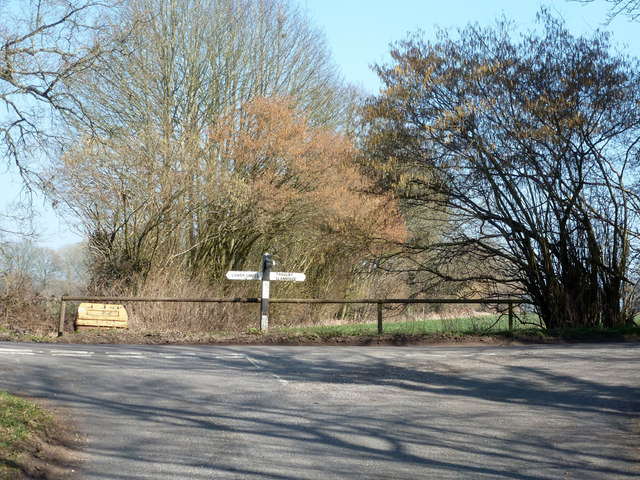
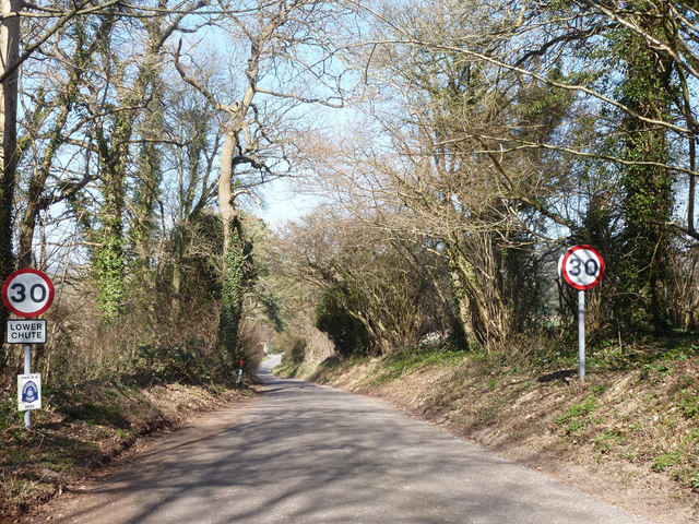
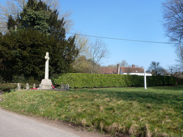
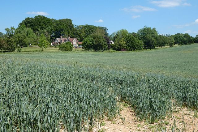
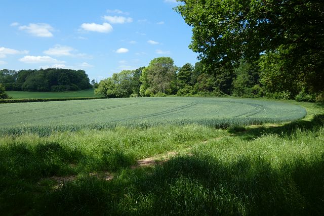
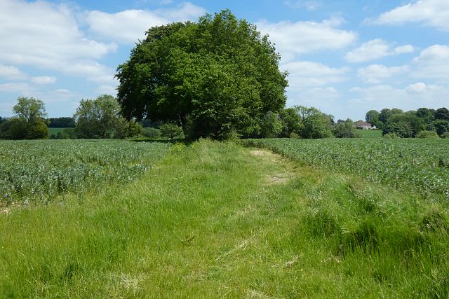
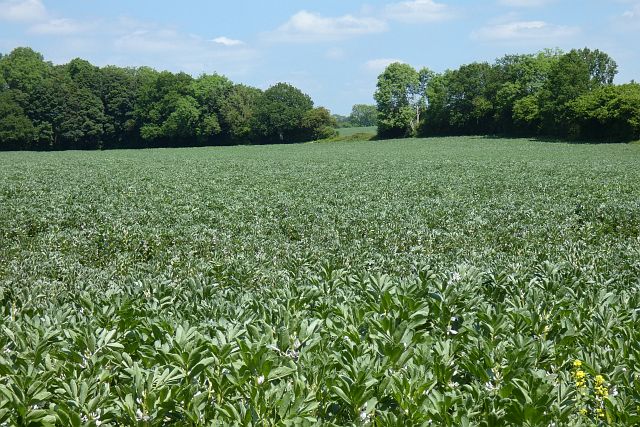
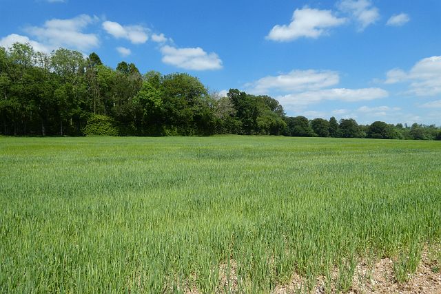
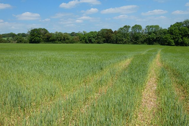
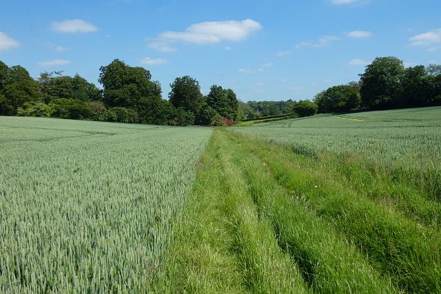
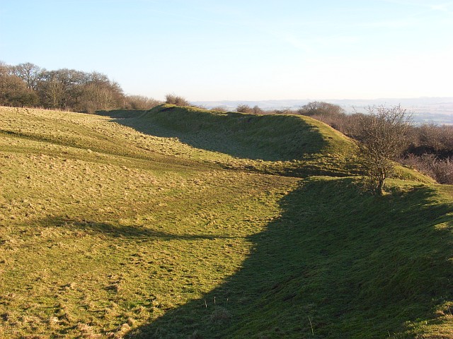
Cathanger Wood Images

Images are sourced within 2km of 51.284284/-1.5408858 or Grid Reference SU3254. Thanks to Geograph Open Source API. All images are credited.

Chute Causeway Looking eastward in the direction of Cornholt.
Chute Causeway
Looking eastward in the direction of Cornholt.
Chute Causeway at Little Down Looking north-eastward.
Chute Causeway at Little Down
Looking north-eastward.
Farmland, Chute A field of stubble to the east of Breach Lane.
Farmland, Chute
A field of stubble to the east of Breach Lane.
Well Bottom, Vernhams Dean The vicinity shows little sign of real agriculture and appears to be mostly managed for game. The steep north-facing flank of the valley has remained very frosty.
Well Bottom, Vernhams Dean
The vicinity shows little sign of real agriculture and appears to be mostly managed for game. The steep north-facing flank of the valley has remained very frosty.
Haystack in field beside Chute Causeway
Lodge Lane Heading away from Chute Forest towards the other Chutes.
Lodge Lane
Heading away from Chute Forest towards the other Chutes.
Lodge Lane meets the Lower Chute - Tangley and Clanville road
Entering Lower Chute On the road from Tangley and Clanville.
Entering Lower Chute
On the road from Tangley and Clanville.
War memorial, Lower Chute On the corner of a rather small green.
War memorial, Lower Chute
On the corner of a rather small green.
Facing Conholt from the Hidden Valley
Farmland, Tangley A crop of wheat to the south of Dowlands Farm.
Farmland, Tangley
A crop of wheat to the south of Dowlands Farm.
Farmland, Tangley A crop of wheat to the south of Young's Copse with Chessams Copse beyond.
Farmland, Tangley
A crop of wheat to the south of Young's Copse with Chessams Copse beyond.
Farmland, Chute Forest A footpath between fields of beans heads down into Tangley Bottom to reach the county boundary.
Farmland, Chute Forest
A footpath between fields of beans heads down into Tangley Bottom to reach the county boundary.
Farmland, Chute Forest One of several fields of beans in the vicinity.
Farmland, Chute Forest
One of several fields of beans in the vicinity.
Farmland, Chute Spring barley to the north of the parallel footpath and byroad between Chute Standen and Chute Cadley.
Farmland, Chute
Spring barley to the north of the parallel footpath and byroad between Chute Standen and Chute Cadley.
Farmland, Chute Spring barley to the east of Dummer Lane.
Farmland, Chute
Spring barley to the east of Dummer Lane.
Farmland, Chute A footpath between fields of wheat as directed by signs at its eastern end, though not one that's mapped. I assume it's a slight, but apparently unofficial, diversion to the right of way somewhat to the north.
Farmland, Chute
A footpath between fields of wheat as directed by signs at its eastern end, though not one that's mapped. I assume it's a slight, but apparently unofficial, diversion to the right of way somewhat to the north.
Conholt Hill from Conholt Bottom
Show me another place!

Cathanger Wood is located at Grid Ref: SU3254 (Lat: 51.284284, Lng: -1.5408858)

Unitary Authority: Wiltshire

Police Authority: Wiltshire

What 3 Words

///limiting.frog.depending. Near Ludgershall, Wiltshire

Related Wikis

Nearby Amenities

Located within 500m of 51.284284,-1.5408858
Bus Stop
Hampshire Gate
Naptan AtcoCode: 1900HA100438
Naptan Bearing: SE
Naptan CommonName: Hampshire Gate
Naptan NaptanCode: hamajwpd
Naptan Street: Hungerford Lane
Naptan Verified: no
Source: naptan_import
Lat/Long: 51.2859524/-1.5346108
Bus Stop
Hampshire Gate
Naptan AtcoCode: 1900HA100439
Naptan Bearing: NW
Naptan CommonName: Hampshire Gate
Naptan NaptanCode: hamajwpa
Naptan Street: Hungerford Lane
Naptan Verified: no
Source: naptan_import
Lat/Long: 51.2859256/-1.5346684
Hampshire/Wiltshire Gate (disused)
Tourism: attraction
Lat/Long: 51.2863501/-1.5347729
The data included in this document is from www.openstreetmap.org. The data is made available under ODbL.

Have you been to Cathanger Wood?

Leave your review of Cathanger Wood below (or comments, questions and feedback).