Bericote Wood

Wood, Forest in Warwickshire Warwick

England

Bericote Wood

Bericote Lane with Nishan Sahib This view over Bericote Lane, Blackdown, looking towards Bericote Wood, is framed by a pair of saffron-coloured Nishan Sahib flags, the 'exalted ensign' of the Khalsa Panth of initiated Sikhs. They stand outside the entrance to the Baba Ke gurdwara or Sikh temple on the northern outskirts of Leamington Spa, which is unusual in Britain for its rural setting. For more on the Nishan Sahib see the Sikh Museum website here <span class="nowrap"><a title="http://www.sikhmuseum.com/nishan/index.html" rel="nofollow ugc noopener" href="http://www.sikhmuseum.com/nishan/index.html">Link</a><img style="margin-left:2px;" alt="External link" title="External link - shift click to open in new window" src="https://s1.geograph.org.uk/img/external.png" width="10" height="10"/></span> .
Bericote Lane with Nishan Sahib Credit: A J Paxton

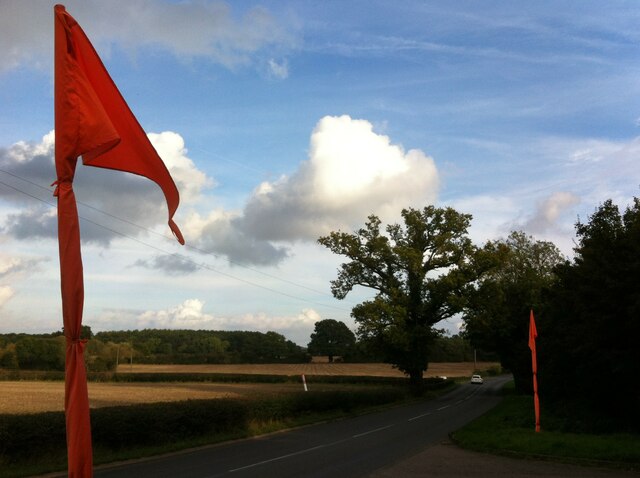
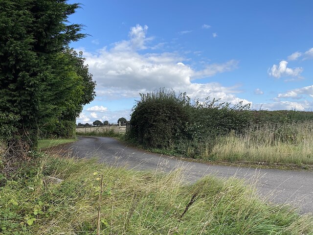
Bericote Wood is a picturesque woodland located in Warwickshire, a county in the heart of England. Covering an area of approximately 100 acres, this enchanting forest is known for its natural beauty and diverse range of flora and fauna.

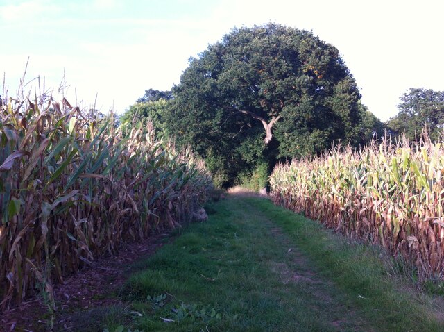
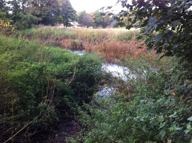
The wood is predominantly made up of deciduous trees, including oak, ash, and beech, which create a stunning canopy of vibrant colors during autumn. The forest floor is covered with a lush carpet of ferns, bluebells, and wildflowers, adding to its charm and tranquility. Bericote Wood is a haven for wildlife, with a variety of bird species, such as woodpeckers and owls, making their homes among the treetops. It is also home to small mammals like squirrels and rabbits, as well as occasional sightings of deer.

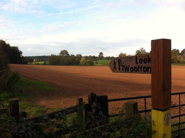
The wood features several walking trails, allowing visitors to explore its natural wonders at their own pace. These paths wind through the dense foliage, providing breathtaking views and opportunities for peaceful contemplation. Additionally, Bericote Wood offers picnic areas and benches, inviting visitors to relax and enjoy the peaceful surroundings.

Located just a short drive from the bustling town of Warwick, Bericote Wood provides a welcome escape from the urban hustle and bustle. With its serene atmosphere, diverse wildlife, and stunning scenery, it is a popular destination for nature enthusiasts, families, and anyone seeking a respite in the great outdoors.

If you have any feedback on the listing, please let us know in the comments section below.

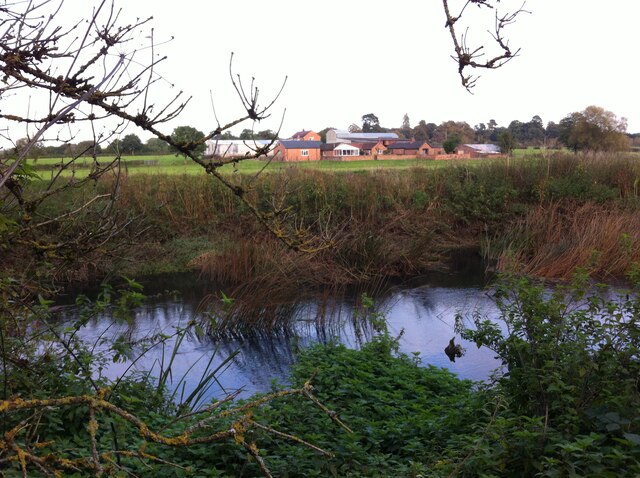
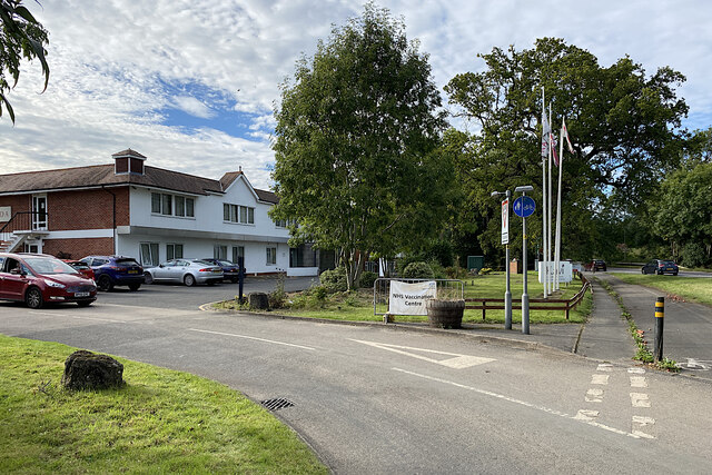
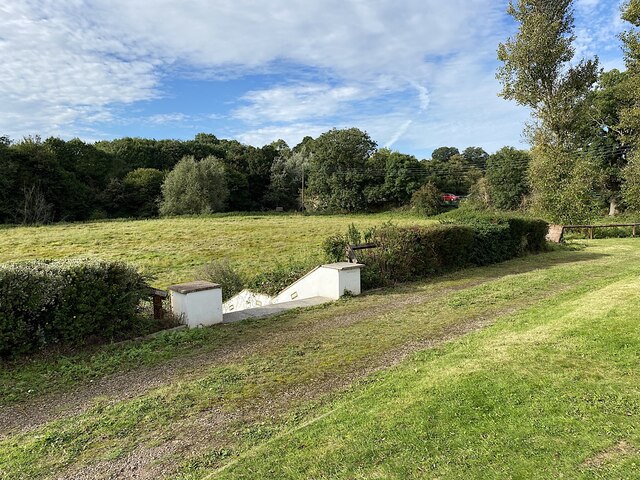
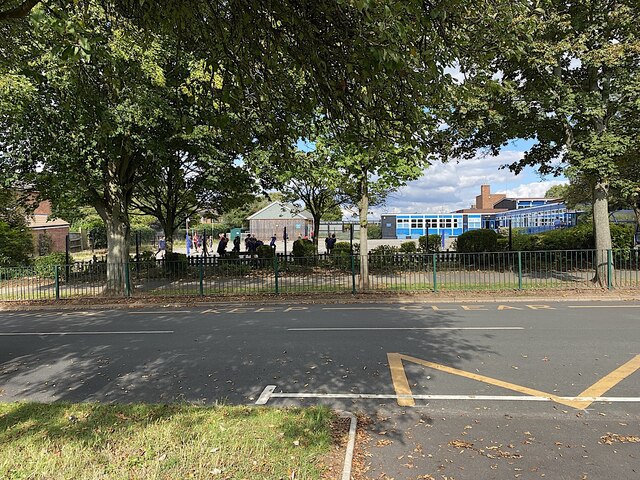
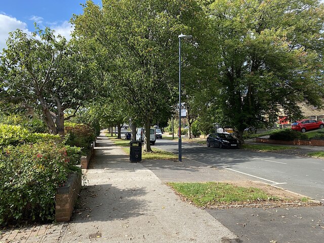
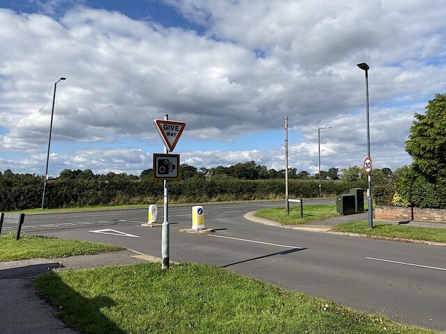
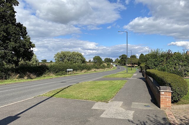
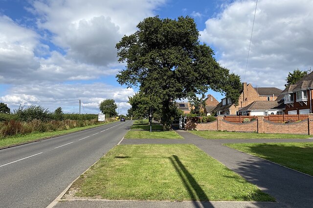
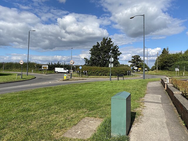
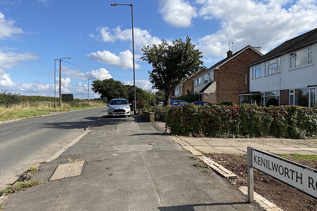
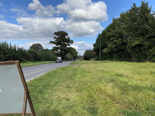
Bericote Wood Images

Images are sourced within 2km of 52.327034/-1.5301456 or Grid Reference SP3269. Thanks to Geograph Open Source API. All images are credited.

Bericote Lane with Nishan Sahib This view over Bericote Lane, Blackdown, looking towards Bericote Wood, is framed by a pair of saffron-coloured Nishan Sahib flags, the 'exalted ensign' of the Khalsa Panth of initiated Sikhs. They stand outside the entrance to the Baba Ke gurdwara or Sikh temple on the northern outskirts of Leamington Spa, which is unusual in Britain for its rural setting. For more on the Nishan Sahib see the Sikh Museum website here <span class="nowrap"><a title="http://www.sikhmuseum.com/nishan/index.html" rel="nofollow ugc noopener" href="http://www.sikhmuseum.com/nishan/index.html">Link</a><img style="margin-left:2px;" alt="External link" title="External link - shift click to open in new window" src="https://s1.geograph.org.uk/img/external.png" width="10" height="10"/></span> .
Bericote Lane with Nishan Sahib
This view over Bericote Lane, Blackdown, looking towards Bericote Wood, is framed by a pair of saffron-coloured Nishan Sahib flags, the 'exalted ensign' of the Khalsa Panth of initiated Sikhs. They stand outside the entrance to the Baba Ke gurdwara or Sikh temple on the northern outskirts of Leamington Spa, which is unusual in Britain for its rural setting. For more on the Nishan Sahib see the Sikh Museum website here LinkExternal link .
Field Path from Hill Wootton Road to Wootton Spinnies The path along the edge of a ploughed field is indicated by a sign of the distinctive design of the Kenilworth Footpath Preservation Group. In the Spinnies, a linear wood by the River Avon, the path divides, one route continuing to Chesford Bridge over the Avon, the other to Leek Wootton village as indicated on the sign.
Field Path from Hill Wootton Road to Wootton Spinnies
The path along the edge of a ploughed field is indicated by a sign of the distinctive design of the Kenilworth Footpath Preservation Group. In the Spinnies, a linear wood by the River Avon, the path divides, one route continuing to Chesford Bridge over the Avon, the other to Leek Wootton village as indicated on the sign.
Path through the maize to Wootton Spinnies Tall maize plants heavy with cobs frame an oak tree on the edge of Wootton Spinnies, a linear wood which runs along the bank of the River Avon, then continues to the west in a sinuous path towards Leek Wootton village.
Path through the maize to Wootton Spinnies
Tall maize plants heavy with cobs frame an oak tree on the edge of Wootton Spinnies, a linear wood which runs along the bank of the River Avon, then continues to the west in a sinuous path towards Leek Wootton village.
Confluence of the Cattle Brook and the River Avon The confluence is viewed from a footbridge over the Cattle Brook, a stream which rises on the southern outskirts of Kenilworth and flows eastwards for about two kilometres before flowing into the Avon by Wootton Spinnies.
Confluence of the Cattle Brook and the River Avon
The confluence is viewed from a footbridge over the Cattle Brook, a stream which rises on the southern outskirts of Kenilworth and flows eastwards for about two kilometres before flowing into the Avon by Wootton Spinnies.
Looking across the River Avon towards New Farm, Blackdown The Warwickshire Avon is here flowing to the south east in a sinuous curve, from left to right in this picture, though its overall course is south westwards towards Tewkesbury in Gloucestershire, where it joins the Severn.
Looking across the River Avon towards New Farm, Blackdown
The Warwickshire Avon is here flowing to the south east in a sinuous curve, from left to right in this picture, though its overall course is south westwards towards Tewkesbury in Gloucestershire, where it joins the Severn.
Entrance to the Ramada Hotel, near Chesford Bridge The hotel had been designated as an NHS Vaccination Centre for the Covid-19 booster programme. People coming by car were directed to a spacious rear car park, thence to a large but very odd function room. There was a long queue for the shots, which were professionally administered by at least half a dozen vaccinators. The Pfizer vaccine and a flu vaccine were given at the same time (we had had the AstraZeneca vaccine earlier in the year). Anyone attending by bus from the Kenilworth direction had to undertake a hazardous crossing of the A452 to reach the hotel.
Entrance to the Ramada Hotel, near Chesford Bridge
The hotel had been designated as an NHS Vaccination Centre for the Covid-19 booster programme. People coming by car were directed to a spacious rear car park, thence to a large but very odd function room. There was a long queue for the shots, which were professionally administered by at least half a dozen vaccinators. The Pfizer vaccine and a flu vaccine were given at the same time (we had had the AstraZeneca vaccine earlier in the year). Anyone attending by bus from the Kenilworth direction had to undertake a hazardous crossing of the A452 to reach the hotel.
Garden of the Ramada Hotel, Chesford Bridge The lower level is floodplain: the River Avon runs in the shadow of the distant trees. The red car, right, is heading north on the A452 Kenilworth Road. The old bridge is just visible, centre.
The view from the queue for the booster.
Garden of the Ramada Hotel, Chesford Bridge
The lower level is floodplain: the River Avon runs in the shadow of the distant trees. The red car, right, is heading north on the A452 Kenilworth Road. The old bridge is just visible, centre. The view from the queue for the booster.
Telford Junior School, Telford Avenue, Lillington
Downhill, northwest and a bus stop on Telford Avenue, Lillington Stagecoach services 67A and 67B.
Downhill, northwest and a bus stop on Telford Avenue, Lillington
Stagecoach services 67A and 67B.
Telford Avenue meets Leicester Lane, Lillington Some maps say Lillington Road.
Telford Avenue meets Leicester Lane, Lillington
Some maps say Lillington Road.
Bungalow, Leicester Lane, Lillington
Northeast on Leicester Lane, Lillington
Leicester Lane climbs to meet Kenilworth Road, Lillington Where there is a big oak there may once have been a field boundary hedgerow.
Leicester Lane climbs to meet Kenilworth Road, Lillington
Where there is a big oak there may once have been a field boundary hedgerow.
Junction of Leicester Lane, Kenilworth Road and Westhill Road, Lillington Westhill Road, left, for Kenilworth; Kenilworth Road, right, for Cubbington; ahead for Ryton and Rugby; Leicester once upon a time.
Junction of Leicester Lane, Kenilworth Road and Westhill Road, Lillington
Westhill Road, left, for Kenilworth; Kenilworth Road, right, for Cubbington; ahead for Ryton and Rugby; Leicester once upon a time.
Southeast on Kenilworth Road, Lillington This is one edge of Leamington: houses look out over the fields. The lighting column is wonky, not the camera.
Southeast on Kenilworth Road, Lillington
This is one edge of Leamington: houses look out over the fields. The lighting column is wonky, not the camera.
Northeast from Lillington on Leicester Lane The wide grass verge gives drivers long sightlines to and from the busy junction behind the camera <a href="https://www.geograph.org.uk/photo/7084878">SP3268 : Junction of Leicester Lane, Kenilworth Road and Westhill Road, Lillington</a>.
Northeast from Lillington on Leicester Lane
The wide grass verge gives drivers long sightlines to and from the busy junction behind the camera SP3268 : Junction of Leicester Lane, Kenilworth Road and Westhill Road, Lillington.
Entry to West Hill Farm from Kenilworth Road Neither of the two properties served could be described as a farm.
Entry to West Hill Farm from Kenilworth Road
Neither of the two properties served could be described as a farm.
Southeast and uphill on Kenilworth Road, Lillington A recreational cyclist has to contend with the school run on this busy road.
Southeast and uphill on Kenilworth Road, Lillington
A recreational cyclist has to contend with the school run on this busy road.
Show me another place!

Bericote Wood is located at Grid Ref: SP3269 (Lat: 52.327034, Lng: -1.5301456)

Administrative County: Warwickshire

District: Warwick

Police Authority: Warwickshire

What 3 Words

///worm.text.magma. Near Leek Wootton, Warwickshire

Nearby Locations

Bericote Wood

Related Wikis

Ashow

Ashow is a small village and civil parish in the Warwick district of Warwickshire, England, about 2.5 miles (4 km) south-east of central Kenilworth. According...

Blackdown, Warwickshire

Blackdown is a hamlet and civil parish in the Warwick district of Warwickshire, England. Blackdown is about two miles north of Leamington Spa, between...

Stoneleigh Abbey

Stoneleigh Abbey is an English country house and estate situated south of Coventry. Nearby is the village of Stoneleigh, Warwickshire. The Abbey itself...

A445 road

The A445 road is a road in Warwickshire, England. It runs between the town of Warwick and the A45, also passing through the north of Leamington Spa. The...

Stoneleigh Abbey Gatehouse

Stoneleigh Abbey Gatehouse is the 14th century gatehouse to the medieval Stoneleigh Abbey which was established near Stoneleigh, Warwickshire in the 12th...

Rare Breeds Survival Trust

The Rare Breeds Survival Trust is a conservation charity whose purpose is to secure the continued existence and viability of the native farm animal genetic...
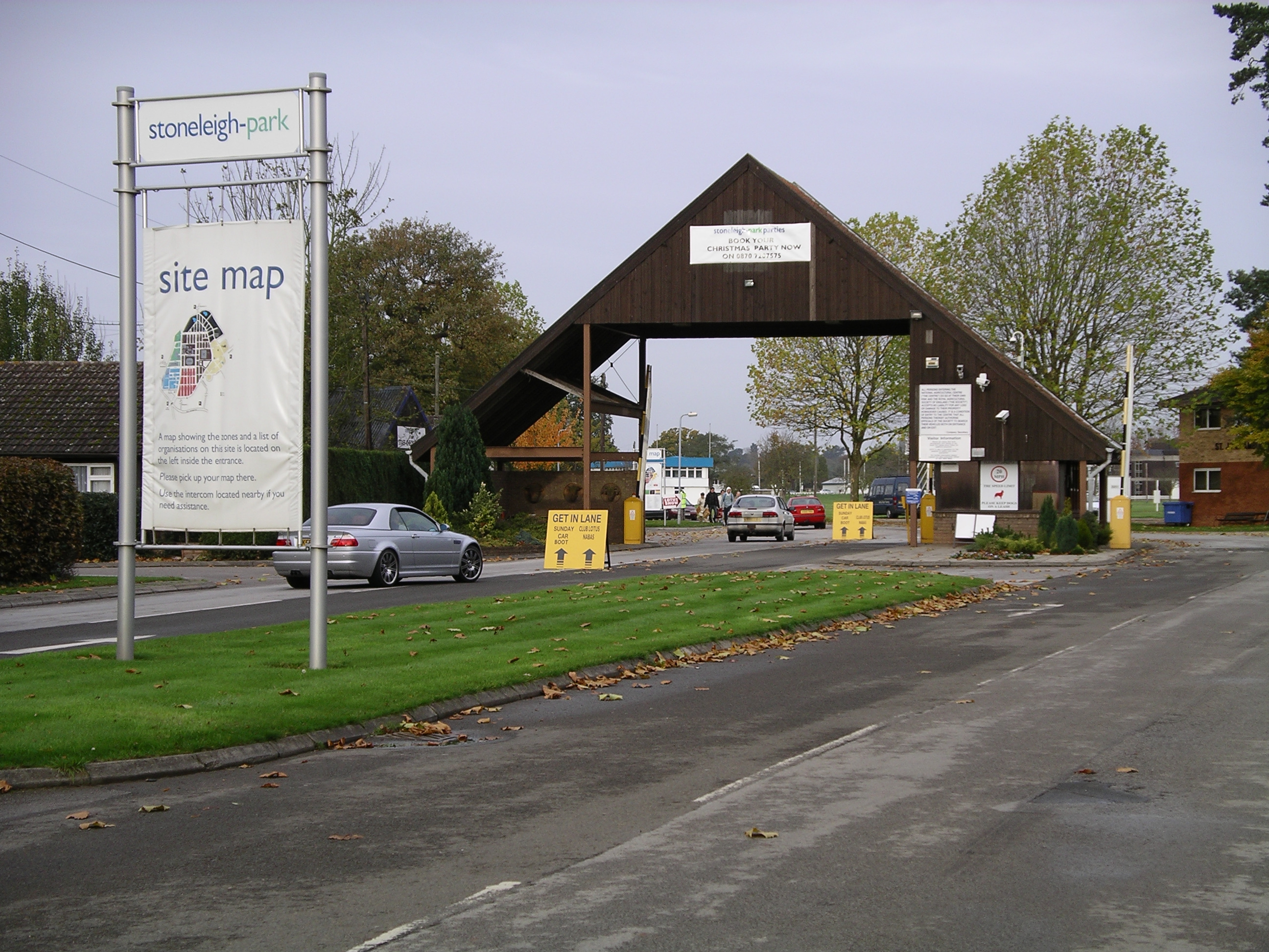
Stoneleigh Park

Stoneleigh Park, known between 1963 and 2013 as the National Agricultural Centre, is a business park located south-west of the village of Stoneleigh, Warwickshire...

North Leamington School

North Leamington School (NLS) is a mixed, non-selective, comprehensive school for students aged 11 to 18 years located at the northeastern edge of Leamington...

Nearby Amenities

Located within 500m of 52.327034,-1.5301456
Colour: red and white
Marker: aerial
Material: plastic
Utility: gas
Lat/Long: 52.323102/-1.5277385
Colour: red and white
Marker: aerial
Material: plastic
Utility: gas
Lat/Long: 52.323198/-1.5273545
Colour: yellow
Marker: post
Material: plastic
Utility: gas
Lat/Long: 52.3231429/-1.5275787
The data included in this document is from www.openstreetmap.org. The data is made available under ODbL.

Have you been to Bericote Wood?

Leave your review of Bericote Wood below (or comments, questions and feedback).