Birley Wood

Wood, Forest in Derbyshire North East Derbyshire

England

Birley Wood

Barley field near the Linacre Reservoirs Chesterfield is seen in the distance.
Barley field near the Linacre Reservoirs Credit: Bill Boaden

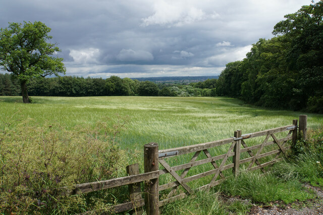
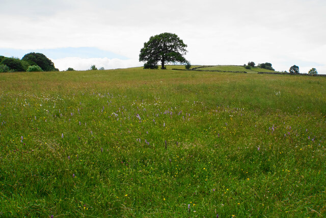
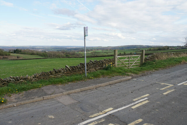
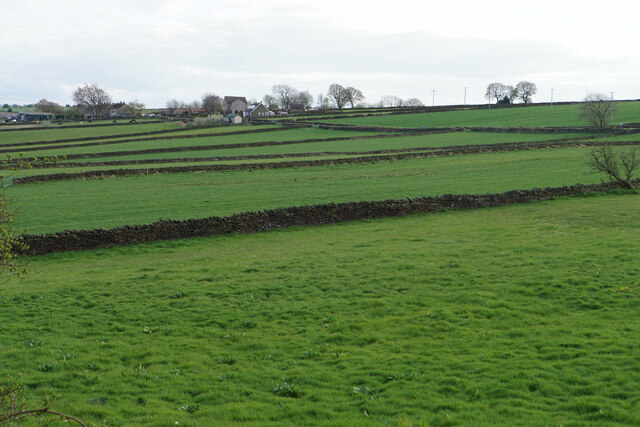
Birley Wood, located in Derbyshire, is a beautiful and enchanting forest that covers an area of approximately 100 acres. It is situated near the village of Birley, nestled in the heart of the Peak District National Park. With its diverse range of flora and fauna, Birley Wood is a haven for nature enthusiasts and a popular destination for outdoor activities.

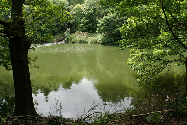
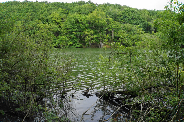
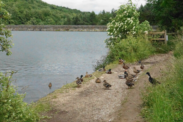
The woodland is primarily composed of oak and birch trees, creating a lush and vibrant canopy that provides shade and shelter for a wide variety of wildlife. Walking through the forest, visitors can spot rare bird species such as the redstart and pied flycatcher, as well as small mammals like badgers and foxes.

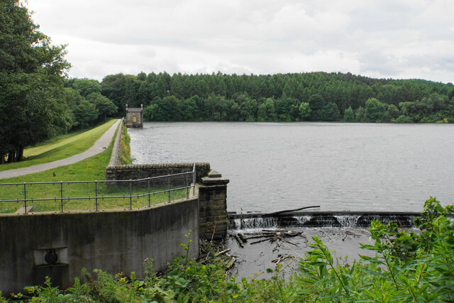
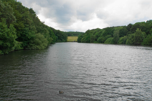
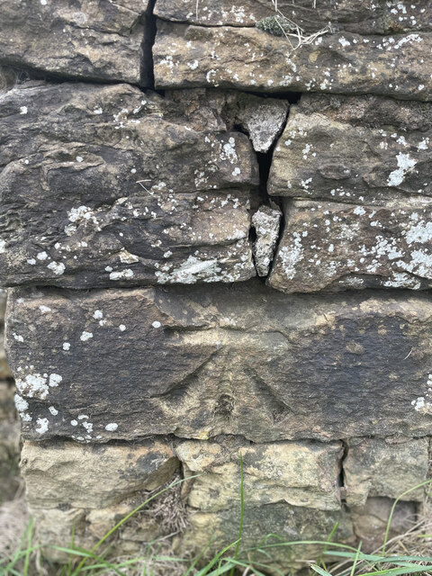
The forest features several well-maintained walking trails, allowing visitors to explore its serene surroundings and immerse themselves in its natural beauty. These trails range in difficulty, catering to both casual strollers and avid hikers. Along the way, visitors may come across picturesque streams and ancient stone walls, adding to the rustic charm of the woodland.

Birley Wood is also known for its rich history, with evidence of human settlement dating back to the Bronze Age. Archaeological finds, including flint tools and pottery shards, have been discovered in the area, providing insights into the lives of early inhabitants.

In summary, Birley Wood is a captivating forest in Derbyshire, offering a peaceful retreat from the hustle and bustle of everyday life. Its diverse ecosystem, scenic trails, and historical significance make it a must-visit destination for those seeking a connection with nature and a glimpse into the past.

If you have any feedback on the listing, please let us know in the comments section below.
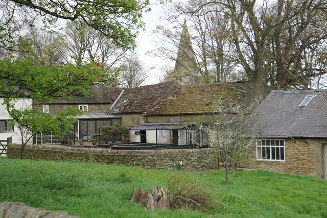
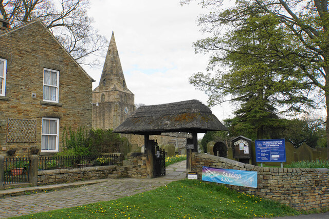
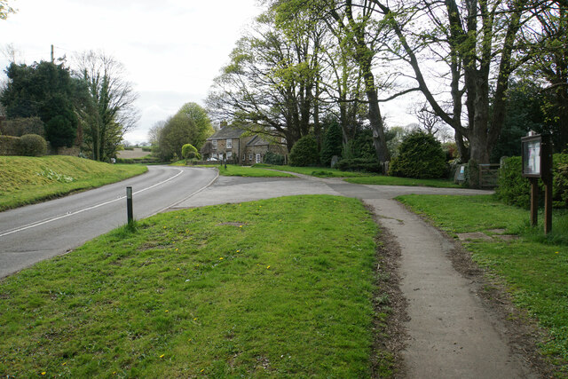
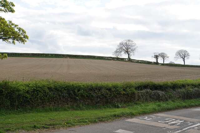
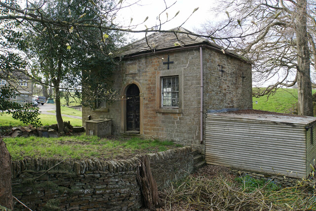
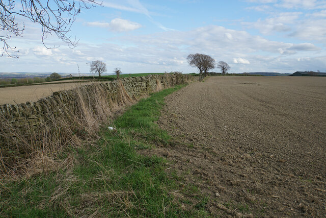
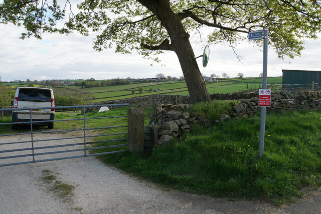
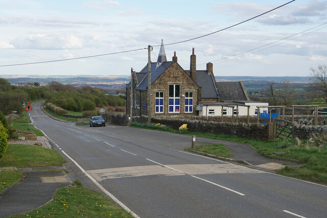
Birley Wood Images

Images are sourced within 2km of 53.252299/-1.520031 or Grid Reference SK3272. Thanks to Geograph Open Source API. All images are credited.

Barley field near the Linacre Reservoirs Chesterfield is seen in the distance.
Barley field near the Linacre Reservoirs
Chesterfield is seen in the distance.
Outflow from Middle Linacre Reservoir
The head of Middle Linacre Reservoir Opposite is the outflow from the Upper Reservoir.
The head of Middle Linacre Reservoir
Opposite is the outflow from the Upper Reservoir.
Upper Linacre Reservoir Much of it is surrounded by ancient woodland.
Upper Linacre Reservoir
Much of it is surrounded by ancient woodland.
Meadow above Upper Linacre Reservoir The meadow has a wide diversity of plants, including marsh orchids.
Meadow above Upper Linacre Reservoir
The meadow has a wide diversity of plants, including marsh orchids.
Ducks gathering by Upper Linacre Reservoir The reservoir dam is seen behind.
Ducks gathering by Upper Linacre Reservoir
The reservoir dam is seen behind.
Lower Linacre Reservoir The smallest of the three reservoirs. The dam of the Middle Reservoir can be seen.
Lower Linacre Reservoir
The smallest of the three reservoirs. The dam of the Middle Reservoir can be seen.
Brampton, Woodnook Lane BM on roadside wall

Sk33427300
Brampton, Woodnook Lane
BM on roadside wall Sk33427300
Old Brampton A view of the old part of the village from a footpath approaching from the south.
Old Brampton
A view of the old part of the village from a footpath approaching from the south.
Parish church of St Peter & St Paul, Old Brampton A Grade I listed church dating from the 14th Century with Victorian renovations. The lych gate is one of a pair donated in 1937.
Parish church of St Peter & St Paul, Old Brampton
A Grade I listed church dating from the 14th Century with Victorian renovations. The lych gate is one of a pair donated in 1937.
Hemming Green The road is climbing steadily from Old Brampton. On the right is a parish council noticeboard.
Hemming Green
The road is climbing steadily from Old Brampton. On the right is a parish council noticeboard.
Prepared field at Hollins Coming up from Old Brampton, this is the first bit of open field that you see, as most of the road is bounded by houses or foliage.
Prepared field at Hollins
Coming up from Old Brampton, this is the first bit of open field that you see, as most of the road is bounded by houses or foliage.
Hollins Wesleyan Chapel I think the date says 1846. The building is not now in use.
Hollins Wesleyan Chapel
I think the date says 1846. The building is not now in use.
Field boundary at Hollins An area of arable farmland with extensive views eastwards over Chesterfield.
Field boundary at Hollins
An area of arable farmland with extensive views eastwards over Chesterfield.
Footpath to Wadshelf Wadshelf is seen on top of the rise ahead. The path will have to drop and then climb again.
Footpath to Wadshelf
Wadshelf is seen on top of the rise ahead. The path will have to drop and then climb again.
Wigley Primary School A very small rural primary school with I think just two classes. The building enjoys extensive views over North East Derbyshire.
Wigley Primary School
A very small rural primary school with I think just two classes. The building enjoys extensive views over North East Derbyshire.
Bus stop by Wigley Primary School Situated on School Lane which comes from Wadshelf. There is a view over farmland  down to Chesterfield.
Bus stop by Wigley Primary School
Situated on School Lane which comes from Wadshelf. There is a view over farmland down to Chesterfield.
Fields below School Lane Fields for livestock with the village of Wadshelf in the background.
Fields below School Lane
Fields for livestock with the village of Wadshelf in the background.
Show me another place!

Birley Wood is located at Grid Ref: SK3272 (Lat: 53.252299, Lng: -1.520031)

Administrative County: Derbyshire

District: North East Derbyshire

Police Authority: Derbyshire

What 3 Words

///from.dark.centrally. Near Walton, Derbyshire

Related Wikis

Ingmanthorpe, Derbyshire

Ingmanthorpe is a hamlet in Brampton, Derbyshire, England. Ingmanthorpe is located on the B6050 road some 3 miles (4.8 km) west of the town of Chesterfield...

Brampton, North East Derbyshire

Brampton is a civil parish in North East Derbyshire, England, with a population of 1,201 in 2011. Lying 130 miles (210 km) north west of London, 20 miles...

Old Brampton

Old Brampton is a village in the civil parish of Brampton, in the county of Derbyshire, England. It lies 3 miles to the west of Chesterfield, on a spur...

St Peter and St Paul's Church, Old Brampton

St Peter and St Paul's Church is a Grade I listed parish church in the Church of England in Old Brampton, Brampton, North East Derbyshire. == History... ==

Barlow Woodseats Hall

Barlow Woodseats Hall is a Grade II* listed manor house situated at Barlow Woodseats, on the edge of the village of Barlow, in Derbyshire. It remains the...

Wadshelf

Wadshelf is a small village in Derbyshire, England. It is located between Chesterfield and Baslow, just inside the Peak District national park. It is near...

North East Derbyshire (UK Parliament constituency)

North East Derbyshire is a constituency created in 1885 represented in the House of Commons of the UK Parliament since 2017 by Lee Rowley of the Conservative...

Barlow Common

Barlow Common is a village in Derbyshire, England, near Barlow and Chesterfield. It includes the hamlet of Crowhole, which contains several buildings surviving...

Nearby Amenities

Located within 500m of 53.252299,-1.520031
Barrier: stile
Foot: yes
Step Count: 1
Stile: stepover
Lat/Long: 53.2502814/-1.5262859
Barrier: stile
Step Count: 2
Steps: 2
Stile: stepover
Lat/Long: 53.252479/-1.5222315
Barrier: kissing_gate
Lat/Long: 53.2536863/-1.5178836
Ele: 233
Lat/Long: 53.2555549/-1.5178211
Ele: 231
Lat/Long: 53.2555627/-1.5181953
Ele: 233
Lat/Long: 53.255555/-1.5182146
Ele: 232
Lat/Long: 53.2555456/-1.5182527
Ele: 239
Lat/Long: 53.2556855/-1.5195547
Ele: 251.0000000
Lat/Long: 53.2553863/-1.5214668
Barrier: stile
Ele: 263.0000000
Steps: 3
Stile: wall
Lat/Long: 53.2552031/-1.5255729
Ele: 183.0000000
Lat/Long: 53.2514363/-1.5126886
Ele: 183.0000000
Lat/Long: 53.2514298/-1.5127087
Ele: 184.0000000
Lat/Long: 53.2514298/-1.5127342
Ele: 183.0000000
Lat/Long: 53.2514355/-1.5127771
Ele: 187.0000000
Lat/Long: 53.2514908/-1.5129099
Ele: 200
Lat/Long: 53.2517225/-1.5153226
Ele: 197.0000000
Lat/Long: 53.2519923/-1.5198528
Ele: 196.0000000
Lat/Long: 53.2519907/-1.519881
Ele: 199.0000000
Lat/Long: 53.2519267/-1.5204055
Ele: 199.0000000
Lat/Long: 53.2519195/-1.5204621
Ele: 199
Lat/Long: 53.2517604/-1.5216512
Ford: stepping_stones
Lat/Long: 53.2508898/-1.5242555
Ford: yes
Lat/Long: 53.2512103/-1.525296
The data included in this document is from www.openstreetmap.org. The data is made available under ODbL.

Have you been to Birley Wood?

Leave your review of Birley Wood below (or comments, questions and feedback).