Dumble Wood

Wood, Forest in Derbyshire North East Derbyshire

England

Dumble Wood

Barley field near the Linacre Reservoirs Chesterfield is seen in the distance.
Barley field near the Linacre Reservoirs Credit: Bill Boaden

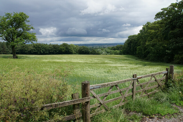
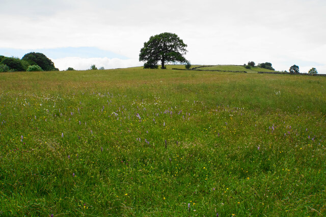
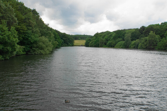
Dumble Wood is a serene and picturesque forest located in the county of Derbyshire, England. Nestled within the heart of the Peak District National Park, this enchanting woodland spans over an area of approximately 100 acres. It is situated near the charming village of Dumbleton, which adds to its allure and accessibility.

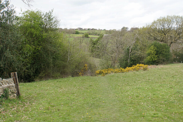
The wood is predominantly composed of mature deciduous trees, such as oak, beech, and ash, creating a rich tapestry of colors throughout the changing seasons. The dense canopy of foliage provides ample shade during the summer months, making it a popular retreat for locals and visitors alike seeking respite from the sun. In spring, the forest floor is adorned with a carpet of bluebells, creating a truly magical and ethereal atmosphere.

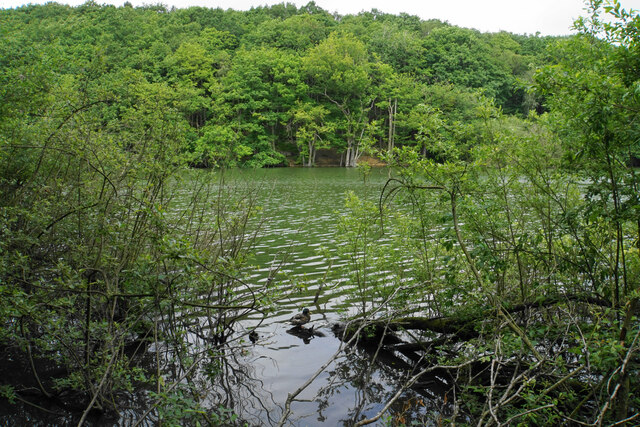
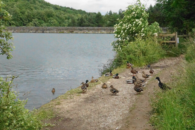
Dumble Wood is also home to a diverse array of wildlife, making it a haven for nature enthusiasts and birdwatchers. Species such as woodpeckers, nuthatches, and tawny owls can often be spotted among the trees, while the occasional glimpse of a deer or fox adds to the sense of wilderness.

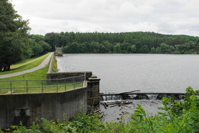
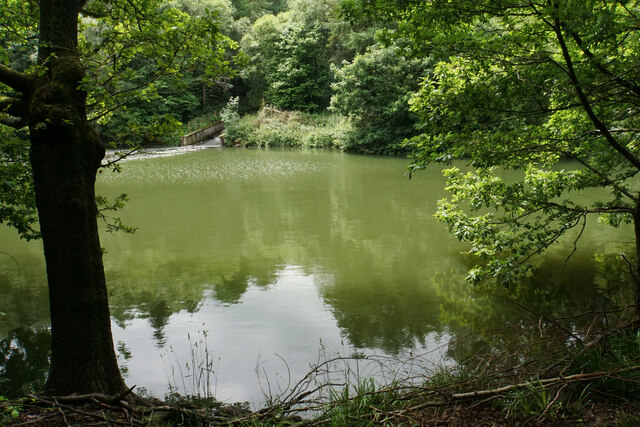
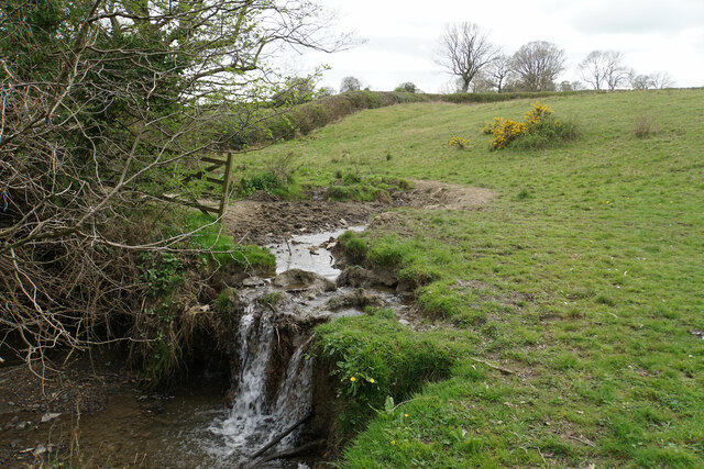
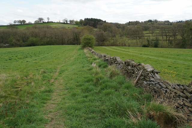
The woodland offers a network of well-maintained footpaths, allowing visitors to explore its beauty at their own pace. These trails lead to hidden glades, babbling brooks, and secluded groves, creating a sense of tranquility and escape from the outside world.

Overall, Dumble Wood is a captivating destination for those seeking solace in nature. Its idyllic setting, abundant wildlife, and peaceful ambiance make it a true gem within the Derbyshire countryside.

If you have any feedback on the listing, please let us know in the comments section below.
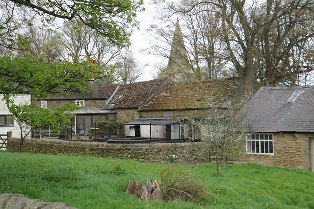
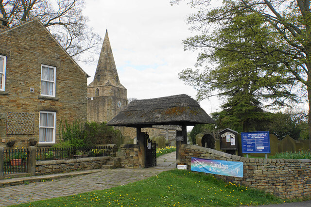
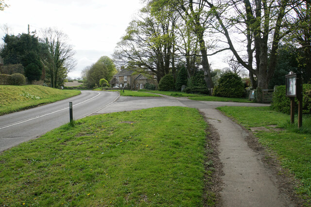
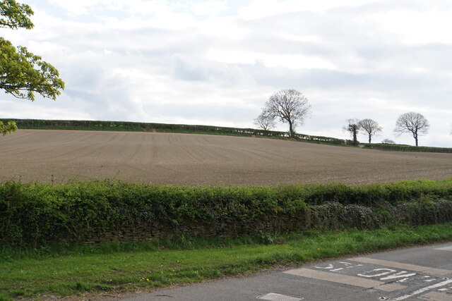
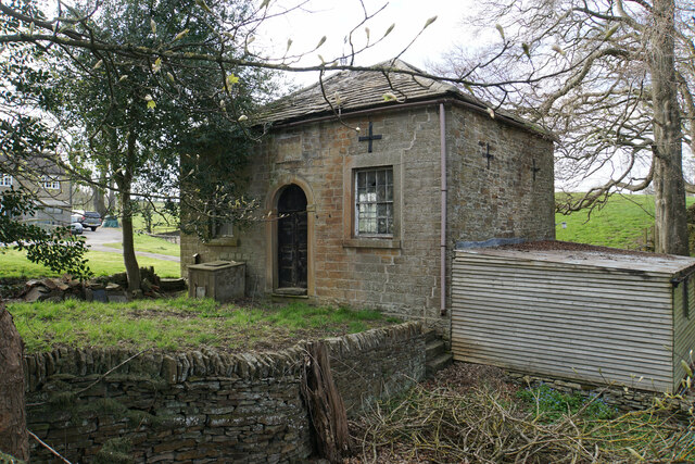
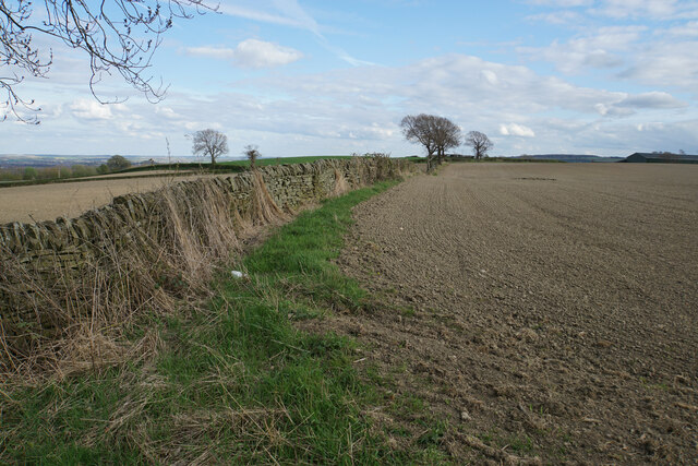
Dumble Wood Images

Images are sourced within 2km of 53.247817/-1.5166492 or Grid Reference SK3272. Thanks to Geograph Open Source API. All images are credited.

Barley field near the Linacre Reservoirs Chesterfield is seen in the distance.
Barley field near the Linacre Reservoirs
Chesterfield is seen in the distance.
Outflow from Middle Linacre Reservoir
The head of Middle Linacre Reservoir Opposite is the outflow from the Upper Reservoir.
The head of Middle Linacre Reservoir
Opposite is the outflow from the Upper Reservoir.
Upper Linacre Reservoir Much of it is surrounded by ancient woodland.
Upper Linacre Reservoir
Much of it is surrounded by ancient woodland.
Meadow above Upper Linacre Reservoir The meadow has a wide diversity of plants, including marsh orchids.
Meadow above Upper Linacre Reservoir
The meadow has a wide diversity of plants, including marsh orchids.
Ducks gathering by Upper Linacre Reservoir The reservoir dam is seen behind.
Ducks gathering by Upper Linacre Reservoir
The reservoir dam is seen behind.
Lower Linacre Reservoir The smallest of the three reservoirs. The dam of the Middle Reservoir can be seen.
Lower Linacre Reservoir
The smallest of the three reservoirs. The dam of the Middle Reservoir can be seen.
Brampton, Woodnook Lane BM on roadside wall

Sk33427300
Brampton, Woodnook Lane
BM on roadside wall Sk33427300
Footpath to Old Brampton The path has just left Westwick Lane. It descends to a brook, then climbs to Old Brampton which can be seen at the top of the hill.
Footpath to Old Brampton
The path has just left Westwick Lane. It descends to a brook, then climbs to Old Brampton which can be seen at the top of the hill.
Brook below Frithhallwood Farm A footpath crosses this brook. It is fine at the moment, but could be a challenge in the winter months when the mud is wet and soft.
Brook below Frithhallwood Farm
A footpath crosses this brook. It is fine at the moment, but could be a challenge in the winter months when the mud is wet and soft.
Footpath towards Chanderhill Two brooks are crossed in the valley bottom before the path climbs the other side.
Footpath towards Chanderhill
Two brooks are crossed in the valley bottom before the path climbs the other side.
Field of dandelions near Old Brampton From this field you can see down to Chesterfield with its crooked spire.
Field of dandelions near Old Brampton
From this field you can see down to Chesterfield with its crooked spire.
Old Brampton A view of the old part of the village from a footpath approaching from the south.
Old Brampton
A view of the old part of the village from a footpath approaching from the south.
Parish church of St Peter & St Paul, Old Brampton A Grade I listed church dating from the 14th Century with Victorian renovations. The lych gate is one of a pair donated in 1937.
Parish church of St Peter & St Paul, Old Brampton
A Grade I listed church dating from the 14th Century with Victorian renovations. The lych gate is one of a pair donated in 1937.
Hemming Green The road is climbing steadily from Old Brampton. On the right is a parish council noticeboard.
Hemming Green
The road is climbing steadily from Old Brampton. On the right is a parish council noticeboard.
Prepared field at Hollins Coming up from Old Brampton, this is the first bit of open field that you see, as most of the road is bounded by houses or foliage.
Prepared field at Hollins
Coming up from Old Brampton, this is the first bit of open field that you see, as most of the road is bounded by houses or foliage.
Hollins Wesleyan Chapel I think the date says 1846. The building is not now in use.
Hollins Wesleyan Chapel
I think the date says 1846. The building is not now in use.
Field boundary at Hollins An area of arable farmland with extensive views eastwards over Chesterfield.
Field boundary at Hollins
An area of arable farmland with extensive views eastwards over Chesterfield.
Show me another place!

Dumble Wood is located at Grid Ref: SK3272 (Lat: 53.247817, Lng: -1.5166492)

Administrative County: Derbyshire

District: North East Derbyshire

Police Authority: Derbyshire

What 3 Words

///denser.spud.scarves. Near Walton, Derbyshire

Related Wikis

Brampton, North East Derbyshire

Brampton is a civil parish in North East Derbyshire, England, with a population of 1,201 in 2011. Lying 130 miles (210 km) north west of London, 20 miles...

Ingmanthorpe, Derbyshire

Ingmanthorpe is a hamlet in Brampton, Derbyshire, England. Ingmanthorpe is located on the B6050 road some 3 miles (4.8 km) west of the town of Chesterfield...

Old Brampton

Old Brampton is a village in the civil parish of Brampton, in the county of Derbyshire, England. It lies 3 miles to the west of Chesterfield, on a spur...

St Peter and St Paul's Church, Old Brampton

St Peter and St Paul's Church is a Grade I listed parish church in the Church of England in Old Brampton, Brampton, North East Derbyshire. == History... ==

Wadshelf

Wadshelf is a small village in Derbyshire, England. It is located between Chesterfield and Baslow, just inside the Peak District national park. It is near...

North East Derbyshire (UK Parliament constituency)

North East Derbyshire is a constituency created in 1885 represented in the House of Commons of the UK Parliament since 2017 by Lee Rowley of the Conservative...

Barlow Woodseats Hall

Barlow Woodseats Hall is a Grade II* listed manor house situated at Barlow Woodseats, on the edge of the village of Barlow, in Derbyshire. It remains the...

Barlow Common

Barlow Common is a village in Derbyshire, England, near Barlow and Chesterfield. It includes the hamlet of Crowhole, which contains several buildings surviving...

Nearby Amenities

Located within 500m of 53.247817,-1.5166492
Barrier: stile
Lat/Long: 53.2437802/-1.5134975
Barrier: stile
Steps: 3
Stile: wall
Lat/Long: 53.2441943/-1.5137388
Barrier: stile
Stile: squeezer
Lat/Long: 53.2455763/-1.5128766
Ele: 183.0000000
Lat/Long: 53.2514363/-1.5126886
Ele: 183.0000000
Lat/Long: 53.2514298/-1.5127087
Ele: 184.0000000
Lat/Long: 53.2514298/-1.5127342
Ele: 183.0000000
Lat/Long: 53.2514355/-1.5127771
Ele: 187.0000000
Lat/Long: 53.2514908/-1.5129099
Ele: 184.0000000
Lat/Long: 53.2514732/-1.5125773
Ele: 185.0000000
Lat/Long: 53.2514668/-1.512532
Ele: 200
Lat/Long: 53.2517225/-1.5153226
Barrier: stile
Stile: squeezer
Lat/Long: 53.2477649/-1.511851
Barrier: stile
Lat/Long: 53.2467543/-1.5134032
Leisure: picnic_table
Lat/Long: 53.2486793/-1.5119057
Leisure: picnic_table
Lat/Long: 53.2485126/-1.5108823
The data included in this document is from www.openstreetmap.org. The data is made available under ODbL.

Have you been to Dumble Wood?

Leave your review of Dumble Wood below (or comments, questions and feedback).