Vane's Copse

Wood, Forest in Hampshire New Forest

England

Vane's Copse

Morrisons Supermarket This large branch of Morrisons is on the western edge of Totton close to the bypass.
Morrisons Supermarket Credit: Nigel Mykura

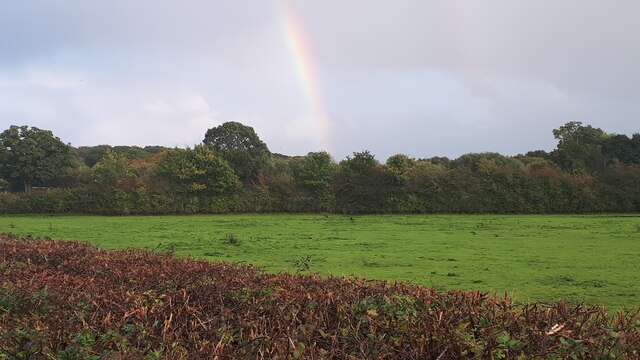
Vane's Copse is a picturesque woodland located in the county of Hampshire, England. Spanning over an area of approximately 200 hectares, this beautiful copse is renowned for its diverse range of flora and fauna, making it a popular destination for nature enthusiasts and hikers alike.

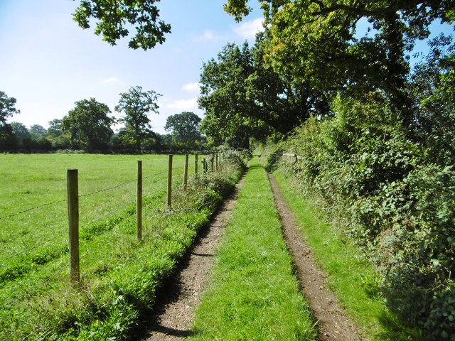
The copse consists mainly of native broadleaf trees, including oak, beech, and birch, which create a stunning canopy overhead. These trees provide a habitat for a variety of wildlife, such as squirrels, foxes, and numerous species of birds. The woodland floor is covered with a rich carpet of bluebells, wild garlic, and ferns, adding to its natural charm.

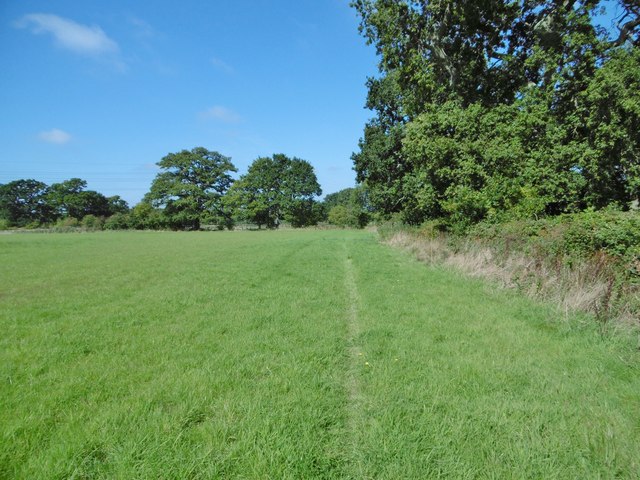
Several well-maintained footpaths wind through Vane's Copse, allowing visitors to explore the area and enjoy the tranquil surroundings. These paths lead to hidden clearings, offering delightful spots for picnics or simply appreciating the beauty of the woodland.

Vane's Copse also holds historical significance, with evidence of ancient settlements and archaeological remains found within its boundaries. The copse is believed to have been used by ancient civilizations for hunting and gathering, and remnants of prehistoric tools have been discovered in the area.

In addition to its natural and historical attractions, Vane's Copse offers a wide range of recreational activities. Visitors can enjoy birdwatching, photography, or simply take a leisurely stroll to immerse themselves in the peaceful atmosphere of this enchanting woodland.

Overall, Vane's Copse in Hampshire is a haven for nature lovers, offering a diverse range of flora and fauna, stunning landscapes, and a tranquil escape from the hustle and bustle of everyday life.

If you have any feedback on the listing, please let us know in the comments section below.
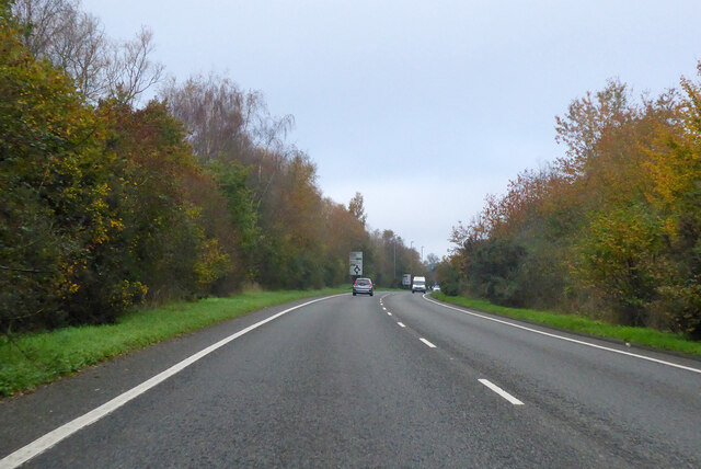
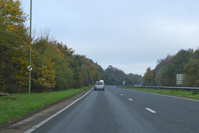
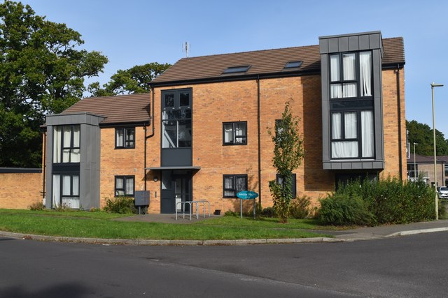
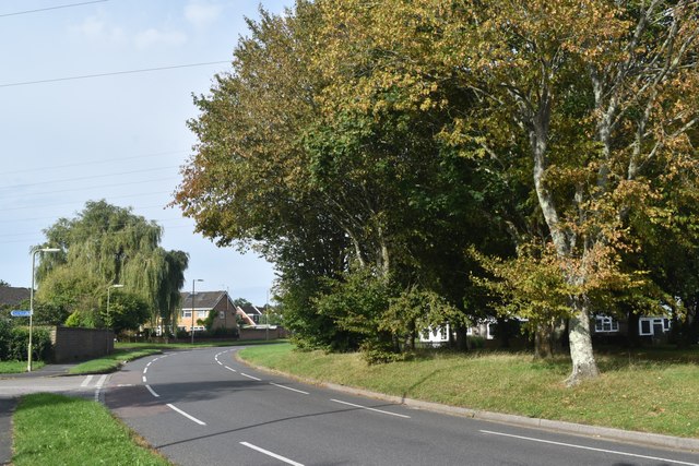
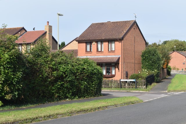
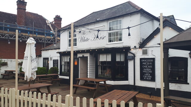
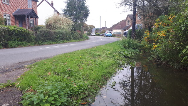
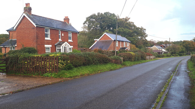
Vane's Copse Images

Images are sourced within 2km of 50.921165/-1.5321604 or Grid Reference SU3213. Thanks to Geograph Open Source API. All images are credited.

Morrisons Supermarket This large branch of Morrisons is on the western edge of Totton close to the bypass.
Morrisons Supermarket
This large branch of Morrisons is on the western edge of Totton close to the bypass.
New housing development, Loperwood Lane
A326 northwards towards M27
A326 northwards towards M27 Approaching the roundabout crossing of the A336.
A326 northwards towards M27
Approaching the roundabout crossing of the A336.
A326 northwards towards M27
Modern local authority housing in Calmore This is part of the development seen in <a href="https://www.geograph.org.uk/photo/5569914">SU3414 : New local authority housing under construction at Calmore</a>.
Modern local authority housing in Calmore
Roadside trees, Calmore Drive
Modern housing in West Totton The end of Shetland Close seen from Stonechat Drive.
Modern housing in West Totton
The end of Shetland Close seen from Stonechat Drive.
The White Horse public house, Netley Marsh
Full ditch beside Woodlands Road This roadside ditch appears to be near capacity on the last day of October, and will overflow into gardens before reaching the road level.
Full ditch beside Woodlands Road
This roadside ditch appears to be near capacity on the last day of October, and will overflow into gardens before reaching the road level.
Cottages on Chinham Road
Rainbow over field south of Chinham Road
Woodlands, The Gamekeeper Welcoming Wadworth pub on Woodlands Road. L-shaped bar, with dining room right, eating and drinking left and side, patio, play area, darts, TV. Cask ales on offer at my visit: 6X, Dirty Rucks, Henry's, Muddy Boots.
Woodlands, The Gamekeeper
Welcoming Wadworth pub on Woodlands Road. L-shaped bar, with dining room right, eating and drinking left and side, patio, play area, darts, TV. Cask ales on offer at my visit: 6X, Dirty Rucks, Henry's, Muddy Boots.
Netley Marsh, substation Fletchwood Substation, on Woodlands Drove.
Netley Marsh, substation
Fletchwood Substation, on Woodlands Drove.
Netley Marsh, stile At the beginning of the footpath to Woodlands Road.
Netley Marsh, stile
At the beginning of the footpath to Woodlands Road.
Netley Marsh, footpath Along field margins to Woodlands Road.
Netley Marsh, footpath
Along field margins to Woodlands Road.
Netley Marsh, farm track
Show me another place!

Vane's Copse is located at Grid Ref: SU3213 (Lat: 50.921165, Lng: -1.5321604)

Administrative County: Hampshire

District: New Forest

Police Authority: Hampshire

What 3 Words

///spun.paddock.haunt. Near Totton, Hampshire

Related Wikis

Netley Marsh

Netley Marsh is a village and civil parish in Hampshire, close to the town of Totton. It lies within the New Forest District, and the New Forest National...

Tatchbury Mount Hospital

Tatchbury Mount Hospital is a health facility to the north of Totton, Hampshire, England. It is owned and managed by Southern Health NHS Foundation Trust...

Winsor, Hampshire

Winsor is a village in the civil parish of Copythorne, in Hampshire, England. It is situated within the boundaries of the New Forest National Park. Surrounding...

Totton College

Totton College is a further education college located in Totton, Hampshire, providing courses for mainly 16- to 19-year-olds as well as adult education...

Nearby Amenities

Located within 500m of 50.921165,-1.5321604
Barrier: cattle_grid
Lat/Long: 50.9234037/-1.5264235
Power: tower
Source: Bing
Lat/Long: 50.9228115/-1.5373488
Power: tower
Source: Bing
Lat/Long: 50.9221884/-1.5347884
Power: tower
Lat/Long: 50.9204106/-1.5274836
Power: tower
Source: Bing
Lat/Long: 50.9212947/-1.5311164
Barrier: stile
Material: wood
Stile: stepover
Lat/Long: 50.919948/-1.5317877
Barrier: stile
Material: wood
Stile: stepover
Lat/Long: 50.920914/-1.5337354
Barrier: stile
Material: wood
Lat/Long: 50.9210105/-1.5345751
Barrier: stile
Stile: stepover
Lat/Long: 50.9214469/-1.534989
Barrier: stile
Material: wood
Stile: ladder
Lat/Long: 50.9212575/-1.5348826
Man Made: tower
Tower Type: communication
Lat/Long: 50.9224875/-1.5265327
Man Made: tower
Tower Type: communication
Lat/Long: 50.9221293/-1.5266911
The data included in this document is from www.openstreetmap.org. The data is made available under ODbL.

Have you been to Vane's Copse?

Leave your review of Vane's Copse below (or comments, questions and feedback).