Back Wood

Wood, Forest in Derbyshire North East Derbyshire

England

Back Wood

Snowy fields near Wadshelf Looking down from Top Lane. Many of the fields are regular rectangles.
Snowy fields near Wadshelf Credit: Bill Boaden

Back Wood is a picturesque woodland located in Derbyshire, England. It covers a vast area and is renowned for its natural beauty and serene atmosphere. The wood is situated in the southern part of the county, near the town of Derby, and is easily accessible by foot or car.

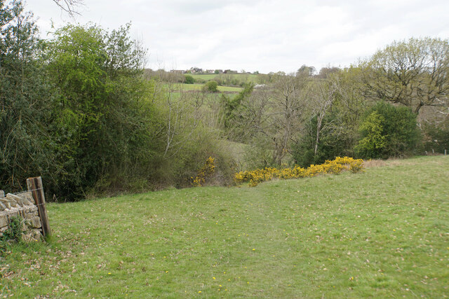
Back Wood is predominantly composed of deciduous trees, including oak, beech, and birch, which create a dense canopy overhead. The forest floor is covered in a rich layer of moss, ferns, and wildflowers, adding to the enchanting ambiance. This woodland is home to a diverse range of flora and fauna, with various species of birds, small mammals, and insects inhabiting the area.

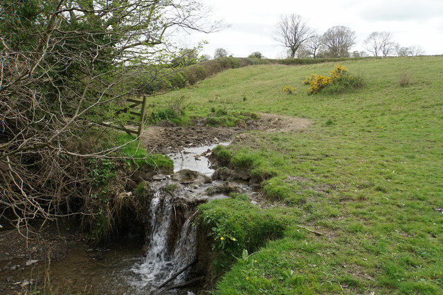
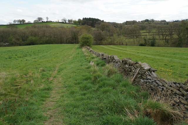
The wood offers numerous walking trails, allowing visitors to explore its hidden treasures. These paths wind through the forest, offering glimpses of small streams and hidden clearings along the way. The peacefulness of Back Wood makes it an ideal destination for nature enthusiasts, hikers, and those seeking a tranquil retreat from the hustle and bustle of everyday life.

Back Wood is also a popular spot for seasonal activities such as mushroom foraging, birdwatching, and photography. The changing colors of the leaves during autumn create a stunning spectacle, attracting many visitors during this time of year.

Overall, Back Wood is a beloved natural gem in Derbyshire, offering a haven for wildlife and a sanctuary for those seeking solace in nature's embrace.

If you have any feedback on the listing, please let us know in the comments section below.
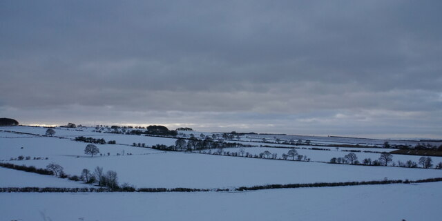
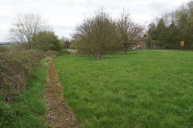
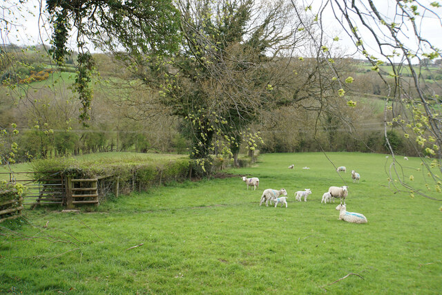
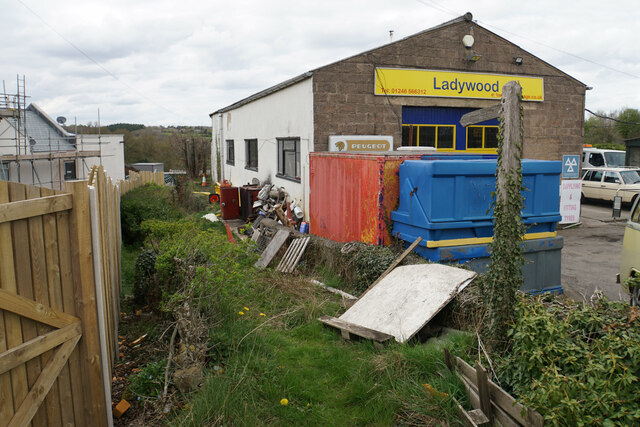
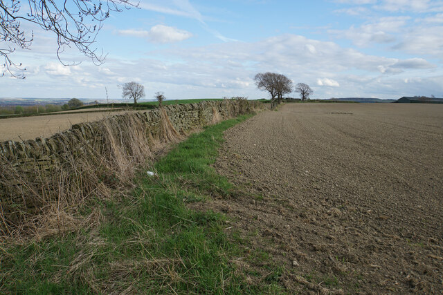
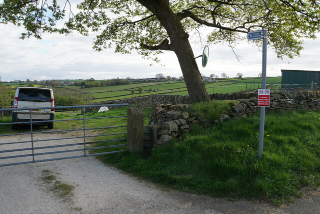
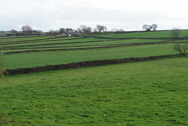
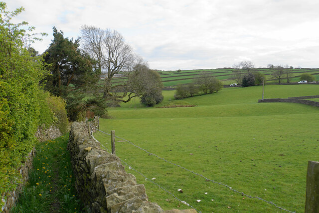
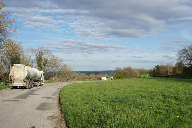
Back Wood Images

Images are sourced within 2km of 53.223887/-1.5160947 or Grid Reference SK3269. Thanks to Geograph Open Source API. All images are credited.

Snowy fields near Wadshelf Looking down from Top Lane. Many of the fields are regular rectangles.
Snowy fields near Wadshelf
Looking down from Top Lane. Many of the fields are regular rectangles.
Former course of the A619 The road from Chesterfield to Baslow used to be bendier on this side of the hill, but many of the bends have been lessened. The new road runs to the right in this image where the road signs are.
Former course of the A619
The road from Chesterfield to Baslow used to be bendier on this side of the hill, but many of the bends have been lessened. The new road runs to the right in this image where the road signs are.
Lambs with their mothers near Ladywood Farm The valley behind carries a tributary of the River Hipper.
Lambs with their mothers near Ladywood Farm
The valley behind carries a tributary of the River Hipper.
Footpath to Old Brampton Perhaps not the most scenic start for the path as it leaves the A619.
Footpath to Old Brampton
Perhaps not the most scenic start for the path as it leaves the A619.
Footpath to Old Brampton The path has just left Westwick Lane. It descends to a brook, then climbs to Old Brampton which can be seen at the top of the hill.
Footpath to Old Brampton
The path has just left Westwick Lane. It descends to a brook, then climbs to Old Brampton which can be seen at the top of the hill.
Brook below Frithhallwood Farm A footpath crosses this brook. It is fine at the moment, but could be a challenge in the winter months when the mud is wet and soft.
Brook below Frithhallwood Farm
A footpath crosses this brook. It is fine at the moment, but could be a challenge in the winter months when the mud is wet and soft.
Footpath towards Chanderhill Two brooks are crossed in the valley bottom before the path climbs the other side.
Footpath towards Chanderhill
Two brooks are crossed in the valley bottom before the path climbs the other side.
Prepared field at Hollins Coming up from Old Brampton, this is the first bit of open field that you see, as most of the road is bounded by houses or foliage.
Prepared field at Hollins
Coming up from Old Brampton, this is the first bit of open field that you see, as most of the road is bounded by houses or foliage.
Field boundary at Hollins An area of arable farmland with extensive views eastwards over Chesterfield.
Field boundary at Hollins
An area of arable farmland with extensive views eastwards over Chesterfield.
Footpath to Wadshelf Wadshelf is seen on top of the rise ahead. The path will have to drop and then climb again.
Footpath to Wadshelf
Wadshelf is seen on top of the rise ahead. The path will have to drop and then climb again.
Fields below School Lane Fields for livestock with the village of Wadshelf in the background.
Fields below School Lane
Fields for livestock with the village of Wadshelf in the background.
Footpath leaving Wadshelf There are numerous fields for grazing. The vehicles you can see are on the A619.
Footpath leaving Wadshelf
There are numerous fields for grazing. The vehicles you can see are on the A619.
Oil seed rape below Hallcliff Farm The flowering season has arrived.
Oil seed rape below Hallcliff Farm
The flowering season has arrived.
New grass and old silage A field near Rufford Farm with Bagthorpe Farm visible in the distance.
New grass and old silage
A field near Rufford Farm with Bagthorpe Farm visible in the distance.
Large layby off the A619 The old course of the road is now used as a layby. The new road is to the right.
Large layby off the A619
The old course of the road is now used as a layby. The new road is to the right.
Oil seed rape above Ladywood Farm The field is on a hillside sloping down towards Chesterfield.
Oil seed rape above Ladywood Farm
The field is on a hillside sloping down towards Chesterfield.
Fields below Top Lane The land is sloping up towards Beeley Moor. One characteristic is the regular field patterns.
Fields below Top Lane
The land is sloping up towards Beeley Moor. One characteristic is the regular field patterns.
Ladywoods Garage
Ladywoods Garage
Show me another place!

Back Wood is located at Grid Ref: SK3269 (Lat: 53.223887, Lng: -1.5160947)

Administrative County: Derbyshire

District: North East Derbyshire

Police Authority: Derbyshire

What 3 Words

///gliders.domain.detained. Near Walton, Derbyshire

Related Wikis

Nearby Amenities

Located within 500m of 53.223887,-1.5160947
Barrier: stile
Lat/Long: 53.2216403/-1.5155644
Barrier: stile
Lat/Long: 53.2253774/-1.510031
Barrier: stile
Steps: 0
Stile: stepover
Lat/Long: 53.225406/-1.5099568
Barrier: stile
Material: stone
Source: survey;gps
Stile: squeezer
Lat/Long: 53.2240454/-1.5146046
Barrier: entrance
Source: survey;gps
Lat/Long: 53.2224709/-1.5203604
Barrier: stile
Material: stone
Source: survey;gps
Stile: squeezer
Lat/Long: 53.2231763/-1.5173784
Barrier: stile
Steps: 0
Stile: stepover
Lat/Long: 53.2222982/-1.5227035
Barrier: stile
Stile: squeezer
Lat/Long: 53.2220104/-1.5157305
Fixme: Is this a public footpath? If so how far does it go?
Lat/Long: 53.2223479/-1.5170855
Barrier: stile
Stile: squeezer
Lat/Long: 53.2222125/-1.5169042
Barrier: stile
Steps: 3
Stile: wall
Lat/Long: 53.2202363/-1.5151019
Barrier: stile
Stile: squeezer
Lat/Long: 53.2198977/-1.5159137
The data included in this document is from www.openstreetmap.org. The data is made available under ODbL.

Have you been to Back Wood?

Leave your review of Back Wood below (or comments, questions and feedback).