Diggle
Settlement in Yorkshire
England
Diggle
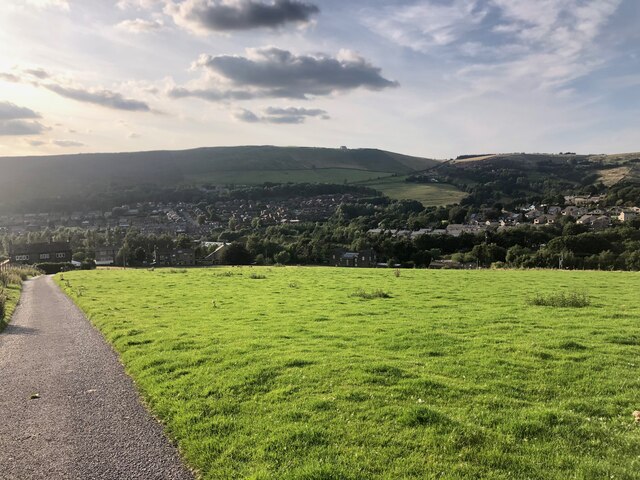
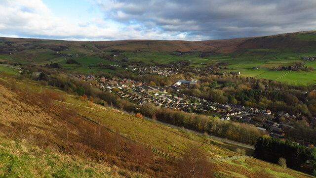
Diggle is a picturesque village situated in the county of Yorkshire, England. It lies in the valley of the River Tame, within the Metropolitan Borough of Oldham. Surrounded by stunning countryside, Diggle is known for its natural beauty and tranquil atmosphere.
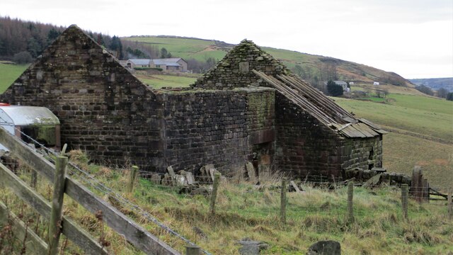
The village is characterized by its charming stone-built houses and traditional architecture, which reflects its rich history. Diggle is believed to have ancient origins, with evidence of Roman occupation in the area. The village features a number of listed buildings, including the historic St. Chad's Church, which dates back to the 19th century.
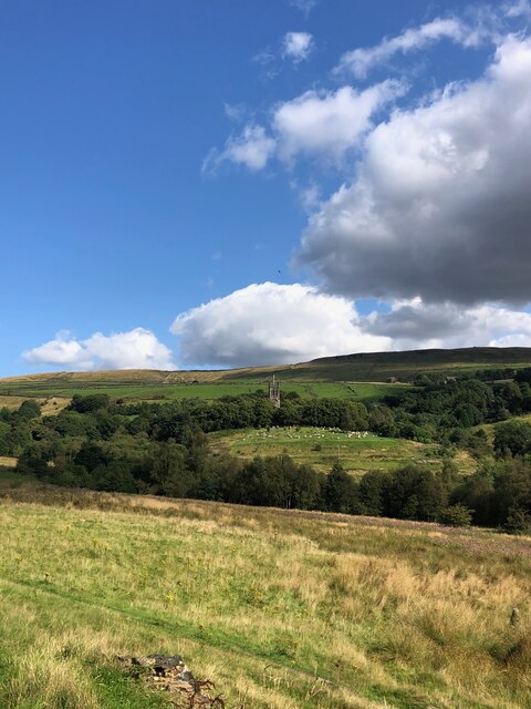
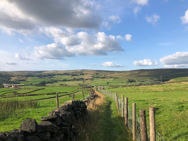
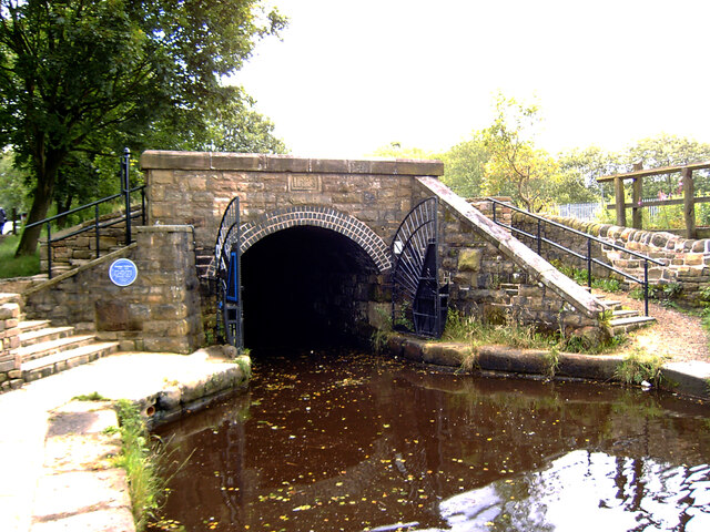
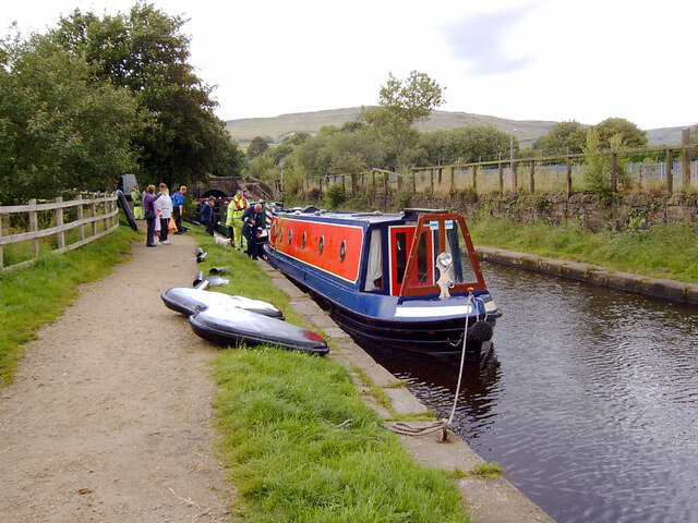
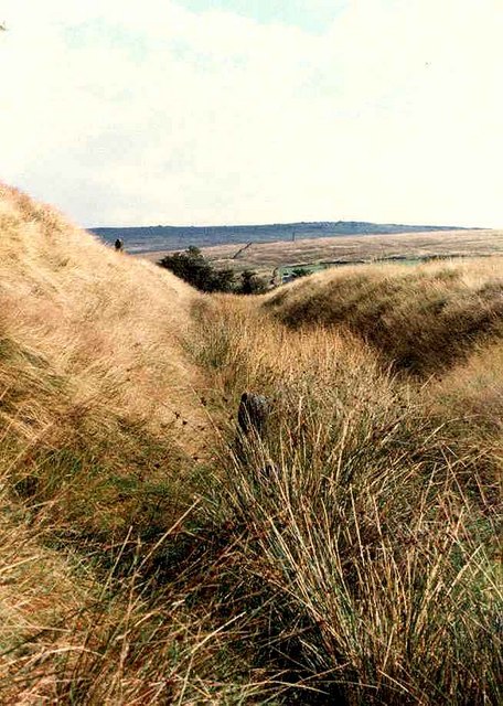
Diggle is a popular destination for outdoor enthusiasts, offering a range of activities for nature lovers. The village is surrounded by scenic walking trails, with the rugged Pennine Way passing nearby. The nearby Diggle Reservoirs provide opportunities for fishing and birdwatching, while the nearby moorland offers stunning panoramic views.
Despite its rural setting, Diggle is well-connected to nearby towns and cities. The village has good road links, with the A62 passing through, providing access to nearby Oldham and Huddersfield. Additionally, Diggle is served by regular bus services, ensuring easy transportation for residents and visitors alike.
The community in Diggle is tight-knit and friendly, with a range of amenities and services available. The village boasts a primary school, a post office, a village hall, and several local shops and pubs, catering to the needs of its residents.
Overall, Diggle is a picturesque and historic village in Yorkshire, offering a tranquil escape and a close connection to nature, while also providing convenient access to nearby urban centers.
If you have any feedback on the listing, please let us know in the comments section below.
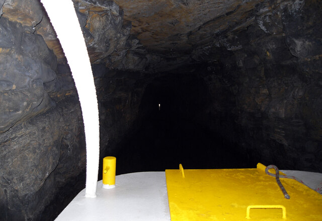
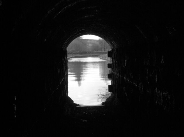
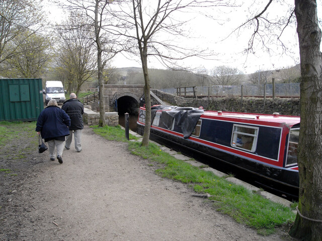
Diggle Images
Images are sourced within 2km of 53.568062/-1.994682 or Grid Reference SE0007. Thanks to Geograph Open Source API. All images are credited.
Diggle is located at Grid Ref: SE0007 (Lat: 53.568062, Lng: -1.994682)
Division: West Riding
Unitary Authority: Oldham
Police Authority: Greater Manchester
What 3 Words
///corrects.slam.clouding. Near Diggle, Manchester
Nearby Locations
Related Wikis

Diggle, Greater Manchester
Diggle is a village in the civil parish of the Saddleworth in Metropolitan Borough of Oldham, in Greater Manchester, England. The village is situated on...

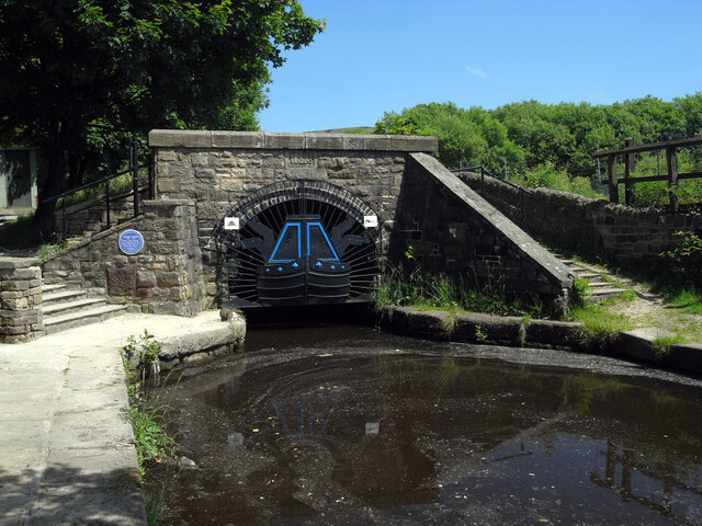
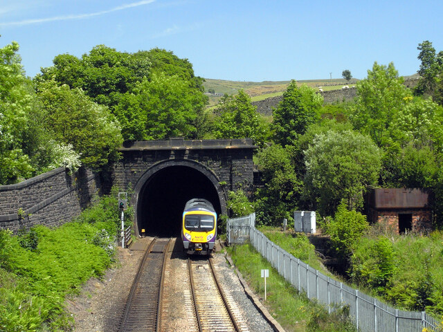
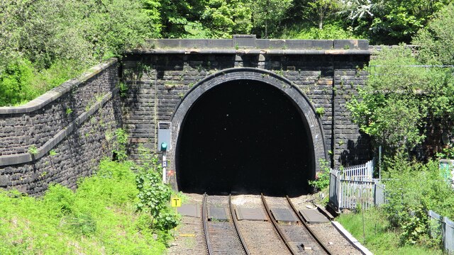
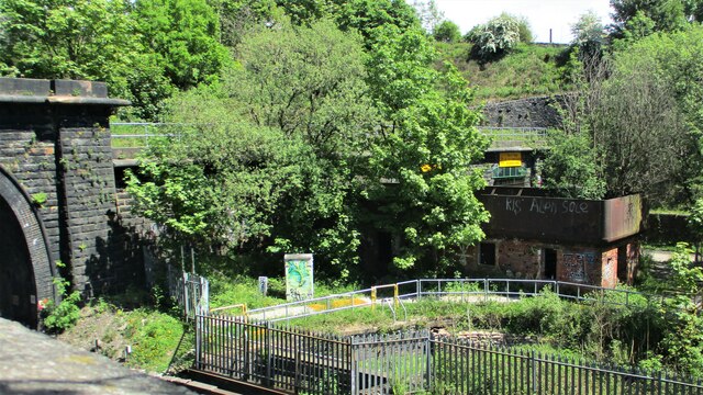
Diggle railway station
Diggle railway station was a station that served the village of Diggle on the Huddersfield Line to the north of Uppermill. Immediately to the west of the...

Castleshaw
Castleshaw is a hamlet in the Saddleworth parish of the Metropolitan Borough of Oldham in Greater Manchester, England. It lies amid the Pennines, 2.4 miles...

Saddleworth railway station
Saddleworth railway station, on the Huddersfield Line in Dobcross to the north of Uppermill, opened in August 1849 and closed to passengers in October...
Castleshaw Roman Fort
Castleshaw Roman fort was a castellum in the Roman province of Britannia. Although there is no evidence to substantiate the claim, it has been suggested...

Dobcross
Dobcross is a village in the civil parish of Saddleworth in the Metropolitan Borough of Oldham in Greater Manchester, England. It is in a valley in the...

Delph railway station
Delph railway station served the village of Delph, Oldham, in what is now Greater Manchester, United Kingdom, between 1851 and 1955. == History == The...

Delph
Delph (Old English (ge)delf a quarry) is a village in the civil parish of Saddleworth in the Metropolitan Borough of Oldham, in Greater Manchester, England...
Related Videos

Delph, Tame Valley Way and Heights, Saddleworth
This was a walk of discoveries in landscape history, nature and past memories. The Tame Valley river was strewn with the ...
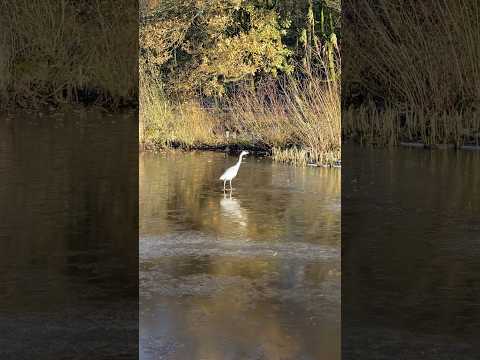
Majestic Heron on a Winter morning | English Canal #birdslover #birdwatching #england
winter #shortsfeed #magic We happen to come across this beautiful Heron, carefully walking on ice trying to catch his breakfast, ...


Beautiful Drive round Saddleworth amazing UK scenery & Dovestones Reservoir walk on Whit Friday 2021
Fantastic Breakfast at Albion Farm, Delph. Followed by a time lapse drive round to see the amazing scenery of saddleworth and a ...
Nearby Amenities
Located within 500m of 53.568062,-1.994682Have you been to Diggle?
Leave your review of Diggle below (or comments, questions and feedback).