Diglis
Settlement in Worcestershire Worcester
England
Diglis
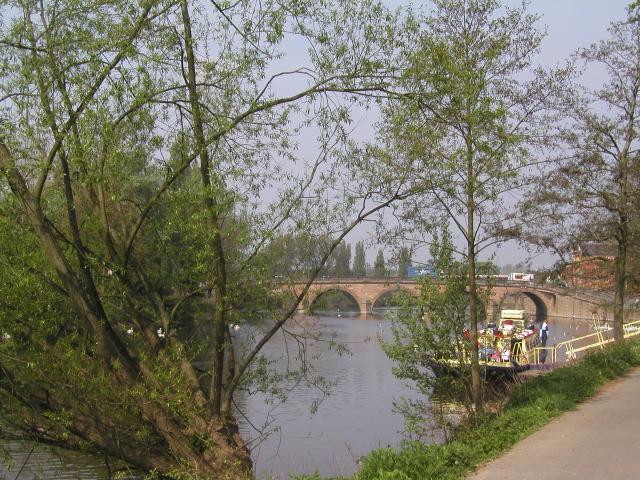
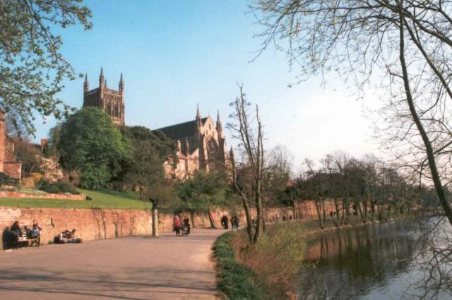
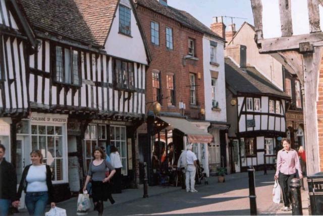
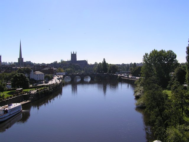
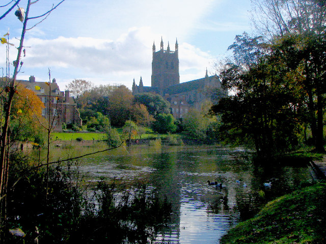
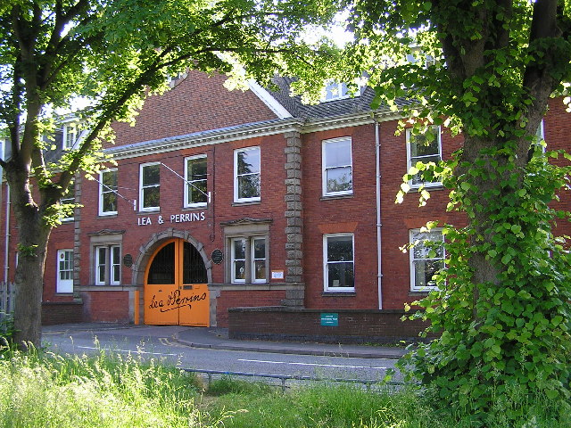
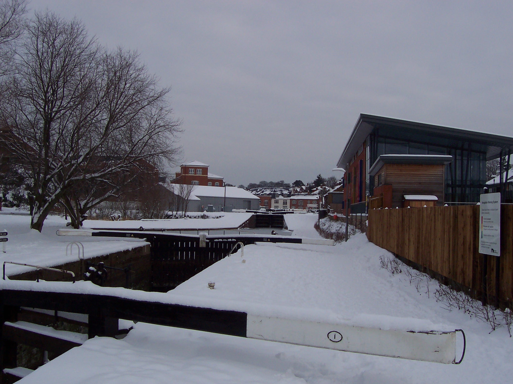
Diglis is a district located in the city of Worcester, Worcestershire, England. Situated on the banks of the River Severn, it is known for its scenic beauty and historical significance. The area was originally a port and trading center, with evidence of its maritime past still visible today.
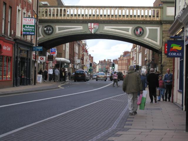
Diglis has evolved over the years and is now a vibrant residential area with a mix of modern developments and charming old buildings. It offers a range of amenities, including shops, restaurants, and leisure facilities, making it an attractive place to live and visit.
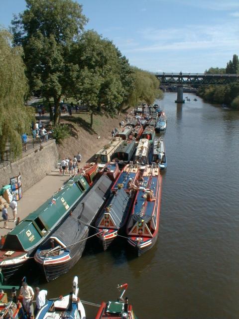
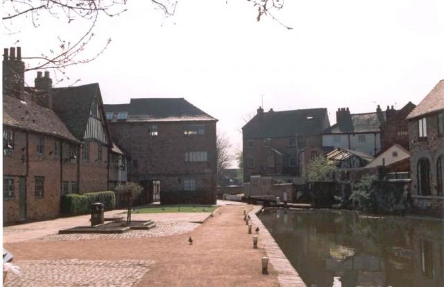
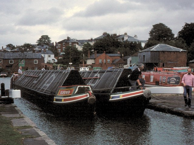
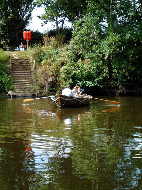
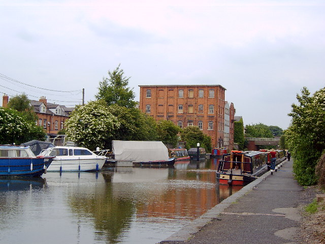
One of Diglis' most prominent features is its marina, which provides moorings for canal boats and yachts. The marina serves as a hub for water-based activities, such as boating, fishing, and kayaking, attracting both locals and tourists alike. The nearby Diglis Basin is a popular spot for leisurely walks and offers picturesque views of the river.
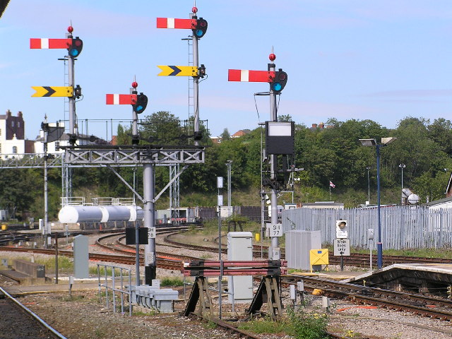
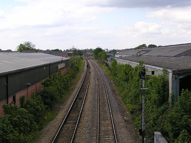
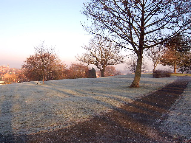
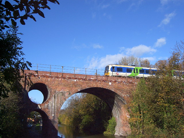
The district is also home to various green spaces, including the Diglis Playing Fields and the Diglis Park, which provide recreational opportunities and a tranquil environment for residents. Additionally, Diglis boasts excellent transport links, with easy access to major roads and Worcester Foregate Street railway station within walking distance.
Overall, Diglis offers a unique blend of natural beauty, historical significance, and modern amenities. It is a thriving community that caters to the needs of its residents while preserving its rich heritage. Whether one is looking for a peaceful riverside retreat or a vibrant place to live, Diglis has something to offer everyone.
If you have any feedback on the listing, please let us know in the comments section below.
Diglis Images
Images are sourced within 2km of 52.183104/-2.222286 or Grid Reference SO8453. Thanks to Geograph Open Source API. All images are credited.


Diglis is located at Grid Ref: SO8453 (Lat: 52.183104, Lng: -2.222286)
Administrative County: Worcestershire
District: Worcester
Police Authority: West Mercia
What 3 Words
///backup.clubs.tunnel. Near Worcester, Worcestershire
Nearby Locations
Related Wikis
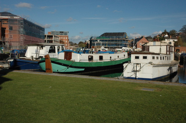
Diglis Basin
Diglis Basin is a canal basin on the Worcester and Birmingham Canal. It is situated in Diglis in the centre of Worcester, England, near The Commandery...
Diglis
Diglis is a suburb of Worcester, England. It is located around half a mile south of the city centre on the banks of the River Severn. The Worcester and...

King's School Worcester Boat Club
King's School Worcester Boat Club is a rowing club on the River Severn, based at the Michael Baker Boathouse, Severn Street, Worcester, Worcestershire...
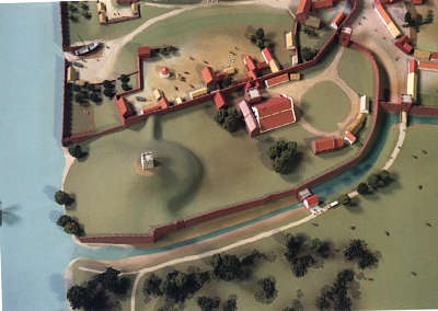
Worcester Castle
Worcester Castle was a Norman fortification built between 1068 and 1069 in Worcester, England by Urse d'Abetot on behalf of William the Conqueror. The...
Nearby Amenities
Located within 500m of 52.183104,-2.222286Have you been to Diglis?
Leave your review of Diglis below (or comments, questions and feedback).