Chapter Meadows
Downs, Moorland in Worcestershire Worcester
England
Chapter Meadows
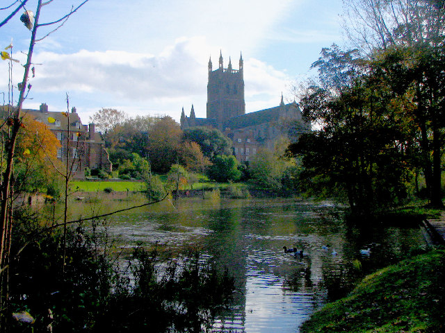
Chapter Meadows is a picturesque area located in Worcestershire, England, known for its stunning Downs and Moorland landscapes. It covers a vast expanse, offering visitors a diverse range of natural beauty and outdoor recreational opportunities.
The Downs in Chapter Meadows are characterized by rolling hills and expansive grasslands. They provide a scenic backdrop for hikers, walkers, and nature enthusiasts, who can explore the area's extensive network of trails. From the hilltops, visitors can enjoy breathtaking panoramic views of the surrounding countryside, including lush valleys and charming villages.
The Moorland in Chapter Meadows is a unique ecosystem that is home to a variety of plant and animal species. This expansive area is characterized by its open, treeless landscape, covered in heather and various types of grasses. Moorland birds, such as curlews and lapwings, can often be spotted nesting in the area, making it a haven for birdwatchers.
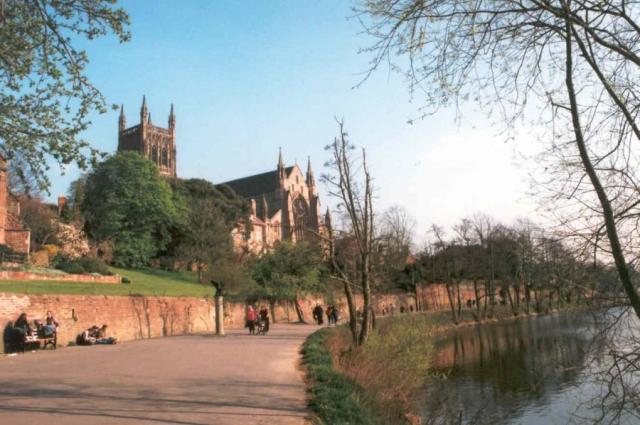
Chapter Meadows is also home to several important historical sites, adding cultural significance to the natural beauty. Ruins of ancient settlements and burial mounds can be found scattered across the landscape, providing a glimpse into the region's rich history.
Overall, Chapter Meadows in Worcestershire is a haven for nature lovers and history enthusiasts alike. Its Downs and Moorland offer stunning vistas, diverse wildlife, and a chance to immerse oneself in the natural beauty and tranquility of the area.
If you have any feedback on the listing, please let us know in the comments section below.
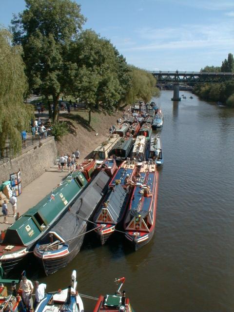
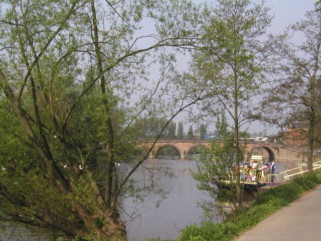
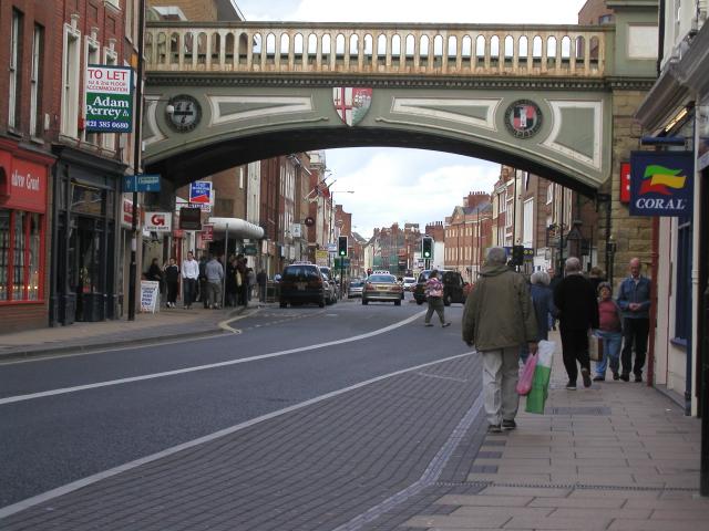
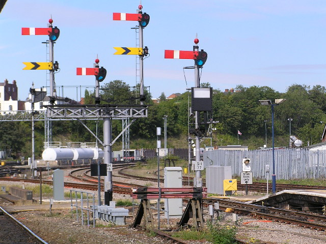
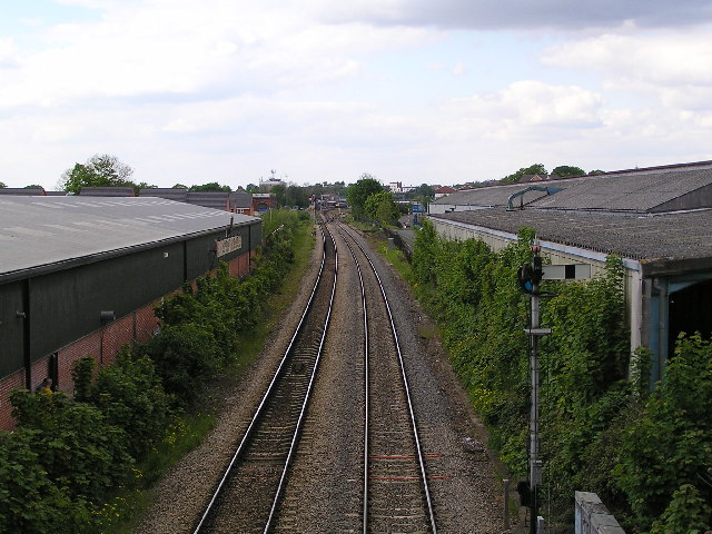
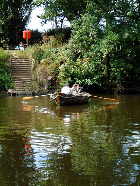
Chapter Meadows Images
Images are sourced within 2km of 52.182683/-2.2259221 or Grid Reference SO8453. Thanks to Geograph Open Source API. All images are credited.
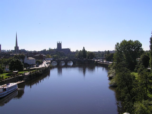

Chapter Meadows is located at Grid Ref: SO8453 (Lat: 52.182683, Lng: -2.2259221)
Administrative County: Worcestershire
District: Worcester
Police Authority: West Mercia
What 3 Words
///scans.ridge.rust. Near Worcester, Worcestershire
Nearby Locations
Related Wikis
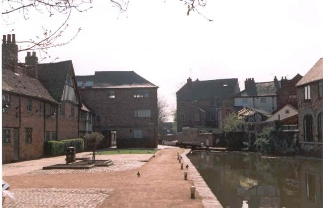
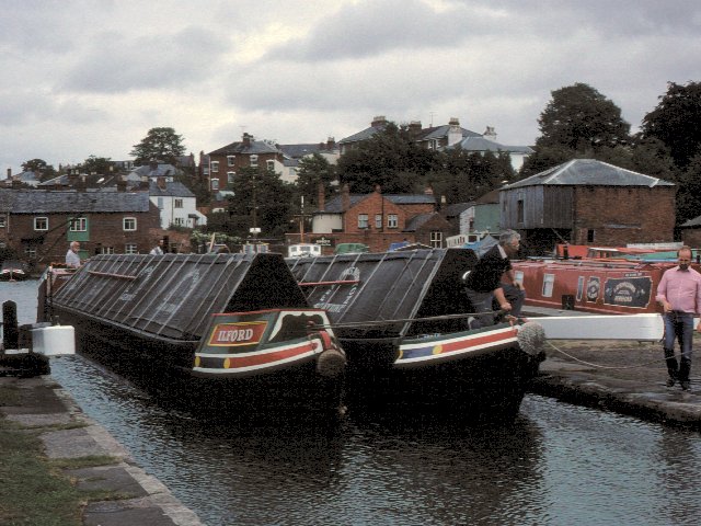
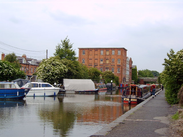
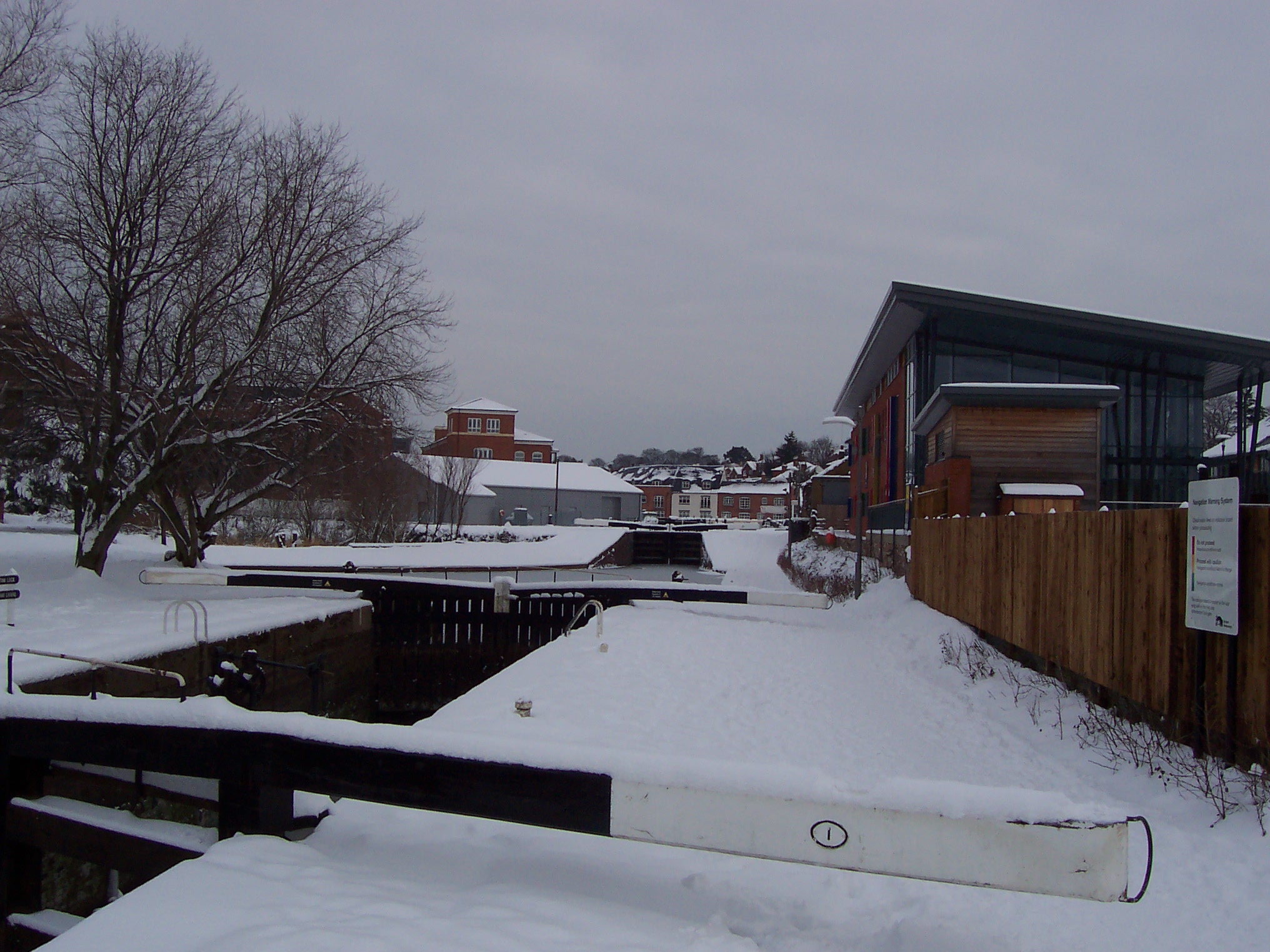
Diglis Basin
Diglis Basin is a canal basin on the Worcester and Birmingham Canal. It is situated in Diglis in the centre of Worcester, England, near The Commandery...
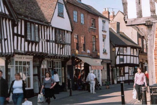
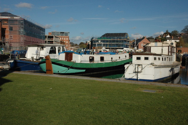
Diglis
Diglis is a suburb of Worcester, England. It is located around half a mile south of the city centre on the banks of the River Severn. The Worcester and...

King's School Worcester Boat Club
King's School Worcester Boat Club is a rowing club on the River Severn, based at the Michael Baker Boathouse, Severn Street, Worcester, Worcestershire...
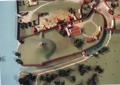
Worcester Castle
Worcester Castle was a Norman fortification built between 1068 and 1069 in Worcester, England by Urse d'Abetot on behalf of William the Conqueror. The...
Related Videos

Streets of Worcester: A Scenic Walking Experience
Embark on a journey through the enchanting streets of Worcester, England, as we lace up our walking shoes and delve into the ...

Walking Around Worcester, Worcestershire, England Sunday, 31st December 2023 #walking #4kwalking
An afternoon walk around Worcester & the river Severn, Worcestershire, England Including Hylton Road A443, Henwick Parade, ...

4K | Worcester City | UK | Walking tour #worcester #uk #river #history #holiday #christmas #relax
Worcester, in the United Kingdom, is a historic city located in Worcestershire. It's known for Worcester Cathedral, the Royal ...

Walking Around Worcester, Worcestershire, England. Wednesday, 31st January 2024 #4kwalking #4kwalk
An afternoon & evening walk around Worcester, Worcestershire, England. Including Tudor Way, Grove Crescent, Bromyard Road ...
Nearby Amenities
Located within 500m of 52.182683,-2.2259221Have you been to Chapter Meadows?
Leave your review of Chapter Meadows below (or comments, questions and feedback).