Holly Grove
Settlement in Yorkshire
England
Holly Grove
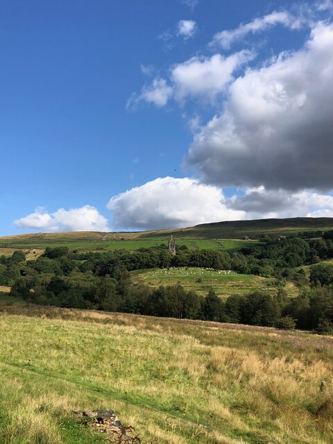
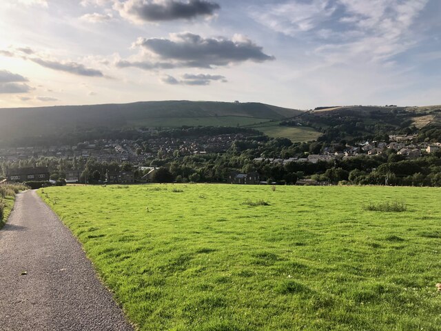
Holly Grove is a picturesque village situated in the heart of Yorkshire, England. Nestled between rolling hills and green meadows, it boasts a population of approximately 500 residents. The village is renowned for its idyllic and tranquil setting, making it a popular choice for those seeking a peaceful countryside retreat.
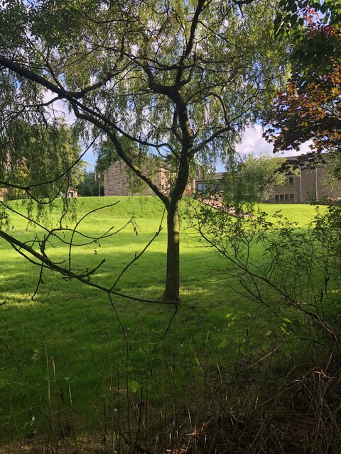
The architecture of Holly Grove is largely traditional, with charming stone cottages lining the streets. These buildings exude a rustic charm, showcasing the village's rich history and heritage. The village church, dating back to the 14th century, stands proudly at the center of Holly Grove, serving as a focal point for the community.
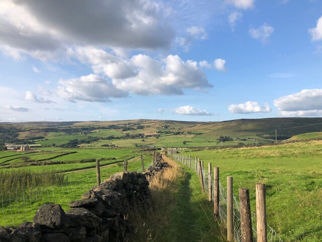
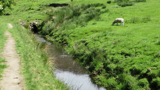
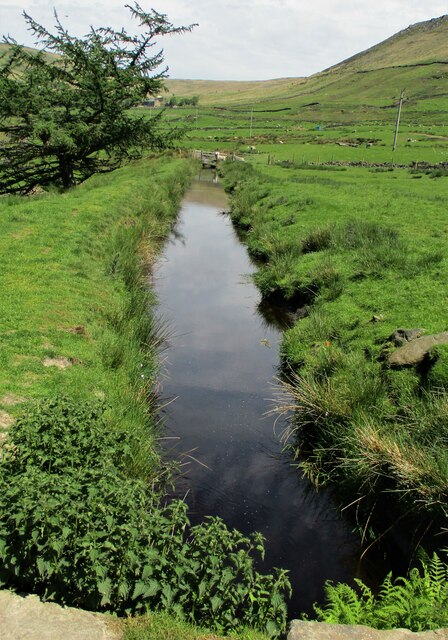
Surrounded by lush landscapes, Holly Grove offers a myriad of outdoor activities for nature enthusiasts. The nearby Holly Grove Forest provides ample opportunities for hiking and cycling, with its well-maintained trails and breathtaking views. The village is also located close to a picturesque river, offering fishing and boating opportunities for those who enjoy water-based pursuits.
Despite its rural setting, Holly Grove boasts a close-knit community and a range of amenities. The village is home to a small but vibrant market square, where residents can find a variety of local shops, cafes, and a pub. The village school provides education for the local children, fostering a strong sense of community spirit.
Overall, Holly Grove is a charming and peaceful village, offering a tranquil escape from the hustle and bustle of city life. With its natural beauty, rich history, and strong community ties, it is no wonder that Holly Grove is cherished by its residents and visitors alike.
If you have any feedback on the listing, please let us know in the comments section below.
Holly Grove Images
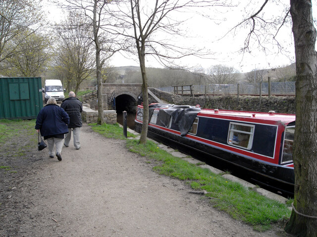
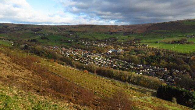
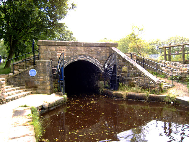
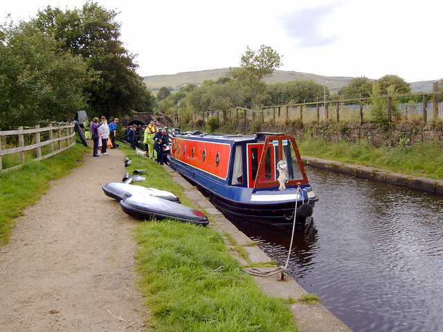
Images are sourced within 2km of 53.561139/-1.994693 or Grid Reference SE0007. Thanks to Geograph Open Source API. All images are credited.
Holly Grove is located at Grid Ref: SE0007 (Lat: 53.561139, Lng: -1.994693)
Division: West Riding
Unitary Authority: Oldham
Police Authority: Greater Manchester
What 3 Words
///streak.dinosaur.disband. Near Diggle, Manchester
Nearby Locations
Related Wikis

Diggle, Greater Manchester
Diggle is a village in the civil parish of the Saddleworth in Metropolitan Borough of Oldham, in Greater Manchester, England. The village is situated on...

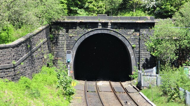
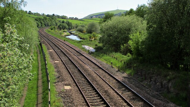
Diggle railway station
Diggle railway station was a station that served the village of Diggle on the Huddersfield Line to the north of Uppermill. Immediately to the west of the...

Saddleworth railway station
Saddleworth railway station, on the Huddersfield Line in Dobcross to the north of Uppermill, opened in August 1849 and closed to passengers in October...

Saddleworth
Saddleworth is a civil parish of the Metropolitan Borough of Oldham in Greater Manchester, England. It comprises several villages and hamlets as well as...
Nearby Amenities
Located within 500m of 53.561139,-1.994693Have you been to Holly Grove?
Leave your review of Holly Grove below (or comments, questions and feedback).