Paultons Park

Wood, Forest in Hampshire New Forest

England

Paultons Park

Trees near Blackhill with, Foxbury heathland restoration beyond
Trees near Blackhill with, Foxbury heathland restoration beyond Credit: David Martin

Paultons Park, located in Hampshire, England, is a popular family-oriented theme park known for its enchanting woodland setting. Spanning over 140 acres, the park offers a unique combination of thrilling rides, captivating attractions, and beautiful natural surroundings.

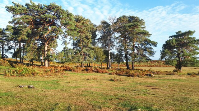
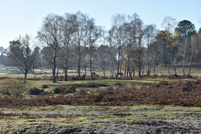
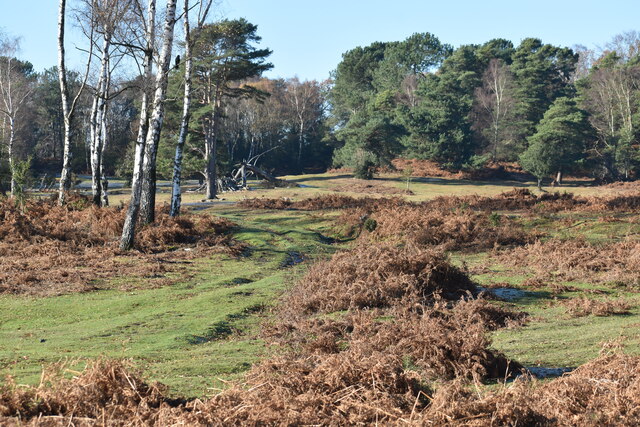
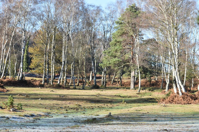
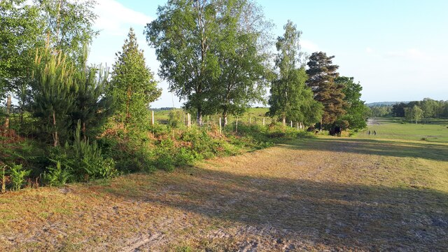
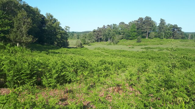
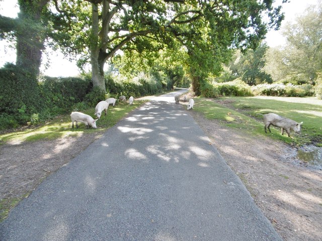
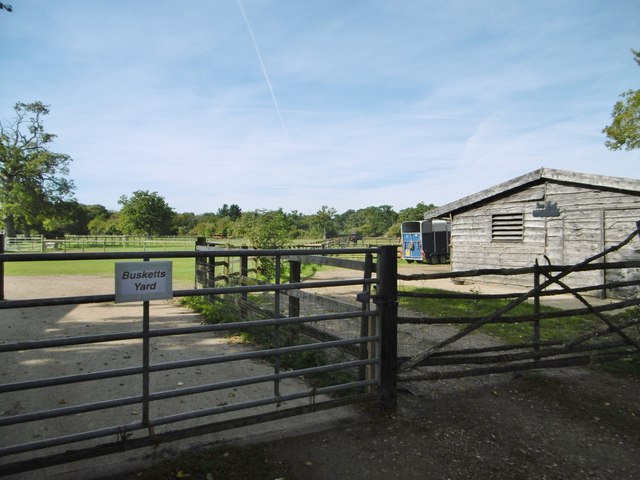
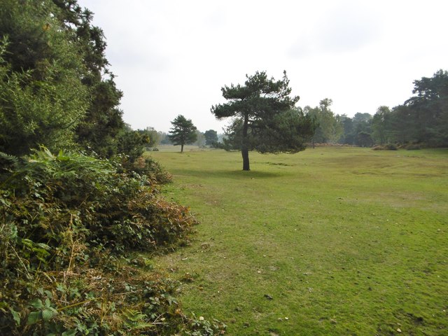
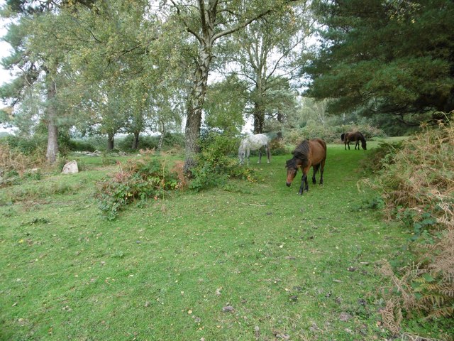
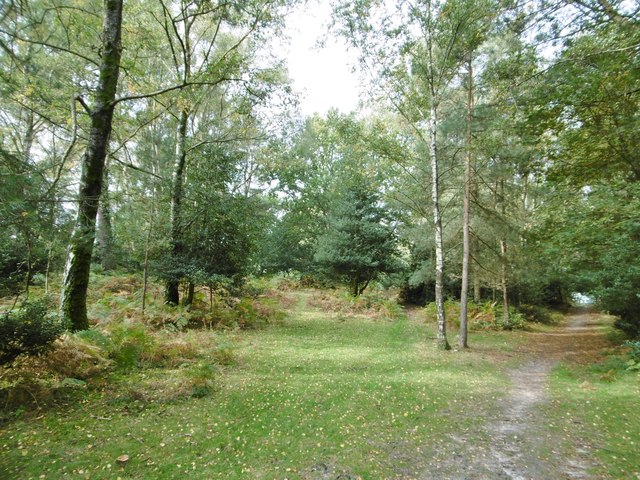
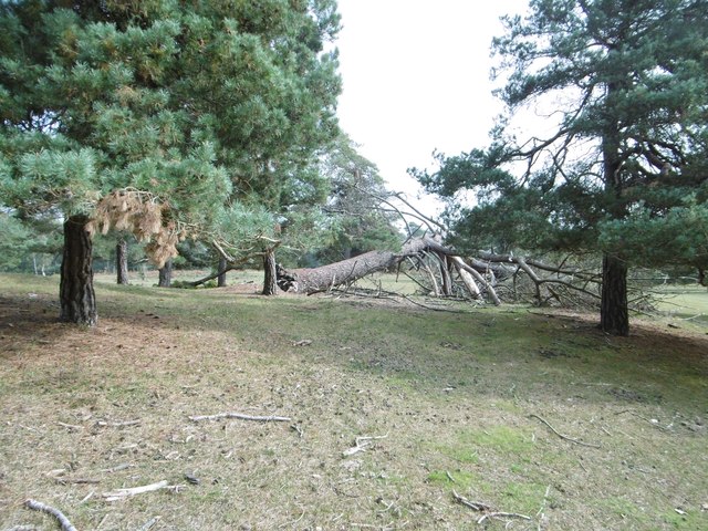
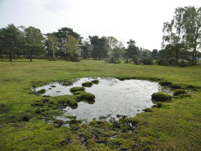
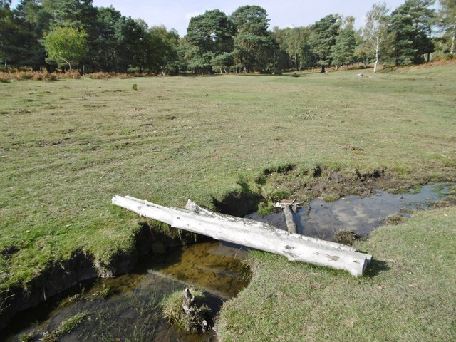
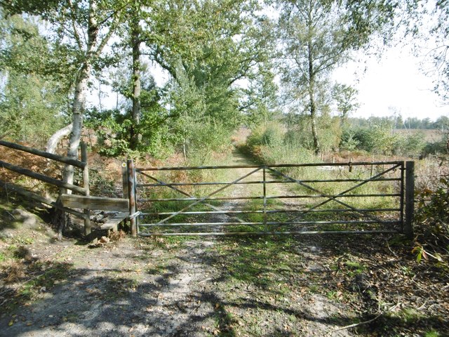
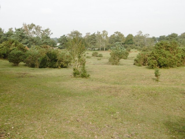
One of the park's main highlights is the extensive woodland area, which covers a significant portion of the park's grounds. The forest is home to a wide variety of trees, including oak, beech, and pine, creating a tranquil and picturesque atmosphere. Visitors can take leisurely walks along the forest trails, immersing themselves in the peaceful ambience and enjoying the beauty of nature.

In addition to the woodland, Paultons Park boasts a range of attractions and rides suitable for all ages. The park is particularly well-known for Peppa Pig World, a themed land dedicated to the beloved children's character. Here, young children can explore George's Spaceship Playzone, ride on Daddy Pig's Car Ride, or meet Peppa and her friends at the meet-and-greet sessions.

For thrill-seekers, Paultons Park offers a selection of exhilarating rides, including roller coasters, water rides, and the popular Flight of the Pterosaur. The park also features a variety of themed areas, such as Dinosaur Valley, where visitors can encounter life-sized animatronic dinosaurs.

Paultons Park is committed to providing a safe and enjoyable experience for all visitors. The park offers amenities such as restaurants, cafes, and picnic areas, ensuring that families can relax and refuel during their visit. With its combination of natural beauty and exciting attractions, Paultons Park is a must-visit destination for families seeking a fun-filled day out in Hampshire.

If you have any feedback on the listing, please let us know in the comments section below.

Paultons Park Images

Images are sourced within 2km of 50.944887/-1.5600916 or Grid Reference SU3116. Thanks to Geograph Open Source API. All images are credited.

Trees near Blackhill with, Foxbury heathland restoration beyond
View across Half Moon Common
Grassy path across Half Moon Common
Sunlight and frost on Half Moon Common
Summer evening at Blackhill Looking along the fence of the National Trust's Foxbury heathland restoration project.
Summer evening at Blackhill
Looking along the fence of the National Trust's Foxbury heathland restoration project.
Bracken-filled valley adjacent to Half Moon Common Former boundaries have been removed, making this area continuous with the more open and grassy Half Moon Common.
Bracken-filled valley adjacent to Half Moon Common
Former boundaries have been removed, making this area continuous with the more open and grassy Half Moon Common.
Newbridge, cattle grid At the south-eastern boundary of Cadnam Common.
Newbridge, cattle grid
At the south-eastern boundary of Cadnam Common.
Cadnam Common, National Trust marker Cadnam Common is an "adjacent common", sharing geographical and ecological features with the New Forest, but not crown land; this common is owned by the National Trust. <span class="nowrap"><a title="http://www.nationaltrust.org.uk/new-forest-northern-commons/" rel="nofollow ugc noopener" href="http://www.nationaltrust.org.uk/new-forest-northern-commons/">Link</a><img style="margin-left:2px;" alt="External link" title="External link - shift click to open in new window" src="https://s1.geograph.org.uk/img/external.png" width="10" height="10"/></span>
Cadnam Common, National Trust marker
Cadnam Common is an "adjacent common", sharing geographical and ecological features with the New Forest, but not crown land; this common is owned by the National Trust. LinkExternal link
Cadnam Common, pannage pigs A herd of eleven pigs, doing what they should do in the pannage season - forage for acorns and beech mast, which can be poisonous to other livestock. <span class="nowrap"><a title="http://www.thenewforest.co.uk/discover/pigs.aspx#" rel="nofollow ugc noopener" href="http://www.thenewforest.co.uk/discover/pigs.aspx#">Link</a><img style="margin-left:2px;" alt="External link" title="External link - shift click to open in new window" src="https://s1.geograph.org.uk/img/external.png" width="10" height="10"/></span>
Cadnam Common, pannage pigs
A herd of eleven pigs, doing what they should do in the pannage season - forage for acorns and beech mast, which can be poisonous to other livestock. LinkExternal link
Cadnam, Busketts Yard Stables on Cadnam Lane.
Cadnam, Busketts Yard
Stables on Cadnam Lane.
Half Moon Common An "adjacent common" - near the New Forest, and sharing physical characteristics with it, but not Crown land; owned by the National Trust. Grassland, with patches of woodland and isolated trees, often conifers.
Half Moon Common
An "adjacent common" - near the New Forest, and sharing physical characteristics with it, but not Crown land; owned by the National Trust. Grassland, with patches of woodland and isolated trees, often conifers.
Half Moon Common, ponies New Forest ponies grazing next to Black Hill Road.
Half Moon Common, ponies
New Forest ponies grazing next to Black Hill Road.
Half Moon Common, open woodland With oak, birch and conifers, and holly in the under-storey.
Half Moon Common, open woodland
With oak, birch and conifers, and holly in the under-storey.
Half Moon Common, fallen tree
Half Moon Common, pond
Half Moon Common, footbridge An informal bridge over a ditch, comprising four birch trunks.
Half Moon Common, footbridge
An informal bridge over a ditch, comprising four birch trunks.
Half Moon Common, gate & stile At the eastern boundary of the common, on the path and forestry road to Home Farm and A36.
Half Moon Common, gate & stile
At the eastern boundary of the common, on the path and forestry road to Home Farm and A36.
Half Moon Common An "adjacent common" - sharing similar characteristics with the nearby New Forest, but not Crown land; owned by the National Trust. Land at this end of the common is undulating grassland, with patches of scrub and wet gullies.
Half Moon Common
An "adjacent common" - sharing similar characteristics with the nearby New Forest, but not Crown land; owned by the National Trust. Land at this end of the common is undulating grassland, with patches of scrub and wet gullies.
Show me another place!

Paultons Park is located at Grid Ref: SU3116 (Lat: 50.944887, Lng: -1.5600916)

Administrative County: Hampshire

District: New Forest

Police Authority: Hampshire

What 3 Words

///dime.acclaim.cushy. Near Cadnam, Hampshire

Related Wikis

Paultons Park

Paultons Park is an amusement park located in the New Forest National Park, near the village of Ower, in Hampshire, England, with over 70 rides and attractions...

Storm Chaser (Paultons Park)

Storm Chaser is a steel spinning roller coaster located at Paultons Park in Hampshire, England. The coaster debuted alongside the new £12 million Tornado...

Copythorne Common

Copythorne Common is a 17-hectare (42-acre) nature reserve west of Southampton in Hampshire. It is managed by the Hampshire and Isle of Wight Wildlife...

Ower

Ower is a hamlet in the New Forest district of Hampshire, England. Its nearest towns are Totton – approximately 3 miles (4.8 km) to the southeast, and...

Copythorne

Copythorne is a village and civil parish in Hampshire, England, within the boundaries of the New Forest National Park. == Overview == Copythorne is in...

Winsor, Hampshire

Winsor is a village in the civil parish of Copythorne, in Hampshire, England. It is situated within the boundaries of the New Forest National Park. Surrounding...

Tatchbury Mount Hospital

Tatchbury Mount Hospital is a health facility to the north of Totton, Hampshire, England. It is owned and managed by Southern Health NHS Foundation Trust...

Bartley, Hampshire

Bartley is a village in Hampshire, England, within the boundaries of the New Forest National Park, seven miles (11 km) west of Southampton. == Overview... ==

Nearby Amenities

Located within 500m of 50.944887,-1.5600916
Power: tower
Source: Bing
Lat/Long: 50.9430971/-1.5558635
Power: tower
Source: Bing
Lat/Long: 50.9467674/-1.5587957
Power: tower
Source: Bing
Lat/Long: 50.9450102/-1.5582668
Access: no
Barrier: block
Lat/Long: 50.9471001/-1.5553078
Flight of the Pterosaur
Attraction: amusement_ride
Lat/Long: 50.948182/-1.5557845
Velociraptor
Attraction: amusement_ride
Lat/Long: 50.9482091/-1.556463
Dino Chase
Attraction: amusement_ride
Lat/Long: 50.9484558/-1.5565436
Boulder Dash
Attraction: amusement_ride
Lat/Long: 50.9480688/-1.5560983
Raging River Ride
Attraction: amusement_ride
Lat/Long: 50.9477697/-1.5551421
Go-Karts
Attraction: amusement_ride
Lat/Long: 50.9480097/-1.5570853
Access: no
Barrier: block
Lat/Long: 50.9469328/-1.5580534
Lost Kingdom
Tourism: theme_park
Lat/Long: 50.9482664/-1.5555155
Trampolines
Leisure: trampoline_park
Lat/Long: 50.9476819/-1.5569175
Bouncer
Leisure: trampoline_park
Lat/Long: 50.9476131/-1.5568155
Leisure: picnic_table
Lat/Long: 50.9477825/-1.5558955
Leisure: picnic_table
Lat/Long: 50.9477571/-1.5557507
Man Made: water_well
Lat/Long: 50.940704/-1.5623398
Drinking Water
Bottle refill
Lat/Long: 50.9479168/-1.5549634
Noexit: yes
Lat/Long: 50.9468324/-1.5572235
Noexit: yes
Lat/Long: 50.9475264/-1.5548755
The data included in this document is from www.openstreetmap.org. The data is made available under ODbL.

Have you been to Paultons Park?

Leave your review of Paultons Park below (or comments, questions and feedback).