The Barns Plantation

Wood, Forest in Oxfordshire West Oxfordshire

England

The Barns Plantation

Gates by the B4450 The trees visible on the horizon are by the road between Boulter's Barn and The Beeches, and are just over 400 metres away.
Gates by the B4450 Credit: Derek Harper

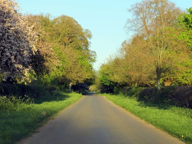
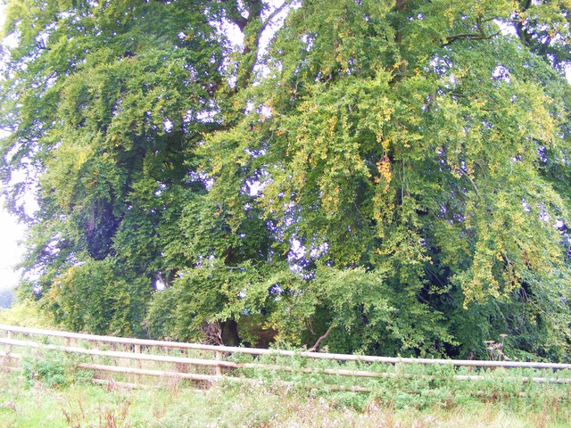
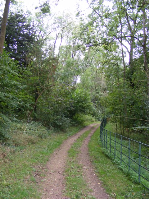
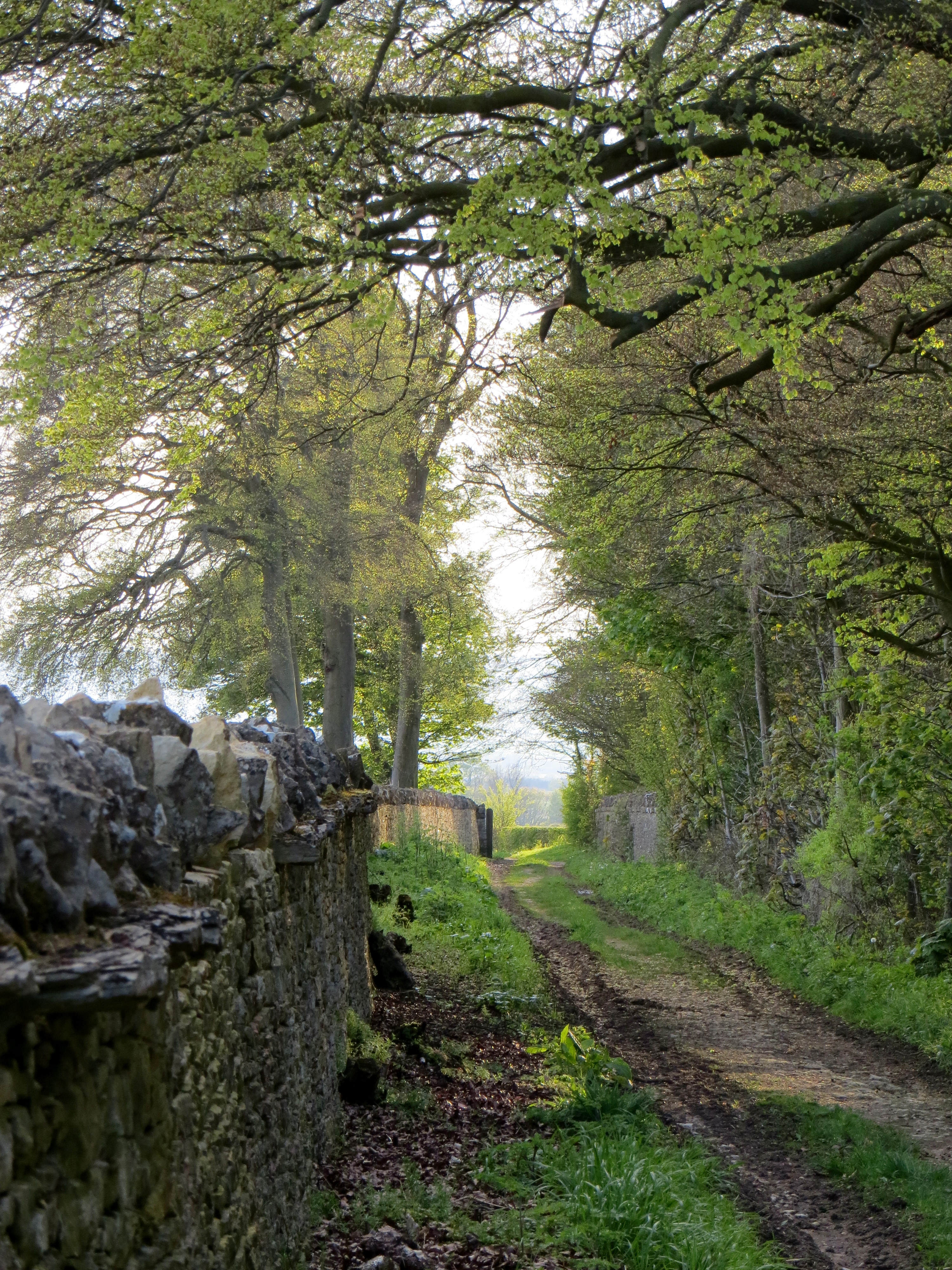
The Barns Plantation in Oxfordshire is a picturesque woodland area located near the village of Wood. This forested area covers approximately 50 acres and is known for its diverse flora and fauna, including a variety of indigenous tree species such as oak, beech, and birch. The plantation is a popular destination for nature lovers and outdoor enthusiasts, offering numerous walking trails and picnic areas for visitors to enjoy.

The Barns Plantation is also home to a wide range of wildlife, including deer, squirrels, and a variety of bird species. Birdwatchers will delight in the opportunity to spot species such as woodpeckers, owls, and robins in their natural habitat.

The plantation is well-maintained and offers a peaceful and tranquil setting for visitors to escape the hustle and bustle of everyday life. Whether you're looking for a leisurely stroll through the woods, a spot to have a picnic with family and friends, or a peaceful retreat to connect with nature, The Barns Plantation in Oxfordshire is a must-visit destination for nature enthusiasts of all ages.

If you have any feedback on the listing, please let us know in the comments section below.

The Barns Plantation Images

Images are sourced within 2km of 51.915813/-1.5505858 or Grid Reference SP3124. Thanks to Geograph Open Source API. All images are credited.

Gates by the B4450 The trees visible on the horizon are by the road between Boulter's Barn and The Beeches, and are just over 400 metres away.
Gates by the B4450
The trees visible on the horizon are by the road between Boulter's Barn and The Beeches, and are just over 400 metres away.
Rural road to Chadlington
A bend in the road to Chadlington
Tumulus, Besbury Lane, Churchill A Bronze Age round barrow on a high point (~210m) in Churchill, Oxfordshire.
Tumulus, Besbury Lane, Churchill
A Bronze Age round barrow on a high point (~210m) in Churchill, Oxfordshire.
Squires Clump tumulus This monument includes an Anglo-Saxon burial mound, or 'hlaew', situated
in Squire's Clump, 500m south west of Iron Buildings. The barrow lies on a
false crest overlooking the land to the south, east and west, including the
present village of Sarsden. The barrow mound measures 23m in diameter and stands up to 3m high. It has a flat top with an otherwise conical profile. The mound is surrounded by a dry stone revetment wall which sits on a narrow 0.5m wide berm. This is surrounded by a quarry ditch from which material was obtained during the construction of the mound. This has been redug and survives as a 4m wide and 0.8m deep feature. The Squire's Clump barrow was used as a landscape feature during the 18th century when beech trees were planted around it and the wall was rebuilt. The name Squire's Clump can also be attributed to this phase in the monument's history. (ancientmonuments.uk)
Squires Clump tumulus
This monument includes an Anglo-Saxon burial mound, or 'hlaew', situated in Squire's Clump, 500m south west of Iron Buildings. The barrow lies on a false crest overlooking the land to the south, east and west, including the present village of Sarsden. The barrow mound measures 23m in diameter and stands up to 3m high. It has a flat top with an otherwise conical profile. The mound is surrounded by a dry stone revetment wall which sits on a narrow 0.5m wide berm. This is surrounded by a quarry ditch from which material was obtained during the construction of the mound. This has been redug and survives as a 4m wide and 0.8m deep feature. The Squire's Clump barrow was used as a landscape feature during the 18th century when beech trees were planted around it and the wall was rebuilt. The name Squire's Clump can also be attributed to this phase in the monument's history. (ancientmonuments.uk)
Sarsden signpost
Sarsden signpost
Sarsden Estate wooden sign
Bridleway through Sarsden Woods
Waymarker, bridleway through Sarsden Woods
Country crossroads Behind the camera to Sarsden.  Left to Churchill.  Right to the A361 road.  The no-through-road straight ahead serves Parsonage Farm and Iron Building then becomes a bridleway.
Country crossroads
Behind the camera to Sarsden. Left to Churchill. Right to the A361 road. The no-through-road straight ahead serves Parsonage Farm and Iron Building then becomes a bridleway.
Shady lane The thick trees on the right of the track to Iron Buildings gives way to a high hedge.
Shady lane
The thick trees on the right of the track to Iron Buildings gives way to a high hedge.
The way to Parsonage Farm The track leads to the farm which is tucked into a fold.
The way to Parsonage Farm
The track leads to the farm which is tucked into a fold.
Nursery Plantation Seen from the track.
Nursery Plantation
Seen from the track.
To the woods The track leads into Nursery Plantation.
To the woods
The track leads into Nursery Plantation.
Towards the valley bottom The path continues to descend to cross Sars Brook in the valley bottom.
Towards the valley bottom
The path continues to descend to cross Sars Brook in the valley bottom.
Towards Sars Brook As it nears the brook, the path becomes enclosed.
Towards Sars Brook
As it nears the brook, the path becomes enclosed.
Out of the valley After crossing Sars Brook, the footpath ascends towards Parsonage Farm.
Out of the valley
After crossing Sars Brook, the footpath ascends towards Parsonage Farm.
Valley view A view across the valley of Sars Brook, seen from near Parsonage Farm.
Valley view
A view across the valley of Sars Brook, seen from near Parsonage Farm.
Show me another place!

The Barns Plantation is located at Grid Ref: SP3124 (Lat: 51.915813, Lng: -1.5505858)

Administrative County: Oxfordshire

District: West Oxfordshire

Police Authority: Thames Valley

What 3 Words

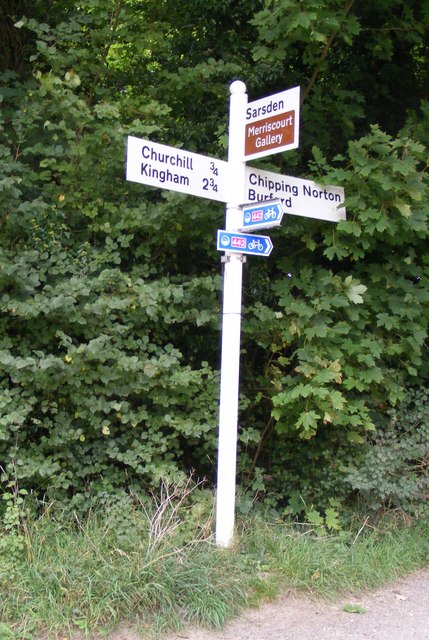
///teacher.syndicate.cherished. Near Chipping Norton, Oxfordshire

Nearby Locations

The Barns Plantation

Related Wikis

The Dower House, Sarsgrove Wood

The Dower House, Sarsgrove Wood is a Grade II* listed house in Sarsgrove Wood, Churchill, Oxfordshire, England (near Chipping Norton).The house has been...
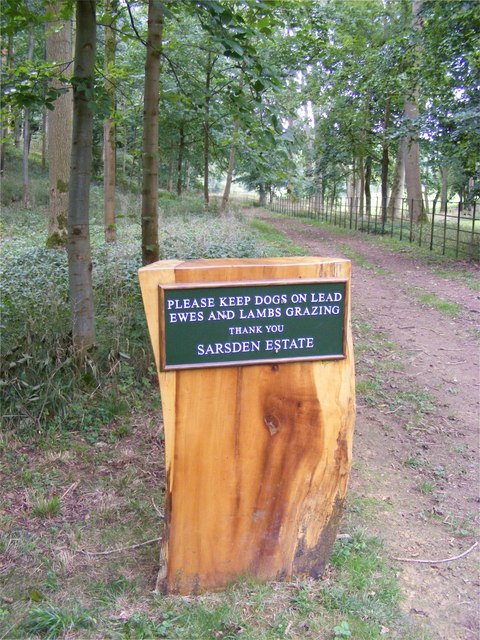
Sarsgrove Wood

Sarsgrove Wood is a 41.9-hectare (104-acre) biological Site of Special Scientific Interest south of Chipping Norton in Oxfordshire.This ancient wood has...

Knollbury

Knollbury is a scheduled Iron Age hillfort enclosure to the north west of Chadlington in Oxfordshire. Believed to be defensive in nature the enclosure...

Chipping Norton Town Swifts F.C.

Chipping Norton Town Football Club is a football club based in Chipping Norton, Oxfordshire. They play at Walterbush Road. == History == The club was...

Nearby Amenities

Located within 500m of 51.915813,-1.5505858
Power: pole
Source: Bing
Lat/Long: 51.9146921/-1.5502628
Power: pole
Source: Bing
Lat/Long: 51.9179317/-1.5497863
Power: pole
Source: Bing
Lat/Long: 51.9137428/-1.5498292
Power: pole
Source: Bing
Lat/Long: 51.9124323/-1.549282
Power: pole
Source: Bing
Lat/Long: 51.9192651/-1.549561
Disused Amenity: restaurant
Lat/Long: 51.9142734/-1.5446049
The data included in this document is from www.openstreetmap.org. The data is made available under ODbL.

Have you been to The Barns Plantation?

Leave your review of The Barns Plantation below (or comments, questions and feedback).