Middle Copse

Wood, Forest in Hampshire New Forest

England

Middle Copse

Trees near Blackhill with, Foxbury heathland restoration beyond
Trees near Blackhill with, Foxbury heathland restoration beyond Credit: David Martin

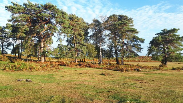
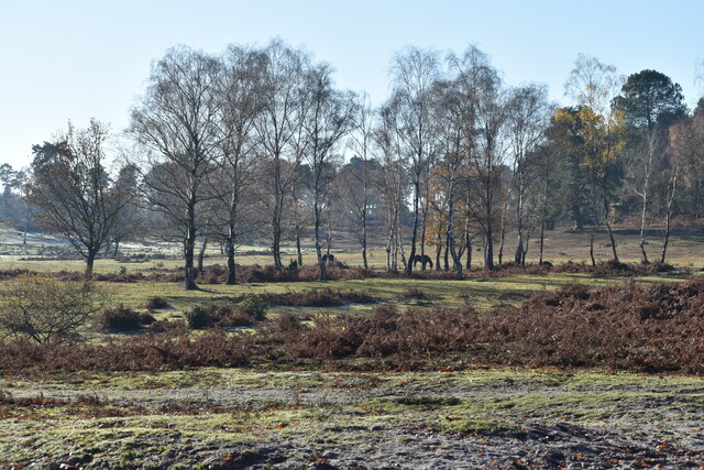
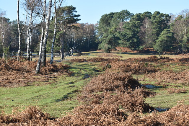
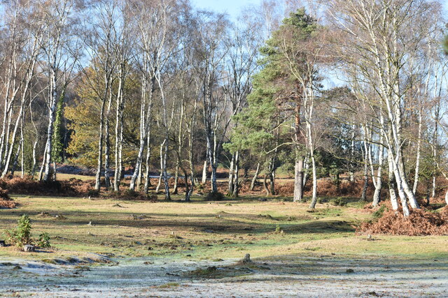
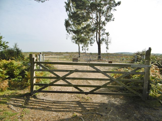
Middle Copse is a picturesque woodland located in the county of Hampshire, England. Covering an area of approximately 50 acres, it is situated near the village of Burley and forms part of the expansive New Forest National Park.

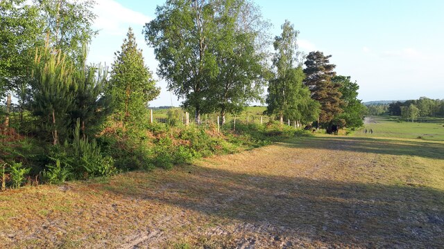
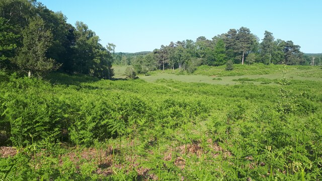
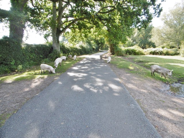
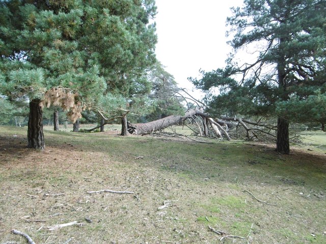
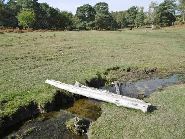
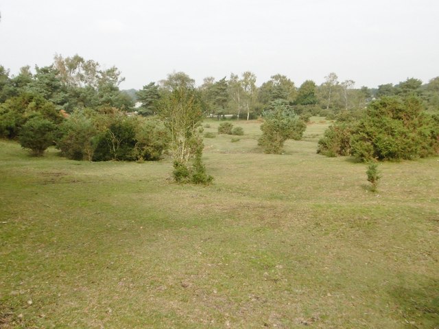
The woodland is characterized by its dense collection of trees, primarily consisting of oak, ash, and beech. These trees, which have matured over several decades, create a serene and tranquil atmosphere, making Middle Copse a popular destination for nature lovers and outdoor enthusiasts.

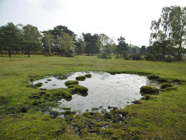
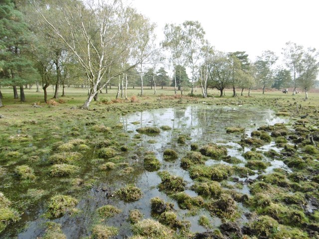
The forest floor is a carpet of lush green grass, adorned with wildflowers during the spring and summer months. Bluebells, primroses, and wood anemones are among the vibrant flora that add to the beauty of the woodland. The diverse ecosystem supports a range of wildlife, including deer, foxes, badgers, and a variety of bird species.

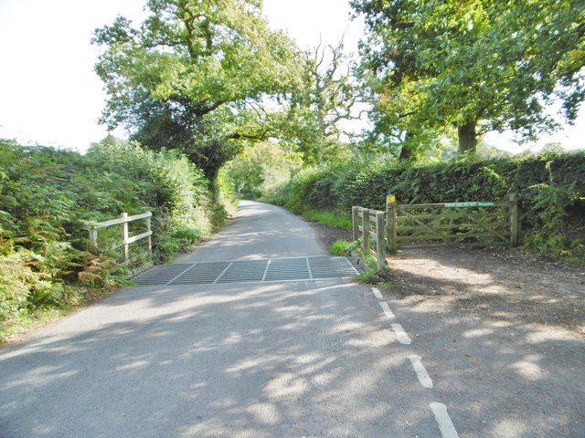
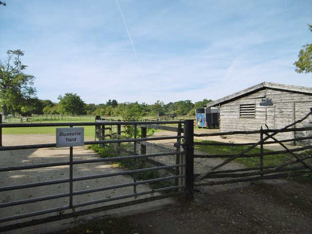
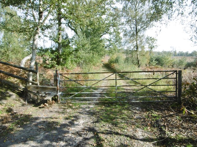
Middle Copse offers a network of well-maintained footpaths and trails, allowing visitors to explore the woodland at their own pace. These paths meander through the trees, providing opportunities for leisurely walks, jogging, or cycling. The peaceful ambiance and the abundance of natural beauty make it an ideal spot for picnics and family outings.

The woodland also holds historical significance, as it was once part of the royal hunting grounds and is home to remnants of ancient settlements. Archeological finds, such as pottery fragments and burial mounds, have been discovered within the woodland, providing insights into the area's rich cultural heritage.

Overall, Middle Copse in Hampshire is a captivating wood that offers a harmonious blend of nature, wildlife, and history, making it a cherished destination for both locals and tourists alike.

If you have any feedback on the listing, please let us know in the comments section below.

Middle Copse Images

Images are sourced within 2km of 50.943964/-1.5585773 or Grid Reference SU3116. Thanks to Geograph Open Source API. All images are credited.

Trees near Blackhill with, Foxbury heathland restoration beyond
View across Half Moon Common
Grassy path across Half Moon Common
Sunlight and frost on Half Moon Common
Summer evening at Blackhill Looking along the fence of the National Trust's Foxbury heathland restoration project.
Summer evening at Blackhill
Looking along the fence of the National Trust's Foxbury heathland restoration project.
Bracken-filled valley adjacent to Half Moon Common Former boundaries have been removed, making this area continuous with the more open and grassy Half Moon Common.
Bracken-filled valley adjacent to Half Moon Common
Former boundaries have been removed, making this area continuous with the more open and grassy Half Moon Common.
Newbridge, cattle grid At the south-eastern boundary of Cadnam Common.
Newbridge, cattle grid
At the south-eastern boundary of Cadnam Common.
Cadnam Common, National Trust marker Cadnam Common is an "adjacent common", sharing geographical and ecological features with the New Forest, but not crown land; this common is owned by the National Trust. <span class="nowrap"><a title="http://www.nationaltrust.org.uk/new-forest-northern-commons/" rel="nofollow ugc noopener" href="http://www.nationaltrust.org.uk/new-forest-northern-commons/">Link</a><img style="margin-left:2px;" alt="External link" title="External link - shift click to open in new window" src="https://s1.geograph.org.uk/img/external.png" width="10" height="10"/></span>
Cadnam Common, National Trust marker
Cadnam Common is an "adjacent common", sharing geographical and ecological features with the New Forest, but not crown land; this common is owned by the National Trust. LinkExternal link
Cadnam Common, pannage pigs A herd of eleven pigs, doing what they should do in the pannage season - forage for acorns and beech mast, which can be poisonous to other livestock. <span class="nowrap"><a title="http://www.thenewforest.co.uk/discover/pigs.aspx#" rel="nofollow ugc noopener" href="http://www.thenewforest.co.uk/discover/pigs.aspx#">Link</a><img style="margin-left:2px;" alt="External link" title="External link - shift click to open in new window" src="https://s1.geograph.org.uk/img/external.png" width="10" height="10"/></span>
Cadnam Common, pannage pigs
A herd of eleven pigs, doing what they should do in the pannage season - forage for acorns and beech mast, which can be poisonous to other livestock. LinkExternal link
Cadnam, Busketts Yard Stables on Cadnam Lane.
Cadnam, Busketts Yard
Stables on Cadnam Lane.
Half Moon Common, fallen tree
Half Moon Common, pond
Half Moon Common, footbridge An informal bridge over a ditch, comprising four birch trunks.
Half Moon Common, footbridge
An informal bridge over a ditch, comprising four birch trunks.
Half Moon Common, gate & stile At the eastern boundary of the common, on the path and forestry road to Home Farm and A36.
Half Moon Common, gate & stile
At the eastern boundary of the common, on the path and forestry road to Home Farm and A36.
Half Moon Common An "adjacent common" - sharing similar characteristics with the nearby New Forest, but not Crown land; owned by the National Trust. Land at this end of the common is undulating grassland, with patches of scrub and wet gullies.
Half Moon Common
An "adjacent common" - sharing similar characteristics with the nearby New Forest, but not Crown land; owned by the National Trust. Land at this end of the common is undulating grassland, with patches of scrub and wet gullies.
Half Moon Common, pond
Half Moon Common, gates Gates at the entrance to the National Trust's Foxbury land. The former plantation is being cleared and restored to its original heathland condition. <span class="nowrap"><a title="http://www.nationaltrust.org.uk/article-1355782710954/" rel="nofollow ugc noopener" href="http://www.nationaltrust.org.uk/article-1355782710954/">Link</a><img style="margin-left:2px;" alt="External link" title="External link - shift click to open in new window" src="https://s1.geograph.org.uk/img/external.png" width="10" height="10"/></span>
Half Moon Common, gates
Gates at the entrance to the National Trust's Foxbury land. The former plantation is being cleared and restored to its original heathland condition. LinkExternal link
Half Moon Common, boundary Left, behind the ditch, former Foxbury Plantation, being restored to heathland by the National Trust; right, Half Moon Common, also National Trust land, but with public access.
Half Moon Common, boundary
Left, behind the ditch, former Foxbury Plantation, being restored to heathland by the National Trust; right, Half Moon Common, also National Trust land, but with public access.
Show me another place!

Middle Copse is located at Grid Ref: SU3116 (Lat: 50.943964, Lng: -1.5585773)

Administrative County: Hampshire

District: New Forest

Police Authority: Hampshire

What 3 Words

///lunching.emerald.places. Near Cadnam, Hampshire

Related Wikis

Paultons Park

Paultons Park is an amusement park located in the New Forest National Park, near the village of Ower, in Hampshire, England, with over 70 rides and attractions...

Storm Chaser (Paultons Park)

Storm Chaser is a steel spinning roller coaster located at Paultons Park in Hampshire, England. The coaster debuted alongside the new £12 million Tornado...

Copythorne Common

Copythorne Common is a 17-hectare (42-acre) nature reserve west of Southampton in Hampshire. It is managed by the Hampshire and Isle of Wight Wildlife...

Ower

Ower is a hamlet in the New Forest district of Hampshire, England. Its nearest towns are Totton – approximately 3 miles (4.8 km) to the southeast, and...

Copythorne

Copythorne is a village and civil parish in Hampshire, England, within the boundaries of the New Forest National Park. == Overview == Copythorne is in...

Winsor, Hampshire

Winsor is a village in the civil parish of Copythorne, in Hampshire, England. It is situated within the boundaries of the New Forest National Park. Surrounding...

Tatchbury Mount Hospital

Tatchbury Mount Hospital is a health facility to the north of Totton, Hampshire, England. It is owned and managed by Southern Health NHS Foundation Trust...

Bartley, Hampshire

Bartley is a village in Hampshire, England, within the boundaries of the New Forest National Park, seven miles (11 km) west of Southampton. == Overview... ==

Nearby Amenities

Located within 500m of 50.943964,-1.5585773
Power: tower
Source: Bing
Lat/Long: 50.9430971/-1.5558635
Power: tower
Source: Bing
Lat/Long: 50.9467674/-1.5587957
Power: tower
Source: Bing
Lat/Long: 50.9450102/-1.5582668
Access: no
Barrier: block
Lat/Long: 50.9471001/-1.5553078
Velociraptor
Attraction: amusement_ride
Lat/Long: 50.9482091/-1.556463
Boulder Dash
Attraction: amusement_ride
Lat/Long: 50.9480688/-1.5560983
Raging River Ride
Attraction: amusement_ride
Lat/Long: 50.9477697/-1.5551421
Go-Karts
Attraction: amusement_ride
Lat/Long: 50.9480097/-1.5570853
Access: no
Barrier: block
Lat/Long: 50.9469328/-1.5580534
Trampolines
Leisure: trampoline_park
Lat/Long: 50.9476819/-1.5569175
Bouncer
Leisure: trampoline_park
Lat/Long: 50.9476131/-1.5568155
Leisure: picnic_table
Lat/Long: 50.9477825/-1.5558955
Leisure: picnic_table
Lat/Long: 50.9477571/-1.5557507
Man Made: water_well
Lat/Long: 50.940704/-1.5623398
Noexit: yes
Lat/Long: 50.9468324/-1.5572235
Noexit: yes
Lat/Long: 50.9475264/-1.5548755
The data included in this document is from www.openstreetmap.org. The data is made available under ODbL.

Have you been to Middle Copse?

Leave your review of Middle Copse below (or comments, questions and feedback).