Hugset Wood
Wood, Forest in Yorkshire
England
Hugset Wood
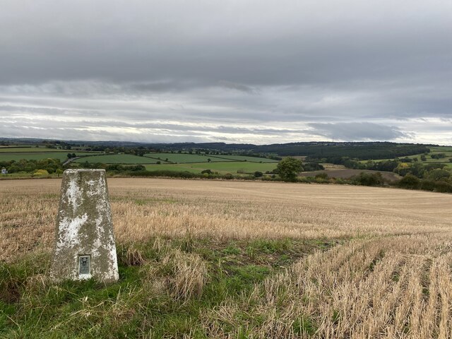
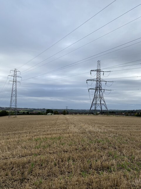
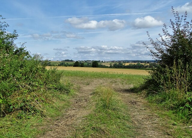
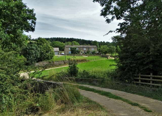
Hugset Wood is a picturesque forest located in the county of Yorkshire, England. Covering an area of approximately 300 acres, it is nestled within the stunning landscape of the Yorkshire Dales National Park. The wood is named after the nearby village of Hugset, which is renowned for its charming rural setting.
The woodland is predominantly made up of native tree species, including oak, beech, birch, and ash. These trees create a dense canopy that provides shade and shelter, making Hugset Wood a haven for a diverse range of wildlife. Visitors can expect to see a variety of bird species, such as woodpeckers, owls, and songbirds, as well as small mammals like squirrels and rabbits.
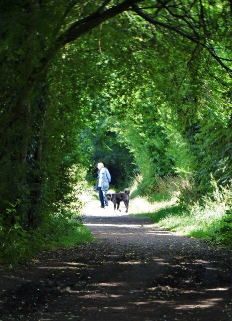
There are several walking trails that crisscross the wood, allowing visitors to explore its natural beauty at their leisure. These paths wind through ancient trees, across babbling streams, and up gentle hills, offering breathtaking views of the surrounding countryside.
Hugset Wood is also home to a rich and vibrant ecosystem of plants and flowers. In the spring, the forest floor is carpeted with bluebells, creating a stunning display of color and fragrance. During the summer months, wildflowers such as primroses and foxgloves bloom, attracting bees and butterflies.
The wood is a popular destination for nature lovers, photographers, and families looking to enjoy a peaceful day out in the countryside. With its tranquil atmosphere and stunning scenery, Hugset Wood truly captures the essence of Yorkshire's natural beauty.
If you have any feedback on the listing, please let us know in the comments section below.
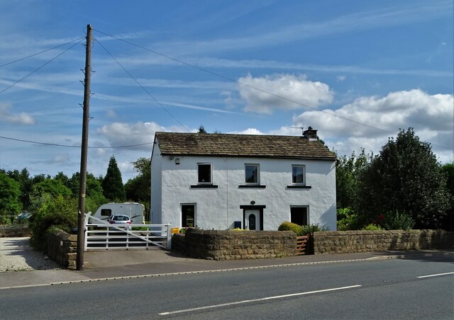
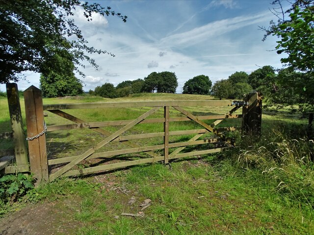
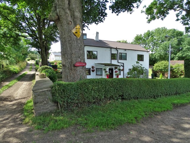
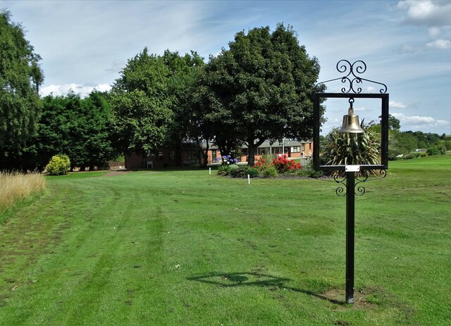
Hugset Wood Images
Images are sourced within 2km of 53.556793/-1.5441125 or Grid Reference SE3006. Thanks to Geograph Open Source API. All images are credited.

Hugset Wood is located at Grid Ref: SE3006 (Lat: 53.556793, Lng: -1.5441125)
Division: West Riding
Unitary Authority: Barnsley
Police Authority: South Yorkshire
What 3 Words
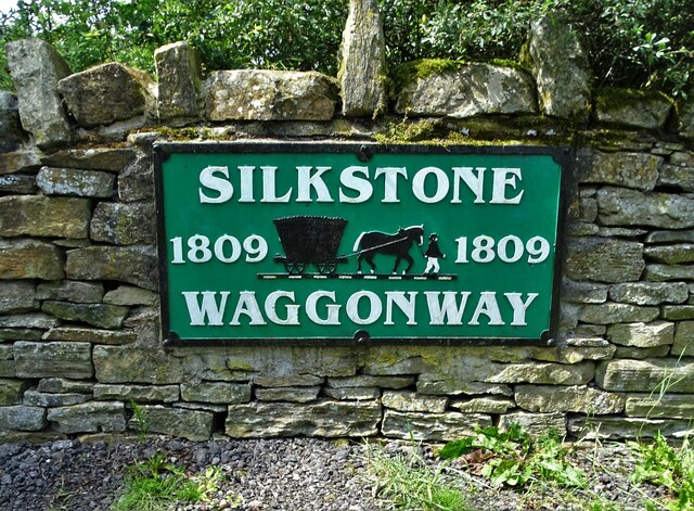
///lawful.deals.polar. Near Silkstone, South Yorkshire
Nearby Locations
Related Wikis

Higham, South Yorkshire
Higham is a village in the metropolitan borough of Barnsley in South Yorkshire, England. The village falls within the Dodworth ward of the Barnsley MBC...
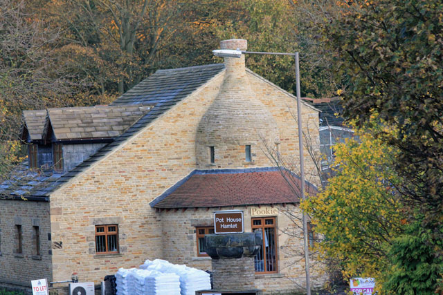
Silkstone glassworks
Silkstone glassworks is situated at Pot House Hamlet, a historic former industrial site in Silkstone, South Yorkshire, England. A glass works was established...
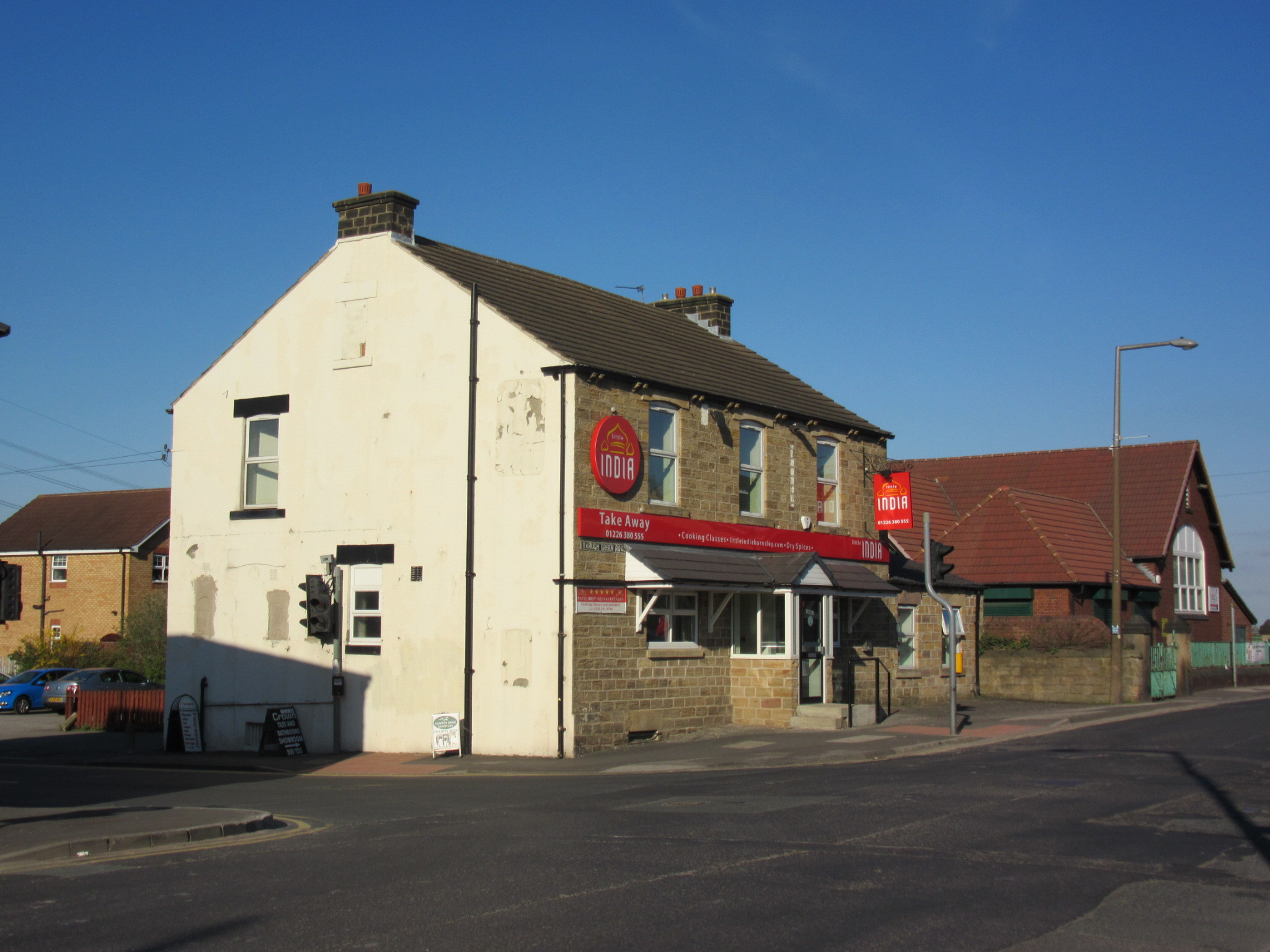
Barugh Green
Barugh Green (locally pronounced as Bark Green or occasionally mis-pronounced as Bart Green) is a semi-rural commuter village in the metropolitan borough...

Church of All Saints, Silkstone
The Church of All Saints is the parish church in the village of Silkstone in South Yorkshire, England. It is a Church of England church in the Diocese...
Nearby Amenities
Located within 500m of 53.556793,-1.5441125Have you been to Hugset Wood?
Leave your review of Hugset Wood below (or comments, questions and feedback).