Higham Bottom

Valley in Yorkshire

England

Higham Bottom

"The Villa" at Barnby Basin Once the western terminus of the Aire and Calder Navigation Canal. The actual basin was just behind this house. The canal facilitated the movement of coal. Stanhope and Higham collieries were close by.
"The Villa" at Barnby Basin Credit: Neil Theasby

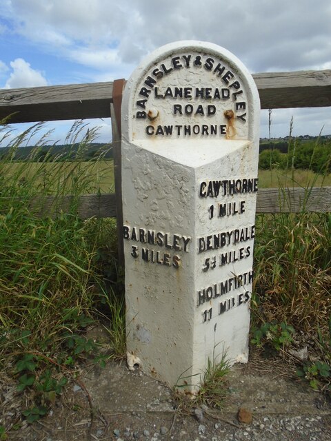
Higham Bottom is a picturesque valley located in the region of Yorkshire, England. Nestled within the stunning Yorkshire Dales National Park, it is known for its breathtaking natural beauty and tranquil atmosphere. The valley is situated near the village of Higham, which is about 10 miles west of the market town of Skipton.

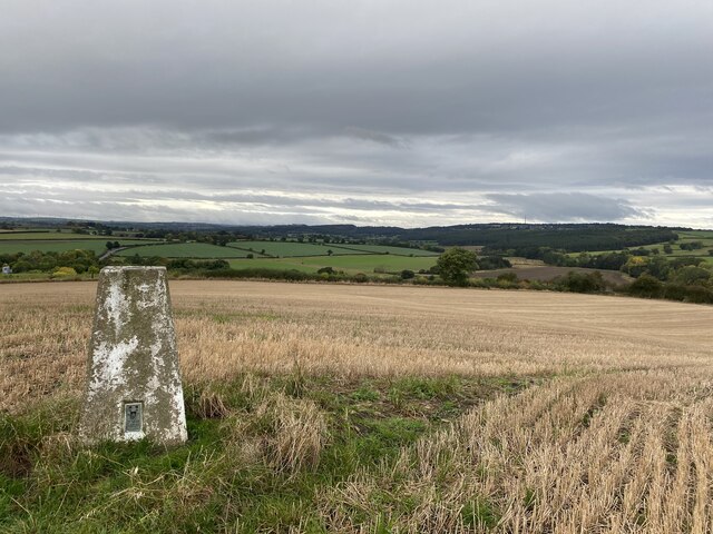
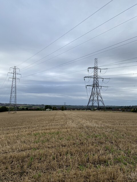
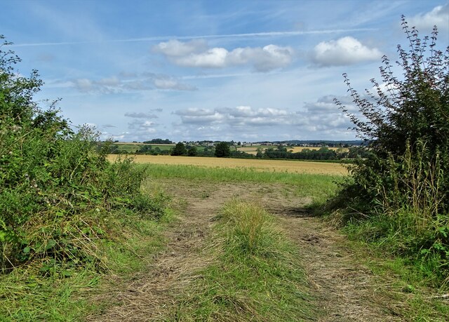
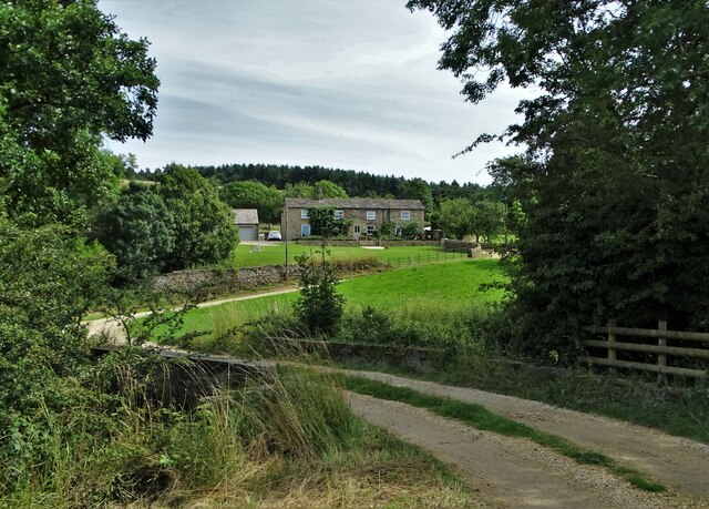
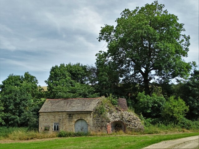
Higham Bottom is characterized by its rolling hills, lush green meadows, and meandering streams that flow through the valley. The landscape is dotted with charming stone cottages and traditional farmhouses, adding to the area's rustic appeal. The valley is surrounded by towering peaks, providing a dramatic backdrop and offering panoramic views of the countryside.

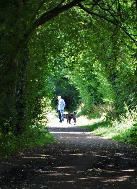
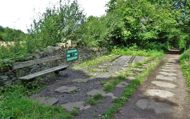
The area is a haven for outdoor enthusiasts, with numerous walking and hiking trails crisscrossing the valley. Visitors can explore the surrounding hills and valleys, taking in the breathtaking scenery and observing the diverse wildlife that inhabits the area. Higham Bottom is particularly popular among birdwatchers, as it provides an ideal habitat for a variety of bird species.

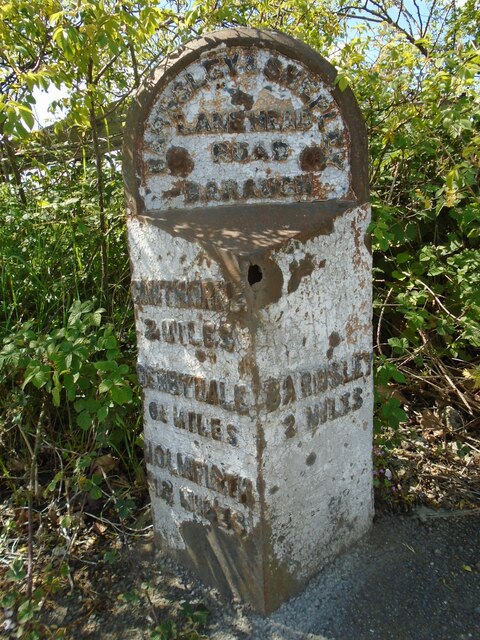
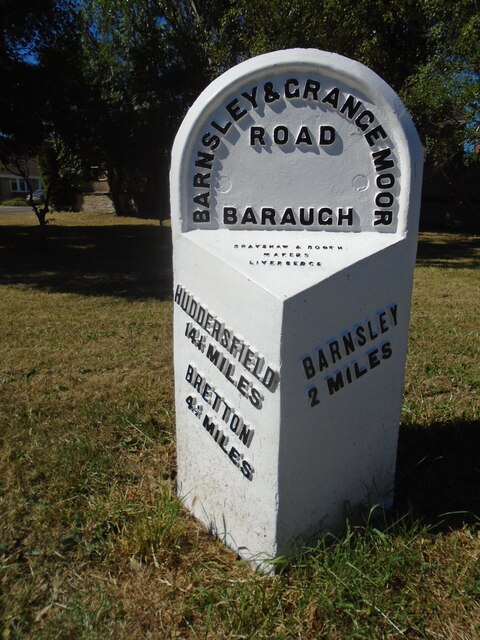
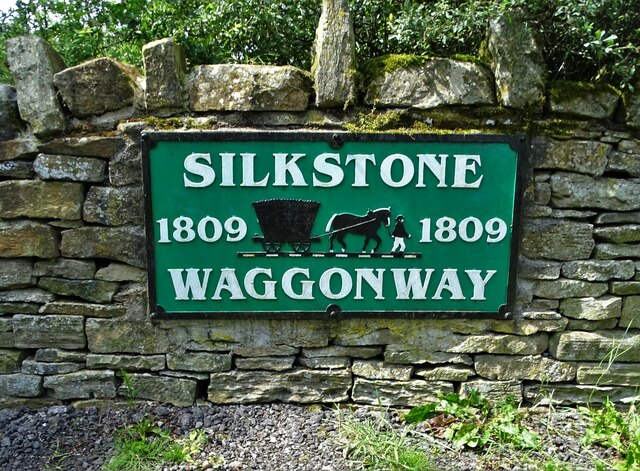
In addition to its natural beauty, Higham Bottom also boasts a rich historical heritage. The valley is home to several ancient sites, including prehistoric burial mounds and remnants of Roman settlements. These archaeological remains offer a glimpse into the area's past and provide a fascinating insight into its history.

Overall, Higham Bottom is a hidden gem in Yorkshire, offering visitors the opportunity to escape the hustle and bustle of city life and immerse themselves in the tranquility of nature. Whether it's exploring the picturesque landscape or delving into its rich history, Higham Bottom is a destination that truly captivates all who visit.

If you have any feedback on the listing, please let us know in the comments section below.

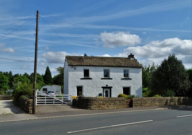
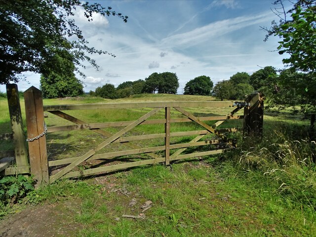
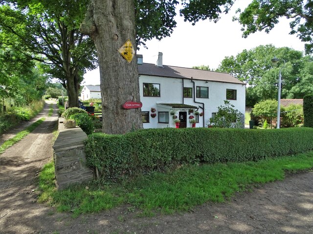
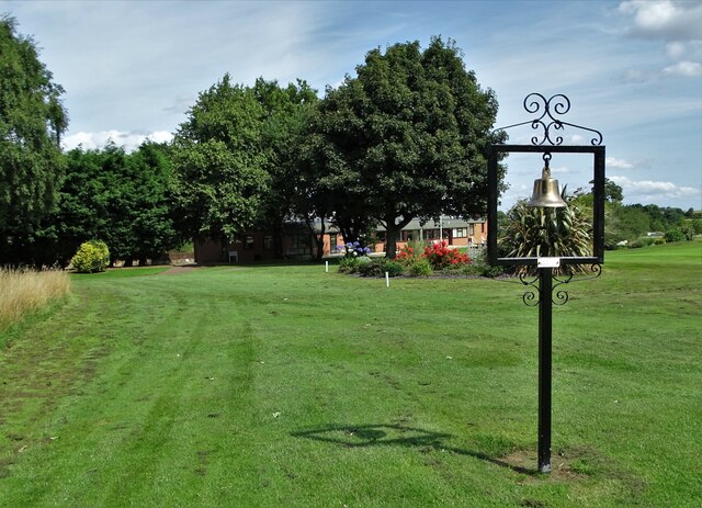
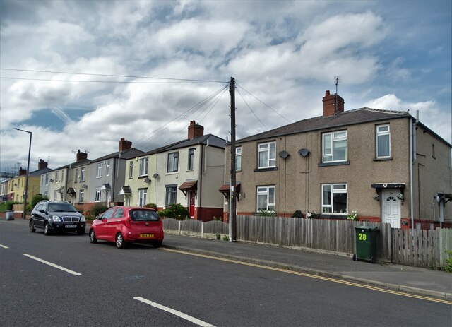
Higham Bottom Images

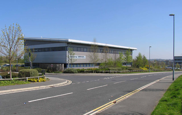
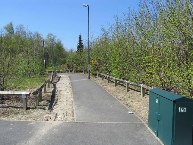
Images are sourced within 2km of 53.558165/-1.5362026 or Grid Reference SE3006. Thanks to Geograph Open Source API. All images are credited.

"The Villa" at Barnby Basin Once the western terminus of the Aire and Calder Navigation Canal. The actual basin was just behind this house. The canal facilitated the movement of coal. Stanhope and Higham collieries were close by.
"The Villa" at Barnby Basin
Once the western terminus of the Aire and Calder Navigation Canal. The actual basin was just behind this house. The canal facilitated the movement of coal. Stanhope and Higham collieries were close by.
On the edge of Hugset Wood
Oak Cottage at Higham Bottom
At Silkstone Golf Club With the club house half-hidden in the trees. The bell is dedicated to the memory of a former member now deceased.
At Silkstone Golf Club
With the club house half-hidden in the trees. The bell is dedicated to the memory of a former member now deceased.
Barugh Trig Point Flush Bracket S4237
Field views from Barugh Trig Point
Old milestone The A635 leaves the Huddersfield route and leads westwards towards Shepley Lane Head.  This is another of the West Riding County Council 1893/94 milestones.  It is on the south side of Barugh Green Road, pronounced Bark.  The spelling on the stone is BARAUGH.
It needs not only repainting, but a minor repair to the corner as well.

Milestone Society National ID: YS_BNHF02
Old milestone
The A635 leaves the Huddersfield route and leads westwards towards Shepley Lane Head. This is another of the West Riding County Council 1893/94 milestones. It is on the south side of Barugh Green Road, pronounced Bark. The spelling on the stone is BARAUGH. It needs not only repainting, but a minor repair to the corner as well. Milestone Society National ID: YS_BNHF02
Old milestone One of the 615 West Riding County Council milestones set up in 1893/94.  It is on the A637 Claycliffe Road and has been painted recently although it is not known by whom.   The foundry name has been highlighted.  Note the old spelling of Barugh. It is Grade II listed 1151794.
Old milestone
One of the 615 West Riding County Council milestones set up in 1893/94. It is on the A637 Claycliffe Road and has been painted recently although it is not known by whom. The foundry name has been highlighted. Note the old spelling of Barugh. It is Grade II listed 1151794.
Houses on Barnsley Road, Dodworth
View to Kexbrough over South Yorkshire countryside From  the lane that leads from Barnby Green to Barnby Furnace
View to Kexbrough over South Yorkshire countryside
From the lane that leads from Barnby Green to Barnby Furnace
Dog walker on the Silkstone Waggonway trail Constructed in 1809, the waggonway was created to take tubs of coal from the workings at Silkstone to Barnby Basin - the terminus of the Aire and Calder Canal - a mile and a half to the north. The tubs were pulled on rails by horses.
Dog walker on the Silkstone Waggonway trail
Constructed in 1809, the waggonway was created to take tubs of coal from the workings at Silkstone to Barnby Basin - the terminus of the Aire and Calder Canal - a mile and a half to the north. The tubs were pulled on rails by horses.
Low Mill Farm
Low Mill Farm
Dilapidated building at Low Mill Farm There appears to be some sort of kiln chimney to the right of this structure.
Dilapidated building at Low Mill Farm
There appears to be some sort of kiln chimney to the right of this structure.
Silkstone Waggonway sign See the Wikipedia entry for this historic coal tramway: <span class="nowrap"><a title="https://en.wikipedia.org/wiki/Silkstone_Waggonway" rel="nofollow ugc noopener" href="https://en.wikipedia.org/wiki/Silkstone_Waggonway">Link</a><img style="margin-left:2px;" alt="External link" title="External link - shift click to open in new window" src="https://s1.geograph.org.uk/img/external.png" width="10" height="10"/></span>
Silkstone Waggonway sign
See the Wikipedia entry for this historic coal tramway: LinkExternal link
Evidence of Silkstone Waggonway For fifty to sixty years in the mid-nineteenth century the waggonway facilitated the transport of coal from the Silkstone area to the canal basin at Barnby -  two miles north of the village. The coal tubs were pulled along the rails by horses.
Evidence of Silkstone Waggonway
For fifty to sixty years in the mid-nineteenth century the waggonway facilitated the transport of coal from the Silkstone area to the canal basin at Barnby - two miles north of the village. The coal tubs were pulled along the rails by horses.
Old milestone The A635 goes down and under the M1.   It then climbs from Cawthorpe Basin towards the village.   The third West Riding County Council milestone from Barnsley is on the north side of the road.  It was painted in 2015.  At some time in its history the backing stone had been painted so it was given a new coat of white masonry paint.   This milestone within Cawthorne Parish is Grade II listed 1151794.
Old milestone
The A635 goes down and under the M1. It then climbs from Cawthorpe Basin towards the village. The third West Riding County Council milestone from Barnsley is on the north side of the road. It was painted in 2015. At some time in its history the backing stone had been painted so it was given a new coat of white masonry paint. This milestone within Cawthorne Parish is Grade II listed 1151794.
Capitol Close
Capitol Close
Footpath to Higham Lane
Show me another place!

Higham Bottom is located at Grid Ref: SE3006 (Lat: 53.558165, Lng: -1.5362026)

Division: West Riding

Unitary Authority: Barnsley

Police Authority: South Yorkshire

What 3 Words

///reveal.cave.blunt. Near Dodworth, South Yorkshire

Nearby Locations

Hugset Wood Higham Bottom

Related Wikis

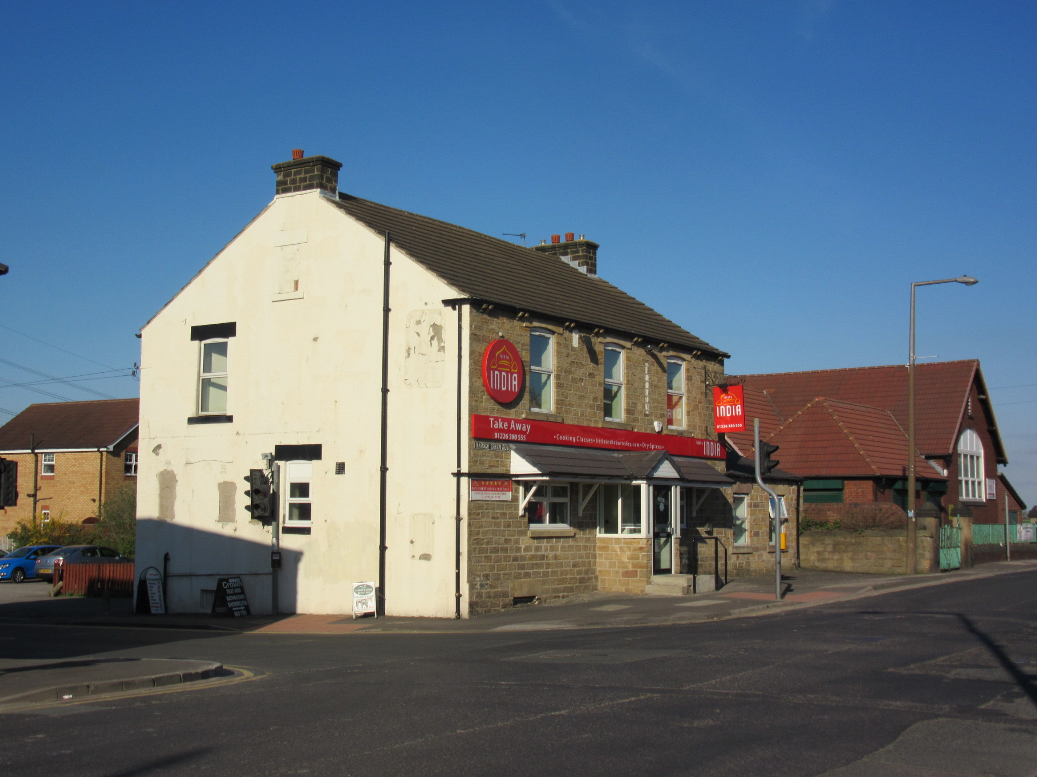
Higham, South Yorkshire

Higham is a village in the metropolitan borough of Barnsley in South Yorkshire, England. The village falls within the Dodworth ward of the Barnsley MBC...

Barugh Green

Barugh Green (locally pronounced as Bark Green or occasionally mis-pronounced as Bart Green) is a semi-rural commuter village in the metropolitan borough...
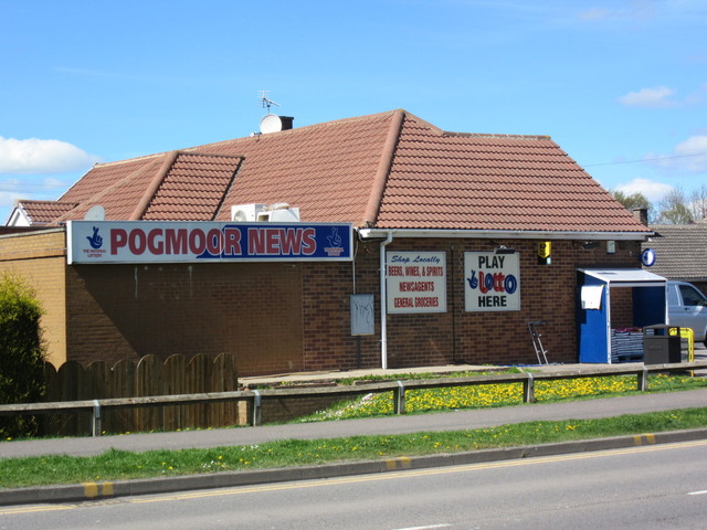
Pogmoor

Pogmoor is an area of Barnsley in South Yorkshire, England. It is located to the west of the town centre, just north of junction 37 of the M1 motorway...

Gawber

Gawber is an area of Barnsley in South Yorkshire, England. The area falls within the Darton West ward of the Barnsley MBC. There is a primary school,...

Nearby Amenities

Located within 500m of 53.558165,-1.5362026
Bus Stop
Higham Common Road/Lawrence Close
Bus: yes
Naptan AtcoCode: 370050085
Naptan Bearing: S
Naptan CommonName: Higham Common Road/Lawrence Close
Naptan Indicator: 50085
Naptan Landmark: Streetlight No 20
Naptan PlusbusZoneRef: ROTHCEN
Naptan Street: Higham Common Road
Naptan Verified: no
Public Transport: platform
Source: naptan_import
Lat/Long: 53.561696/-1.5323845
Bus Stop
Higham Common Road
Alt Name: Higham Common Road
Bus: yes
Naptan AltCommonName: Higham Common Road
Naptan AtcoCode: 370050086
Naptan Bearing: NW
Naptan CommonName: Higham Common Road
Naptan Indicator: 50086
Naptan Landmark: Streetlight No 29
Naptan PlusbusZoneRef: ROTHCEN
Naptan Street: Higham Common Road
Naptan Verified: no
Public Transport: platform
Source: naptan_import
Lat/Long: 53.5594274/-1.5314886
Bus Stop
Higham Common Road/The Chapel
Alt Name: Higham Common Road/The Chapel
Bus: yes
Naptan AltCommonName: Higham Common Road/The Chapel
Naptan AtcoCode: 370050087
Naptan Bearing: SE
Naptan CommonName: Higham Common Road/The Chapel
Naptan Indicator: 50087
Naptan Landmark: The Miners Arms
Naptan PlusbusZoneRef: ROTHCEN
Naptan Street: Higham Common Road
Naptan Verified: no
Public Transport: platform
Source: naptan_import
Lat/Long: 53.5588934/-1.5305736
Bus Stop
Lawrence Close/Witham Court
Bus: yes
Naptan AtcoCode: 370050088
Naptan Bearing: E
Naptan CommonName: Lawrence Close/Witham Court
Naptan Indicator: 50088
Naptan Landmark: Engineers Arms
Naptan PlusbusZoneRef: ROTHCEN
Naptan Street: Lawrence Close
Naptan Verified: no
Public Transport: platform
Source: naptan_import
Lat/Long: 53.5615334/-1.53219
Bus Stop
Higham Common Road/Pog Well Lane
Alt Name: Higham Common Road/Pog Well Lane
Bus: yes
Naptan AltCommonName: Higham Common Road/Pog Well Lane
Naptan AtcoCode: 370055211
Naptan Bearing: NW
Naptan CommonName: Higham Common Road/Pog Well Lane
Naptan Indicator: 55211
Naptan Landmark: Engineers Arms
Naptan PlusbusZoneRef: ROTHCEN
Naptan Street: Higham Common Road
Naptan Verified: no
Public Transport: platform
Source: naptan_import
Lat/Long: 53.560817/-1.5328622
Power: pole
Lat/Long: 53.5609555/-1.5302962
Power: pole
Lat/Long: 53.5600861/-1.5323899
Power: pole
Lat/Long: 53.5586952/-1.5325363
Power: pole
Lat/Long: 53.5577051/-1.5329916
Power: pole
Lat/Long: 53.557239/-1.5328859
Power: pole
Lat/Long: 53.5539911/-1.5337012
Barrier: stile
Lat/Long: 53.560448/-1.5395092
Barrier: stile
Lat/Long: 53.5564155/-1.5336795
Bench
Lat/Long: 53.5557677/-1.5327909
Defibrillator
Access: yes
Check Date: 2023-03-09
Defibrillator Location: On outside wall.
Emergency: defibrillator
Indoor: no
Opening Hours: 24/7
Lat/Long: 53.5611565/-1.5336356
Post Box
Collection Times: Mo-Fr 09:00; Sa 07:00
Post Box Type: lamp
Ref: S75 109D
Royal Cypher: EIIR
Royal Cypher Wikidata: Q33102113
Lat/Long: 53.5588243/-1.5305106
The data included in this document is from www.openstreetmap.org. The data is made available under ODbL.

Have you been to Higham Bottom?

Leave your review of Higham Bottom below (or comments, questions and feedback).