Walls Copse
Wood, Forest in Berkshire
England
Walls Copse
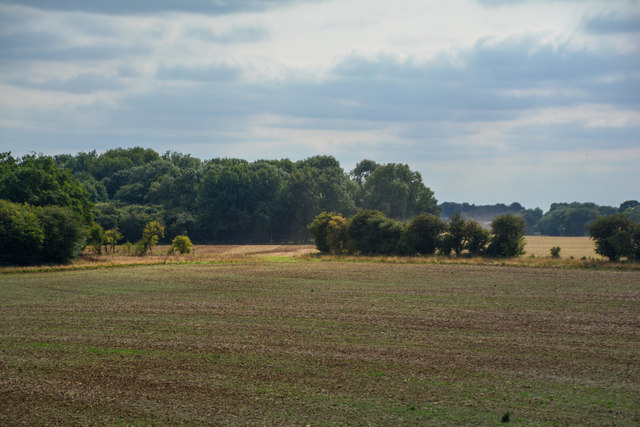
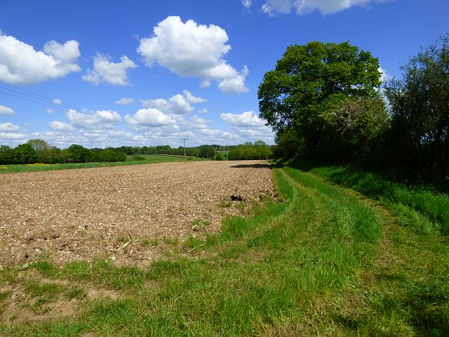
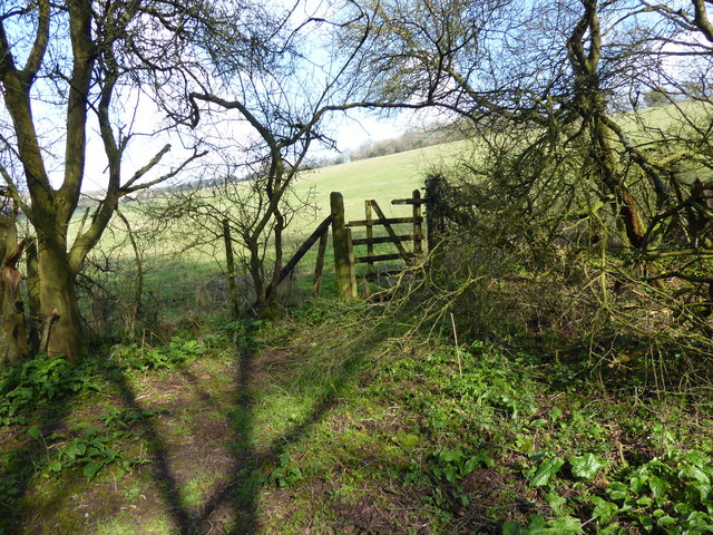
Walls Copse is a picturesque woodland located in the county of Berkshire, England. Situated near the village of Walls, the copse covers an area of approximately 20 acres and is known for its dense and diverse range of trees.
The woodland consists mainly of deciduous trees, including oak, beech, and ash, which create a vibrant display of colors during the autumn months. The thick canopy formed by these trees provides a haven for various bird species such as woodpeckers, thrushes, and owls, making it a popular spot for birdwatching enthusiasts.
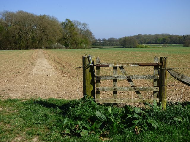
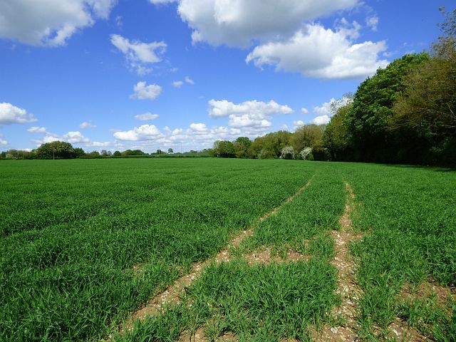
Walls Copse is traversed by several well-maintained footpaths, allowing visitors to explore the area and appreciate its natural beauty. The paths wind through the copse, leading visitors past ancient trees, vibrant wildflowers, and a carpet of ferns and mosses that adorn the forest floor.
Within the copse, there is also a small stream that adds to the tranquility of the surroundings. The sound of running water and the occasional glimpse of small creatures such as frogs and dragonflies further enhance the peaceful ambiance of the woodland.
Throughout the year, Walls Copse offers a serene and peaceful retreat for nature lovers, hikers, and families seeking an escape from the hustle and bustle of everyday life. With its breathtaking scenery and diverse wildlife, it is a place where visitors can reconnect with nature and enjoy the beauty of the Berkshire countryside.
If you have any feedback on the listing, please let us know in the comments section below.
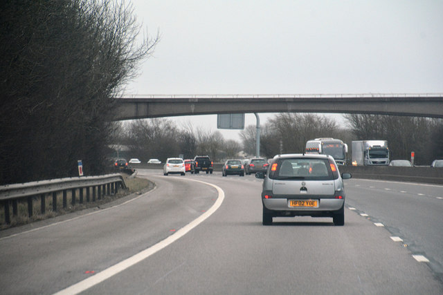
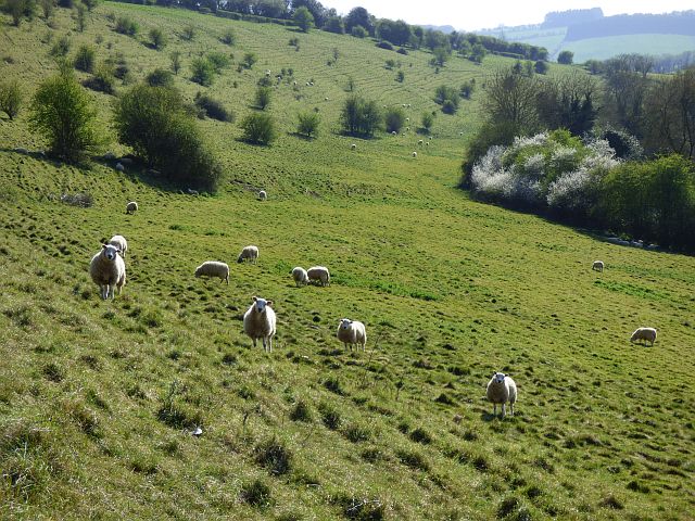
Walls Copse Images
Images are sourced within 2km of 51.47768/-1.5651401 or Grid Reference SU3075. Thanks to Geograph Open Source API. All images are credited.
Walls Copse is located at Grid Ref: SU3075 (Lat: 51.47768, Lng: -1.5651401)
Unitary Authority: West Berkshire
Police Authority: Thames Valley
What 3 Words
///tell.cakewalk.argued. Near Aldbourne, Wiltshire
Nearby Locations
Related Wikis

Membury Camp
Membury Camp, or Membury Fort, is the site of an Iron Age hill fort located on the borders of Wiltshire and Berkshire, (the county line divides the site...
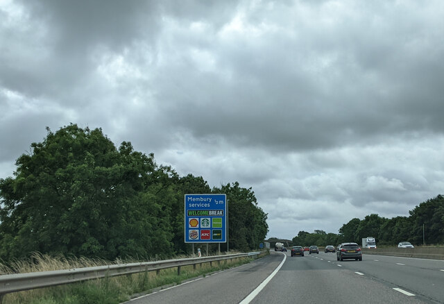
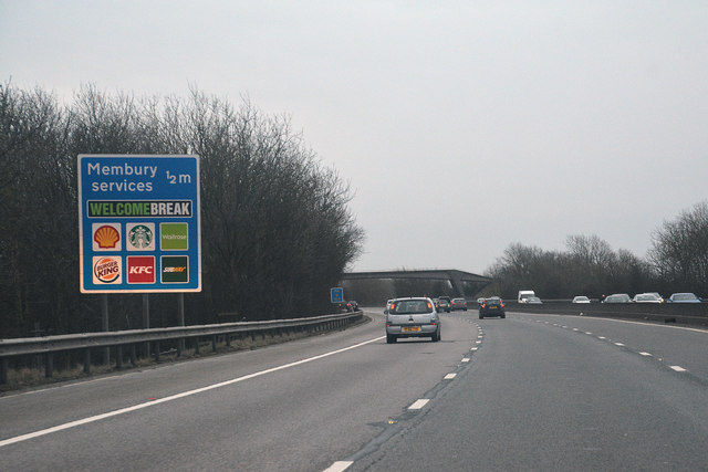
Membury services
Membury services is a motorway service station on the M4 motorway, located on the original site of RAF Membury in the civil parish of Lambourn in the English...
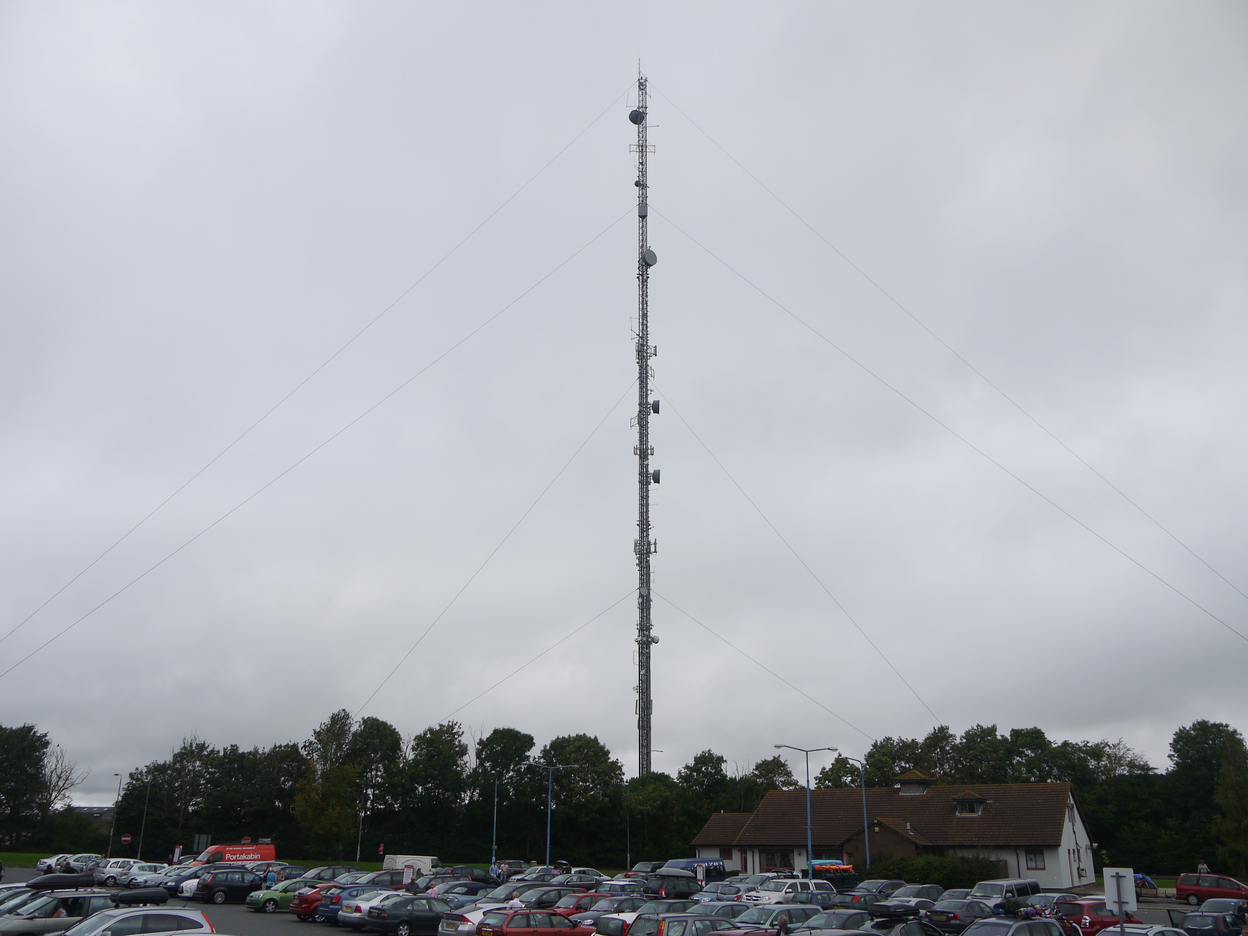
Membury transmitting station
The Membury transmitting station is a broadcasting and telecommunications facility, situated adjacent to the M4 motorway at the Membury services in the...

Lambourn Woodlands
Lambourn Woodlands is a hamlet in the English county of Berkshire. The village is situated in the civil parish of Lambourn, and is 2 miles (3.2 km) to...
Have you been to Walls Copse?
Leave your review of Walls Copse below (or comments, questions and feedback).