Wilkinson's Wood

Wood, Forest in Warwickshire North Warwickshire

England

Wilkinson's Wood

Into the woods by Red Hill Farm The footpath, which is part of the Coventry Way, enters the wood through this arch of foliage. There is a small bench to the right, offering a view across a meadow. The wood appears to be of recent origin; it is not marked on OS maps as late as the 1950s.
Into the woods by Red Hill Farm Credit: A J Paxton

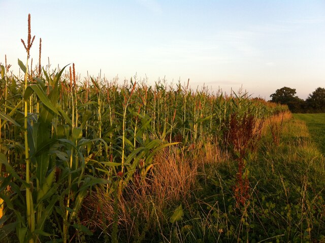
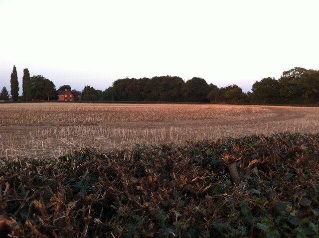
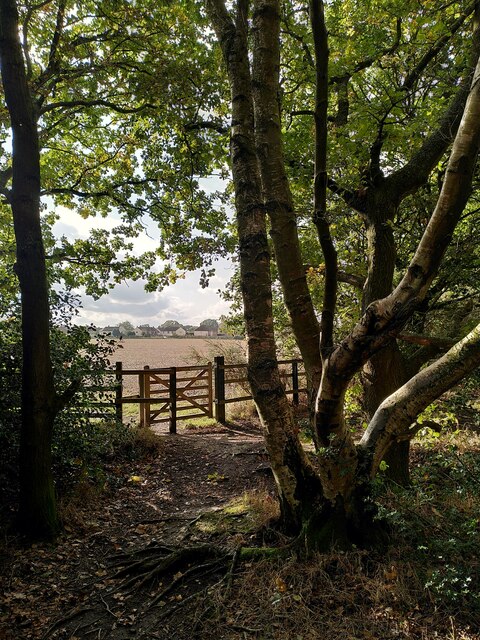
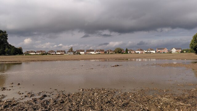
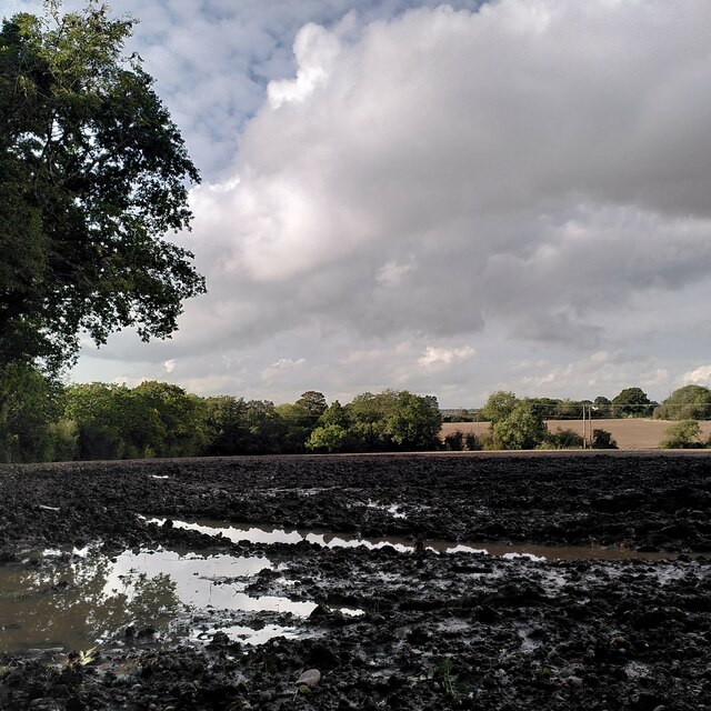
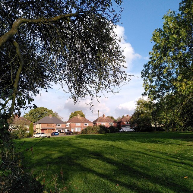
Wilkinson's Wood is a picturesque forest located in Warwickshire, England. Spanning over a vast area, the wood is known for its lush greenery, diverse wildlife, and tranquil atmosphere. The forest is situated in close proximity to the town of Warwick, making it easily accessible for both locals and tourists.

The wood is predominantly composed of broadleaf trees, including oak, beech, and ash, which provide a dense canopy that filters sunlight and creates a cool, shaded environment. This makes Wilkinson's Wood an ideal place for nature enthusiasts and hikers to explore and enjoy the natural beauty that the forest has to offer.

The forest is home to a wide range of wildlife species, including deer, foxes, badgers, and numerous bird species. Birdwatchers often flock to Wilkinson's Wood to catch a glimpse of rare and migratory birds that inhabit the area.

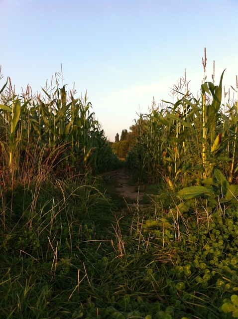
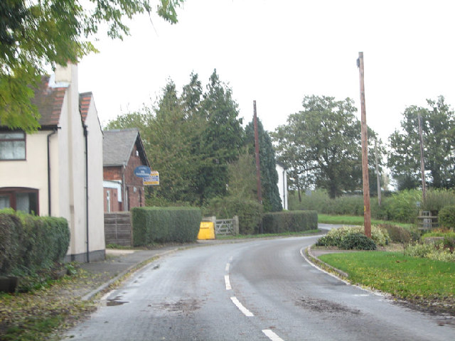
There are several well-marked trails and footpaths throughout the wood, making it easy for visitors to navigate and explore. These paths meander through the forest, offering breathtaking views of the surrounding landscape.

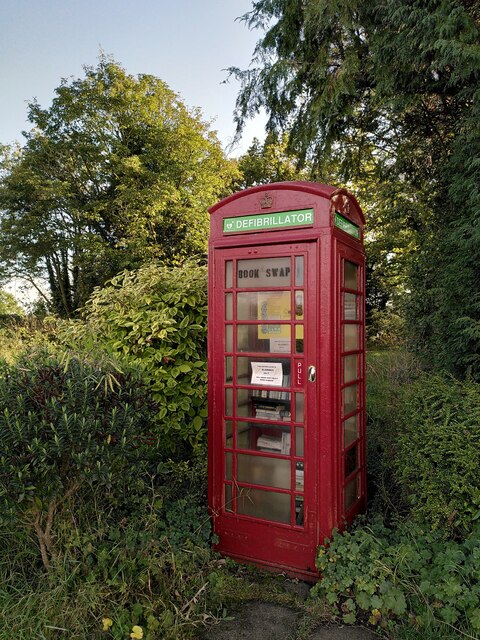
Wilkinson's Wood also has designated picnic areas and benches, allowing visitors to relax and enjoy a meal amidst the serene surroundings. Additionally, the forest is equipped with basic amenities such as toilets and parking facilities, ensuring a comfortable experience for all visitors.

Overall, Wilkinson's Wood in Warwickshire is a haven for nature lovers, providing a serene and idyllic escape from the hustle and bustle of daily life.

If you have any feedback on the listing, please let us know in the comments section below.

Wilkinson's Wood Images

Images are sourced within 2km of 52.488909/-1.5552564 or Grid Reference SP3087. Thanks to Geograph Open Source API. All images are credited.

Into the woods by Red Hill Farm The footpath, which is part of the Coventry Way, enters the wood through this arch of foliage. There is a small bench to the right, offering a view across a meadow. The wood appears to be of recent origin; it is not marked on OS maps as late as the 1950s.
Into the woods by Red Hill Farm
The footpath, which is part of the Coventry Way, enters the wood through this arch of foliage. There is a small bench to the right, offering a view across a meadow. The wood appears to be of recent origin; it is not marked on OS maps as late as the 1950s.
Border of a field of maize, Corley Ash The photo is taken from a footpath, part of the Coventry Way, that runs from Coventry Road at Red Hill to Square Lane by the fishpond. The path continues through the maize.
Border of a field of maize, Corley Ash
The photo is taken from a footpath, part of the Coventry Way, that runs from Coventry Road at Red Hill to Square Lane by the fishpond. The path continues through the maize.
Path through the maize, Corley Ash Part of the Coventry Way, this is a well-beaten path through a crop of maize.
Path through the maize, Corley Ash
Part of the Coventry Way, this is a well-beaten path through a crop of maize.
Fishpond, Square Lane, Corley Ash This rectangular fishpond with a small island in the middle is surrounded by trees. The land is marked as private, but the pond is passed on one side by a public footpath which is part of the Coventry Way. The Breach Brook flows along the other side but not through the pond itself, which seems to be of recent date, as it is not marked on OS maps as late as the 1950s-60s.
Fishpond, Square Lane, Corley Ash
This rectangular fishpond with a small island in the middle is surrounded by trees. The land is marked as private, but the pond is passed on one side by a public footpath which is part of the Coventry Way. The Breach Brook flows along the other side but not through the pond itself, which seems to be of recent date, as it is not marked on OS maps as late as the 1950s-60s.
High House Farm seen from Astley Lane, Fillongley The farm is seen here at sunset across a field of stubble and a severely-trimmed hedge mostly of holly.
High House Farm seen from Astley Lane, Fillongley
The farm is seen here at sunset across a field of stubble and a severely-trimmed hedge mostly of holly.
St Michael's Church, New Arley The Arley Colliery Company began mining coal locally in 1905. In the 1920s it built a company village of six hundred houses, called New Arley, and, in 1928, a company church to serve it, the Church of England parish church of St Michael. The style could perhaps be called colliers' baroque. See the Victoria County History of Warwickshire, Vol. 6 pp8-12, which doesn't give the name of the architect <span class="nowrap"><a title="https://www.british-history.ac.uk/vch/warks/vol6/pp8-12" rel="nofollow ugc noopener" href="https://www.british-history.ac.uk/vch/warks/vol6/pp8-12">Link</a><img style="margin-left:2px;" alt="External link" title="External link - shift click to open in new window" src="https://s1.geograph.org.uk/img/external.png" width="10" height="10"/></span> .
St Michael's Church, New Arley
The Arley Colliery Company began mining coal locally in 1905. In the 1920s it built a company village of six hundred houses, called New Arley, and, in 1928, a company church to serve it, the Church of England parish church of St Michael. The style could perhaps be called colliers' baroque. See the Victoria County History of Warwickshire, Vol. 6 pp8-12, which doesn't give the name of the architect LinkExternal link .
New Arley seen from Gorsy Spinney From the birch trees of the spinney a footpath runs southwards to Wood End, following the edges of fields and passing the eastern tip of New Arley village.
New Arley seen from Gorsy Spinney
From the birch trees of the spinney a footpath runs southwards to Wood End, following the edges of fields and passing the eastern tip of New Arley village.
New Arley reflections The path from New Arley to Wood End runs along the edge of a large field, which was very wet after heavy autumn rain.
New Arley reflections
The path from New Arley to Wood End runs along the edge of a large field, which was very wet after heavy autumn rain.
Lost in a muddy field, Wood End Well, I knew where I was on the map, but had lost the footpath. North Warwickshire has some good walking country, but signposting is often poor. The path had crossed a ditch and a field boundary without warning.
Lost in a muddy field, Wood End
Well, I knew where I was on the map, but had lost the footpath. North Warwickshire has some good walking country, but signposting is often poor. The path had crossed a ditch and a field boundary without warning.
Field path, Wood End At last, a signpost, though the sign itself was broken and faded.
Field path, Wood End
At last, a signpost, though the sign itself was broken and faded.
E D Thompson, Wood End Lane A former village store awaits a new use - probably housing, like the converted chapel nearby.
E D Thompson, Wood End Lane
A former village store awaits a new use - probably housing, like the converted chapel nearby.
A crescent of semis, Sandy Lane, Fillongley It looks odd on the map and even odder when you visit: a suburban crescent of semi-detached houses, complete with green, built on a country lane, far from any town or its suburbs. The plain style of the semis suggests they were built as council housing. The western part of the green, to the left of this photo, has been enclosed to form some rather messy gardens. Fillongley is a parish of scattered settlements, typical of the 'ancient countryside' of Arden; Sandy Lane runs between the settlement grouped around Fillongley parish church and the hamlet of Wood End, to the east.
A crescent of semis, Sandy Lane, Fillongley
It looks odd on the map and even odder when you visit: a suburban crescent of semi-detached houses, complete with green, built on a country lane, far from any town or its suburbs. The plain style of the semis suggests they were built as council housing. The western part of the green, to the left of this photo, has been enclosed to form some rather messy gardens. Fillongley is a parish of scattered settlements, typical of the 'ancient countryside' of Arden; Sandy Lane runs between the settlement grouped around Fillongley parish church and the hamlet of Wood End, to the east.
Former telephone box, Sandy Lane, Fillongley Though still marked as a rural telephone box by the Ordnance Survey, it now houses a defibrillator and a book swap.
Former telephone box, Sandy Lane, Fillongley
Though still marked as a rural telephone box by the Ordnance Survey, it now houses a defibrillator and a book swap.
A Tuesday evening at the Jampot A grainy shot taken on the way home from work of the Jampot (Working Men's Club) on Spring Hill, New Arley.
A Tuesday evening at the Jampot
A grainy shot taken on the way home from work of the Jampot (Working Men's Club) on Spring Hill, New Arley.
Wood End Lane, many a slipped wheel between road and garden. Wood End Lane joins Arley with the rest of civilisation but becomes a death trap with the smallest sprinkling of ice.  3 years ago my Rover 216 went for a trip into the garden on the right...later joined by 2 other cars on the same day.  The council however do not deem this road important enough to grit?!
The building on the left has been for sale since I moved to Arley 5 years ago! Good Luck!
Wood End Lane, many a slipped wheel between road and garden.
Wood End Lane joins Arley with the rest of civilisation but becomes a death trap with the smallest sprinkling of ice. 3 years ago my Rover 216 went for a trip into the garden on the right...later joined by 2 other cars on the same day. The council however do not deem this road important enough to grit?! The building on the left has been for sale since I moved to Arley 5 years ago! Good Luck!
Glebe Farm and pheasants An early morning shot of Glebe Farm just off Park Lane, between Astley and Fillongley, with a couple of sprightly pheasants just in the photo top right.
Glebe Farm and pheasants
An early morning shot of Glebe Farm just off Park Lane, between Astley and Fillongley, with a couple of sprightly pheasants just in the photo top right.
Nuneaton Road at Church Lane
Nuneaton Road at Sandy Lane
Show me another place!

Wilkinson's Wood is located at Grid Ref: SP3087 (Lat: 52.488909, Lng: -1.5552564)

Administrative County: Warwickshire

District: North Warwickshire

Police Authority: Warwickshire

What 3 Words

///chief.reject.exchanges. Near Keresley, West Midlands

Nearby Locations

Wilkinson's Wood

Related Wikis

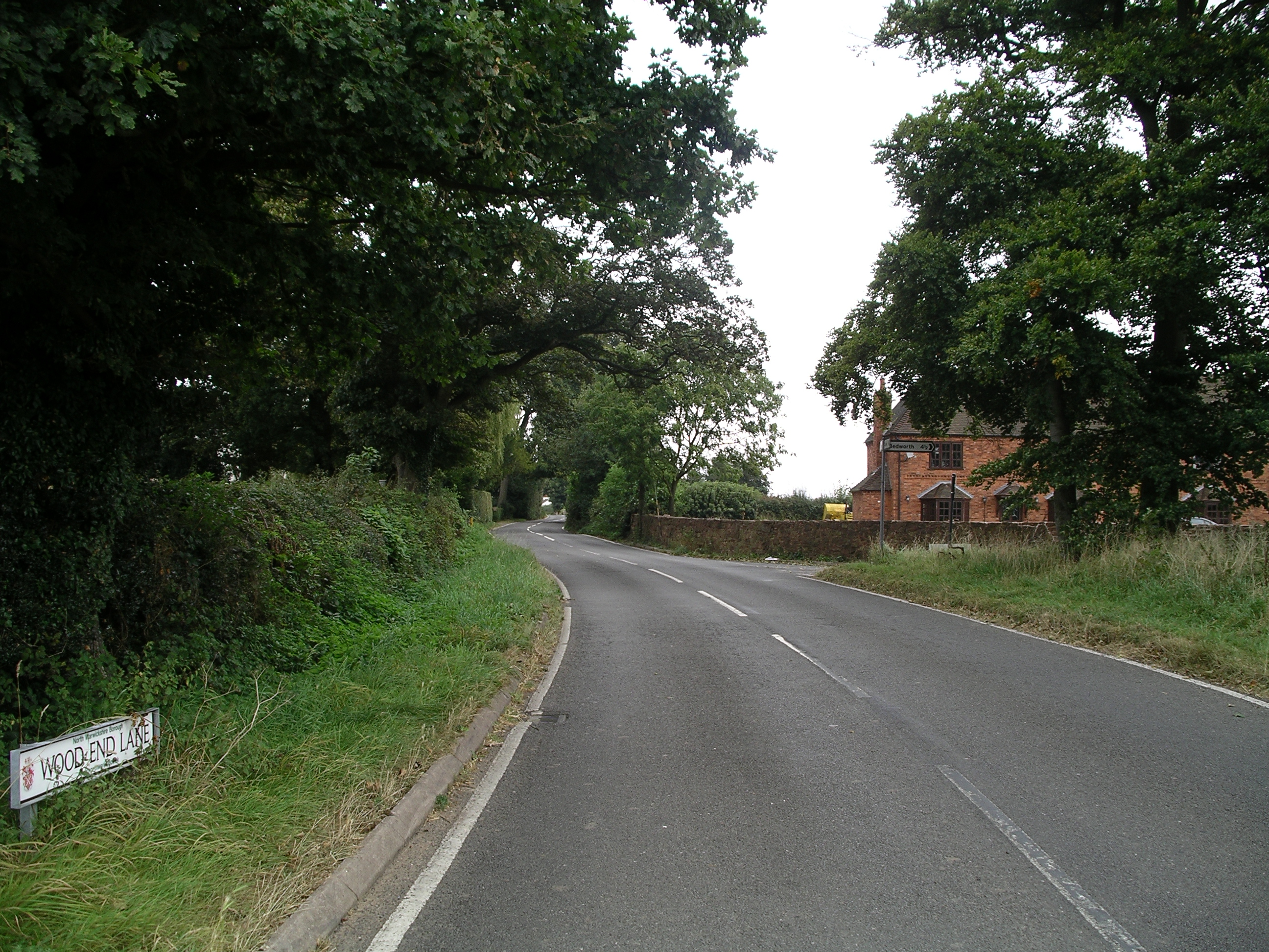
Wood End, Fillongley

Wood End, is a small village in Warwickshire, England. It is situated north of Coventry. The village is part of the civil parish of Fillongley. There is...

Astley, Warwickshire

Astley is a small village and civil parish within the North Warwickshire district of Warwickshire, England. In the 2001 census it had a population of...
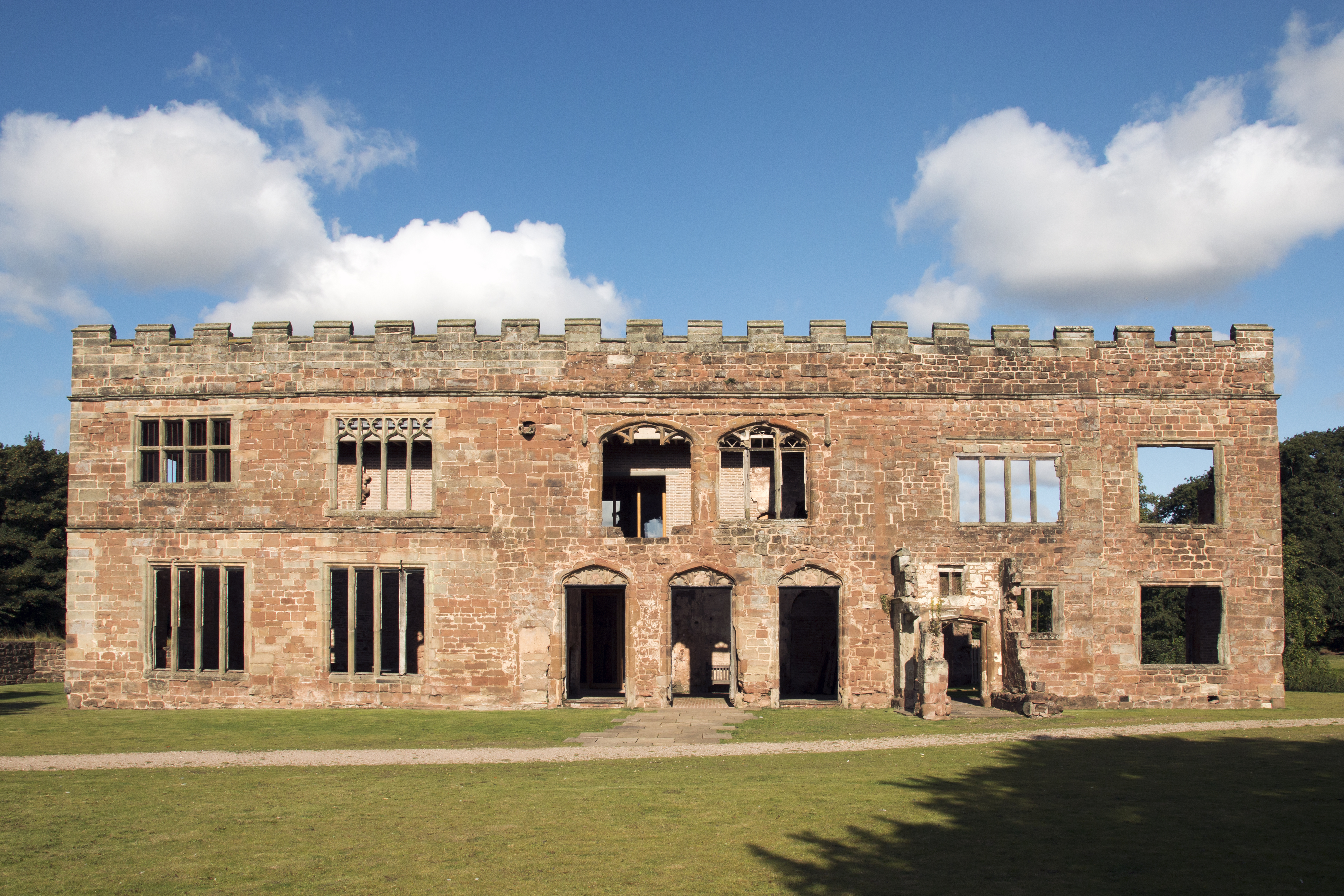
Astley Castle

Astley Castle is a ruinous moated fortified 16th century manor house in North Warwickshire, England. It has been listed as a Grade II* listed building...
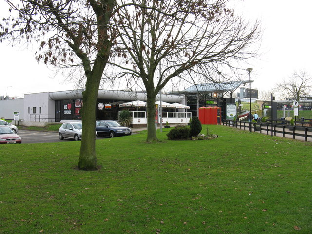
Corley services

Corley services is a motorway service station between junctions 3 and 3A of the M6 motorway in the county of Warwickshire, England. It is close to the...
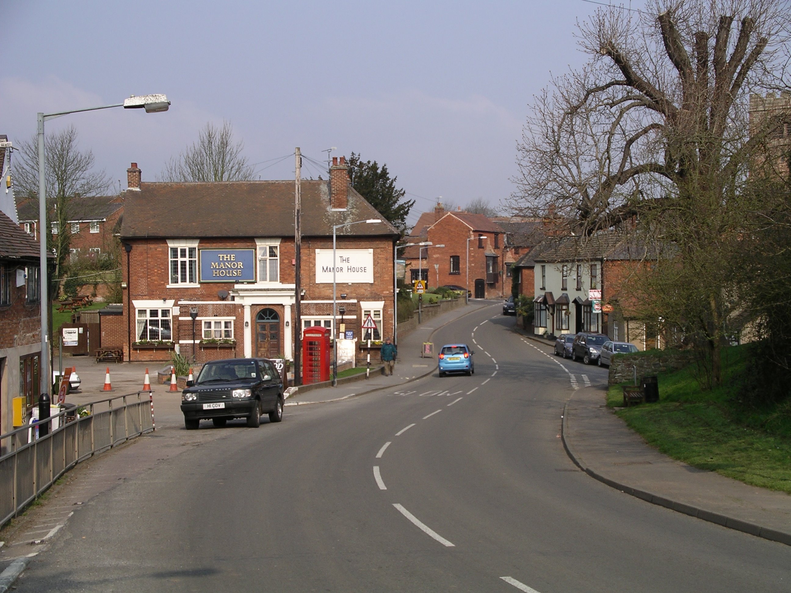
Fillongley

Fillongley, listed as Fillungeleye in 1135, is a village and civil parish in the North Warwickshire district of Warwickshire in England. The village is...

Fillongley Castle

Fillongley Castle was a motte and bailey castle and later a fortified manor house in Fillongley in Warwickshire, England. Today, only earthworks and partial...

Arley and Fillongley railway station

Arley and Fillongley railway station was a station on the Midland Railway, which operated in the Midland county of Warwickshire, in England. == History... ==

Old Arley

Old Arley is a village in the civil parish of Arley, in the north of Warwickshire, England, 5.5 miles (8.9 km) west of Nuneaton and 10 miles (16 km) north...

Nearby Amenities

Located within 500m of 52.488909,-1.5552564
Power: tower
Source: OS 1:25k
Lat/Long: 52.4861125/-1.5603019
Power: tower
Lat/Long: 52.4867789/-1.5545877
The data included in this document is from www.openstreetmap.org. The data is made available under ODbL.

Have you been to Wilkinson's Wood?

Leave your review of Wilkinson's Wood below (or comments, questions and feedback).