Membury
Heritage Site in Berkshire
England
Membury
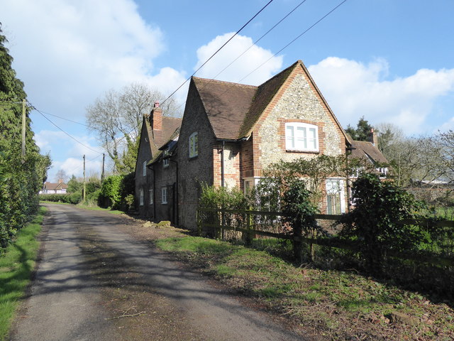
Membury is a small village located in the county of Berkshire, England. Situated in the picturesque Lambourn Valley, it is known for its rich heritage and historical significance. The village is home to several notable heritage sites that attract visitors from all over the world.
One of the main attractions in Membury is the Membury Iron Age hill fort. Believed to have been built around 500 BC, this ancient fortification offers a glimpse into the region's prehistoric past. Visitors can explore the earthworks and defensive ramparts that once protected the community living within.
Another notable heritage site in Membury is the St. John the Baptist Church. Dating back to the 12th century, this beautiful parish church showcases stunning architectural features such as Norman doorways and a medieval tower. Inside, visitors can admire intricate stained glass windows and historic wall paintings.
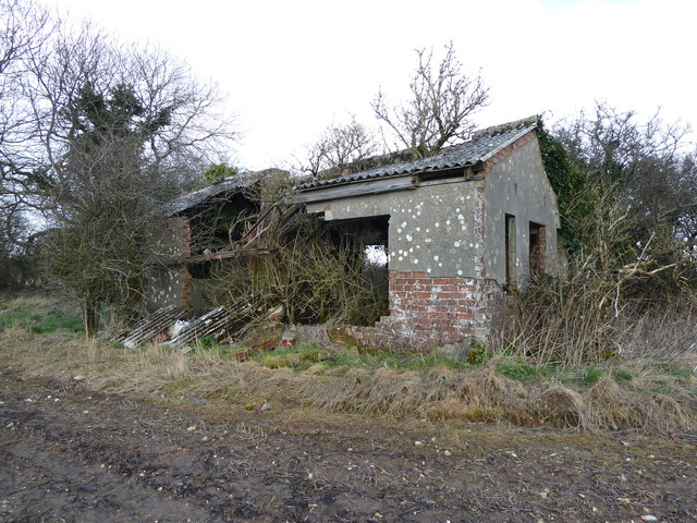
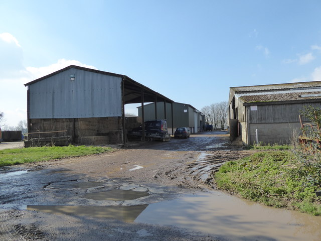
Membury also boasts a rich agricultural history, with many traditional farmsteads and barns still standing today. These structures provide a fascinating insight into the region's rural heritage and the importance of farming throughout the centuries.
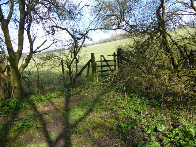
The village itself is charming, with picturesque thatched cottages lining its streets. Visitors can take leisurely walks along the Lambourn River, enjoying the tranquil countryside setting.
In conclusion, Membury, Berkshire is a heritage site of great historical importance. From its Iron Age hill fort to its medieval church and traditional farmsteads, the village offers a unique glimpse into the region's past. Its picturesque setting and charming atmosphere make it a must-visit destination for history enthusiasts and those seeking a peaceful countryside experience.
If you have any feedback on the listing, please let us know in the comments section below.
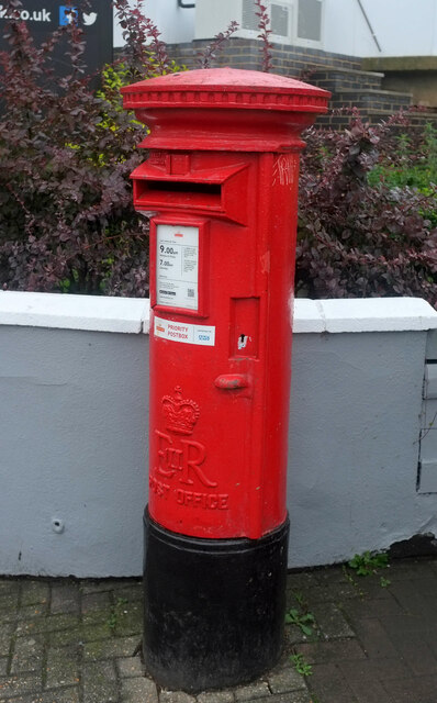
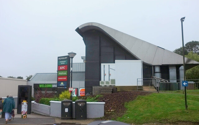
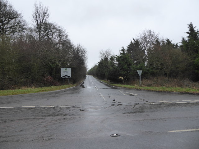
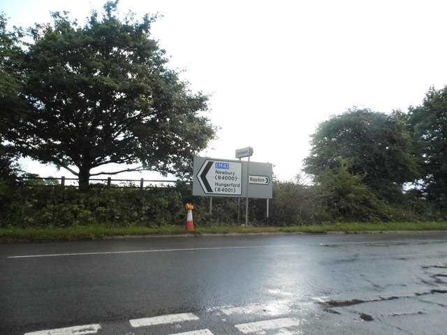
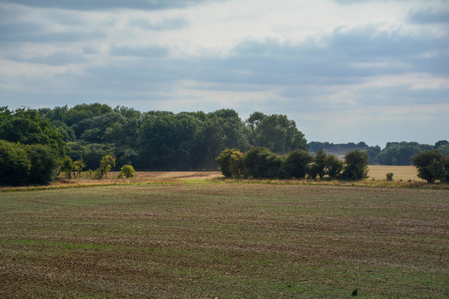
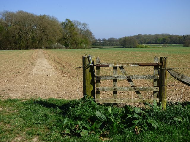
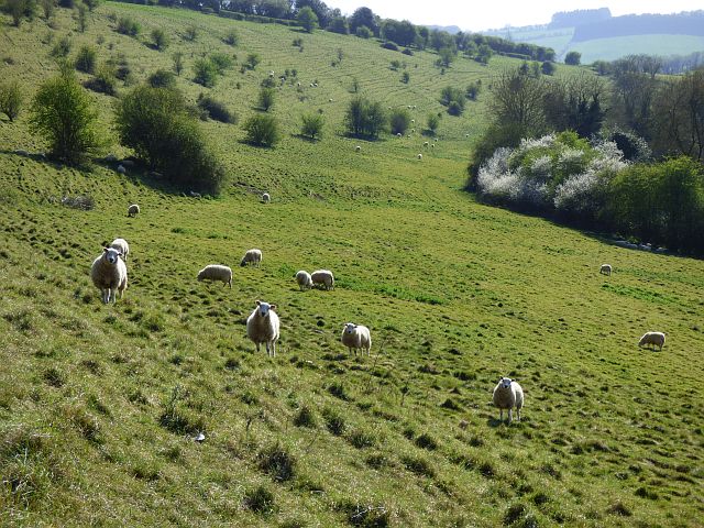
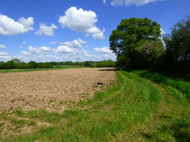
Membury Images
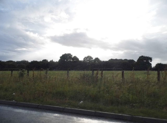
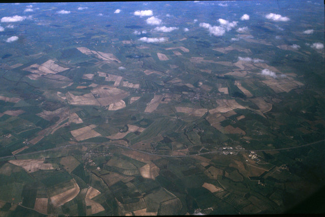
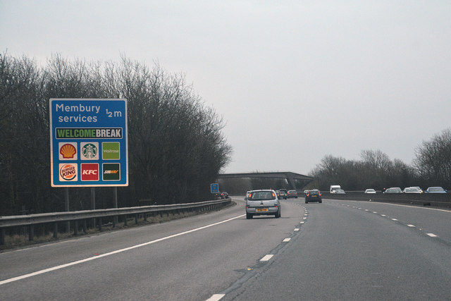
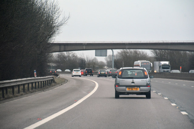
Images are sourced within 2km of 51.477/-1.56 or Grid Reference SU3075. Thanks to Geograph Open Source API. All images are credited.

Membury is located at Grid Ref: SU3075 (Lat: 51.477, Lng: -1.56)
Unitary Authority: West Berkshire
Police Authority: Thames Valley
What 3 Words
///princes.graphics.excellent. Near Aldbourne, Wiltshire
Nearby Locations
Related Wikis

Membury Camp
Membury Camp, or Membury Fort, is the site of an Iron Age hill fort located on the borders of Wiltshire and Berkshire, (the county line divides the site...
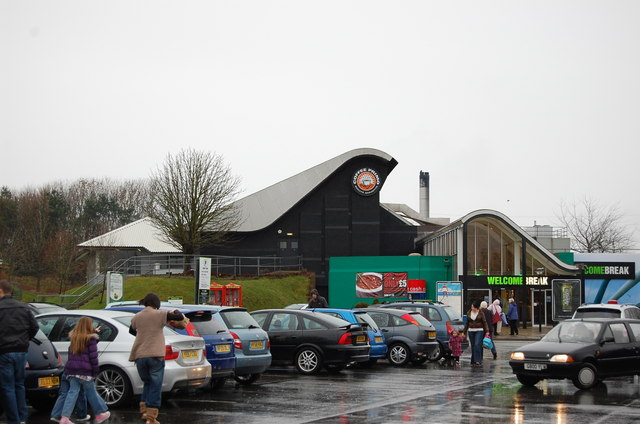
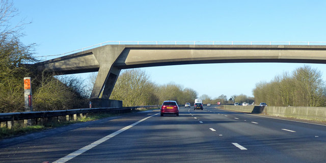
Membury services
Membury services is a motorway service station on the M4 motorway, located on the original site of RAF Membury in the civil parish of Lambourn in the English...
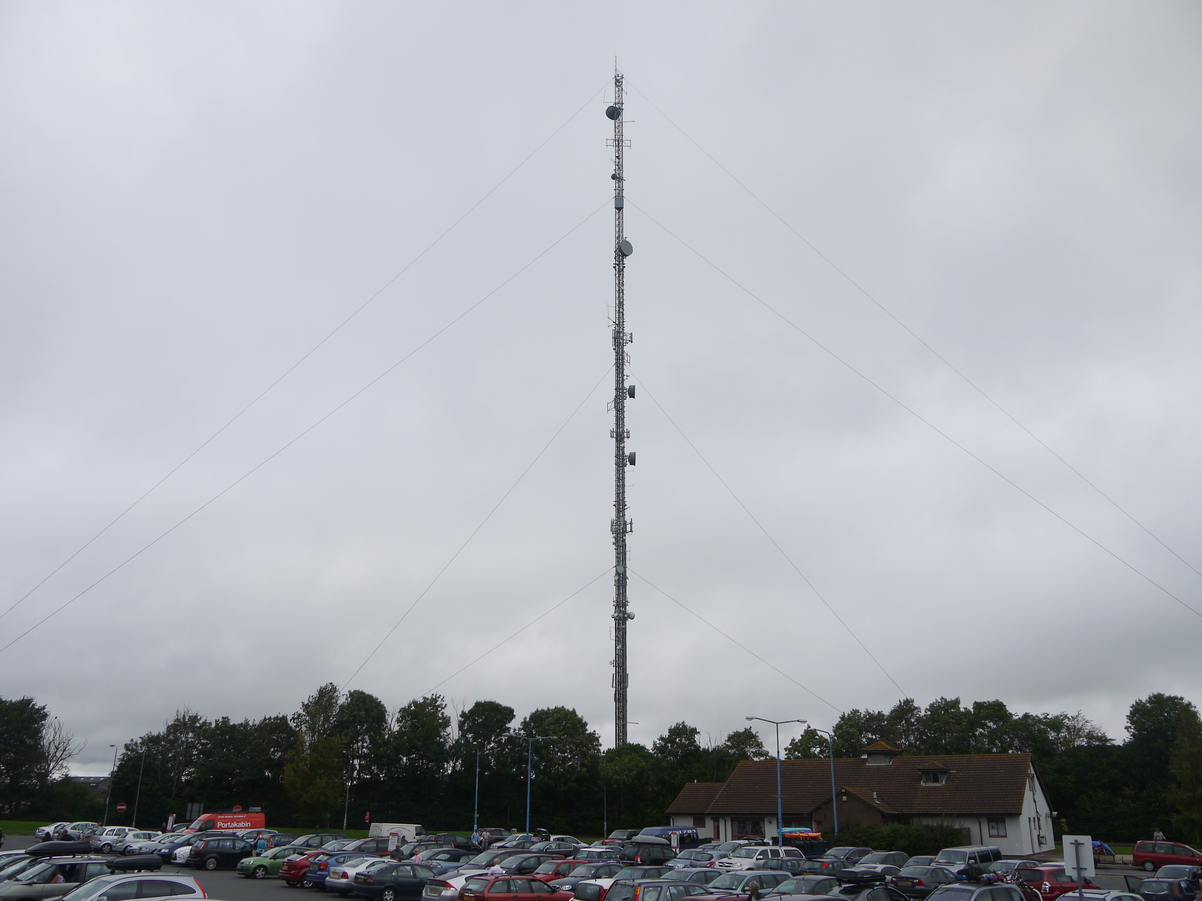
Membury transmitting station
The Membury transmitting station is a broadcasting and telecommunications facility, situated adjacent to the M4 motorway at the Membury services in the...

Lambourn Woodlands
Lambourn Woodlands is a hamlet in the English county of Berkshire. The village is situated in the civil parish of Lambourn, and is 2 miles (3.2 km) to...
Nearby Amenities
Located within 500m of 51.477,-1.56Have you been to Membury?
Leave your review of Membury below (or comments, questions and feedback).